It has been 175 years since the first hoards of hopeful travelers were embarking on a 2,000+ mile trip in search of land and opportunity. Today that historic route, known as the Oregon Trail, can still offer thrills (of the less life-threatening variety) for the curious road tripper. Especially if you’re looking for an adventure that will get you off of the main interstates and into some unexpected parts of the country.
History of the Oregon Trail
It all started when Thomas Jefferson made the Louisiana Purchase in 1803, which continued to fuel the expansion of the U.S. border further west. Though the purchase doubled the size of the continental U.S., little was known about what lay west of Missouri.
Jefferson sent Lewis and Clark on their famous expedition to explore this wild frontier between 1804 and 1806. As we know today, Lewis and Clark eventually made it all the way to the Pacific Ocean in Oregon and back. Their route was far too rough for large groups of settlers to follow, but the stories of the fertile, untamed land piqued the interest of fellow Americans.
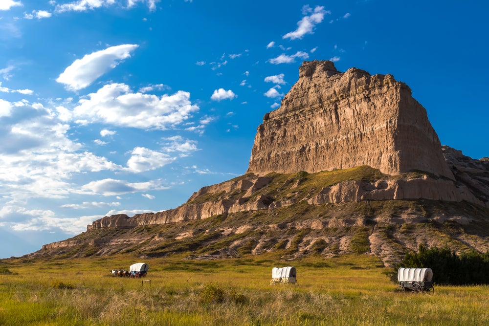
“Oregon trail parkway in Scotts Bluff National Monuments, Nebraska,” according to photographer Krasnova Ekaterina
At the time, states farther west like Oregon were still territories of other European countries. Oregon technically belonged to Britain.
Robert Stuart, a fur trapper based out of Fort Astoria in Oregon, was the first man to traverse what we now know as the Oregon Trail. He traveled from Oregon to St. Louis, Missouri in 1810, and the journey took him 10 months. This established a much tamer route for emigrants who were eager to head west and settle along the frontier. By 1846 so many Americans were moving into Oregon country that the British government officially gave up the land to the U.S.
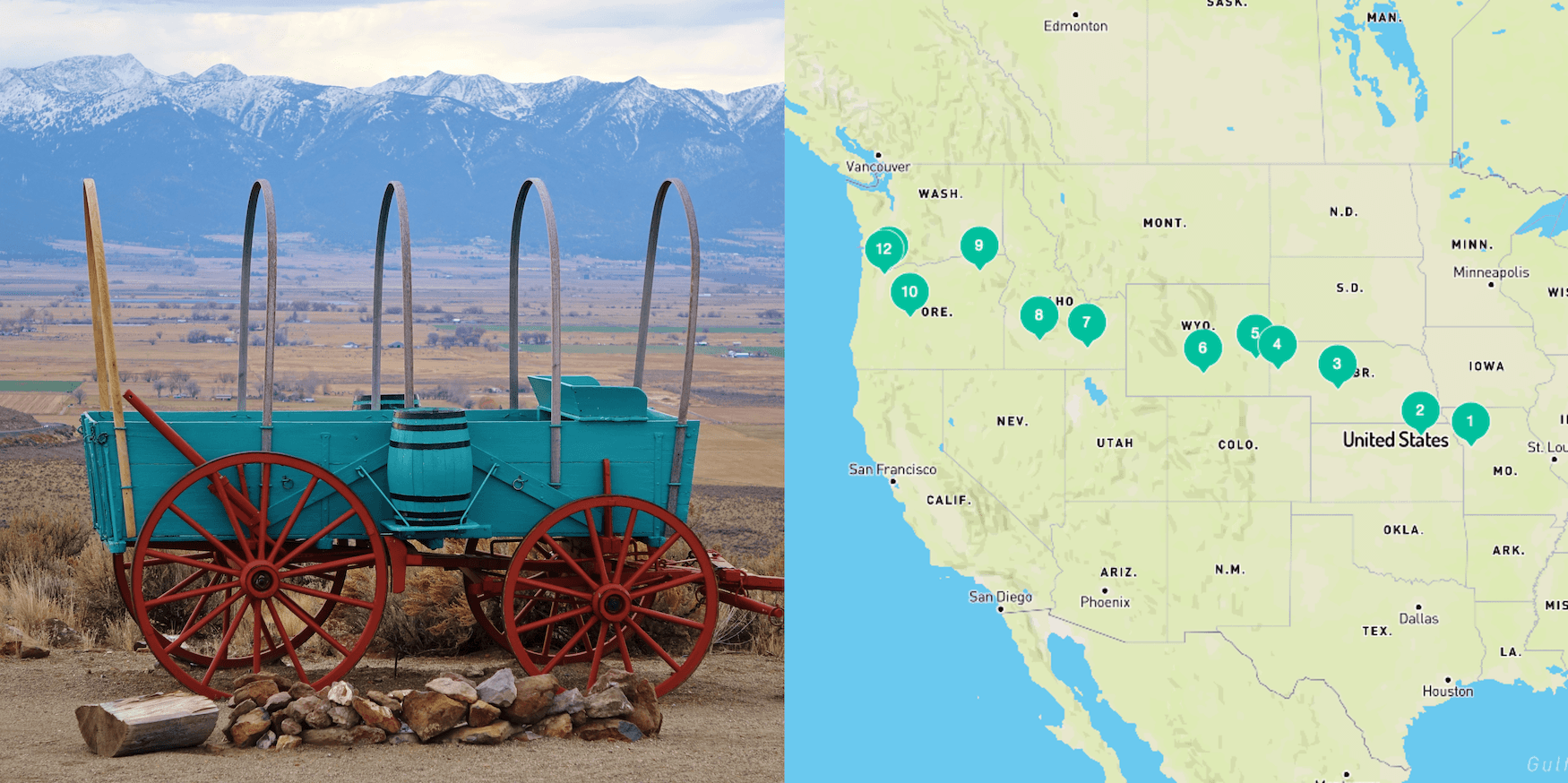
The Oregon Trail stretched more than 2,100 miles from east to west, starting in Independence, Missouri and ending in Oregon’s Willamette Valley. Typically, the journey took a group between five and six months. Many people followed the trail all the way to Oregon, while some chose to stop at other destinations along the way, or to move south into California or Utah.
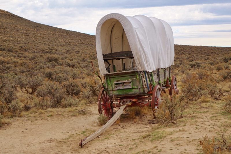
“This historic site near Baker City, OR still has original ruts of the trail cut by pioneer wagons migrating to Oregon more than 150 years ago,” according to photographer Dan Lewis
The popularity of the Oregon Trail peaked in 1843 and would last for the rest of the century, making a lasting impact on the geography and demographic makeup of the United States.
Still today, a majority of the trail and land around it remains untouched with visible wagon ruts serving as the only reminder of its past. In 1978 the Oregon Trail was designated a National Historic Trail by congress. Though some of the land is now privately owned, what remains under government control is officially cared for by the National Parks Service with help from local organizations and government agencies.
State-by-state Guide to Camping the Oregon Trail
Because so much of the trail is surrounded by untouched wild land, the Oregon Trail is an ideal destination for outdoor lovers.
Today, portions of the trail follow some main interstates, but most of the original trail has to be followed on smaller highways and backroads through Missouri, Kansas, Nebraska, Wyoming, Idaho, and Oregon. Some of the land is privately owned, making it impossible to follow the entire trail exactly, but the National Park Service provides detailed driving directions to help travelers follow it as closely as possible. They also have an Oregon Trail app, where you can find routes, historical information, and self guided tours.
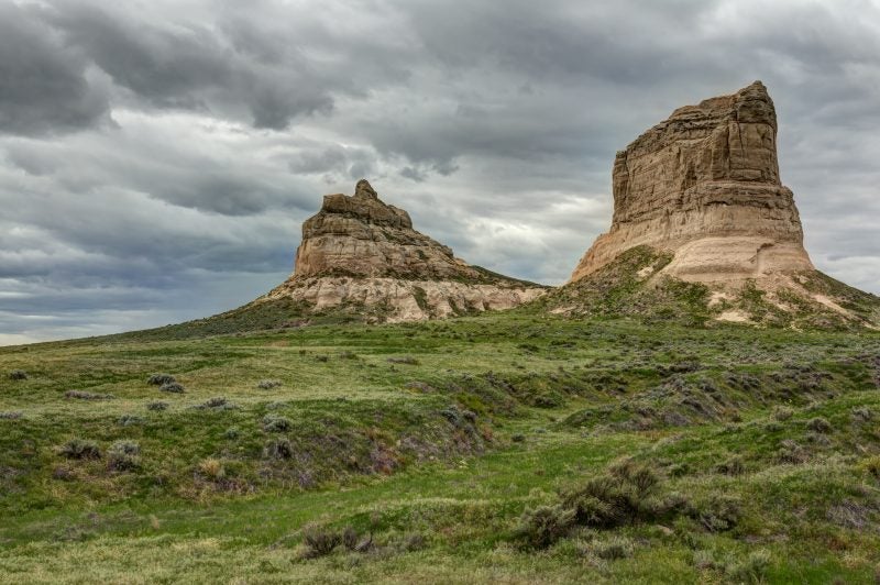
Courthouse and Jailhouse Rock monuments along the Oregon Trail
We’ve gone state-by-state and outlined the best campgrounds and Oregon Trail historic sites to get you started.
Missouri
Missouri was the official jumping off point for emigrants eager to head west on the Oregon Trail. There were several cities where groups would congregate and gather supplies, but the most well-known starting point was Independence, Missouri. Groups would gather in early April or May and set out on the open prairie, hoping to beat the snow in the mountain passes that lay ahead. Because Independence is so close to the border, this is the shortest portion of the trail comprising only 16 miles.
Where to Camp in Missouri
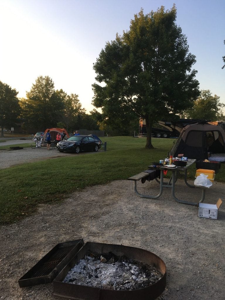
Photo by The Dyrt camper Michael J.
Blue Springs Campground is located near Lake Jacomo, about 20 minutes outside of downtown Independence. You can spend time fishing and kayaking on the lakeor easily head into town to check out the historical sites. There are campsites with full hookups here, or you can opt for a primitive site. Either way, you will get to sleep near the lake and enjoy the serenity of the place.
“I like this place a lot. My wife and I just go down for the day sometimes to trial ride and let our dogs run. Still a great place to drop your boat in. You can even rent their boats for a decent price. Great fishing and swimming spots.” — The Dyrt camper Janelle M.
Oregon Trail Historic Sites in Missouri

Truman Courthouse, also known as the Jackson County Courthouse, in Independence, Missouri
While in town there are two main historic sites to check out: Independence Courthouse Square Complex and Minor Park/Redbridge Crossing. The Independence Courthouse Square Complex was the site where a lot of the action took place. This is where groups were gathering supplies and getting ready for the long journey west. There are still several historic buildings in the area, along with a lively downtown atmosphere to explore. Be sure to stop by the National Frontier Trails Museum for historic information about the trail.
Independence Spring, where wagon trains would make their first stop for water, can be seen near the museum. From there, you can take a wagon tour through downtown Independence.
Minor Park is another prominent point along the route. It’s located near the Missiouri, Kansas border. Cutting right down the middle of the 27-acre park is a deep swell. The swell was made by early wagon trains making their way west. This is where groups made their first water crossing over the Blue River.
Kansas
Now that you are in Kansas, the Oregon Trail moves into more wild country where you can enjoy quiet campgrounds and pristine waterways. Those traveling the trail during its heyday, stopped here at Alcove Spring to rest. This is one of the most interesting destinations on the trail, with many written accounts of the place and names left forever embedded in rocks above the spring. The trail cuts upward through the northeast corner of the state. It is 165 miles total until you reach Nebraska.
Where to Camp in Kansas
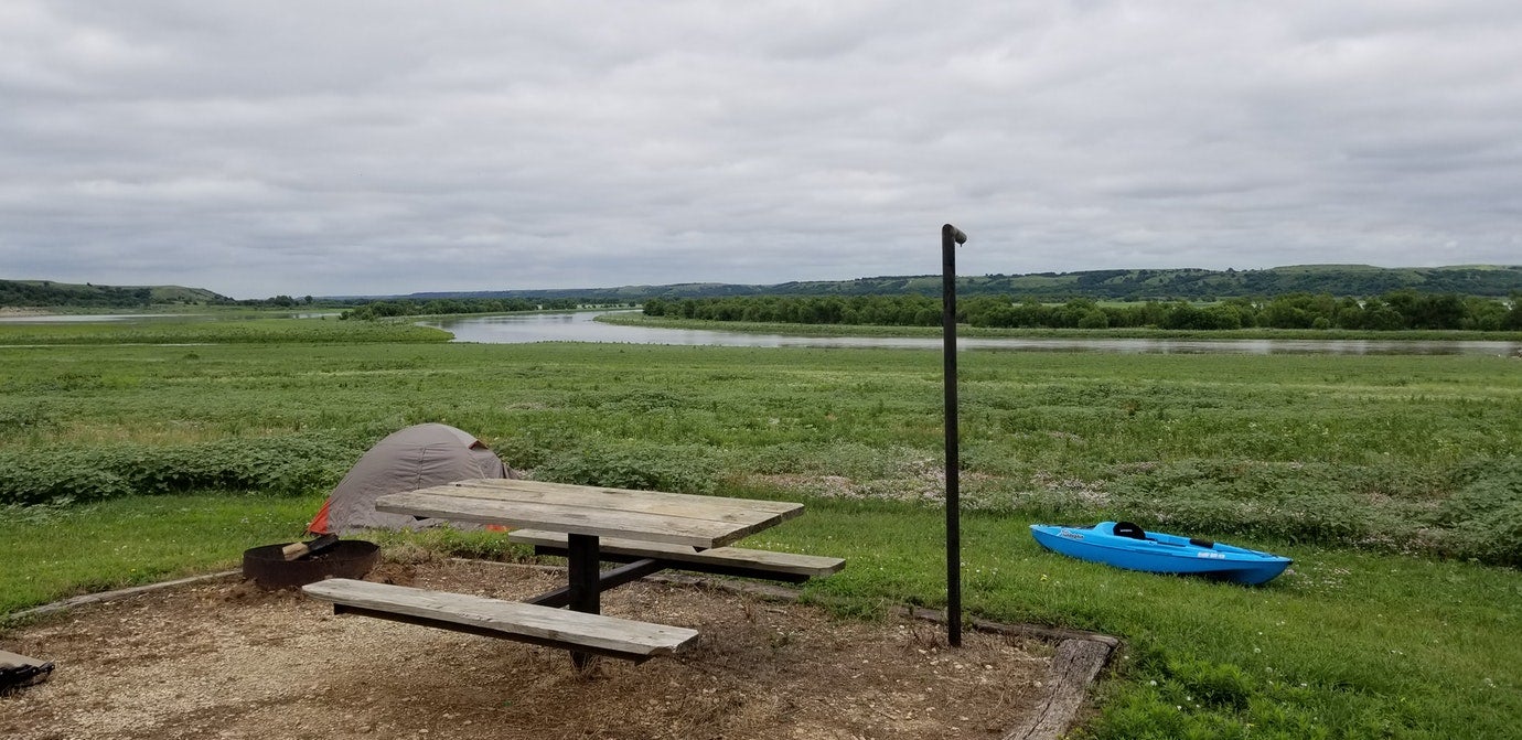
Photo by The Dyrt camper Tara S.
Stop for the night at Fancy Creek State Park. This campground is conveniently located near the driving route, and features 200 primitive campsites and 24 sites are equipped with electric hookups. You can get in the water on your kayak, do some fishing, or check out the 6-mile mountain biking trail.
“Right on the Big Blue. Quaint. Vault toilets, no water. Trailhead to a nice trail. Some sites have shelters. It’s kind of a spread out layout. Great place to get away from busy.” – The Dyrt camper Tara S.
Oregon Trail Historic Sites in Kansas
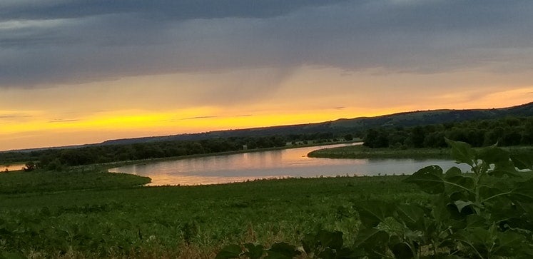
Image from The Dyrt camper Tara S.
Approximately 6 miles south of Marysville, Kansas, you’ll find Alcove Spring. This was a popular spot for pioneers to camp, thanks to its close proximity to the water and the surrounding rock formations. You can still see the signatures of travelers who carved their names into the rock ledge above the spring. There are trails and interpretive markers throughout the area, including wagon swells you can follow to the main camping area used by early pioneers.
Members of the Donner-Reed party stayed at Alcove Spring as well. They lost one of their members here, and one of them even wrote a detailed description of the area in a journal entry.
Nebraska
Nebraska is home to several of the Oregon Trail’s most iconic landmarks, including Chimney Rock, Courthouse Rock, and Jail Rock. These geographical formations tower over the endless seas of prairie grass. They served as mile markers, encouraging the emigrants that they were making progress on their journey. Today you can hike around them, and even find the names of the trails former travelers carved into the rock. At approximately 424 miles, this stretch of the trail is much longer than the previous two, but its geographical wonders make it worth the distance.
Where to Camp in Nebraska
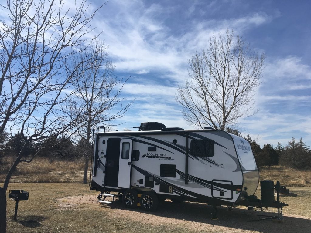
Photo by The Dyrt camper Glenn G.
On your first night in Nebraska, we recommend staying at Buffalo Bill Ranch State Rec Area. The campground is located along the North Platte River, where you can enjoy watching birds and fishing. The campground is also right next to the Buffalo Bill Ranch State Historical Park, where you can tour the home and barn of William F. Cody “Buffalo Bill” who was a prominent figure and entertainer in the Wild West.
“The sites were nicely secluded and the campground was quiet. We didn’t plan on doing much exploring in the area, but ended up spending the better part of our day here.” – The Dyrt camper Sara S.
For the second night, farther west in Nebraska, Riverside Campground near Scottsbluff is a great place to stay. The campground is an oasis along the river, complete with a bathhouse, complimentary WiFi, fishing ponds, and an arboretum.
“The three days we stayed there were a number of rvs with people from the Scottsbluff area. We were there during Gering days and had no issues getting a site. Gravel but with full hookups if needed.” – The Dyrt Camper Chris C.
You’ll find hiking at nearby Scottsbluff National Monument and Wildcat Hills, along with a variety of Oregon Trail historic sites.
Oregon Trail Historic Sites in Nebraska
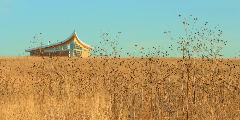
Homestead National Monument of America in Beatrice, Nebraska
Fort Kearny was a military outpost established by the U.S. army in 1848. The fort was built to protect overland travelers. Pony express riders, scouts, and workers building the Transcontinental Railroad took refuge here as well. Today the area is a state park, where you can walk the trails and tour building replicas with artifacts from the original fort.
The Homestead National Monument of America commemorates the Homestead Act of 1862, which played a significant role in westward expansion. Visitors can explore the surrounding hiking trails, take a cell phone guided audio tour, or look at exhibits in the heritage and education centers.
Pioneers had to cross the South Platte River to the North Platte River to continue on their way. The area was referred to as the Upper Crossing near California Hill. After crossing the river, they would then take on a steep grade, the first major one on the trail, up California Hill. Wagon ruts can still be seen here running up the length of the hill.
Courthouse Rock and Jail Rock stand side-by-side. These landmarks were familiar amongst fur trappers, who likely gave them their names long before the Oregon Trail was established. They continued to be a guiding marker on the long journey west, and were considered the first significant landmarks for travelers along the trail.
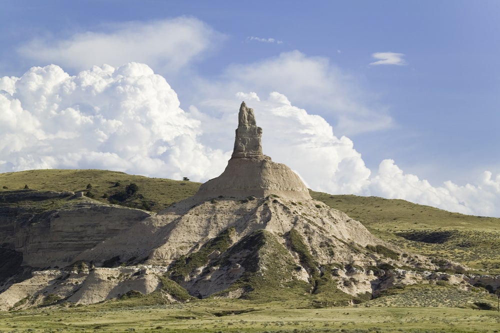
Chimney Rock in Nebraska
Scottsbluff National Monument is located near the town of Scottsbluff along the North Platte River. The area is full of hiking trails, and visitors can see the area where wagon trains moved through Mitchell Pass. In the onsite museum, visitors can also see a large collection of frontier inspired watercolors and photographs by William Henry Jackson.
Chimney Rock is easily the most famous landmark along the Oregon Trail, serving as an icon for westward expansion into the American West. The National Parks Service reviewed pioneer journals and concluded that Chimney Rock was by far the most mentioned destination along the trail. Located within half an hour of Scott’s Bluff National Monument and four miles south of Bayard, this landmark is a must-see for Oregon Trail enthusiasts. Onsite, you can learn more about the area and the history of the Oregon Trail experience.
Wyoming
Oregon Trail travelers came upon one of the most dangerous parts of the trail in Wyoming; the crossing point along the North Platte River. Travelers short of cash would skip the ferries crossing the treacherous waters, for their own, makeshift routes — which often ended tragically.
You’ll find some of the most distinct wagon ruts along the trail at the Guernsey Ruts. In Wyoming, some groups who left too late in the season also met their first troubles with winter snow. This includes the Willie and Martin Handcart Company who were taking the trail into Utah. They got caught in the snow at Martin’s Cove where many starved and died.
The Mormon church has designated a site for Martin’s Cove, though the true location where the group camped in 1856 is still debated. This stretch of the trail is also where you truly move into the western landscape with more hills and mountains springing up in the wake of the previously flat terrain.
The journey through Wyoming is 491 miles in total.
Where to Camp in Wyoming
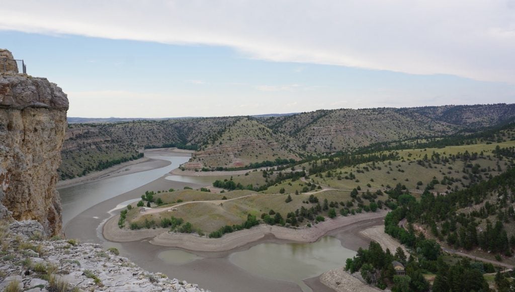
Guernsey State Park Photo by The Dyrt Camper Daniel B.
On the first night, Guernsey State Park in Wyoming offers an ideal spot near the Guernsey Ruts. The campground is also located along the shores of Davis Bay, where you can swim and fish.
“There are options ranging from tents to yurts. It really is a diverse place. Lots of big rigs with big boats at this place. The sites range from no electricity (which made it a bit louder with generators going at night) to 50 amp. Little dusty in places. We stayed in Sandy Beach and had a great view of the water which was perfect at sunset.” – The Dyrt camper Scott M.
On the second night we recommend a stay at Rim Lake Campground just outside of Rawlins. The campground is close to the main road, making it easy to go to all of the surrounding historical sites.
“It’s a good place to fish, camp, and hang out.” – The Dyrt camper Andrea F.
Oregon Trail Historic Sites in Wyoming
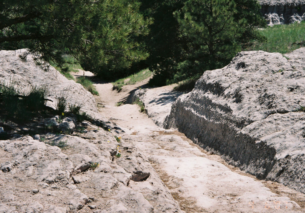
Guernsey Ruts
The Guernsey Ruts are the most distinctive remaining wagon wheel ruts from the Oregon Trail that can still be seen today. The wagons crossed over soft sandstone here, which resulted in areas where the ruts dig down five feet into the ground. Because of the surrounding geography, it is assumed by historians that nearly every wagon that crossed the trail moved through this same exact spot, which is also the reason for the existing rut’s depth and lasting impact.
Fort Laramie National Historic Site was originally an established fur trading post. As western migration became more popular, the fort became a military post. Eventually it was abandoned in 1890. Fort Laramie is located just 52 miles from Scottsbluff National Monument in Nebraska.
Independence Rock, or as native tribes called it, painted rock, is considered the halfway point along the Oregon Trail. Pioneers considered it a good sign for the rest of the trip if they made it to the rock by mid summer. Independence Rock also came to be known as The Great Register of the Desert, because of all of the names and imagery that would be carved into it during the years the trail was used heavily.
Idaho
The 510 miles of the Oregon Trail that winds its way through Idaho offers scenic vistas and riverside camping. Another major river crossing, at Three Islands Crossing, took place here. This was also a major fork in the trail, where travelers had to choose between two routes.
Many emigrants also settled in some of the small towns along the trail in this state, and buildings from that time period litter the landscape.
Take a taste of naturally carbonated spring water at Soda Springs and climb Big Hill, the steepest hill along the trail.
Where to Camp in Idaho
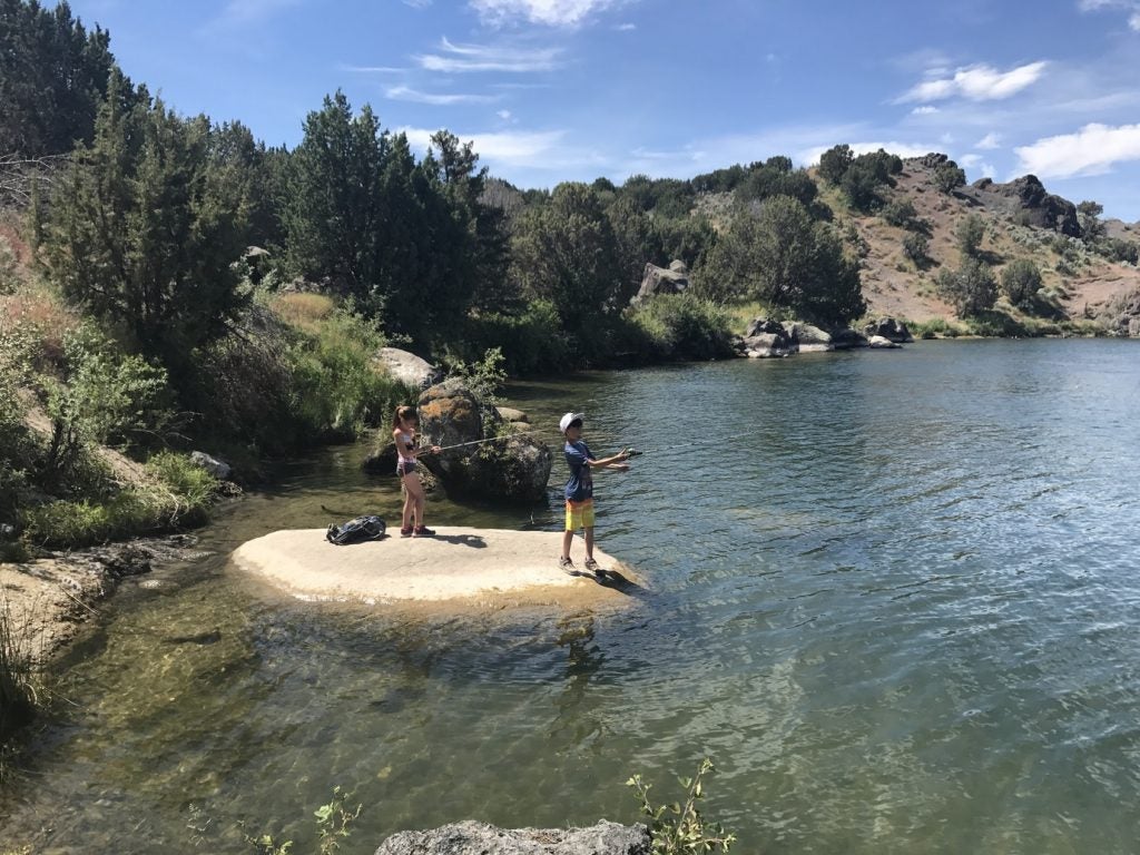
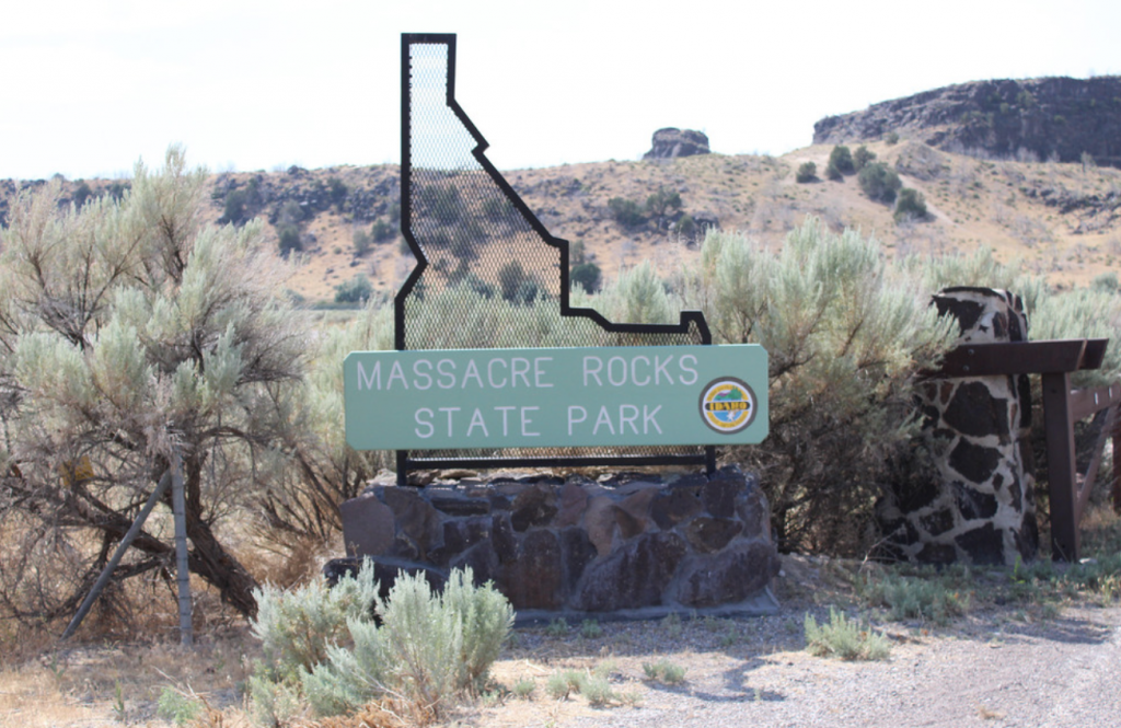
Massacre Rocks State Park photo by The Dyrt camper Dana Y.
Massacre Rocks State Park is a fully-equipped campground with an amphitheater, museum, hiking trails, fishing, tent sites, and cabins. The park got its name because of a deadly clash between settlers and natives in the area. You can see one of the Oregon Trail historic sites, Register Rock, nearby.
“We showed up during the week so it wasn’t too packed. Brought our fishing poles and although we didn’t catch anything, was well worth it. Be sure to go up to Register Rock up the road! So much history here. Highly recommend!” – The Dyrt camper Kali D.
On the second night in Idaho, Three Island Crossing State Park is another overnight option close to an Oregon Trail historic site. The area is rich with local wildlife, especially birds. Nearby there is a winery, where you can kick back and relax. An Oregon Trail History and Education Center can be visited onsite as well.
“Very nice, and well kept. Clean bathrooms and a lot of history with and Interpretive Center in the park.” – The Dyrt camper Anne V.
Oregon Trail Historic Sites in Idaho
Register Rock is located near Massacre Rocks State Park. This is another rock where pioneers famously carved their names into the stone. It is protected by a fence, but you can still get a glimpse of the historic signatures.
A steep climb was encountered at Big Hill in Idaho, followed immediately by the steepest descent along the trail. You can walk the hill to get a taste of what the experience would have been like, and nearby you can also visit the National Oregon/California Trail Center in Montpelier. The Montpelier interpretive center features artifacts and offers the chance to learn more about the individuals who chose to take on this long journey west.
A favorite resting point for many emigrants along the Oregon Trail was the Soda Springs Complex. The warm water from the springs allowed people to relax, bathe, wash clothing and even bake bread. For most this was the first opportunity to do this with ease along the entire 2100+ mile journey. Some of the water here comes out of the ground naturally carbonated. You can still drink from these springs and enjoy fizzy water of the Earth.
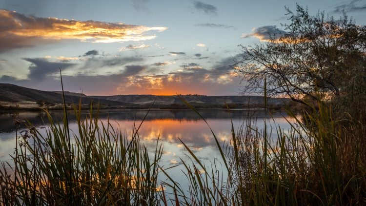
Three Island Crossing, Idaho
Historic Chesterfield, Idaho is an original pioneer settlement, where you can see what life would have been like after pioneers left the trail. Multiple buildings, including a general store, a Mormon meeting house, and several residential dwellings are still standing. Many of the buildings have been restored and are, during certain times of the year, open to walk through.
Three Island Crossing at Glenn’s Ferry was a difficult river crossing for Oregon Trail travelers in Idaho. This was a major fork in the trail, where they either had to cross the Snake River and head west on the northern route or keep going along the southern route.
The northern route was preferable as it took less time, while the southern route was less treacherous with no need to cross the river. This Oregon Trail guide follows the northern route. The southern route would have gone down through Vale and Central Oregon, rather than up through Ontario and along the Columbia River Gorge.
Oregon
Congrats — you made it to Oregon without dying of dysentery or a rattlesnake bite! Luckily, following the trail these days is a much safer endeavor than it would have been nearly two hundred years ago.
Here, the landscape moves through Oregon’s eastern desert and then into the lush expanse of the Columbia River Gorge, and soon after that, the Willamette Valley. Along with stunning views, you can look forward to camping along rivers and under giant fir trees. It is hard not to feel a similar, albeit different, satisfaction upon completing this 524-mile stretch of the trail.
Where to Camp in Oregon
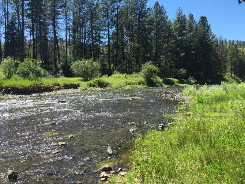
Hilgard Junction State Rec Area photo by The Dyrt camper Steven G.
For the first night in Oregon, check out Hilgard Junction State Recreation Area. This campground features 18 primitive campsites along the water. You will also find a shelter with an Oregon Trail interpretive center and a rafting access point along the Grande Ronde River.
“Although this park is near the highway, it makes for a great day visit or overnight camping. The river is very close and the Umatilla National Forest is a just a short drive up the river.” – The Dyrt camper Lindsey W.
On night two, you can stay at the Wyeth Campground in the Columbia River Gorge National Scenic Area. From the campground you can access the Gorge Trail. The area was the site of an early settlement, and was also used as a campsite for the Civilian Conservation Corps in the 1930s.
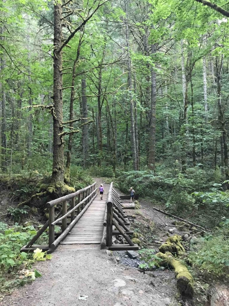
Wyeth Campground photo by The Dyrt camper Dory K.
There aren’t any tent camping sites near Oregon City, which is the official end point of the Oregon Trail. However, there is an RV only site at the Clackamette RV Park.
For tent camping, we recommend heading a little further into the heart of the Willamette Valley and staying at the Champoeg State Heritage Area. Many emigrants spread out through the valley once they reached Oregon, so this gives you a chance to see and explore more of the area. This site is also historically significant. It’s the site where Oregon’s first provincial government was formed in 1843, the year of the big Oregon Trail crossing boom known as the Great Emigration. Onsite there is a visitors center and a pioneer log cabin museum, offering glimpse into pioneer life at the end of the Oregon Trail.
“This campground is a wonderful escape for someone who is not wanting to travel too far from the urban areas like Salem-Keizer. It is a quiet campground with a designated Dog area, beautiful cabins, trails, and an interpretive museum.” – The Dyrt camper Kelly N.
Oregon Trail Historic Sites in Oregon
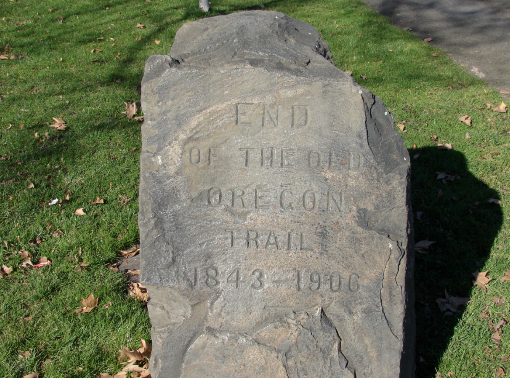
End of the Oregon Trail marker
Farewell Bend State Recreation Area is located just outside of Ontario on the border of Oregon and Idaho. This is where pioneers spent their last night near the Snake River, bidding it farewell before heading on the last leg of the journey into Oregon. There are also campsites here if you don’t feel like driving to Baker City for the night.
Hat Rock was another distinctive marker along the trail. It is one of the last visible icons mentioned by Lewis and Clark on their journey west. You can stop by Hat Rock State Park to check it out.
Flagstaff Hill just outside of Baker City Oregon features 7 miles of preserved trail ruts that you can walk along. There is also an onsite museum, the Oregon Trail Interpretive Center. This was considered one of the more difficult parts of the trail as it required a steep climb through shoulder high sagebrush.
The End of the Oregon Trail site in Oregon City is the last stop. There is a heritage garden, general store, and museum. Through the museum you can also sign up for guided tours of historic main street and heritage homes within the city.
You did it!
Save a List of Oregon Trail Campgrounds on The Dyrt
Are you ready to move through thousands of miles of less frequented, rare and beautiful landscapes? Walk (and drive) in the literal footsteps of history? Now you can earn the sense of accomplishment that awaits at the end of the trail by saving a list of Oregon Trail campgrounds on The Dyrt.
Before you know it, you will be ready for a celebratory cold brew — and lucky for you, Oregon is the perfect place for that.
The Dyrt is the only camping app with all of the public and private campgrounds, RV parks, and free camping locations in the United States. Download now for iOS and Android.Popular Articles:
Articles on The Dyrt Magazine may contain links to affiliate websites. The Dyrt receives an affiliate commission for any purchases made by using such links at no additional cost to you the consumer.

