This article is brought to you by Ethnotek, suppliers of high-quality travel bags that feature fair trade, ethically sourced artisan textiles. Purchasing Ethnotek gear helps sustain employment for the work of artisans in Ghana, Guatemala, India, Indonesia and Vietnam. This travel sling bag can carry all you need for your Palm Springs hiking adventures.
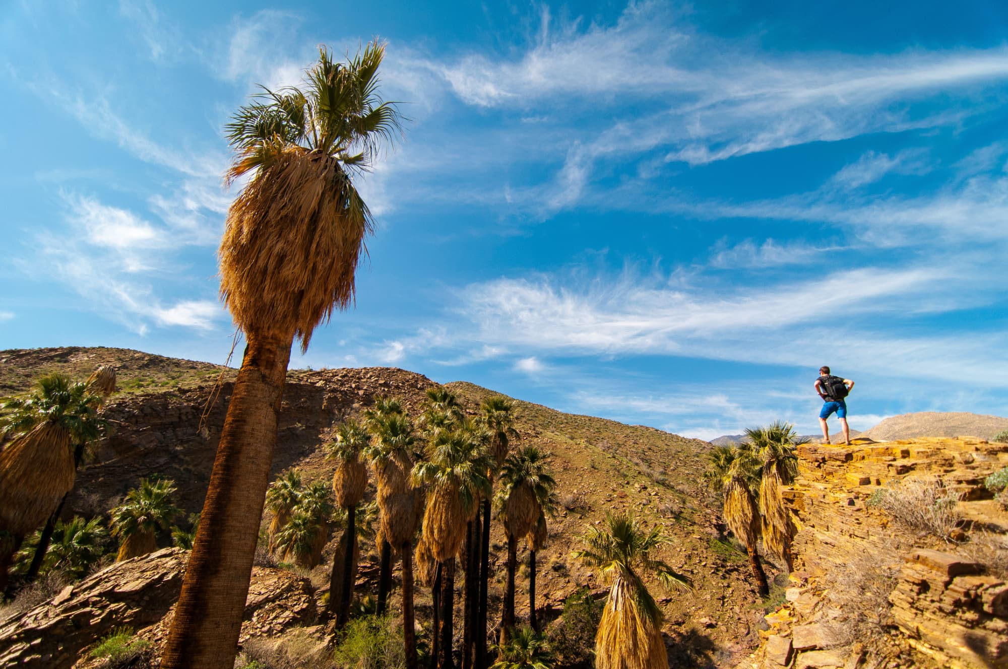
Long before Bob Hope and Elvis built homes here, before Coachella sprouted out of a Pearl Jam concert, before Sonny Bono became mayor, and before the Ace Hotel appeared, people have been flocking to Palm Springs. Not for the mid-century modern casitas or the star-studded parties or the lush green golf courses, but for the clean, beautiful desert. Palm Springs hiking is an experience in and of itself, the city sitting as it does just at the foot of the Santa Rosa and San Jacinto Mountains, on the edge of Joshua Tree National Forest.
In the early 1900s, Palm Springs was touted by naturalists like George Wharton James and physicians like National Parks photography campaigns, as well as National Parks patches and other souvenirs.
The appeal of Palm Springs goes back long before those early snowbirds and health-conscious tourists, however. Thousands of years ago, the first Palm Springs hiking trails were worn into the desert by the Agua Caliente Cahuilla Indians. They named this place Sec-he, meaning “boiling water,” and considered the hot springs in the area sacred. Sec-he proved not only a fertile place to farm during the growing season, but also a warm safe home during the winter.
The Cahuilla lived here for five thousand years before the arrival of the Spanish, and remain in the area to this day. You can walk in their footsteps in the area’s numerous canyons, on your way to see waterfalls, hot springs, and numerous groves of California fan palms— the only type of palm tree that’s native to North America. Not only that, there are trails winding up the 10,834 foot San Jacinto Mountain, rock climbing in Joshua Tree, and local flora and fauna on treks like the Cactus to Clouds trail.
Where to Enjoy Palm Springs Hiking and Camping
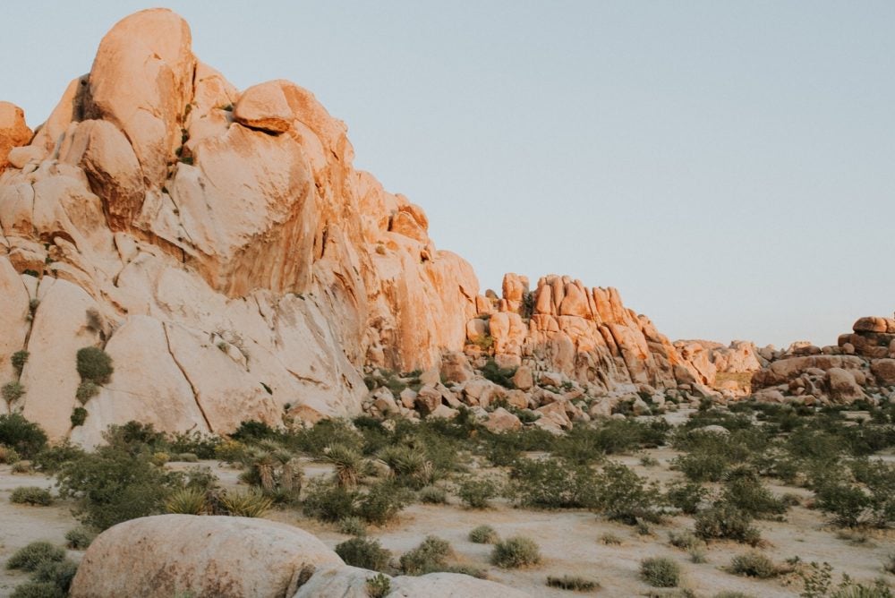
Photo from The Dyrt camper Bri L.
There are almost as many places to go hiking in Palm Springs as there are great options for brunch. Sixty miles of hiking trails snake through Indian Canyon alone, not to mention the numerous nearby National Forests. There’s no doubt about it— if you want to explore the desert by day and stare up at the night sky from your campsite at night, this corner of California is hard to beat. Here are some of the best trails for hiking and sites for camping near Palm Springs:
1. Andreas Canyon Trail — 1 Mile
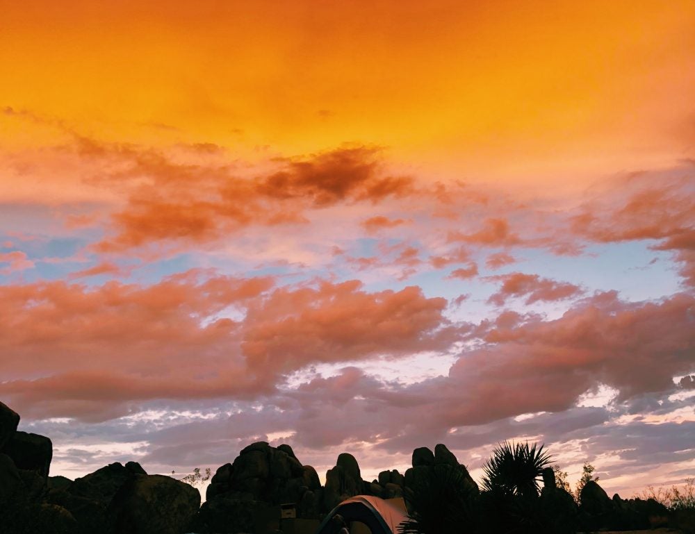
Photo from The Dyrt camper Ashley R.
For some Palm Springs hiking along a creek, the Andreas Canyon Trail is relatively easy and passes through a large palm oasis. That’s not the most remarkable feature of the hike though. The name might not tip you off at first, but it’s shared with the infamous San Andreas Fault. The canyon was formed over thousands of years by tectonic activity, and you can still see evidence of how the land has changed over time from dramatic color striations in the canyon walls.
Another odd feature of the canyon is a small, hidden community of rock homes known as the Andreas Canyon Club. Twenty-two homes were built here in the 1920s, but unlike Palm Springs’ many other gated communities, there’s no chance of buying your way in. According to lore, even Walt Disney was turned down when he tried.
Instead of being bought and sold, these homes are passed down from generation to generation within the community, which might be for the best given that these homes still exist off the grid in order to blend as seamlessly into the landscape as possible.
The closest camping to Andreas Canyon is at the Happy Traveler RV Park. There are 130 sites, and amenities include full hookups, a pool and hot tub, shuffleboard, WiFi, and a clubhouse. Children are only allowed during the summer months, after which the snowbird community settles in for the winter. And for the Viking-descended Minnesotans out there, they proudly note on their website that the night manager at Happy Traveler speaks most Scandinavian languages.
2. Tahquitz Canyon Trail — 1.7 Miles
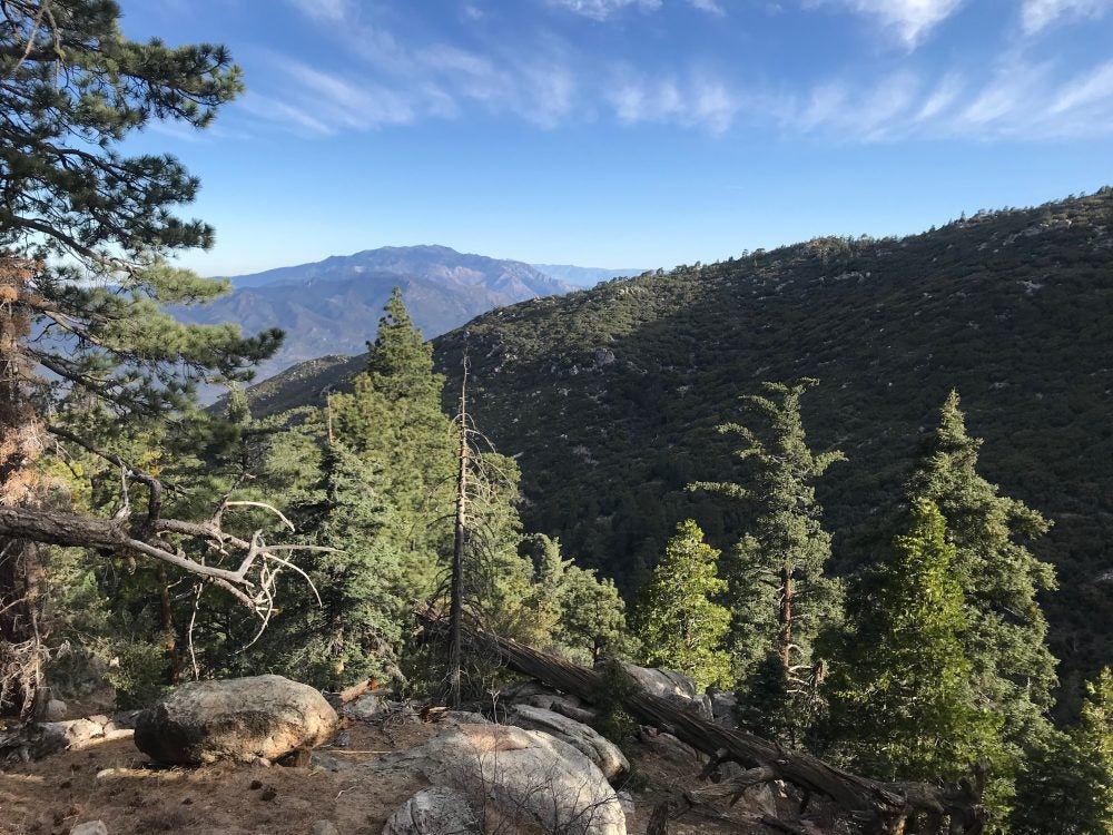
Photo from The Dyrt camper Meghan T.
Tahquitz Canyon is one of the most legendary spots for Palm Springs hiking—hyperbolically and literally. For one, it’s home to one of the best waterfalls in the Palm Springs area, a 60-foot butte surrounded by ancient Native pictographs. You’ll have to pay $12.50 admission fee to the reservation, but it’s only a two-mile hike to reach the falls, and along the way, you can contemplate the Cahuilla legend inspired by the canyon.
According to Native tradition, the canyon is named for the shaman Tahquitz, the first ever made by the great Creator. However, Tahquitz began to misuse the power given to him and was banished from his people. According to the Cahuilla, it’s Tahquitz’s tantrums and stomping in the canyon that cause the earthquakes we now attribute to the San Andreas fault.
Camp nearby at the Santa Rosa Yellow Post Sites, where there are 15 backcountry spots remote enough to forget the glitz and bustle of Palm Springs. Deep in the Santa Rosa Wilderness, you’ll have more mountain views than city lights. The drive in is rocky, as you might expect from a dispersed desert site, and you’ll want to bring plenty of water. Once you’re there, though, the views are rewarding.
“Great fire pit, picnic table, and a flat spot for our tent. Definitely recommend for anyone trying to get away from the mass amounts of people in California.” –The Dyrt camper Meghan T.
3. Cactus to Clouds Trail — 20 Miles
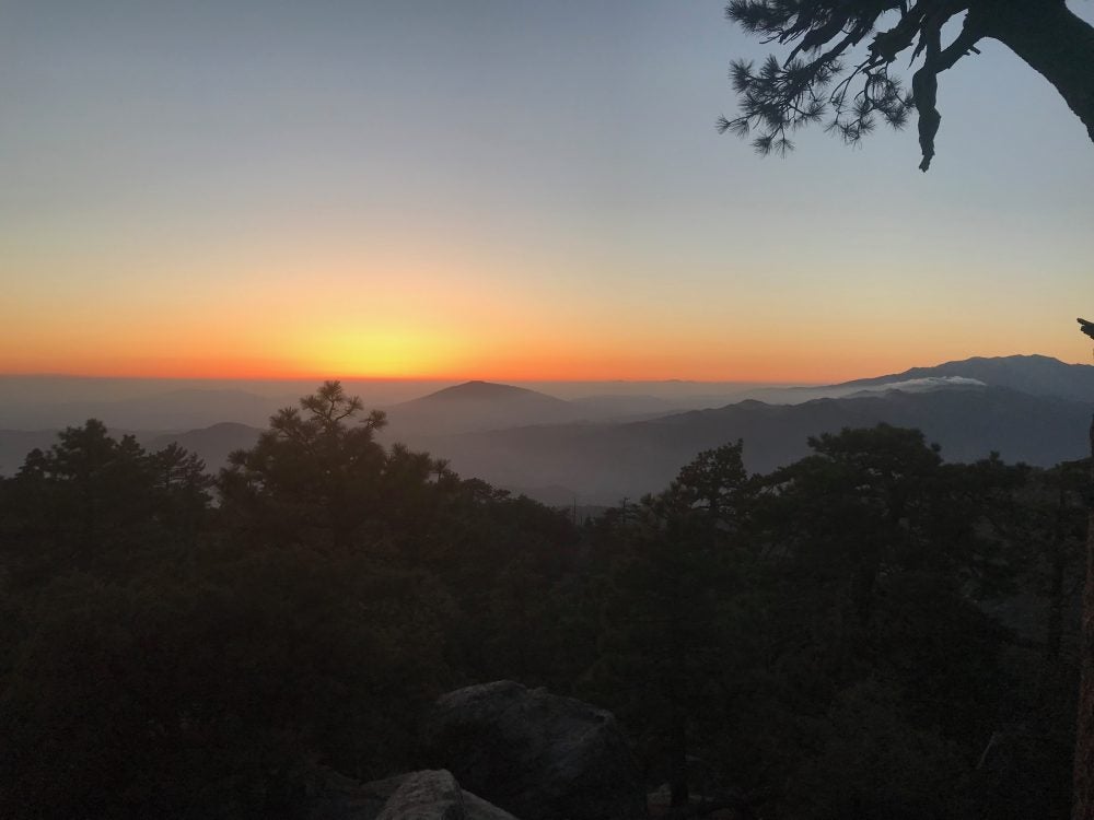
Photo from The Dyrt camper Meghan T.
This trail’s name is more than just a pretty gesture at the landscape around Palm Springs. Over the course of this 20-mile Palm Springs hiking venture, you’ll journey from the cacti-strewn desert by the Palm Springs Art Museum up into the clouds swirling around Mount San Jacinto. That’s a 10,000-foot climb over a relatively short mileage, adding up to an average of 500 feet gained each mile you hike.
As anyone familiar with desert climates knows, that big an elevation change is challenging to more than just your quads. It also means a huge swing in temperature, from the trailhead where temperatures can climb into the triple digits, to the summit where you might dip below zero.
Between the climate variation and the mileage, it’s best to start early in the day, and preferably during shoulder season. The milder temperatures— on both ends of the spectrum— during spring and fall will let you really savor the unique beauty of Cactus to Clouds.
We wouldn’t blame you if you wanted to head straight to one of Palm Springs’ famous spas (or bars) after finishing your hike. After all, in 2005 Backpacker Magazine named the Cactus to Clouds Trail one of the world’s hardest day hikes. If you want to reward yourself by sleeping under the stars, however, the closest campground is at Round Valley.
You can also take the easy route by riding the Palm Springs Aerial Tramway up the mountain and hiking a last 2.5 miles to Round Valley. We won’t tell.
“We stayed at the round valley campground in March of this year. there was still some snow and it was beautiful. we took the tram up from palm springs and backpacked to the campground before summiting up San Jacinto peak. The views were breathtaking and the elevation was a killer.” –The Dyrt camper Katie O.
4. The Nine Peak Challenge in Sand to Snow National Monument — 427 Miles
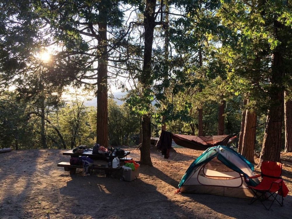
Photo from The Dyrt camper Jennifer D.
Sand to Snow National Monument is just a couple years old— it was designated by President Obama in 2016. It’s home to 240 species of birds, 12 endangered species, and thousands of ancient pictographs from the Cahuilla people, who consider the San Gorgonio wilderness sacred.
The Sand to Snow BLM land encompasses 30 miles of the PCT, as well as numerous other trails to explore. If you’re looking to see as much as possible and enjoy a little type two fun, the Nine Peak Challenge is exactly what you need.
This tough 427-mile hike gains over 8,300 feet in elevation and traverses nine peaks, including San Gorgonio Mountain, Jepson Peak, Anderson Peak, Charlton Peak, Little Charlton Peak, San Bernardino East Peak, Shields Peak, San Bernardino Peak, and Alto Diablo. All nine peaks are 10,000 feet tall or more, and over the course of the day you’ll wind your way from the floor of the Sonoran desert to vantage points where you can see the full drama of the San Andreas tectonic creations.
Camp nearby at Coon Creek, where there are sites for everything from tents to RVs and even a cabin.
“Water is only available near the main road so bring containers if you go further up the road. No reservations on the majority of sights but there is a cabin at the end of Coon Creek called Coon Creek Cabin and it requires a reservation with a fee. The PCT is nearby if you want to get a few extra miles logged.” –The Dyrt camper Tom P.
5. The Vivian Creek Trail — 17.2 Miles
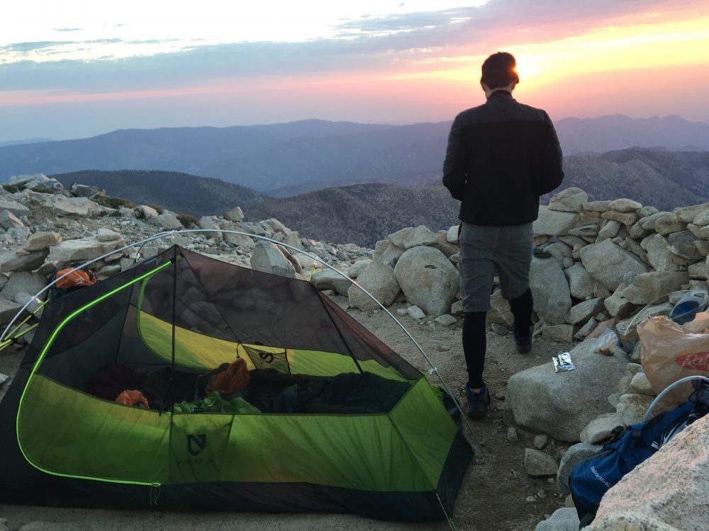
Photo from The Dyrt camper Brittany F.
Vivian Creek has distinctions as the shortest, steepest, and first route up Mt. San Gorgonio. It was named for Albert Vivian of Yucaipa, who carved the Palm Springs hiking trail through the stands of Ponderosa pines in 1898. At 11,499 feet tall, San Gorgonio has claimed a few lives not because the hiking is especially hazardous, but due to several plane crashes. Two of the victims include Frank Sinatra’s mother and Dean Martin’s son. There’s lots of wildlife in the area, too, and you might have a chance to see black bears in the wild.
Not only will you have the chance to climb the highest mountain in SoCal, but you’ll also have an uninterrupted view of Yucaipa Ridge and Galena Peak, and the surrounding countryside. On your way up and down the Vivian Creek Trail, there are several campgrounds to choose from, and by which to chart your progress.
“These are not your typical campsites. Each “site” is a little rock “hotel” to act as a barrier between you and the wind that is blowing more times than not, up to 40+ mph. There are 4 sites to the North side of the summit which overlook Joshua Tree, Crestline area, and Big Bear Lake. To the East of the summit about 75 feet, there are about 4 more rock hotels. The view on these are spectacular! You can see Joshua Tree, San Jacinto Mountain, Palm Springs, Moreno Valley/Perris, Rancho Cucamonga, and further on a clear day. It is said, on a very clear day from the summit, you can see Mt. Whitney!” –The Dyrt camper Brittany F.
6. The McCallum Trail in Thousand Trails Oasis — 1.7 Miles
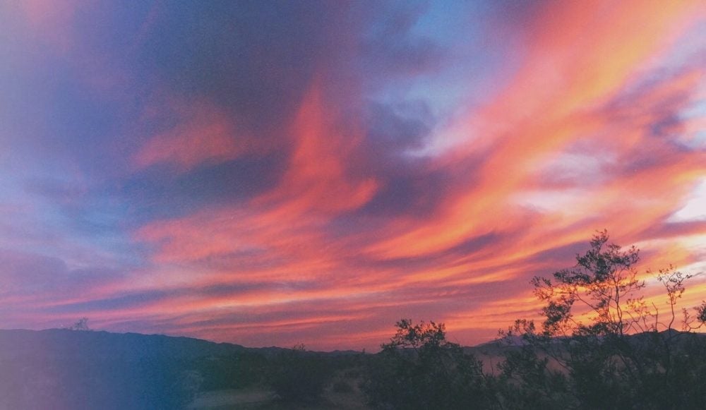
Photo from The Dyrt camper Jordan W.
If you want to explore the wild world beneath Palm Springs, rather than staring down at the city from above, head to Thousand Trails Oasis to explore the San Andreas fault up close. The McCallum Trail crosses the San Andreas fault, and this moderately difficult two mile hike will also take you over marshy wetlands fed by underground springs— hence all the magnificent California palms that form the oasis.
Much of this Palm Springs hiking trail is on boardwalks, winding through the habitat of rare creatures like the fringe-toed lizard, round-tailed ground squirrel, flat-tailed horned lizard, and burrowing owls. If you want to learn as much as possible about this unique corner of the world, take advantage of the guided hikes that are offered on a variety of themes, led by experts who know the oasis as well as the layout of their own homes.
You can camp just minutes away at Thousand Trails RV Park, a 25-acre, 450 site Palm Springs campground. All the sites are full-hookup, and for those without RVs there are some small cabins, too. The campground includes niceties like a pool, hot tub, and billiards table, so it’s easy to see why this spot is so popular with snowbird and full-time campers.
“Fun! Great campground. Close to many attractions. Parking big rig between the palm trees can be a challenge.” –The Dyrt camper Rose G.
7. Skull Rock & Jumbo Rocks Loop — 4 Miles
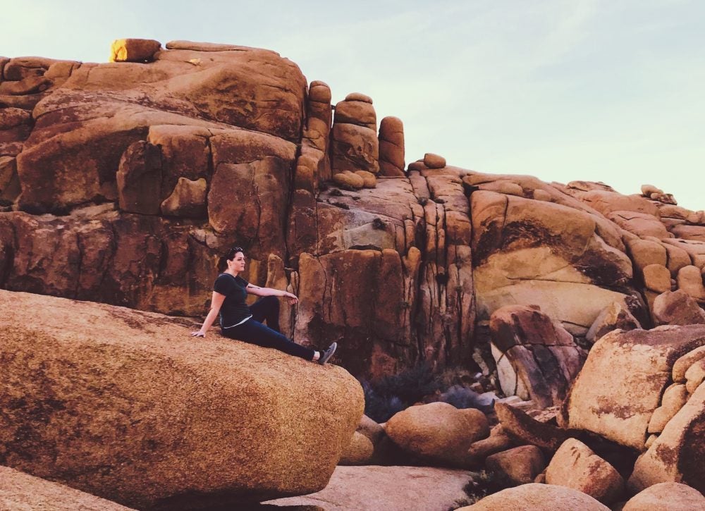
Photo from The Dyrt camper Andrea C.
Whether you come for the sunsets, the rock climbing, the stargazing, or the hiking by Palm Springs, Jumbo Rocks has a lot to offer. This campground just outside Joshua Tree National Park has 124 sites, and is very popular with everyone from climbers to slacklining enthusiasts to boondockers. The boulders themselves offer some measure of privacy from your neighbors, though not much.
The Skull Rock and Jumbo Rocks Loop is a favorite for Palm Springs hiking thanks to being relatively short and easy while also taking hikers past some of the most iconic rock formations in the area. The rocks this campground was named for are made of monzogranite, a type of rock that formed by cooling magma that squirted out of the ground millions of years ago, kind of like fat rolls of toothpaste squeeze from the tube. Several Dyrt Campers recommend hiking the loop by the light of a full moon— a fun night hike you won’t soon forget.
“Almost all sites have an awesome view, but ours came with a giant cluster of boulders we could climb up and watch the sun go down, which was an added bonus. We loved the Ryan Mountain trail, Panorama Loop, and the Cholla Garden — and just playing around on the rocks.” –The Dyrt campers The Switchback Kids
8. The Palm Springs Museum Trail — .6 Miles
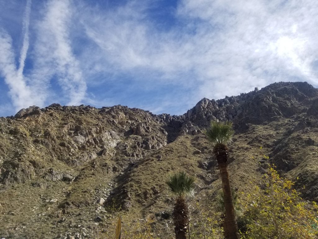
Photo from The Dyrt camper Megan B. in the midst of Palm Springs Hiking
Of all the Places to go hiking in Palm Springs, the Museum Trail is hard to beat for proximity to downtown and views of the city. After exploring the Palm Springs Art Museum’s permanent collection of Native and Western art, you can hike up the San Jacinto Mountains with a travel sling bag that can hold your essentials. Ethnotek makes a nice one that is generously roomy, and can convert from a cross-body bag to sitting on your waist if you want to keep your hands free for snapping photos.
It’s easy to extend this particular hike. The Palm Springs Museum Trail crosses paths with both the Cactus to Clouds Trail and the Lykken trail system. By the time you’re done with this two-mile hike, you’ll definitely feel aware of your glutes. Unwind at Emerald Desert RV Resort, which not only has a pool and hot tub but spa services, too. While you’re getting a massage (or any time during your stay) you can arrange to have your RV detailed. There’s also a dog park, putting green, and 12 villas if you’re craving a little luxury. This is Palm Springs, after all!
9. Kim Nicol Trail — 5.6 Miles
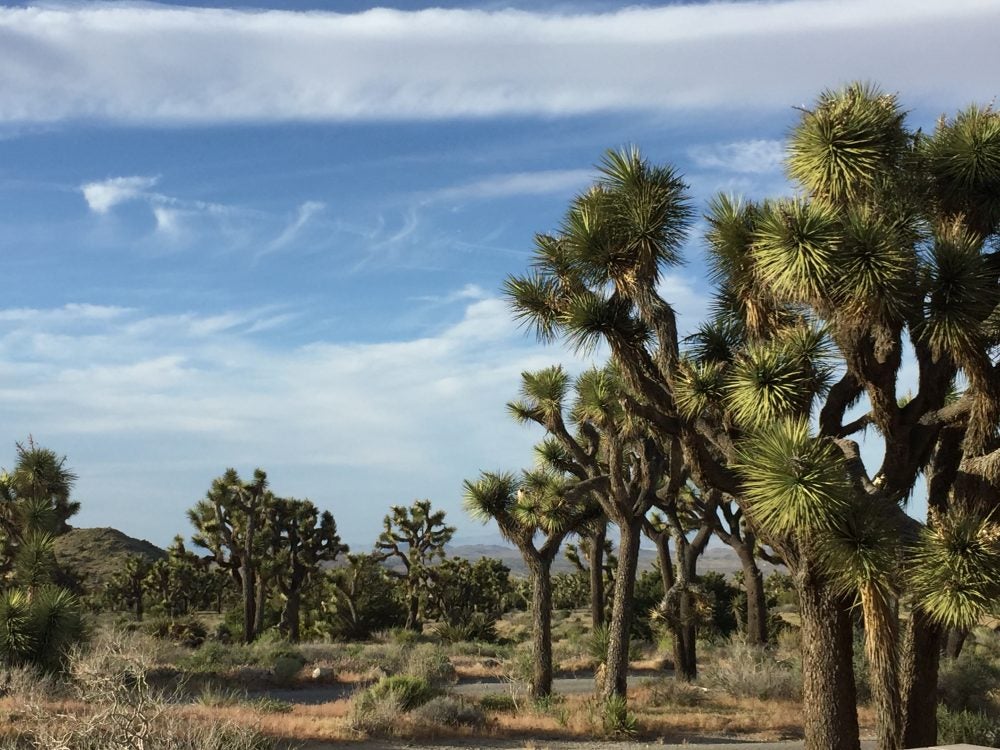
Photo from The Dyrt camper Carly M.
This brand new 5.6-mile loop is now open to hikers, cyclists, and your #DyrtDog. It was named in honor of the late Kim Nicol, who served as the regional manager for the California Department of Fish and Wildlife. The grand opening celebrated not only a new place to go hiking in Palm Springs, but also one of the first trails to open in over a decade.
The toughest part of this Palm Springs hiking trail is at the beginning, with brief elevation gain, before mellowing out. Like other hikes in the Coachella Valley, there are boardwalk sections, some of which seem to tunnel through walls of fuzzy palms. Other sections are a workout as you hike through sand and over dunes. Rest up after at Catalina Spa and RV Resort. It’s beautifully appointed and affordable— not always an easy combination to find in Palm Springs.
“This gem is located on the outskirts of Desert Hot Springs, CA. With two hot spring-fed pools and hot tubs (one of which is massive and SO luxe), we didn’t want to leave. Like, ever. Gorgeous views of the mountains, spectacular sunsets, and all-around great vibes. Also, lots of bunny sightings everywhere on the grounds!” –The Dyrt camper Jordan W.
10. The Araby Trail — 4.1 Miles
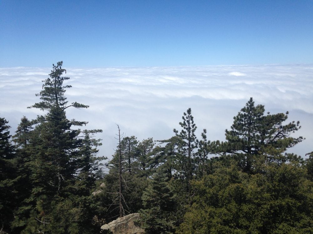
Photo from The Dyrt camper Leslie R.
In the hills around Cathedral City, the Araby neighborhood has been a cozy enclave since the 1920s. Behind the majestic homes, a few trails wind over Murray Hill, a notable promontory on the Palm Springs skyline. One of those is the Araby Trail, which extends for 3-4 miles before branching off to the Earl Henderson Trail, Clara Burgess Trail, and Wildhorse trail.
One of the most notable landmarks along the way is Bob Hope’s iconic home. In fact, locals are more likely to call this “the trail to Bob Hope’s house” than the Araby Trail. Another famous house you’ll see along this hike is the Elrod house, which appeared in the James Bond film
When you’ve had enough sun and sand, head back down into Cathedral City and camp at the Palm Springs Oasis RV Resort. It boasts 140 Sites with full hookups and a pool. It’s also right next door to the Date Palm Country Club, as well as Tony’s Burgers, which has been a favorite in Palm Springs for 25 years.
11. The Frank Bogert Hiking Trail — 3.8 Miles
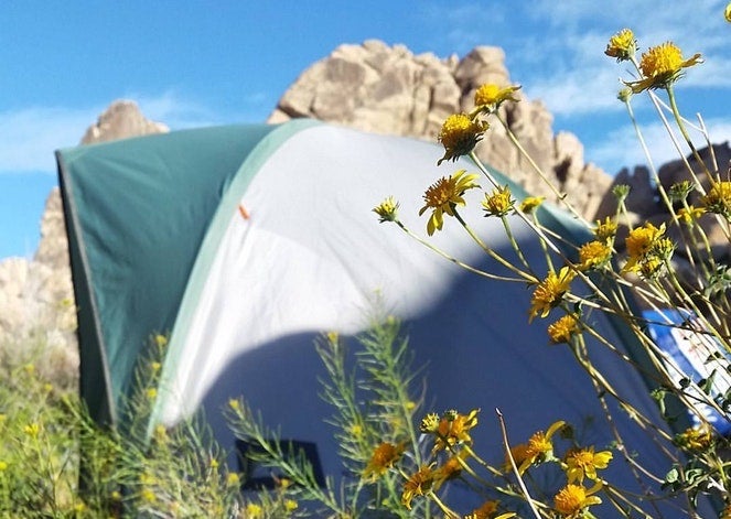
Photo from The Dyrt camper Mon M.
Frank Bogert is another stunning Murray Hill hike that’s relatively new to the collection of Palm Springs’ hiking trails. It’s named in honor of the Palm Springs mayor who proceeded Sonny Bono, a classic cowboy and rodeo announcer who also worked in show business and eventually politics. The Frank Bogert Trail starts near South Palm Canyon and Indian Canyons, and works its way up Murray Hill, crossing paths along the way with some of the same trails that intersect the Araby Trail.
Savor your memories of old Palm Springs afterward at Desert Shadows RV Resort, a stylish community limited to those 55 and older. They’ve been open since 1984, thanks to Sidney Kibrick, who played ‘Woim’ in the Our Gang comedies that were popular in the 1930s. There are six pools, 5 spas, and 3 saunas on the property, including an Olympic size lap pool and an indoor pool.
Desert Shadows also features tons more indoor-outdoor amenities and entertainment spaces that speak to Palm Springs’ legacy of luxury. All sites have water, 50 amp electrical hookup, sewer, over 60 channels of cable TV, and telephone connections.
Related Campgrounds:
- Agua Calienty Campground, Julian, CA
- Idyllwild RV Resort, Idyllwild-Pine Cove, CA
- Lake Hemet, Mountain Center, CA
Popular Articles:
Articles on The Dyrt Magazine may contain links to affiliate websites. The Dyrt receives an affiliate commission for any purchases made by using such links at no additional cost to you the consumer.

