From remote, interconnected lakes to historic pioneer settlements to a bustling urban waterway, national parks in Minnesota, monuments and recreation areas showcase the state’s diverse landscape, history and culture.
The “Land of 10,000 Lakes” runs the gamut of National Park Service (NPS) designations. While there is only one officially-designated national park in Minnesota, the state also possesses a variety of national monuments, recreation areas, riverways and trails. Each of these sites, all managed by the NPS, allow visitors to explore and play in Minnesota’s unique natural places in a variety ways.
Campers will Love These 6 National Parks in Minnesota, Monuments & Recreation Areas
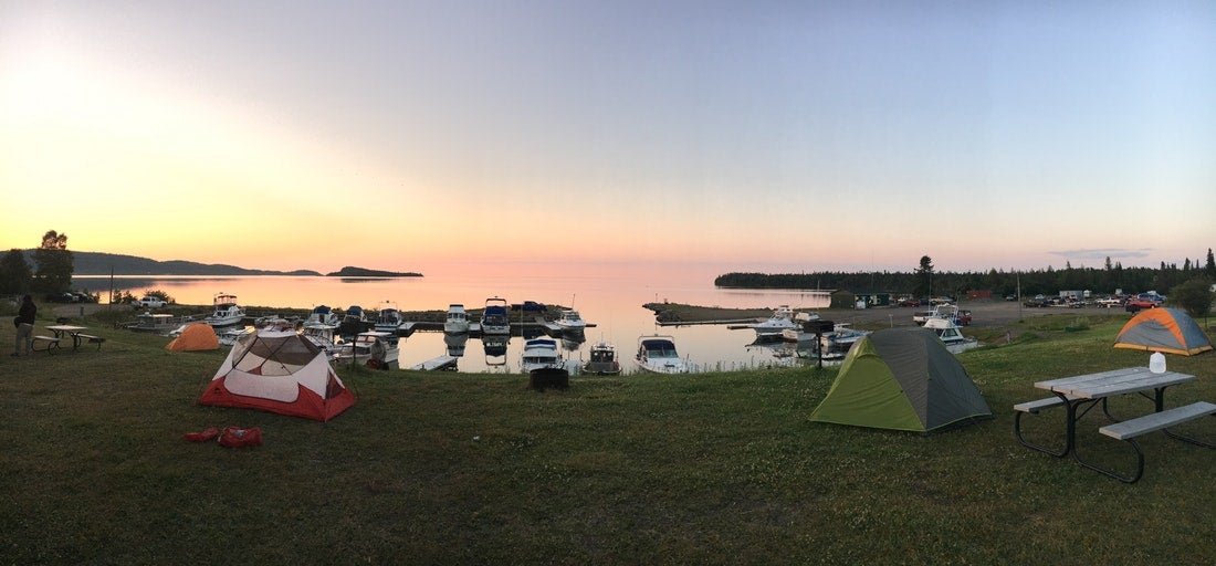
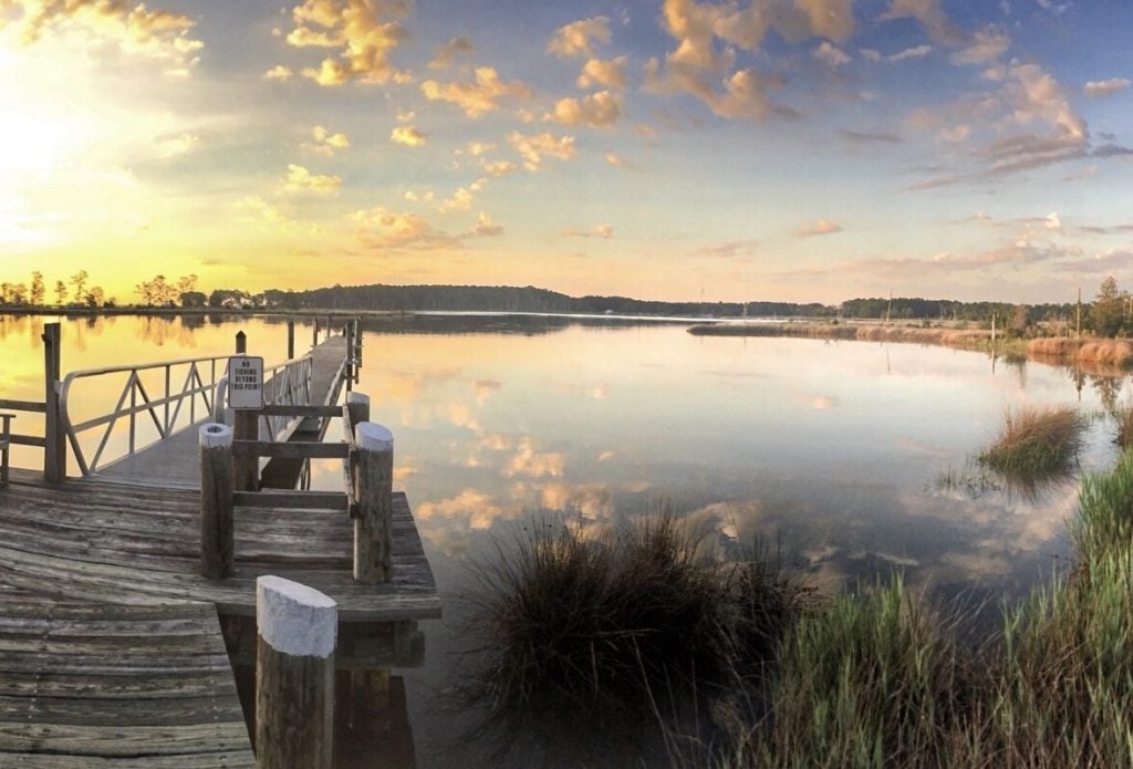
Image from The Dyrt Camper Matt S.
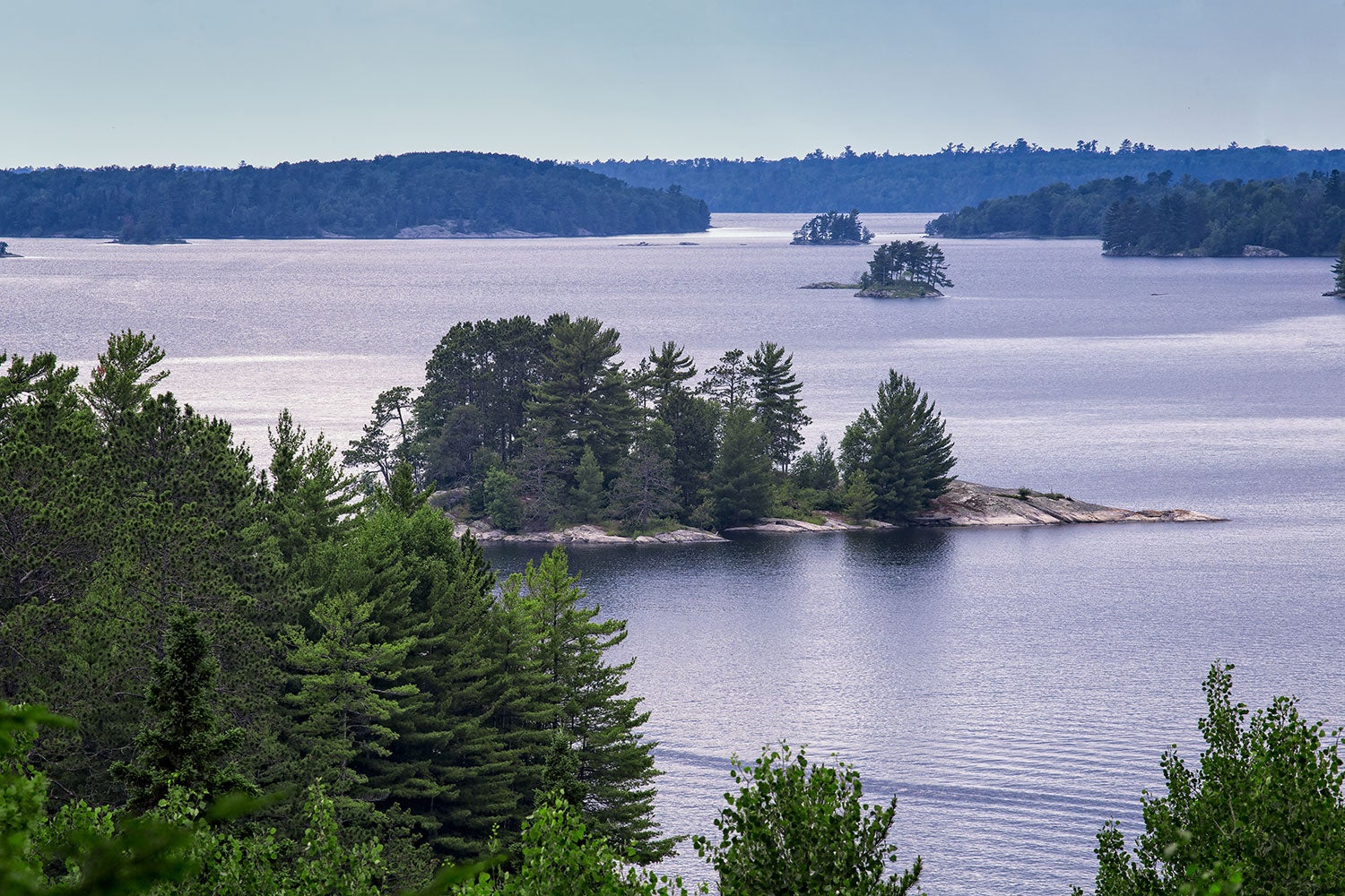
Minnesota’s tagline, “Land of 10,000 Lakes,” is actually selling itself short. According to the Minnesota Department of Natural Resources (DNR), there are 11,842 lakes within the state’s borders that have 10 or more more acres of surface area, for a total of 2.56 million acres. That’s more area than the states of Delaware and Rhode Island combined! All this water flows out of the state in three directions: north to Hudson Bay in Canada, east to the Atlantic Ocean, and south to the Gulf of Mexico.
This unique and dramatic landscape of lakes and rivers is the result of ice age glaciers that covered and sculpted the landscape. In more recent human times, these waters reveal a rich history of Native Americans, fur traders and early pioneers who called this land home. Today, each of the national parks in Minnesota, monuments and recreation areas give campers a variety of opportunities to discover and experience the heritage and landscape that makes the North Star State so special.
1. Grand Portage National Monument
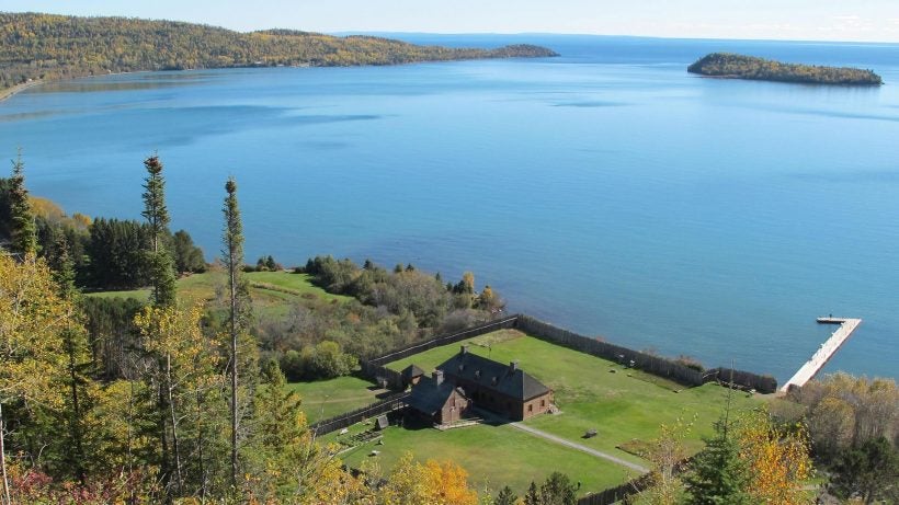
Photo from the US National Park Service
Grand Portage National Monument is a fee-free park located in the upper northeast corner of Minnesota, approximately 140 miles from Duluth. Overlooking Lake Superior, the monument honors the historical partnership between the Grand Portage Ojibwe and the North West Company. This occurred during the height of the North American fur trade. The park derives its name from the 8.5-mile portage trail—the “grand portage”—that connected the fur depots between Lake Superior and the Pigeon River.
What to Do
Start your visit at the Heritage Center, which was established through a partnership between NPS and the Grand Portage Band. The center overlooks the park’s reconstructed fur-trading post, and houses interpretive exhibits on Ojibwe culture, including murals, films, and more.
Next, visit the historic fur depot. You can see the reconstructed Stockade and Great Hall, an Ojibwe village, the old dock and gardens. Many of these feature interpretive exhibits that highlight life in the village.
If you want to stretch your legs, the best view in the park is from the Mount Rose Loop Trail. This 1-mile hike is a steady climb up the mountain on a dirt path with wooden stairs. It provides a stunning view of Grand Portage Bay’s brilliant blue waters.
If you have the time, you can even go for a walk on the Grand Portage itself. Hiking the entire trail is a 17-mile round trip, but you can hike shorter portions to the old highway or Fort Charlotte for 1.5-mile and 9-mile options, respectively.
If you’re at the park during the second week of August, you’re in for a treat. The Grand Portage Band of Lake Superior Chippewa sponsors an annual Grand Rendezvous Days and Powwow. The event includes music, dancing, craft demonstrations, and hands-on workshops.
If you can’t make it to the powwow, park rangers offer daily ranger walks and interpretive programs. These cover a range of monument-related topics, from building canoes to Native American gardening to historic bread baking.
Where to Camp
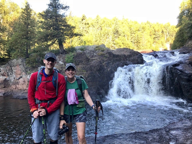
Image of Judge Magney State Park from The Dyrt camper Steph H.
There are several camping options available just outside of the monument, the closest being the Grand Portage Lodge & Casino. The campground has 29 RV sites with full hookups, as well as open spaces for tents.
This location offers many comfort amenities, a great view of Lake Superior, and close proximity to the ferry that departs for Isle Royale National Park. About 20 miles southwest of the monument, Judge C.R. Magney State Park offers 27 RV and tent sites.
Amenities here include drinking water, flush toilets and showers. Several miles of hiking trails within the park wander the banks of the Brulle River. Campsite rates range from $15–$45/night.
If you’re looking for more of a backcountry camping experience, you can wilderness camp within Grand Portage National Monument. The park offers two campsites accessible by hiking the rough and rocky portage trail to Fort Charlotte.
Campsites are equipped with tent pads, picnic tables, and fire rings. Hikers should pack out all waste material. A free backcountry permit is required, and advance reservations are strongly encouraged. Permit applications can take up to two weeks to process.
2. Mississippi National River and Recreation Area
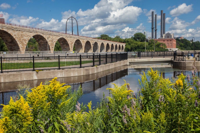
Photo from the US National Park Service
The Mississippi National River and Recreation Area (NRRA) creates an outdoor oasis right through the center of the sprawling Twin Cities urban environment. This 72-mile-long park highlights the human history and use of the mighty Mississippi. Is also serves to connect locals and visitors to the area’s natural beauty. With more than 60 sites of historical, natural, cultural and scenic interest, there is plenty to do and see.
What to Do
It’s a good idea to come to the Mississippi NRRA with a plan. A good place to start is the Mississippi River Visitor Center in downtown St. Paul.
This is a must-stop for interactive exhibits, recreational information, and getting acquainted with all the park’s regions and opportunities. Kids will enjoy earning their junior ranger badge here. Helpful rangers can direct you to areas of interest, either by foot, bike, auto, or boat.
Walkers and hikers will find numerous parks and trails for exploring the river’s natural areas. Shorter trails visit historical sites like Mill Ruins Park, the Stone Arch Bridge, and Minnehaha Falls. The longer, more rugged Winchell Trail and Pine Bend Bluffs hikes offer excellent views of the Mississippi River. By bike, visitors can explore the Coon Rapids Dam, Fort Snelling State Park, or ride a portion of the 3000-mile Mississippi River Trail.
Paddlers can use the Mississippi River Companion to plan canoe and kayak trips along the waterway. The section of river between the Crow River confluence and Coon Rapids Dam is especially scenic. Wildlife and birdwatchers have 10 nature areas to choose from, including Bruce Vento Nature Sanctuary, Schaar’s Bluff, and Hidden Falls Regional Park. There’s even more opportunities for fishing, geocaching and visiting museums and cultural locations.
Where to Camp
While there are no formal campgrounds within the recreation area, visitors can find primitive camping on some of the river’s islands. This is a perfect option for those on multi-day paddling trips.
If choosing this option, it’s a good idea to review the Superintendent’s Compendium for primitive camping regulations. Some areas are closed to camping in order to protect natural resources. Park rangers can answer any questions you may have.
For more traditional camping, there are two state parks within 50 miles of the Mississippi NRRA. William O’Brien State Park features 120 drive-in campsites, some with partial hookups, and four camper cabins. Afton State Park offers 28 primitive, hike-in campsites.
Alternatively, a few regional parks also offer camping options. Rice Creek Chain of Lakes Park , north of St. Paul, has 78 tent and RV sites, and Lake Elmo Park Reserve, east of St. Paul, has more than 100 drive-in and hike-in campsites. Campsite rates vary.
3. North Country National Scenic Trail
The North Country National Scenic Trail (NCT) spans seven states, from New York to North Dakota. Soon Vermont will be added, and once all 4600 miles are completed, the NCT will be the longest continuous hiking trail in the country. About 800 miles of the NCT runs through Minnesota, giving hikers the opportunity to explore settler ruins and Native American sites among an ancient glacial landscape now covered with lush mixed forests, lakes and wetlands.
What to Do
Only the heartiest and most skilled backcountry trekkers will take on the challenge of hiking the entire 800-mile stretch of the NCT through Minnesota. For everyone else, there are numerous day hiking and short backpacking trips that are less demanding. Visitors can access the trail by way of several national, state, and regional public lands. This way, you can pick and choose from several different trail segments and sights to see.
In the Tamarac National Wildlife Refuge, east of Fargo, scan for birds and other critters on an easy 0.9-mile hike through a black spruce and tamarack bog. For a little longer outing, take a 3.1-mile hike on the Kekekabic Trail to the Bingshick Lake Campsite, near the Boundary Waters Canoe Area Wilderness. The route passes historic mine ruins and several small lakes along the way. Start at the West Trailhead, located on County Road 12, west of Gunflint Lake.
Where to Camp
The NCT is ideal for backcountry camping. Most campsites along the trail are primitive, first-come, first-serve sites. Backpackers should obtain specific information about different portions of the trail from the responsible landowners or overseeing agencies. Two sections in Minnesota, the Kekekabic and Border Route trails in the Boundary Waters Canoe Area Wilderness, do require backcountry permits.
There are also a few developed campgrounds on regional, state, or national public lands for “basecamping” near the trail. In the Detroit Lakes area, the NCT runs right through Itasca State Park, giving easy access for day hiking.
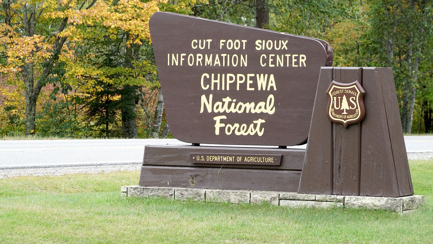
This family-friendly park has two campgrounds with more than 200 sites and plenty of amenities. West of Grand Rapids, Chippewa National Forest is another region with several campground options for accessing the NCT near Leech Lake. Campsite rates vary.
4. Pipestone National Monument
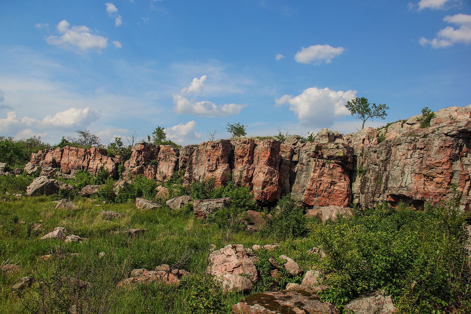
Pipestone National Monument, in the southwest corner of Minnesota, is an active quarrying site and sacred ground for several Native American tribes. For centuries, these tribes have come to this land to obtain the red pipestone found in the park, which they use to carve into prayer pipes. It is their belief that the smoke from the pipes carries their prayers up to the Great Spirit.
What to Do
Start at the monument’s Visitor Center. Here, you can tour the museum, and watch the award-winning documentary “Pipestone: An Unbroken Legacy.” You may also meet Native American crafters demonstrating the process of creating pipes and other objects out of the quarried pipestone. There are also ranger-led interpretive programs and guided walks available during the summer season.
Visitors can tour the Pipestone park grounds on the Circle Trail. This paved, 0.75-mile trail meanders through some of the park’s most interesting features, including the pipestone quarries, scenic Winnewissa Falls, and a native tallgrass prairie. The path path is not ADA-compliant, but is wheelchair accessible with some assistance. Pick up a trail guide in the Visitor Center before going to help you identify many of the historical markers along the way.
Where to Camp
Image from The Dyrt camper Lauren S.
Camping on the monument is not permitted, however there are three state parks in the vicinity that offer tent and RV sites. The nearest, Split Rock Creek State Park, is just 6-miles south of the monument.
This location has 34 drive-in campsites, many with electrical hookups. A little farther south, Blue Mounds State Park has 73 drive-in sites, 40 with electrical hookups, and 14-in walk-in tent sites. In the other direction, 35 miles northeast of Pipestone, Camden State Park has 80 drive-in sites, half with electrical hookups, as well as a horse camp with 12 sites. Seasonal campsite rates range from $15–$37/night.
For more of a resort-like camping experience, stay at the Pipestone RV Campground. Directly across from the monument entrance, this destination offers 60 drive-in campsites with full or partial hookups, as well as eight rustic tent sites.
The resort features a heated outdoor pool, playground, mini golf course, sports courts, a pavilion with kitchen, and free wifi. There’s also a fully stocked camp store with groceries, ice cream, supplies and sundries. There are also laundry facilities and dump and recycling stations available. Campsite rates range from $22–$42/night, with discounts available.
5. St. Croix National Scenic Riverway
The St. Croix National Scenic Riverway, formed by the Namekagon and St. Croix rivers, creates much of Minnesota’s eastern border with Wisconsin. Together, they flow through some of the least-developed, and most scenic, country in the upper Midwest.
The federal government designated the St. Croix as a National Wild and Scenic River in 1968. It was one of only eight rivers at the time to receive this protection. The scenic section begins at St. Croix State Park and runs to its confluence with the Mississippi River in Hastings.
What to Do
With 225 miles of riverway to explore, there are many points of interest worth visiting. One of these is the St. Croix Dalles Gorge.
Formed where the river flows through a deep gorge of volcanic basalt, this historic site was used for steamboat building and logging. It also showcases some of the world’s deepest glacial potholes. Visitors can view this stretch up close on a Taylor Falls Scenic Boat Tour. Daily tours takes riders past the Old Man of the Dalles, one of the area’s most impressive rock formations.
The river has arguably some of the best canoeing and kayaking in the region, and offers a unique perspective on its beauty. There are stretches of river good for both novice and experienced paddlers, with both short day trips and multiday excursions available.
For a nice, leisurely float, newer paddlers can travel through the Dalles Gorge, from Interstate Park to Osceola Landing. Experienced paddlers can go for some Class I & II whitewater near the Kettle River confluence, from Nelsons Landing to Soderbeck Landing. Before hitting the water, be sure to pack all the right gear, and check for the latest conditions and fees.
If staying on dry land is more your thing, there are numerous hiking trails for exploring the riverway, as well as birdwatching and fishing opportunities. Take a strenuous hike on St. Croix segment of the Ice Age National Scenic Trail. Start at the western terminus of the trail in St. Croix Falls and go as far as you like.
Wildlife lovers should head for Crex Meadows Wildlife Area in Wisconsin, near Grantsburg. The preserve is home to more than 280 varieties of birds and nearly 100 varieties of butterflies. There are also numerous large and small mammals, including river otters, beavers, red foxes and black bears.
Where to Camp
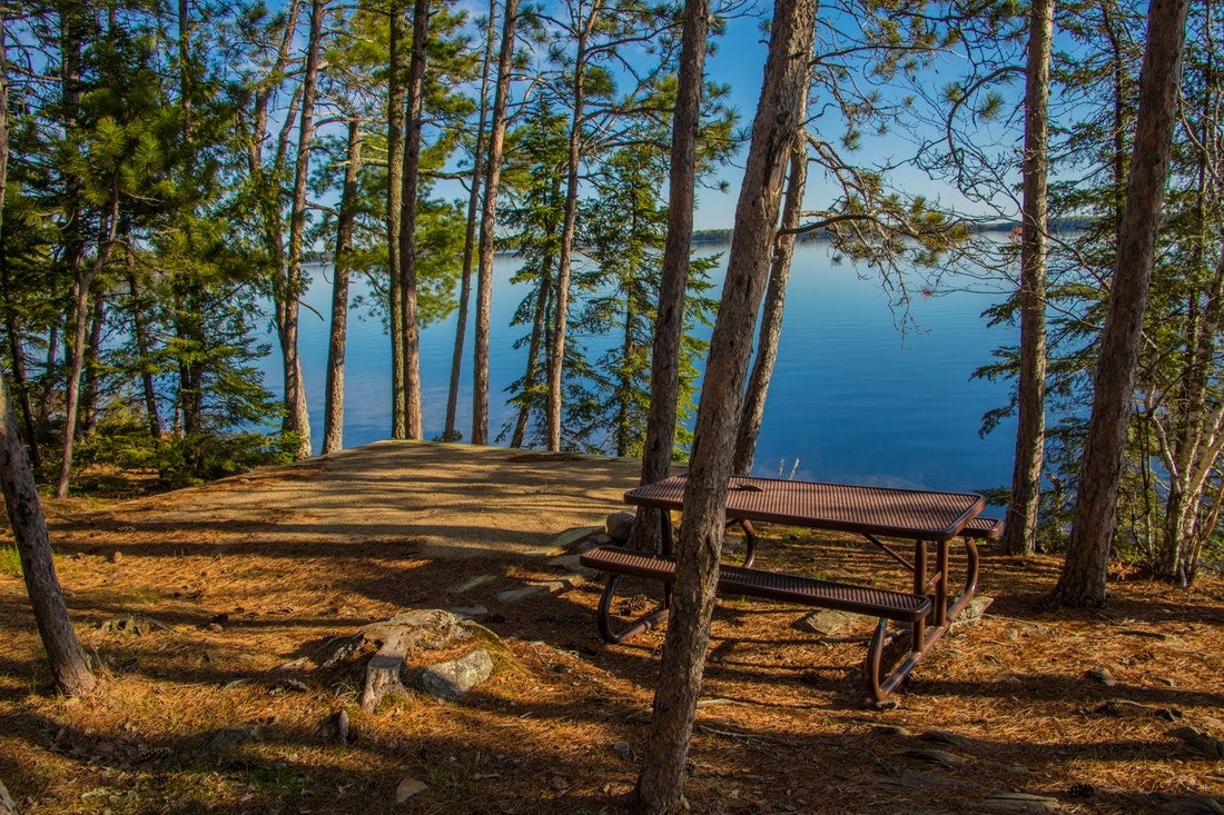
Image from The Dyrt camper Shari G.
For paddlers on multiday trips down the riverway, the best camping can be found at the many primitive campsites along the shores of the St. Croix and Namekagon rivers. Many of these are only accessible from the water, which is perfect for campers seeking a little more solitude. The rivers are divided into three camping zones and each has their own management policies. Review the park’s river camping regions and regulations before heading out.
While not one of the NAtional PArks in Minnesota, this riverway is home to a few state and regional parks to accommodate campers not arriving by boat. Wild River State Park, 12 miles northwest of Taylors Falls, offers 94 drive-in campsites. There are also a few hike-in and boat-in sites, as well as group and horse camps, and camping cabins.
Another option is Saint Croix State Park, 16 miles east of Hinckley, and 35 miles north of Crex Meadows. This large park has more than 200 tent and RV sites in three campgrounds, as well as group sites, a horse camp and camping cabins. Both of these locations offer limited hookups, and have flush restrooms, showers and dump stations. Campsite rates range from $15–$23/night, plus entry fee.
6. Voyageurs National Park
Voyageurs National Park in Minnesota is the state’s only officially-designated national park. Located on the Canadian border, approximately 270 miles north of Minneapolis, the park covers an area of nearly 200,000 acres—with more than 40% of that being water.
The majority of the park’s interior—accessible only by watercraft—is surrounded by four large lakes. These lakes are speckled with approximately 500 islands, which, altogether, create more than 650 miles of shoreline. The park was named after the French Canadian voyageurs (travelers), who paddled the area in the 17th and 18th centuries trapping beavers, otters, and minks for the fur trade.
What to Do
While you can only access the wild interior and myriad islands of Voyageurs National Park by boat, there is still plenty to do and see for landlocked visitors. Three visitor centers—Rainy Lake, Kabetogama Lake and Ash River—are located along the park’s southern fringes. These offer interpretive programs and exhibits, boat tours to Kettle Falls and Ellsworth Rock Gardens, and guided canoe trips. There are also several trails, from short nature walks to longer hiking trails, for wildlife watching and exploring the park’s boreal forests and lake country.
Voyageurs National Park is also known for its spectacular night skies. From its many wide-open spaces, stargazers will have a good chance of seeing shooting stars, especially if visiting during the August Perseids. If conditions are right, there are also opportunities to view the aurora borealis, also known as the northern lights. These colorful, swirling bands of light create a striking nighttime display, and are usually only seen in higher latitudes.
And not just a summer destination, Voyageurs is a great place for winter travelers. Once the many lakes freeze over, there are numerous opportunities for snowshoeing skiing, sledding, skating and snowmobiling—many of these in areas that you might normally need a boat to access. Visit the park’s winter activities page for more information to help you prepare for a snowy season visit.
Where to Camp
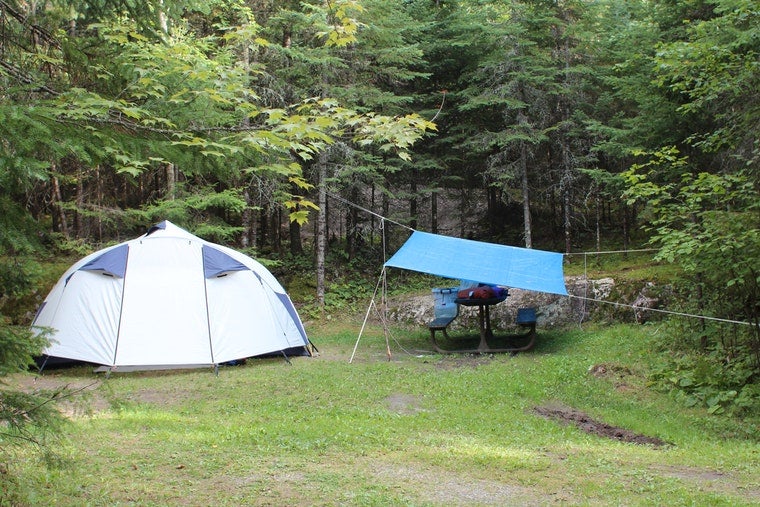
Image of Woodenfrog – Kabetogama State Forest from The Dyrt camper Jen E.
Voyageurs, one of the few National Parks in Minnesota, is known as Minnesota’s premier destination for houseboating. This can be a fun way to “camp” in the national park. This is because all 270 of the park’s campsites and day-use areas are only accessible by boat.
Snagging one of these sites is a steal, costing just $10/night—but you need to make reservations well in advance. If you don’t have your own boat, that’s no problem. There are several businesses located just outside of the park that rent fishing boats, pontoon boats and houseboats, as well as canoes, kayaks and stand-up paddle boards.
Even without a boat, auto and RV campers can still find a place to stay near the park. Woodenfrog State Forest Campground, on Kabetogama Lake, offers 63 primitive, first-come, first-serve campsites for $14/night. Sites are equipped with picnic tables and fire pits, and the campground has drinking water, vault toilets, a swimming beach, and a boat ramp.
Near Crane Lake, Headquarters RV Park offers 13 full-service sites in a wooded, parklike setting for $40–$45/night. Sites are equipped with picnic tables and fire pits, and the park has a dump station.
Now that you know what to do and where to camp at national parks in Minnesota, monuments and recreation areas, you just need to figure out how much time you’ll need to do it all!
Related Campgrounds:
- Campers’ Paradise, Nevis, MN
- Sawmill Campground, North Mankato, MN
- Grand Marais camping, Grand Marais, MN
- Whitewater Campground, Altura, MN
- Lake Pepin Campground, Lake City, MN
- Cannon Falls Campground, Cannon Falls, MN
- Trails End Campground, BWCA, MN
- Oak Lake Campground, Kerrick, MN
- Baker Lake Campground, Duluth, MN
- Afton State Park, Washington County, MN
- French Creek State Park, Elverson, PA
- Itasca State Park, Park Rapids, MN
Popular Articles:
Articles on The Dyrt Magazine may contain links to affiliate websites. The Dyrt receives an affiliate commission for any purchases made by using such links at no additional cost to you the consumer.