This article about the Grand Staircase Escalante National Monument is brought to you by Banner and Oak. Banner and Oak makes high quality hats to endure any outdoor adventure. Check out their snapback trucker hats.
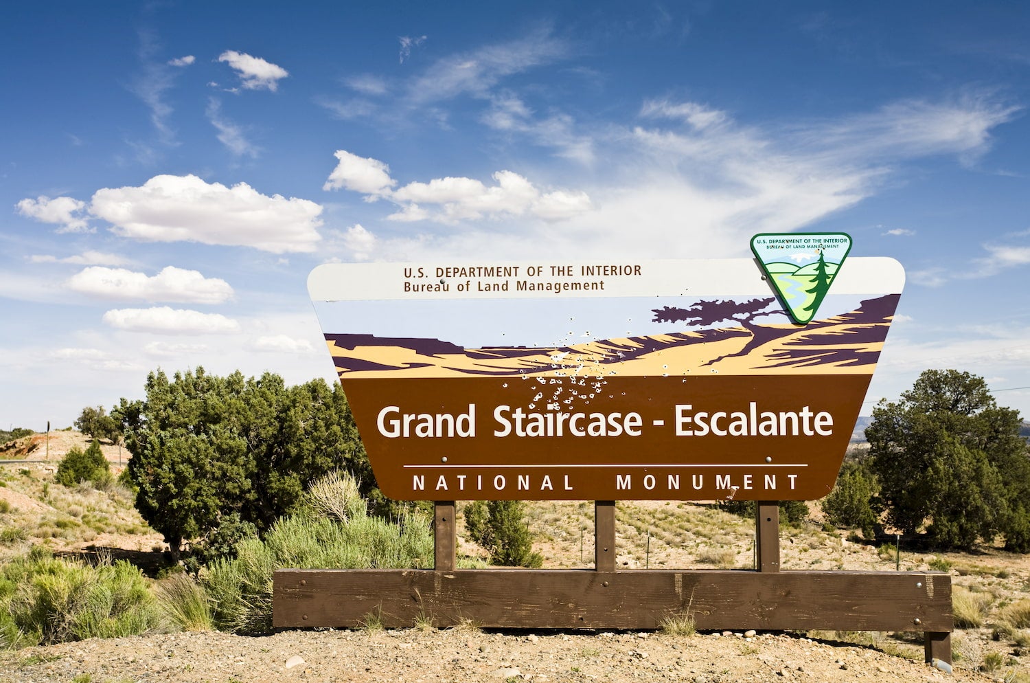
The Grand Staircase Escalante National Monument was established in 1996. It was the last place in the continental United States to be mapped.
The geographical features of the land are ancient and rich with mementos of the past. Since the year 2000, many dinosaur fossils have been unearthed, many of which are around 75 million years old. Some areas of the monument are believed to be at least 200 million years old.
In 2017, President Donald Trump signed an executive order that shrunk the monument and divided it into 3 main zones. It now consists of about 1 million acres of land as opposed to about 2 million before 2017.
The Dyrt’s Guide to Grand Staircase Escalante National Monument
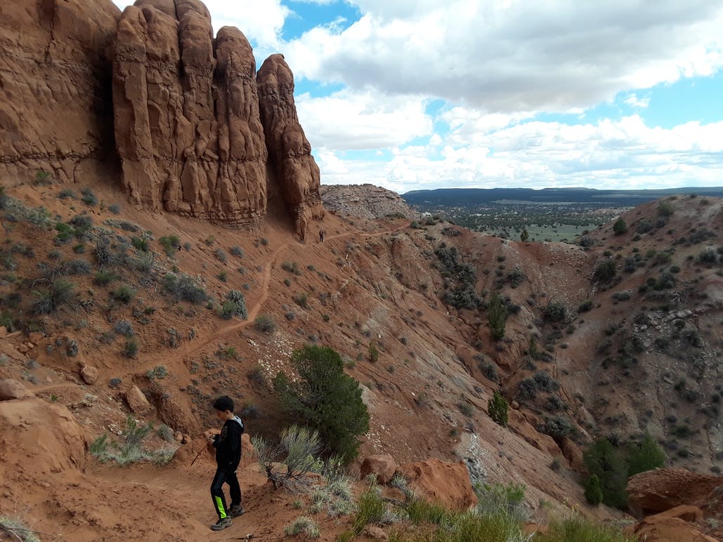
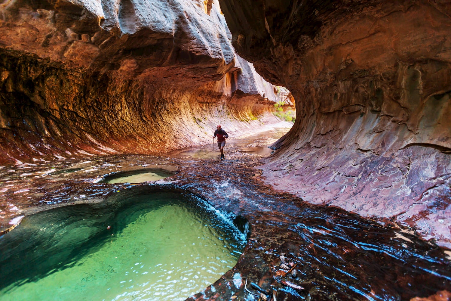
The 3 distinct zones are the Grand Staircase, Kaiparowits, and Escalante Canyon. The Grand Staircase is known for its very extensive network of slot canyons. The Kaiparowitz Plateau features sedimentary rock formations and a fossil-record spanning back at least 30 million years. Escalante Canyon is the popular northern region of the monument which includes Calf Creek Falls and some popular slot canyon hiking. Overall, this guide will highlight points of interest that fall into all areas of the monument.
The Grand Staircase Escalante is located north of Flagstaff along the 89, east of St. George, and South of Salt Lake City. The winters are chilly (sometimes freezing) and summers can be overwhelmingly hot. We suggest visiting during the spring or fall when the weather is milder.
What To See At The Grand Staircase Escalante National Monument
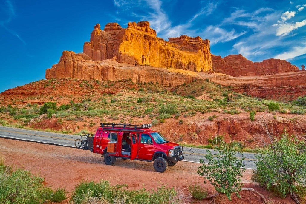
Southern Utah is known for its slot canyons, state parks and national parks, and otherworldly desert scenery. Although Escalante’s acreage was recently reduced by nearly half, it still contains seemingly endless opportunities to experience the outdoors of the American Southwest.
Kodachrome Basin State Park
Located in the Grand Staircase region, people visit Kodachrome Basin State Park to see the monolithic stone spires, red rock formations, and vast blue skies. The place was named “Kodachrome” after a brand of film due to its photogenic scenery and bright colors.
The park offers plenty of hiking, guided horseback riding tours, mountain biking, and of course, plenty of photo opportunities.
Make sure to check out one of the highlights near the park: The Grosvenor Arch located 10 miles southeast of the park. It’s a double arch and one of the more impressive arches in the area.
The Scenery Along Cottonwood Canyon Road
You don’t even need to leave your car to revel in the spectacular scenery of the Grand Staircase. Traveling along Cottonwood Road, travelers see the badlands, oases, and the beautiful arches of the Staircase. Check out Cottonwood Canyon in fall when the trees are bright with rich fall color.
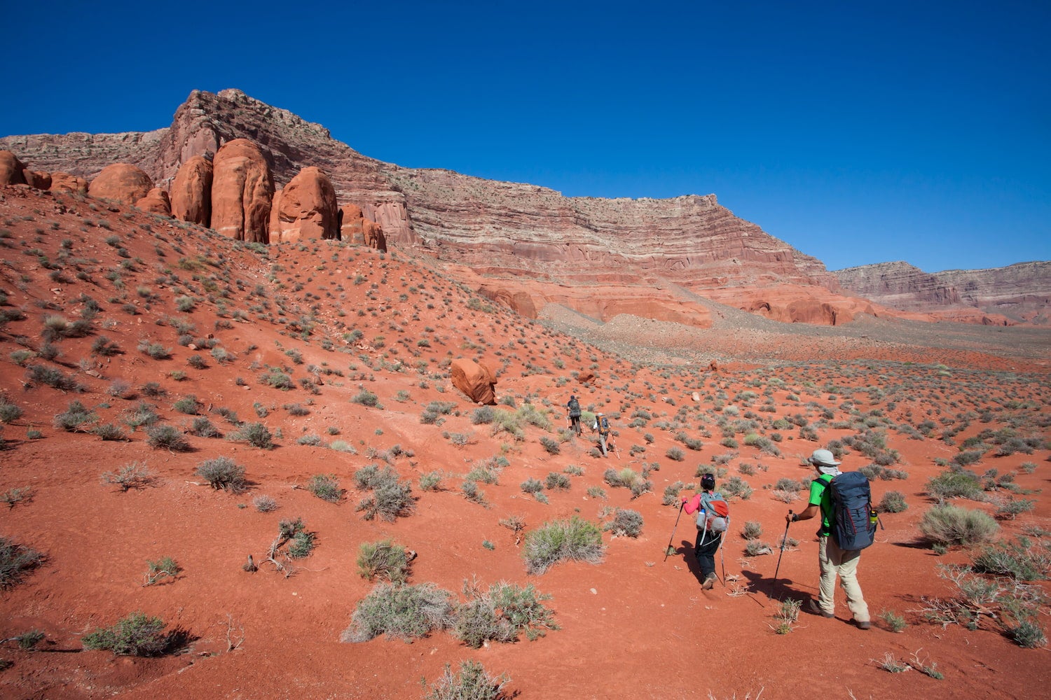
The Hayduke Trail
The Hayduke Trail is a challenging backcountry trail that passes through 800 miles of breathtaking, rugged backcountry of Utah and Arizona. The trail passes through Arches National Park, Capitol Reef National Park, Canyonlands National Park, Grand Canyon National Park, Zion National Park, and the Grand Staircase Escalante National Monument—including the Kaiparowitz Plateau. The trail was not made to be easy, but rather to showcase the splendor of the American Southwest.
The Hayduke Trail is worth checking out for visitors in this area of the monument. If you don’t plan to do the whole thing, try a day hike or multi-day backpacking trip in the Kaiparowits wilderness.
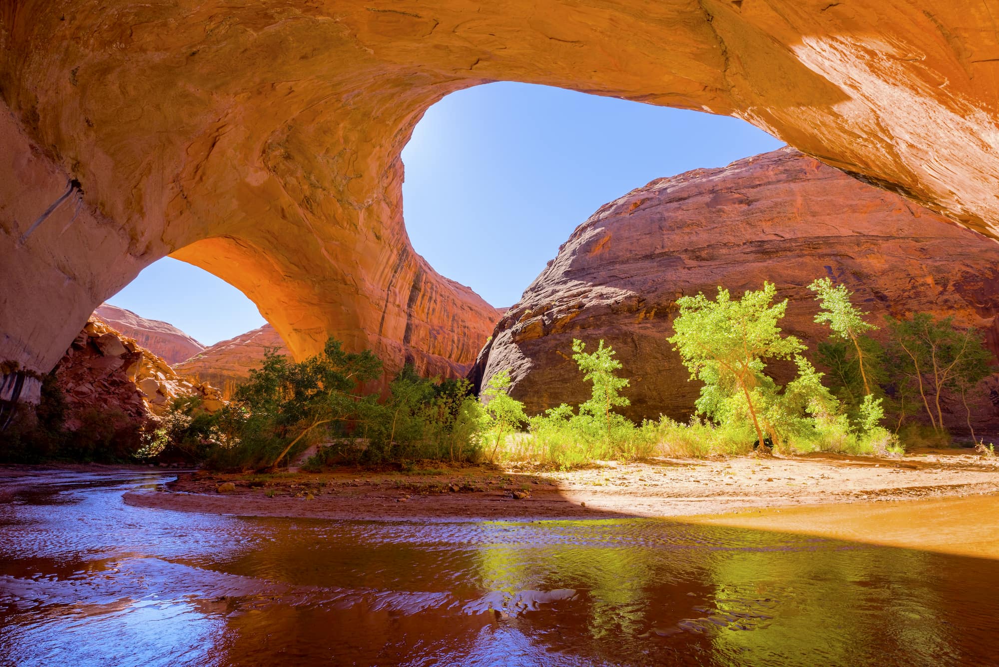
Glen Canyon
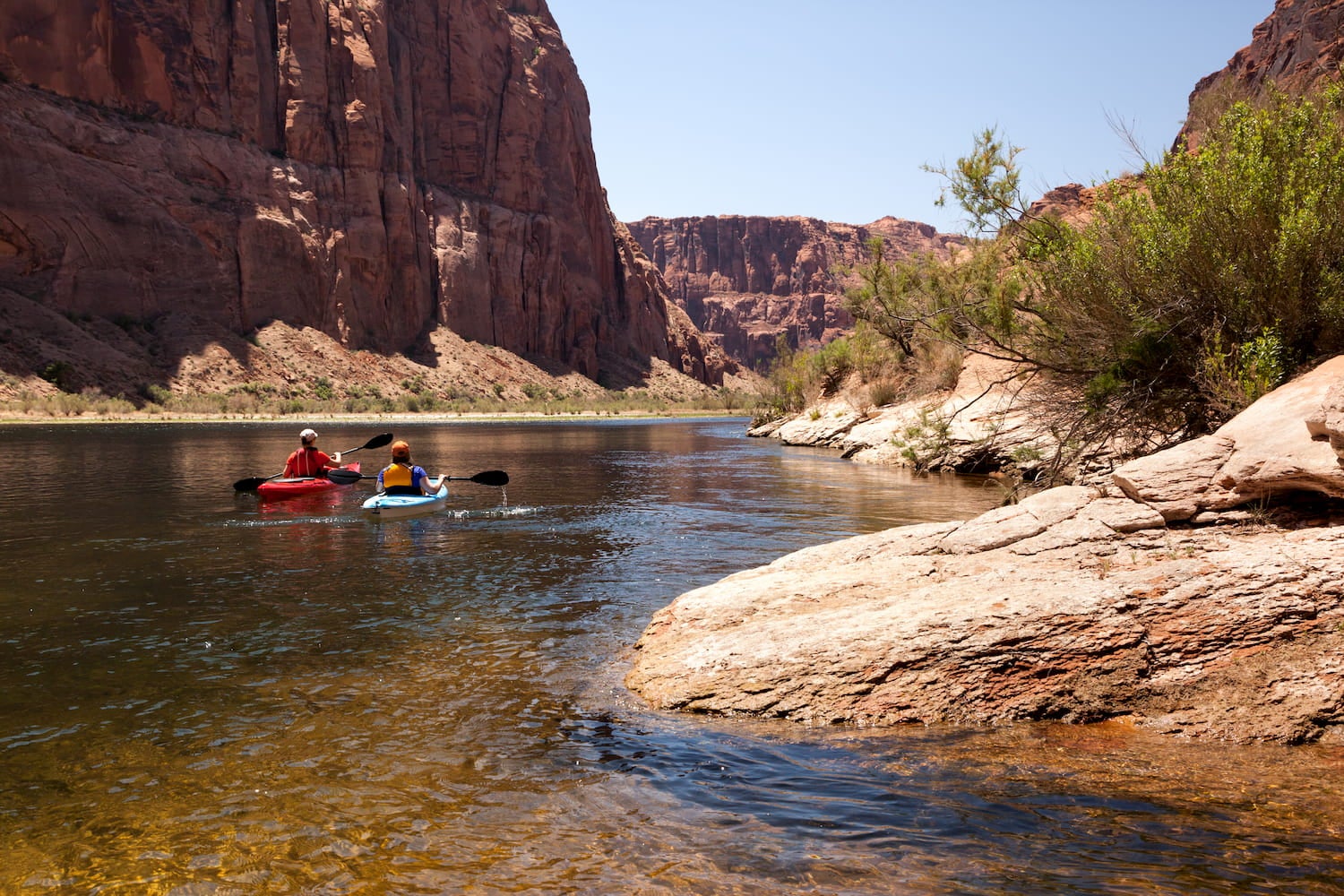
Nearby is the Glen Canyon National Recreation Area, a conservation unit of the National Park Service which, according to the NPS, “protects scenic, scientific, natural, and cultural resources on Lake Powell, the Colorado River, its tributaries, and natural lands.”
Here, visitors can see the Rainbow Bridge (one of the world’s largest natural bridges) as well as vast and rugged landscapes with 10,000 years of human history.
Escalante Petrified Forest State Park
The Escalante Petrified Forest State Park is located just north of the town of Escalante. The main attraction is the Petrified Forest Trail, a 1-mile loop that brings hikers to the mesa where most of the fossilized wood is located. Visitors also enjoy fishing for trout and blue-gill in the Hollow Reservoir.
Where To Camp In And Around The Grand Staircase Escalante National Monument
Lone Rock Beach
Lone Rock Beach is a glorious place to camp with easy access to Lake Powell. Located in Wahweap Bay, the “lone rock” itself is a massive monolith that demands attention. Campers enjoy swimming in the warm, blue waters, camping directly on the water, kayaking, and horseback riding. Lone Rock Beach represents some of the best views of Lake Powell.
The primitive camping area offers tent camping, RV camping, group camping, and even yurts. Fires and dogs are both allowed.
“Ultimately beautiful. Sandy Beach dry camping at its best. Great price and Beautiful views. Can’t get much closer to the water. National Park pass works here. Fifteen minutes from lake Powell park.” — the Dyrt Camper Dave E.
Hole In The Rock Road Primitive Camping
Image form the Dyrt camper Sarah L.
This is where people go for some slot canyon action. Slot canyons are an utterly unique way to experience nature. They can be intimidating, but guarantee a wild adventure. Hole in the Rock Road brings hikers to the Peek-a-boo slot canyon and to the Spooky slot canyon.
The road to get to Hole in the Rock Road Campground is long. Travelers should bring plenty of water and food for the journey. The dispersed grounds provide tent camping for free. Pets are allowed and drinking water is not provided.
“I actually camped primitively on a turn off a few miles before reaching Hole in the Rock. I can’t believe there aren’t any reviews because if you want to truly experience the outdoors and seclusion, look no further. There are countless options for one to set up camp and if you’d like, you can get out to where you won’t see another soul except for free-range cattle.” — The Dyrt camper Will M.
Harris Wash Primitive Camping
Also along Hole in the Rock Road, Harris Wash is a long drive in but provides easy access to promising hikes, including some beloved slot canyons.
Beware that this is also a primitive camping site. There is no water provided and campers must bring their tents or sleep in the car (or under the stars if it’s warm).
“The view was gorgeous and could hear a few coyotes howl at night. There are also cows nearby, so we heard a BUNCH of mooing in the morning. You are far from town so make sure you bring enough water and supplies! Zebra Canyon is very close to this road.” — The Dyrt camper Mackenzie B.
The National Parks Nearby
One simply cannot enter the monument without paying heed to the famous national parks nearby. These are worth checking out for hiking, camping, and gaining an even deeper sense of the beauty of the American Southwest.
- Zion National Park is a park with massive sandstone cliffs and a couple of famous hikes called The Narrows and Angel’s Landing. It is located west of the monument.
- Bryce Canyon National Park is the top of the Grand Staircase. Visitors here are primarily interested in seeing hoodoos, the tall thin spires of rock that the park is renowned for.
- Capitol Reef National Park is located in south-central Utah and on a geologic monocline called the Waterpocket Fold. There, hikers visit cliffs, canyons, domes, and natural bridges.
- Canyonlands National Park is split by the Colorado and Green River. It’s located northeast of the monument near the Colorado border. Go to this park to see primitive desert atmospheres and the four districts, namely, Island in the Sky, The Needles, The Maze, and the rivers.
This article is brought to you by Banner and Oak.

Popular Articles:
Articles on The Dyrt Magazine may contain links to affiliate websites. The Dyrt receives an affiliate commission for any purchases made by using such links at no additional cost to you the consumer.