This article about hiking trails near Las Vegas is brought to you by GCI Outdoor. Their awesome outdoor rocking chair may just be the most comfortable camping chair out there — and it’s priced right to fit any budget.
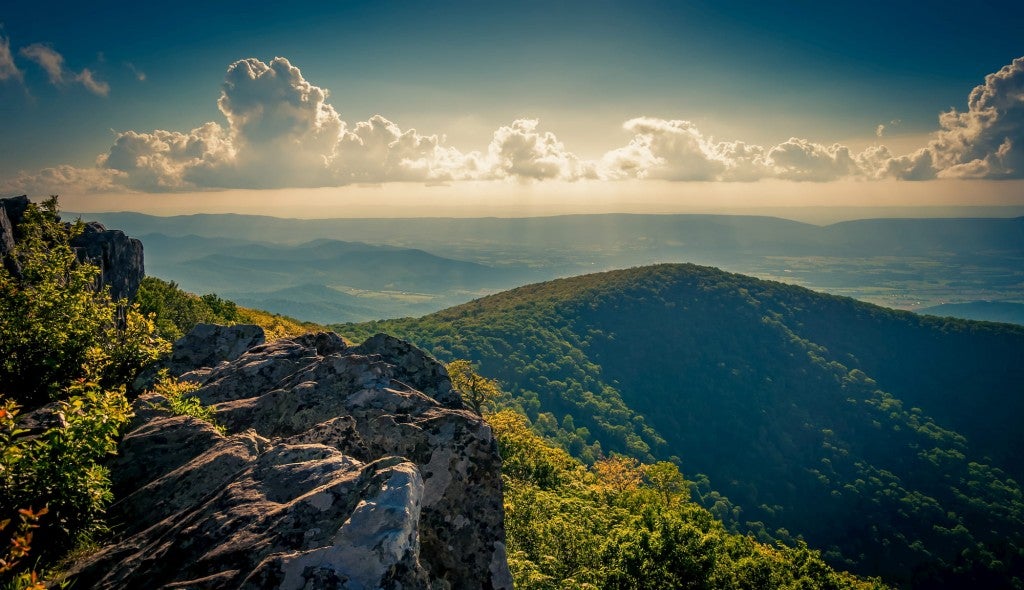
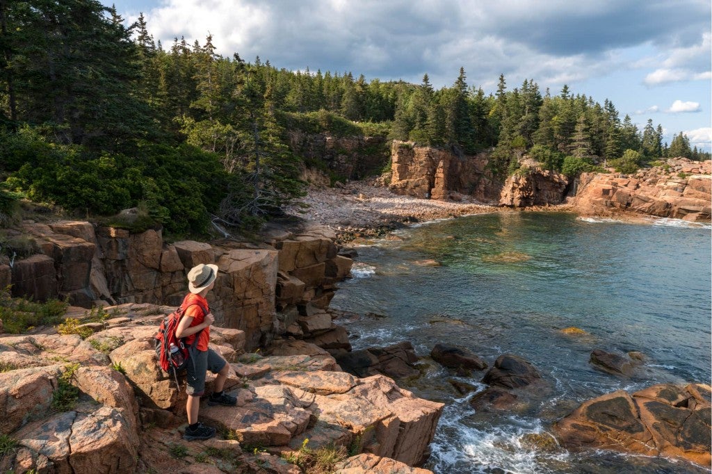
Las Vegas is a paradise to some, but for others, it’s a place to escape from. Those living in Vegas enjoy some local outdoor time to get a break from the endless energy and excitement that the city exudes. And for those just visiting the city, escaping out to nature may feel like a needed excursion, even after a single night on the strip. This article will cover a handful of our favorite Las Vegas hiking trails. Some of the trails are very near the city center, while others will require traveling to the outskirts of the city and beyond.
Remember that Las Vegas is located in a desert environment subject to intense heat during the summer months. Always be aware of the weather and come prepared with more than enough water on the trail. These desert areas are also subject to monsoons in the summer months, making flash-flooding a possibility. To play it safe, check for weather warnings before proceeding on any of these adventures.
Clark County Wetlands Nature Preserve Trail
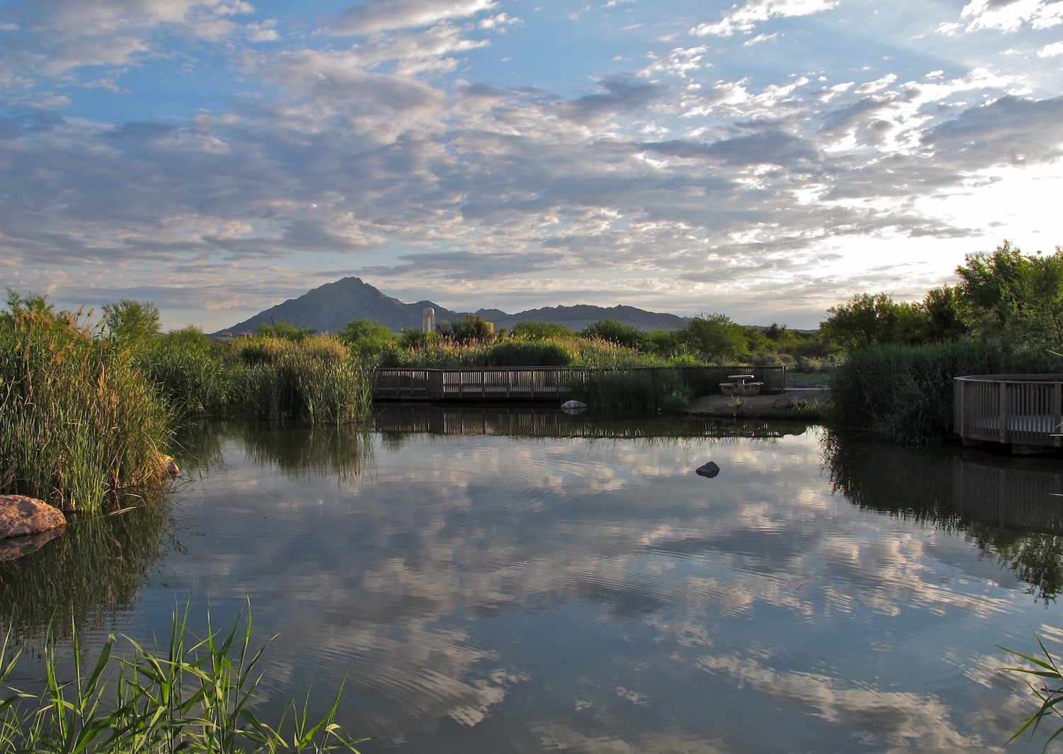
The Clark County Wetlands are a nature preserve that protects 210 acres of land, including hundreds of species of animals and many ponds. A favorite hike in the preserve is the Wetlands Loop Trail, a 14-mile multi-use trail for hikers, joggers, and cyclists. The trail is fully paved and connects with other trails, including the even longer River Mountains Loop Trail. Note that the final few miles of the trail are unpaved and may not be suitable for some bikes.
This is one of those Las Vegas hiking trails that makes for a good getaway from the noise of city life. The wetlands are located close by on the east side of town, near the west end of the Lake Meade National Recreation Area. This place contains multiple connecting trails including the Duck Creek Trail, the Dragonfly Divide, and the Coyote Howl Trail.
To get there, take the I-151 South from downtown Las Vegas and exit on Tropicana Ave, which takes hikers all the way to the wetlands. The drive is about 10 miles from the heart of the city.
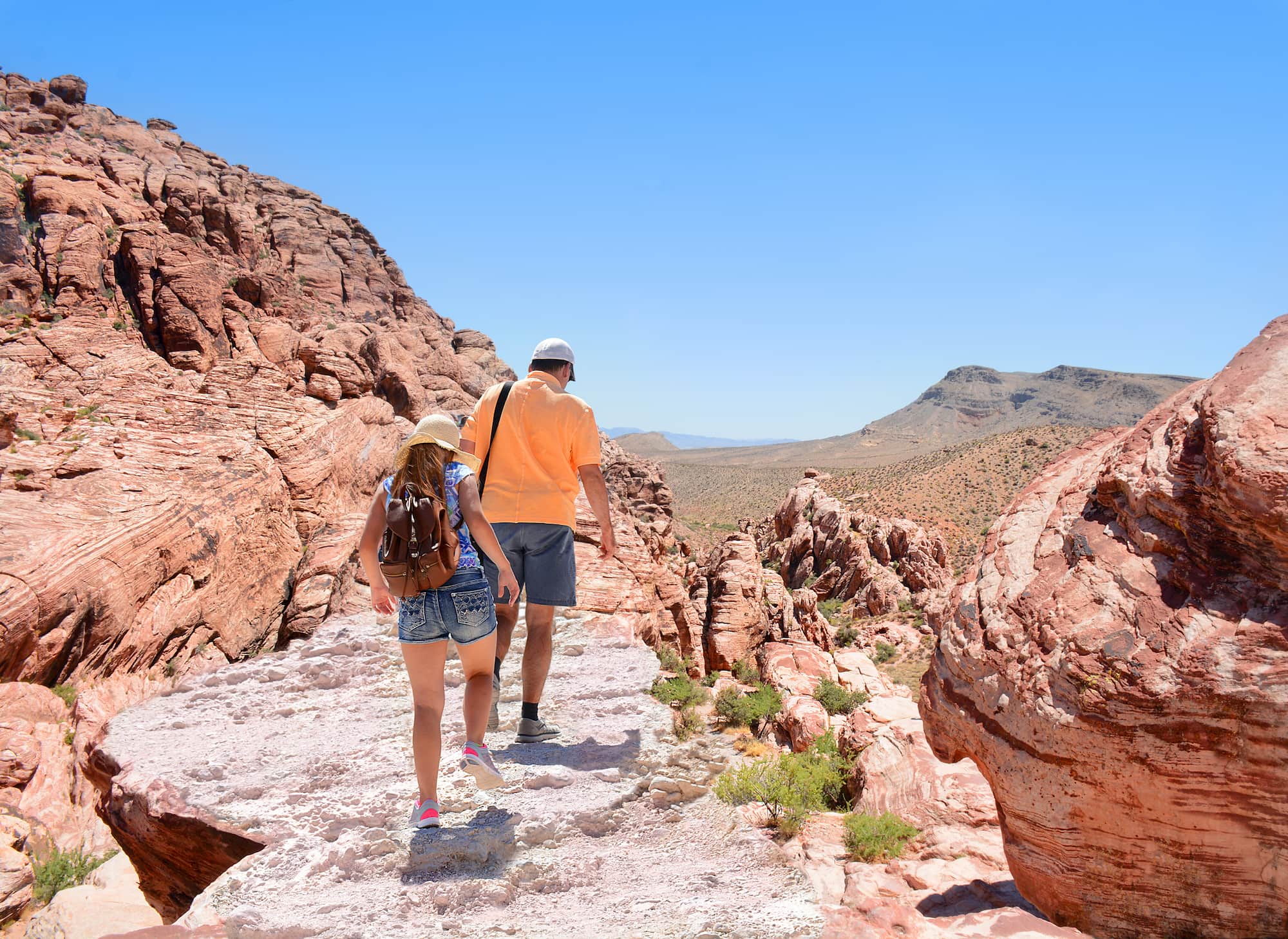
Calico Tanks Trail
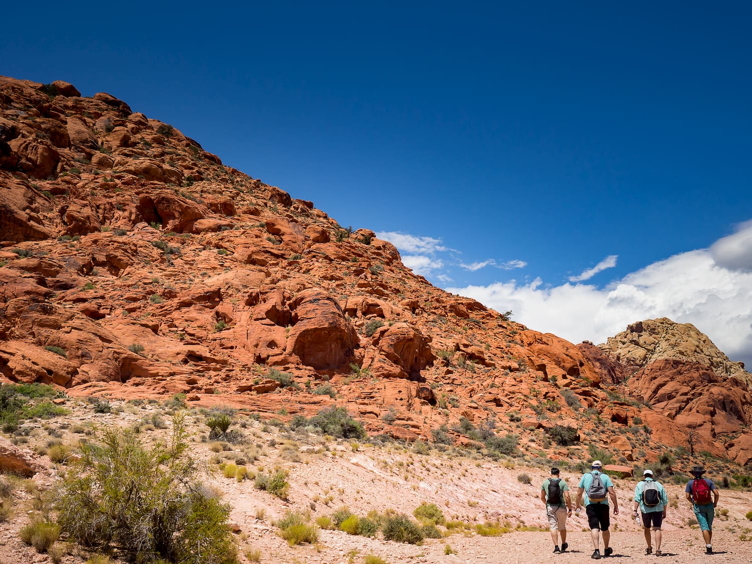
The Calico Tanks Trail is a popular out-and-back trail located in the Red Rock Canyon National Conservation Area. The trail covers a total of 2.2 miles round trip, gains 442 feet in elevation, and is considered moderate in difficulty. Hikers usually visit this trail to see beautiful wildflowers and other shrubbery, great views of the Las Vegas Valley, and for the rock scrambling along the trail.
Getting to the trail is easy from downtown Las Vegas and only takes around 45 minutes. Take the 159 West until it turns into Blue Diamond Road. Soon after, make a right onto Scenic Loop Drive (still the 159). This eventually brings visitors to a parking area called Sandstone Quarry Overlook. From here, walk the Sandstone Quarry Trail 1.2 miles until reaching the Calico Tanks Trail.
After the hike, you may want to consider spending the night in a nearby campground, rather than driving back down to the city. On the drive back down Blue Diamond Road, a right turn on Moenkopi Road takes campers to the Red Rock Campground. This is a beautiful, spacious campground with plenty of tent camping, RV camping, and some unforgettable desert landscape!
Arizona Hot Springs Trail
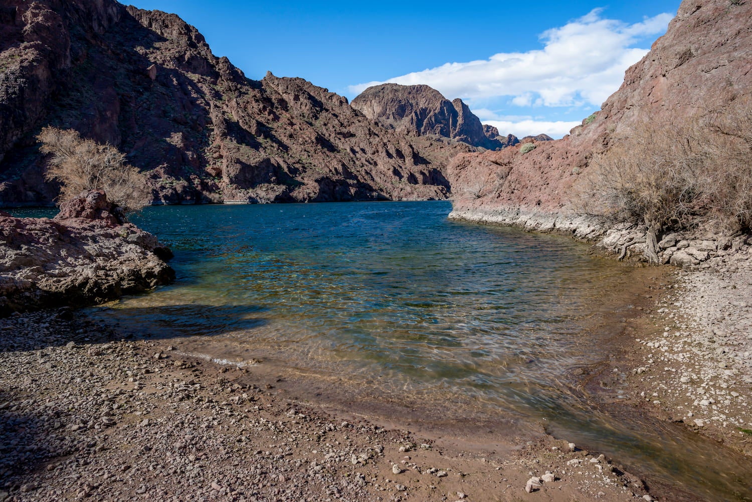
Located in the Lake Mead National Recreation Area, Arizona Hot Springs is highly sought after for its hot springs, of course. However, many visitors are also drawn here for great fishing in the Colorado River and to enjoy the serenity of the desert environment. On the hike, it’s possible to see a 20-foot waterfall, cascades, and impressive canyons.
It’s also possible to swim in the hot springs, but the National Park Service warns against the “rare and lethal amoeba called Naegleria fowleri”. They advise visitors to keep their heads above water since this pathogen can only enter the body through the nose. Also, note that the trail is often closed in the summer months due to extreme heat. This is not an easy hike. It covers a total of 6 miles with over 1,000 feet of elevation gain.
To get there from Las Vegas, drive 40 minutes on the I-151 South and I-11 South until reaching the 93. Finally, pass the Hoover Dam, cross over into Arizona, and then reach the parking lot (on the left).
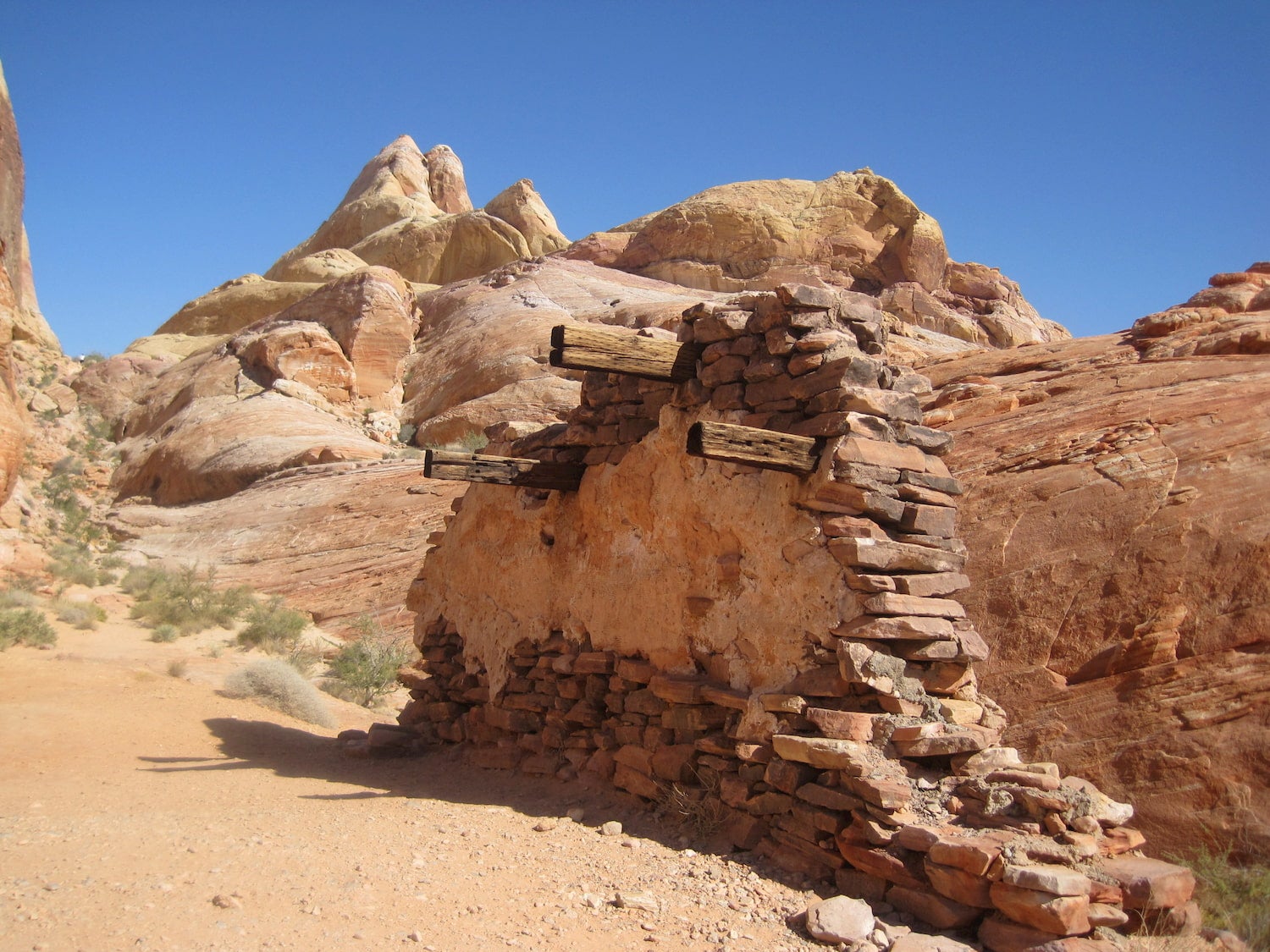
Prospect Trail
The Prospect Trail is a favorite for visitors to the Valley of Fire State Park. This is an 8.8-mile round-trip hike that contains 800 total feet of elevation gain. The trail features narrow slot canyons, wildflowers (in the right season), stunning white domes, and colorful, red rocks. The trail is also nearby some notable Valley of Fire camping. The campground, Atlatl Rock Campground, contains RV and tent sites along with drinking water. Campers at The Dyrt describe the grounds themselves as charming and as being among beautiful rock formations.
To get to the state park from downtown Las Vegas, take the I-15 North until reaching the Valley of Fire Highway. This highway takes hikers all the way into the park.
White Domes Trail
This is a fairly short hike compared to the other Las Vegas hiking trails. For visitors to Valley of Fire who don’t want to take on something as lengthy as the Prospect Trail, try out the White Domes Trail, a hiking loop with colorful rocks and caves. The loop is only a mile walk with 150 feet of elevation gain. It provides the perfect opportunity to see some of the highly sought after geological features in the park.
Cleopatra Wash Trail
Hikers should be fairly experienced to take on this 16.6-mile hike (and with over 2,000 feet of elevation gain!) near Lake Mead. This hike requires an overnight stay in the wilderness, a perfect opportunity to take advantage of some free camping near Las Vegas.
On the trail, hikers can expect rope sections, lake views, and secluded desert backcountry. To get there, take the 147 out of Las Vegas until reaching the 167 in the Lake Mead National Recreation Area. Eventually, reach Boathouse Cove Road and begin hiking once the road becomes too narrow to drive.
The Dyrt is the only camping app with all of the public and private campgrounds, RV parks, and free camping locations in the United States. Download now for iOS and Android.Popular Articles:
Articles on The Dyrt Magazine may contain links to affiliate websites. The Dyrt receives an affiliate commission for any purchases made by using such links at no additional cost to you the consumer.