This article about Independence Pass in Colorado is brought to you by Banner and Oak. Banner and Oak makes hiking trucker hats that are stylish and perfect for days on the trail.
Colorado’s Independence Pass is a Scenic and Historic Byway that passes over the Continental Divide between Aspen and Leadville. The pass itself is situated at 12,095 feet in the Sawatch Range and a scenic overlook at the summit provides excellent views east of Mount Elbert, Colorado’s highest peak and provides great access for hiking, biking, backcountry skiing, sightseeing, and more. You’ll even run into some Colorado ghost towns along the way.
Driving Independence Pass
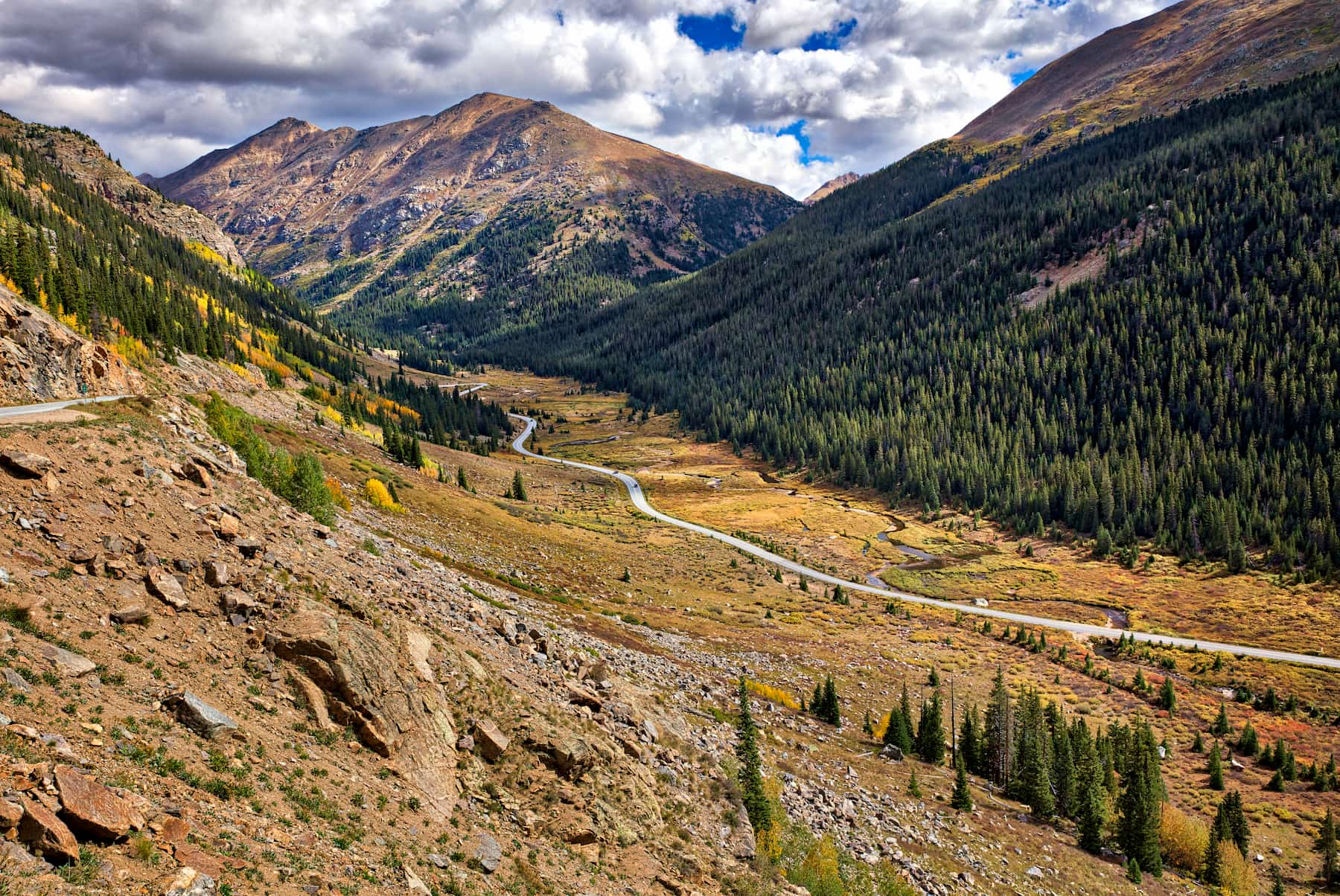
Independence Pass is one of the highest paved roads in Colorado. From Aspen, Highway 82 heads east hugging the Roaring Fork River while climbing steadily 19 miles to its highpoint at Independence Pass. The Independence Pass Road then descends into the Twin Lakes Valley, eventually joining up with Highway 24, fifteen miles south of Leadville.
Due to heavy snowfall, Independence Pass is closed in winter. The pass typically closes in early November and opens the Thursday before Memorial Day. The road is narrow, windy, and steep in spots so vehicles over 35 feet in length are prohibited. The climb to the top of Independence Pass is popular with road cyclists so make sure to keep an eye out for them on the road’s twisty turns.
Hiking Independence Pass, Colorado
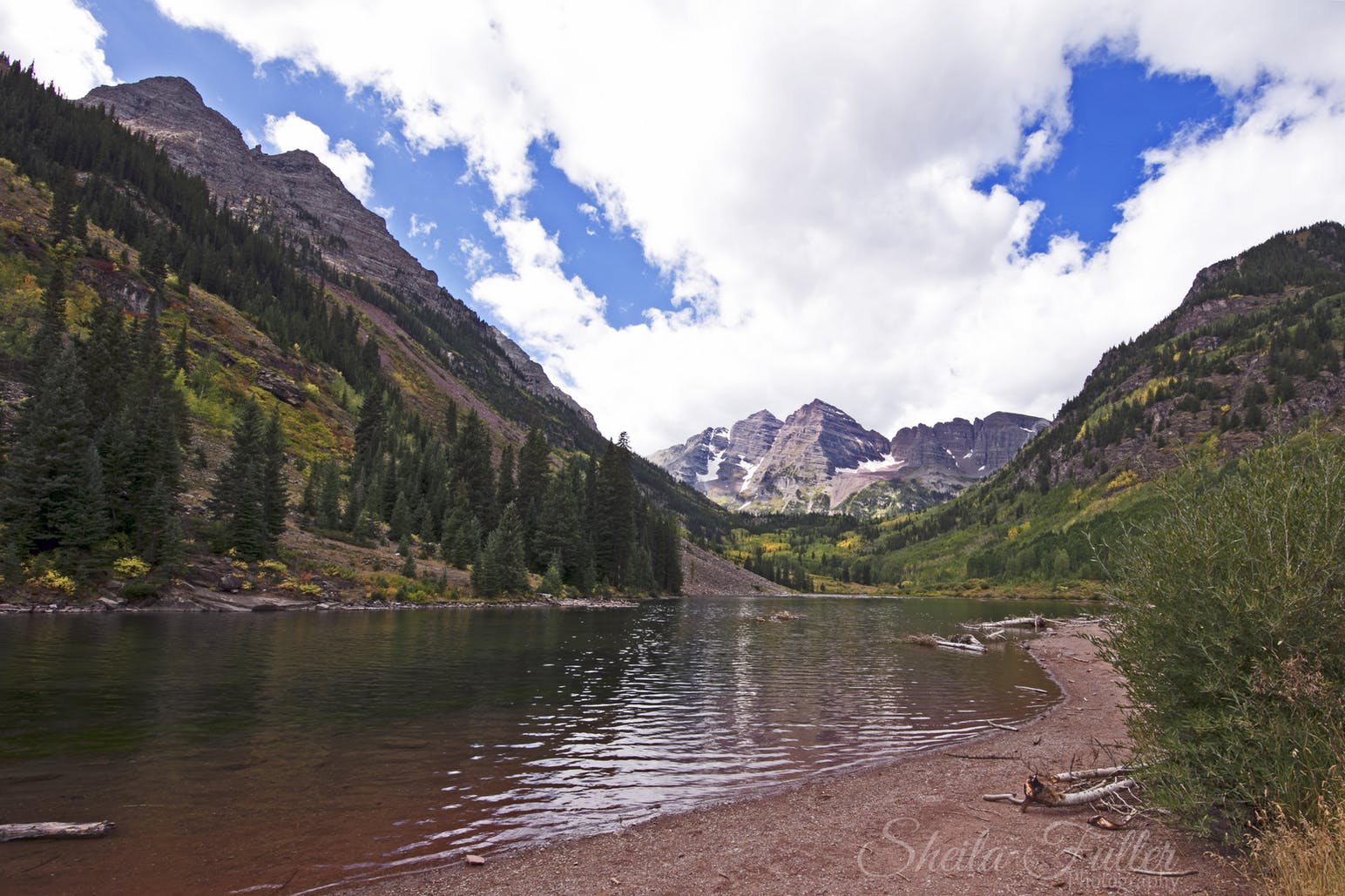
Image from The Dyrt camper Sheila F.
A short paved walkway leads to a viewing deck on the Independence Pass summit. If you’d like a longer adventure to the summit, take the old jeep trail heading southwest from the walkway along the high alpine tundra of the Continental Divide. The trail ascends Mountain Boy Ridge and eventually reaches two unnamed summits. This is also a popular backcountry ski area in early summer.
As you drive down from the summit on your way to Aspen, you’ll reach the Upper Lost Man Trailhead on the north side of the road at the first hairpin turn. This trail provides some of the easiest access to phenomenal high alpine views in Colorado. The hike can be done as an out and back to Lost Man Pass or a point-to-point to the Lower Lost Man Trailhead with a car shuttle.
Independence Pass Area Attractions
The Grottos Ice Caves
The popular Grottos Trail is just nine miles east of Aspen on the Independence Pass Road. From the trailhead, this easy, family-friendly trail crosses over the Roaring Fork River and leads to a series of ice caves and cascading waterfalls. The trail is very well-marked and the caves are especially impressive when frozen over in winter.
Devil’s Punchbowl
The Devil’s Punchbowl is another geologic wonder carved by the Roaring Fork River. This natural swimming hole is accessed just west of the Grottos Day Use Area at a pullout near mile marker 51. Thrill-seekers can take a 20-foot plunge into the icy cold emerald waters, while less adventurous visitors can safely wade into the river just downstream.
Independence Pass Ghost Town
Also on the Aspen side of the pass, the Independence Ghost Town is a well-preserved historic mining village. Gold was discovered in the vicinity on July 4, 1879, and soon after, a small tent city quickly sprung up just below the Continental Divide. By 1881, Independence was a lively mining town with over 500 residents. Unfortunately, the town was particularly prone to avalanches and by 1912 the town was entirely abandoned.
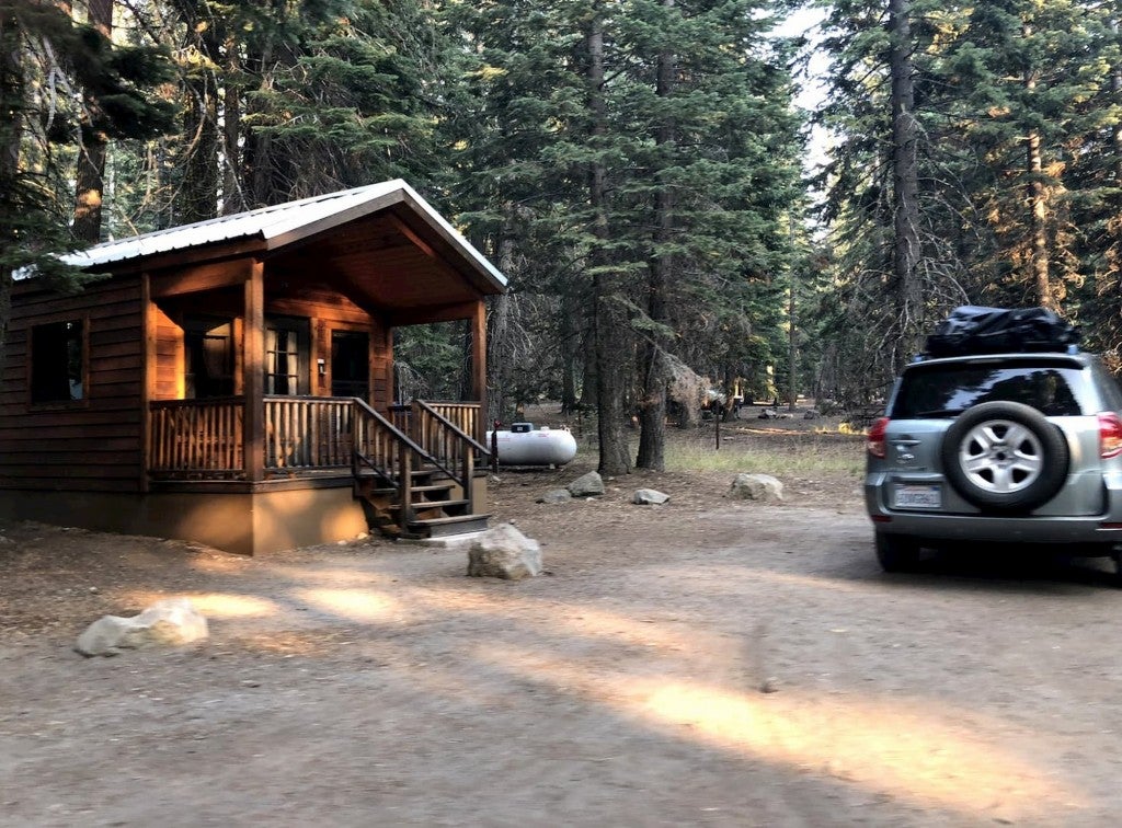
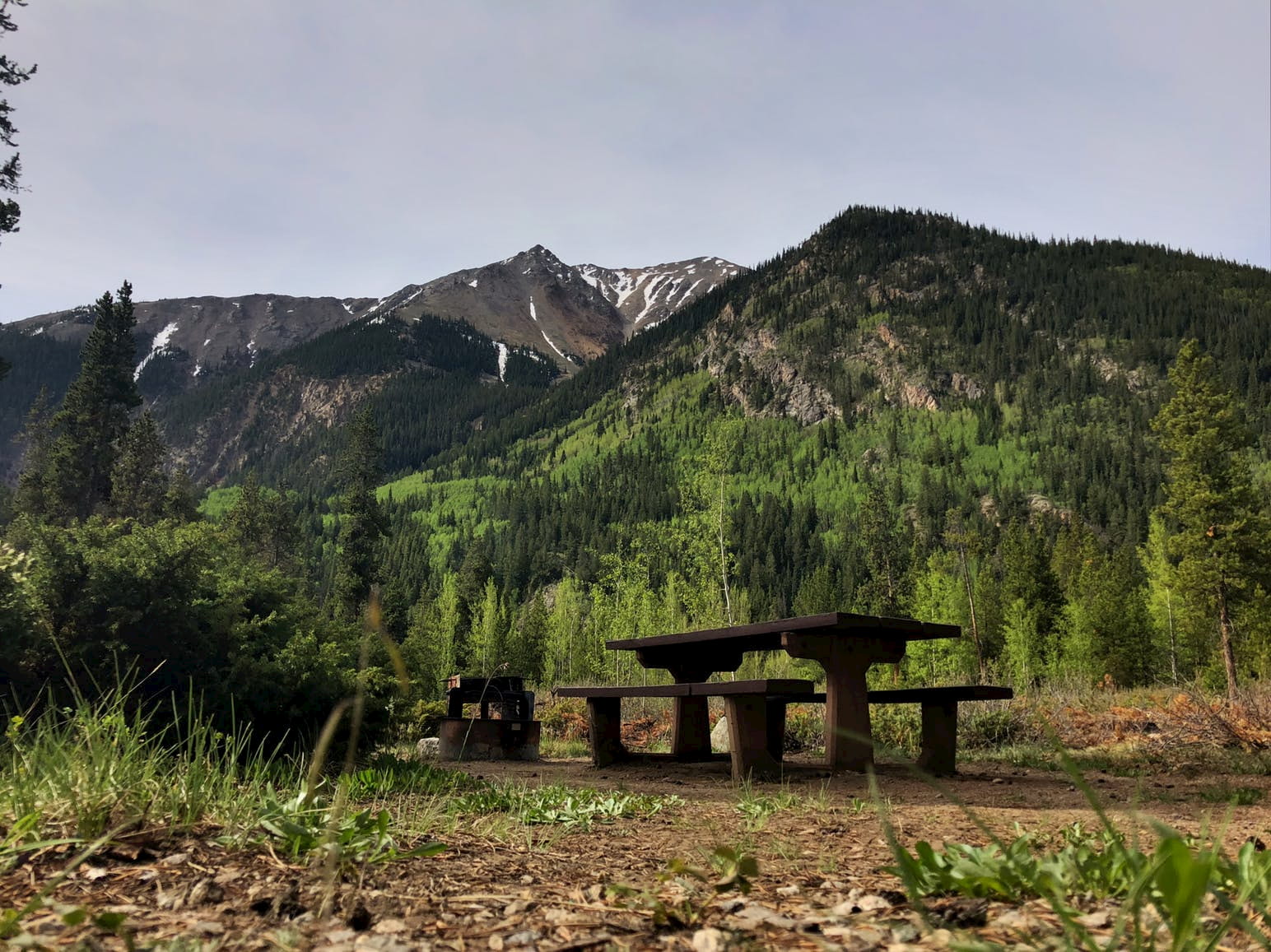
Camping Independence Pass, Colorado
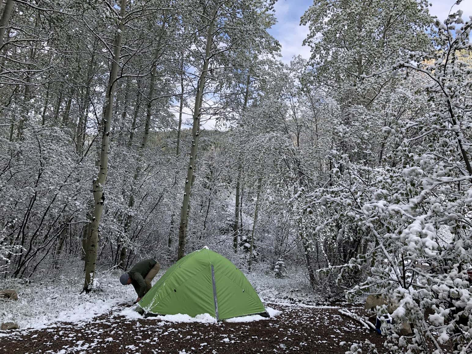
Image from The Dyrt camper Cassandra B.
Difficult Campground (Colorado)
Located just 5 miles southeast of Aspen, Colorado, Difficult Campground is the closest camp spot to the city of Aspen and a great basecamp for exploring Independence Pass, Colorado. Campsites are surrounded by aspen trees and a handful of sites are situated along the banks of the Roaring Fork River. No hook-ups are available and sites offer plenty of space for tents and small campers. Reservations are available and highly recommended during the summer and weekends the rest of the year.
Portal Campground
From Aspen, head 11 miles on the Independence Pass Road and then travel seven miles south on the unpaved Lincoln Creek Road to get to the remote Portal Campground. There are only five campsites, but beyond the campground you’ll find several dispersed sites alongside the road. Lincoln Creek Road also makes for a great mountain bike ride or trail run and leads to the abandoned Ruby townsite. A high clearance vehicle is recommended to reach Portal Campground.
Lost Man Campground
The Lost Man Campground is located right off the Independence Pass Road two miles east of the Independence Ghost Town. All 10 campsites are first-come, first-served and the lodgepole pine forest setting offers plenty of privacy. The campground is located at 10,500 feet above sea level so count on chilly evening temps even in the middle of summer.
Twin Peaks Campground
Located on the Twin Lakes side of Independence Pass, Colorado, the Twin Peaks Campground is a great base camp for climbing Mount Elbert or La Plata Peak. The campground is equipped with drinking water, pit toilets, and trash collection, and all sites are available on a first-come, first-served basis.
Other Aspen Area Campgrounds
The Maroon Bells-Snowmass Wilderness Area southwest of Aspen has some of the most scenic Colorado campgrounds. The Silver Queen Campground accommodates RVs and trailers, although no hook-ups are available, and reservations can be made in advance. The Silver Bar Campground has 14 sites, including tent-only walk-in sites.
This article about Independence Pass, Colorado is brought to you by Banner and Oak
Banner and Oak makes ladies hats with a variety of styles and colors
The Dyrt is the only camping app with all of the public and private campgrounds, RV parks, and free camping locations in the United States. Download now for iOS and Android.Popular Articles:
Articles on The Dyrt Magazine may contain links to affiliate websites. The Dyrt receives an affiliate commission for any purchases made by using such links at no additional cost to you the consumer.