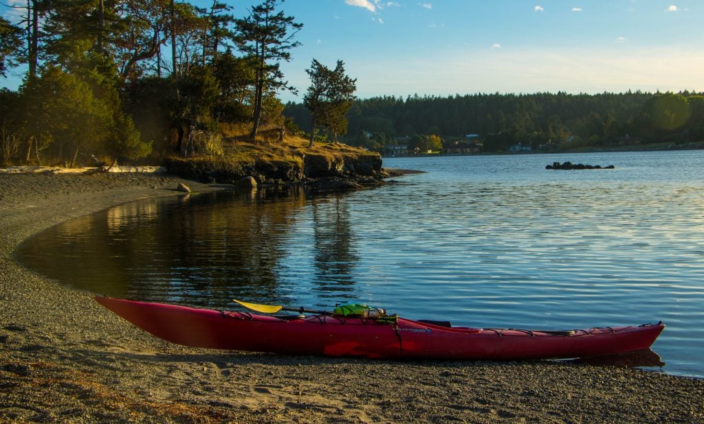
Originally created as war rations, Mountain House has since adapted to provide backpacking food and camping meals for weekend warriors and thru-hikers alike. So when you embark on a Grant Enchantment Trail thru-hike, try the Homestyle Turkey Dinner Casserole. It’s like a home cooked meal in a pouch!
Pacific Crest. Appalachian. John Muir. Continental Divide. Tahoe Rim. Wonderland.
We’ve likely all heard of the major thru-hikes. We’ve read the books, watched the documentaries, combed through online blogs. What about the oft-overlooked trails? The ones who’s names we don’t know? Who’s locations are obscure, rugged, remote? Thru-hikes that are still mega, but quieter, like the Grand Enchantment Trail.
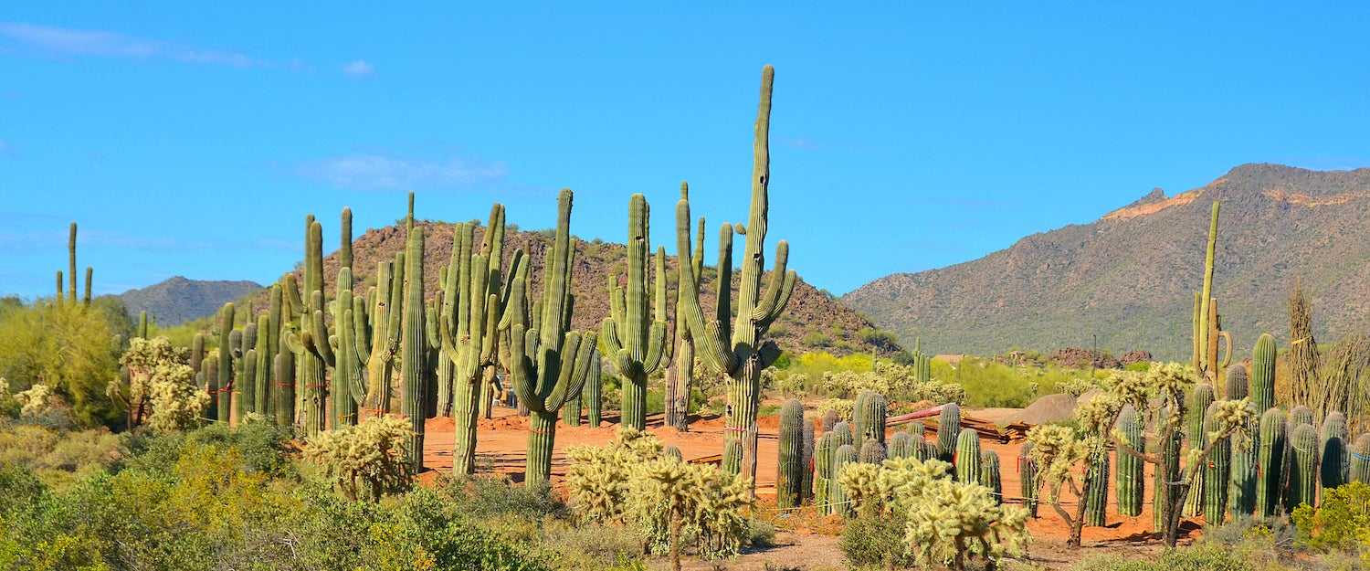
On the northeastern outskirts of Phoenix, AZ in the Superstition Mountains of the Tonto National Forest, thru-hikers find the western terminus of the Grand Enchantments Trail. Founded in 2003 by Brett Tucker, the trail, undesignated, and mostly a connection of already established trails, heads south- and then northeast for 770 miles until it reaches the Cibola National Forest to the east of Albuquerque.
Along the way, hikers encounter desert wildlife, elevation gains up to 10,700 feet, and some of the best camping in Arizona and New Mexico. They hike alongside Saguaro cactus, free-range cows, and densely forested areas. The route traverses 70 miles of the Arizona Trail and 45 miles of the Continental Divide, and rarely touches pavement (in fact only 30 miles of it). Many hikers have noted not seeing another human for miles, days, weeks.
It’s like thru-hiking before thru-hiking was cool.
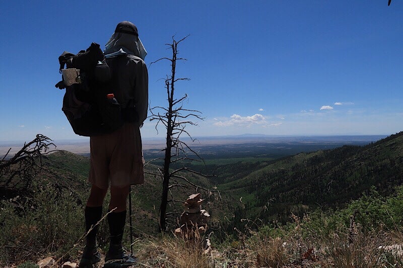
Beardoh hiking near the Continental Divide Trail
Key Facts and Tips About the Grand Enchantments Trail
- Grand Enchantment Trail hikers traverse 10 summits over 10,000 feet high
- 64% of trail wanders through desert, and the remaining 36% through forest
- There are over 170 water sources along the trail
- No permits are required, unless spending the night in Aravaipa Canyon
- Map & compass skills are highly, highly recommended
What Makes the Grand Enchantments Trail Magical
Starting out from the First Water Trailhead in the Superstition Wilderness, hikers travel through Tonto National Forest, the fifth largest forest in the United States, passing both cactus and pine trees. The trail passes through the White Canyon Wilderness, Aravaipa Canyon, Painted Bluffs, The Blue Range, Gila Wilderness, the Rio Grande Valley, and more.
Between the landscape and the solitude, you may very well wish to never return to society.
Advice From Seasoned Thru-Hikers Beardoh and Sweetpea
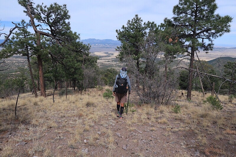
Any Grand Enchantment Trail veteran will tell you it’s not for beginners or the faint of heart. Hikers must have their “navigational wits about them,” according to Beardoh, who’s trekked tens of thousands of miles of American wilderness.
Beardoh and his partner Sweetpea are what you’d call Trail Legends. Not only have they completed the Triple Crown of thru-hikes, they’ve also been repeat offenders, checking off some trails twice.
Along the way they’ve documented their travels with an online trail journal: Long Distance Hiker. By updating their journal whenever they have internet, it feels like you’re hiking along with them, in a far more leisurely environment.
Beardoh in the Manzano Mountains
What inspired you to start thru-hiking?
We have been pretty avid day hikers since we moved to New Hampshire in 1999. For many years we felt tied down with our work lives as well as construction work on our house. The idea of a long, all-in adventure really appealed to us, and we hadn’t had that experience since our service in the Peace Corps (East Africa) many years before.
While many hikers dream of hiking a long trail for many years, it wasn’t until a specific work situation wrapped up in 2010 that we gave a lengthy thru-hike (Appalachian Trail in 2011) much thought.
How have you afforded and taken time off to complete a thru-hike?
There are really two parts to this answer:
First–Our winter months are spent working on what we refer to as ‘micro-businesses.’ We have three very small businesses that can largely be run passively while we’re on the trail. We give up a decent part of the net profits (by employing others) in exchange for time. Time is more important to us. Between the three businesses, earnings are enough to keep us on the trail.
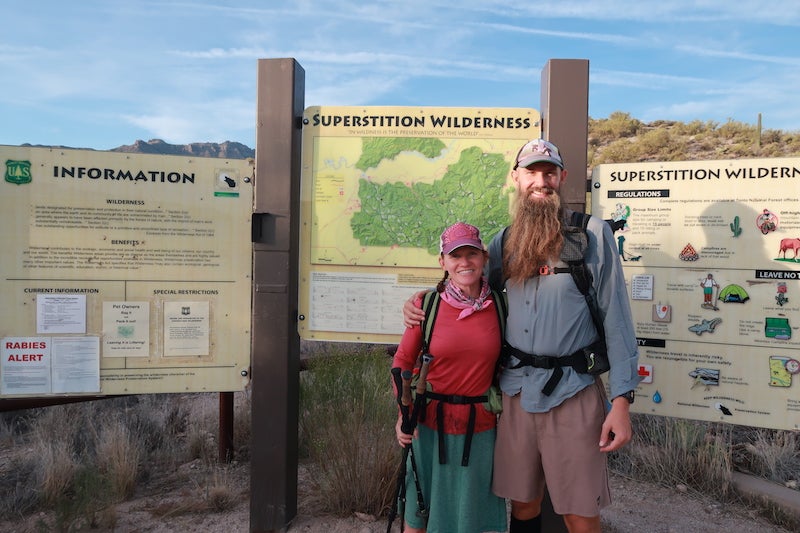
Beardoh & Sweetpea at the beginning of the Grand Enchantment Trail
Second–Our life expenses are low. Off trail time is spent outside of the US in less expensive locations–we have spent the last five winters in Mexico or Guatemala (we are writing this from Mexico, in fact). When we are in the US, we house-sit (through an agency), car camp, and visit family and friends. While we own a home in New Hampshire, we rent it out long term. Many of the regular expenses (utilities, home repairs, etc…) are not part of our current life.
How did you hear about the Grand Enchantment Trail?
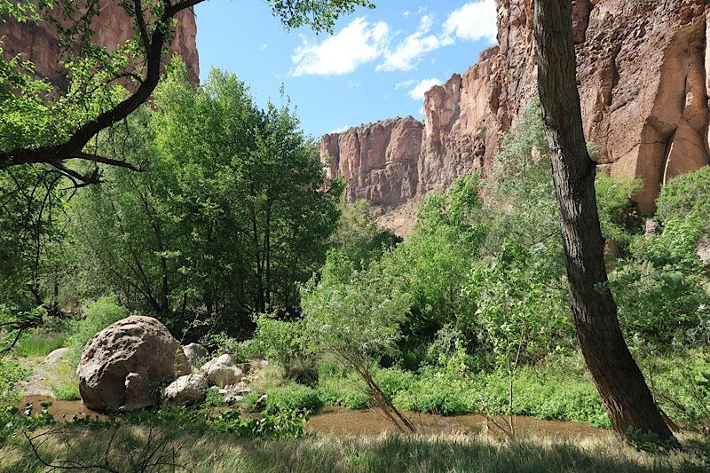
Aravaipa Canyon on the Grand Enchantment Trail
It feels like the idea of the Grand Enchantment Trail just kind of seeped into our consciousness instead of there being a particular time when we heard about it. When we hiked the Arizona Trail, we started to hear more about the GET, as the two trails have a concurrent stretch. We met a hiker on that trail who had hiked most of the GET and we also have friends who are trails angels on the GET. So we started to pick up tidbits about the trail over time. The idea of the Grand Enchantment Trail was planted in our heads on our AZT hike, and then we started to notice it more when other hikers we were familiar with decided to hike the trail.
What were some challenges unique to the GET?
When compared with other long distance trails in the US that many hikers may already be familiar with (Pacific Crest Trail, Appalachian Trail, Colorado Trail, John Muir Trail, etc…), the Grand Enchantment Trail’s lack of being an actual ‘trail’ is certainly challenging. The route is made up of trail, dirt roads, and cross country travel. Much of the trail is unmaintained. There’s a lot of cross country travel through washes and small canyons–terrain that’s fairly unique to the GET (and also the Hayduke Trail). The Grand Enchantment Trail requires a hiker to have their navigational ‘wits’ about them at all times.
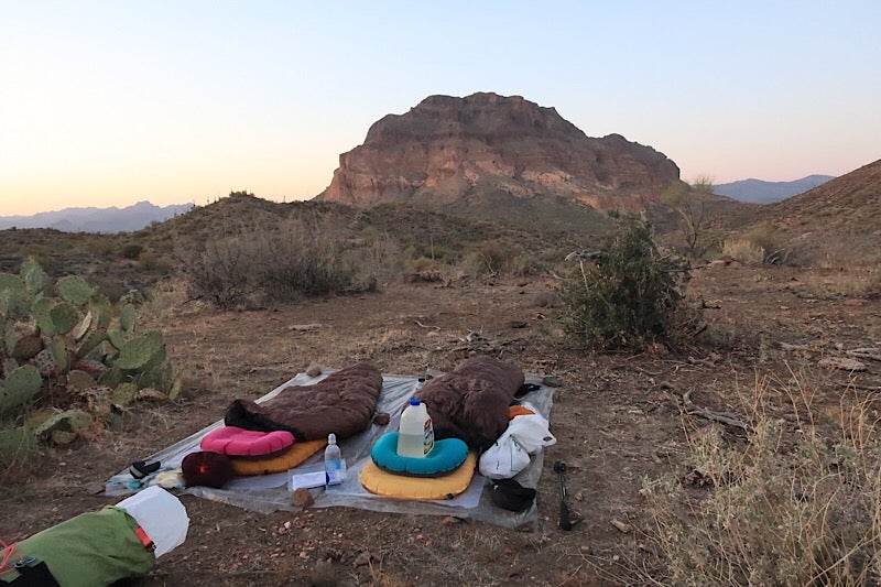
Sleeping arrangements on the trail
There are also several long water carries on the GET. During many days of the trip, Beardoh would carry a one gallon jug of water in addition to the water we carried in our pack. On the more well-known trails, we usually don’t carry much ‘extra’ water. On the GET, we regularly carried extra water as the sources are not as well known, and small streams or pools could quickly become non-existent.
How often did you see other people on the trail?
Of all the trails that we have hiked, the GET had the fewest people hiking. There were reportedly around 20 people who hiked the Grand Enchantment Trail in the spring of this year. It wasn’t until our 3rd to the last day that we met another GET hiker on the trail. We ran into three other hikers in town at various places, but only one on the trail.
We expected the solitude on this trail, and we got it. Occasionally, we did see some ranchers in the areas where we crossed ranch land. During the section of the GET that coincided with the Arizona Trail we saw several hikers and bikers going northbound on the AZT. By in large, we didn’t see anybody for the majority of our days on the trail.
How often did you resupply along the trail?
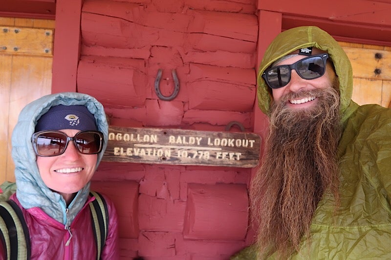
At Baldy Lookout
Resupply varied depending on the mileage between town stops. We had a few stretches which were just two or three days (these were usually shorter because we took advantage of food cache boxes along the trail to drop off food before starting the trail), but we did have a lot of five day stretches between towns. Because of the weight of food (typically 2lbs/day/person), we try to keep resupply stretches shorter than seven days when possible.
Were there any pieces of gear you took on the GET that were specifically for the type of terrain you encountered?
The biggest difference in gear for the Grand Enchantment Trail was leaving our hammocks at home, and instead just sleeping on the ground. Even though we love hammocking, and have done so on all our other previous hikes, we weren’t sure what to expect on the GET in terms of terrain. Would there even be enough trees to hang every night?
So, instead of hammocks, we each brought a short inflatable sleeping pad, a lightweight ground cloth and a poncho tarp. This sleeping system allowed us to keep our gear weight even lower than normal, which we figured would be helpful for times when we would need to carry a lot of water to get us through a long dry stretch or scramble out of canyons and washes.
What skills are essential for the Grand Enchantment Trail?
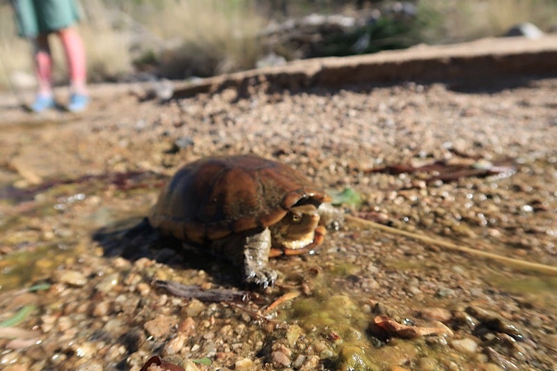
Desert tortoise
As mentioned previously, navigation is a big part of the GET experience. There were often times when we worked with the maps, smart phone app, and guidebook pages all at once to understand where we were headed to next (or our current position). Knowing one’s pace via dead reckoning is also essential (and arguably part of the map/compass skillset) as this helps a hiker know when he/she has walked a given distance. Generally, we found the need to navigate fun and rewarding–especially on the straight-up cross country sections where we would figure out our heading and use the compass to get to a known point on the map.
Desert hiking skills are a must. Water and heat play a pretty big role in a GET hiker’s experience if hiking in the spring, as we did. The Grand Enchantment Trail has a lot of desert walking, and there are few places to obtain water from natural sources such as springs, streams or lakes. Often, water is found in livestock tanks – where water is collected from a well and pumped into a tank, and occasionally in an earthen tank where water pools from precipitation. The distance between water sources can often be over 20 miles depending on the year.
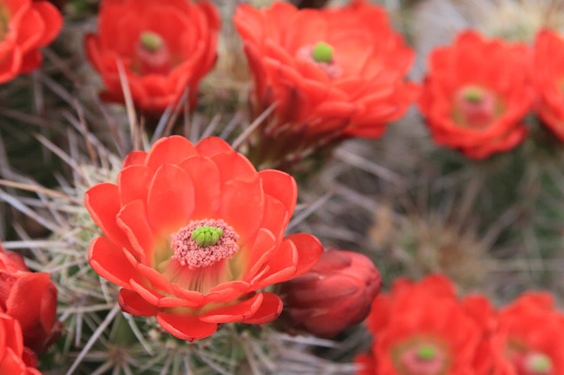
Desert flora and fauna, Claret Cup
We hit some very warm weather in a couple sections of the trail, and altered our daily schedule to accommodate – starting earlier in the dark and getting in some miles before temperatures were too high. Both of us wore long sleeve shirts to keep the sun off of our arms and keep cool. We also used large bandanas under our caps to keep the sun off our ears and necks.
Advice to someone who’s starting to plan their Grand Enchantment Trail hike?
The GET is a trail where it really behooves you to plan in advance. While there are certainly many trails where you can just jump on and start hiking, the GET is not one of them. Sitting down and planning things out beforehand (resupply points, alternate routes, daily mileage) can give you a lot more confidence as you start the hike. There are resources available for planning, whether it be the GET website, Facebook groups, or folks who have hiked the GET in the past. Spending time with these resources can give you a pretty clear idea of what you can expect to encounter on the trail.
Any favorite sections of the trail that stand out?
There are a lot of interesting and unique areas on the Grand Enchantment Trail. The diversity of the trail is one of the highlights itself…from desolate and vast desert floors to dense forests and imposing mountain ranges. That being said, we did really love the Gila National Forest in New Mexico. Our six days through the Gila National Forest included the highest point on the GET (Mogollon Baldy), the very impressive Mineral Creek Canyon, and the Gila River itself.
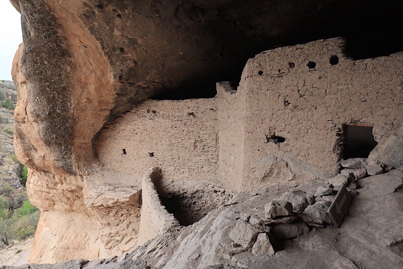
Gila Cliff Dwellings
In particular, we enjoyed hiking along the West Fork of the Gila River. Even though it required us fording the river at least thirty times, the rock formations were spectacular. We found ourselves walking through a canyon (quite narrow at times) with tall and spindly spires of red rock on either side of us. And the prize at the end of the Middle Fork was ending up at the Gila Cliff Dwellings National Monument, which is a fascinating and awesome piece of history.
Camp at Outposts Along the Grand Enchantment Trail
At the trailhead: Lost Dutchman State Park
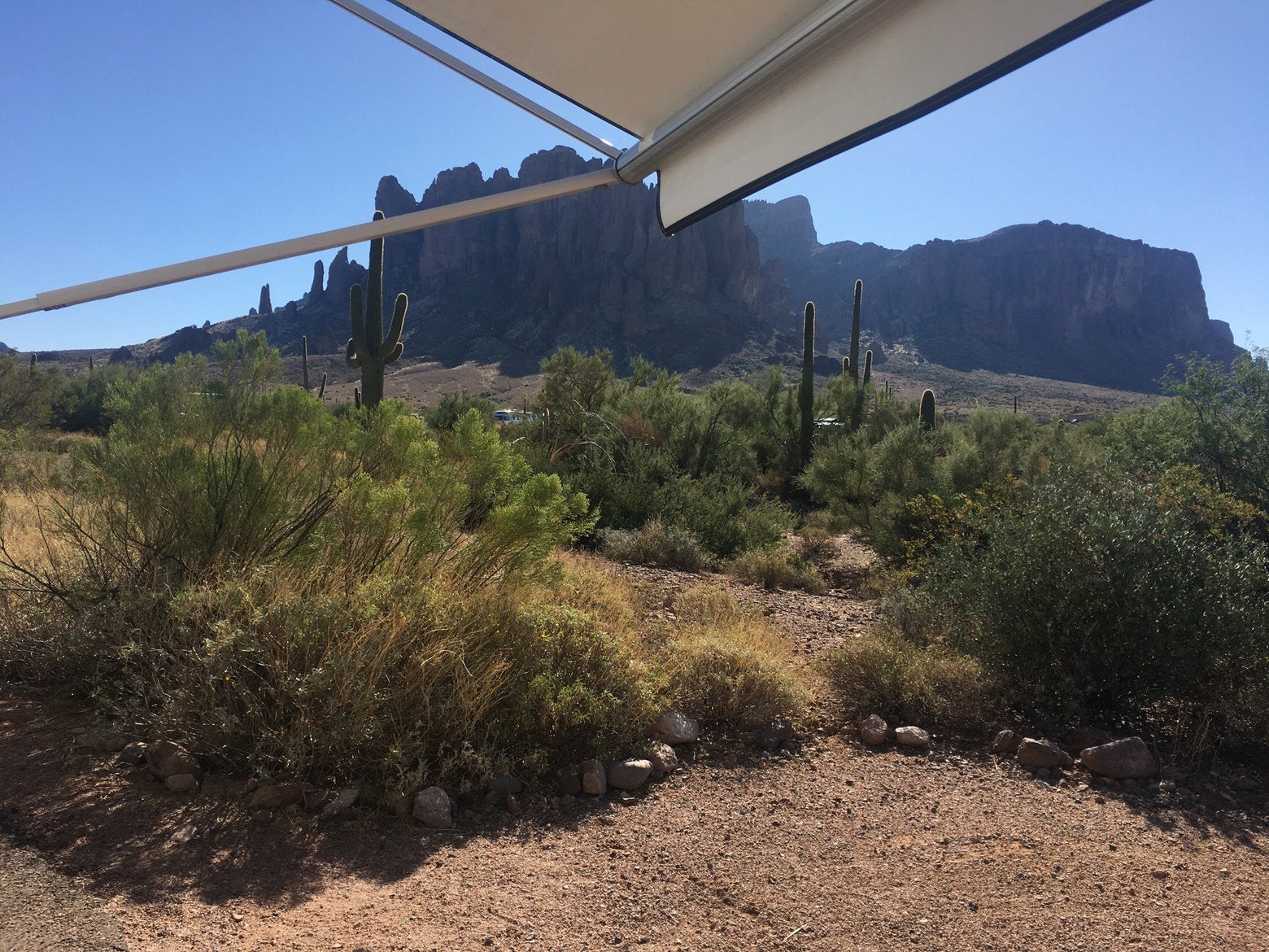
Image from The Dyrt user Cassie R.
“Loved the variety of hikes here, anything from easy to medium-difficult. The individual sites are pretty small and hard to put a tent anywhere but the paved drives into each nook, much of the ground is covered in small plants and cacti.” –-The Dyrt camper Alicia V.
First outpost: Oak Flat Campground
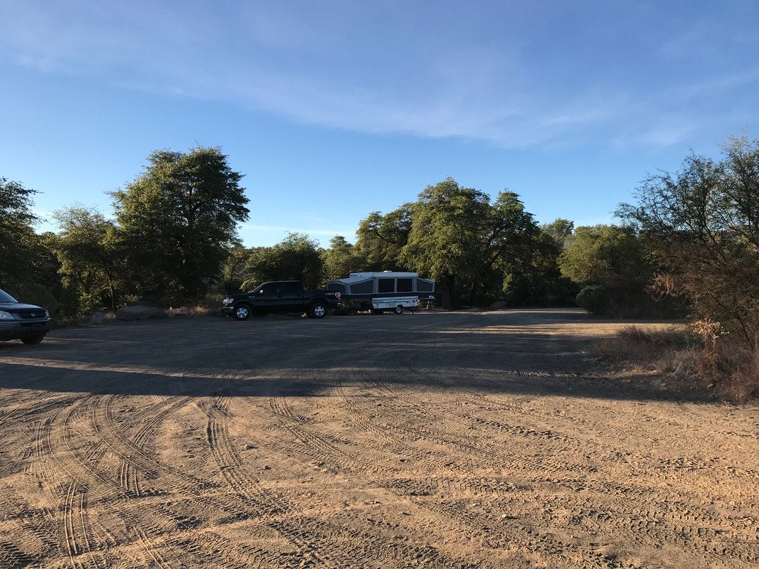
Image from The Dyrt user Jamey R.
“There are a handful of campsites with picnic tables and firepits, plus several flat and open areas for RVs or tent cities. Some sites are open and others have a few shady tree for hammocks, slacklines, and more.” –The Dyrt camper Danielle A.
Third outpost: Roper Lake State Park
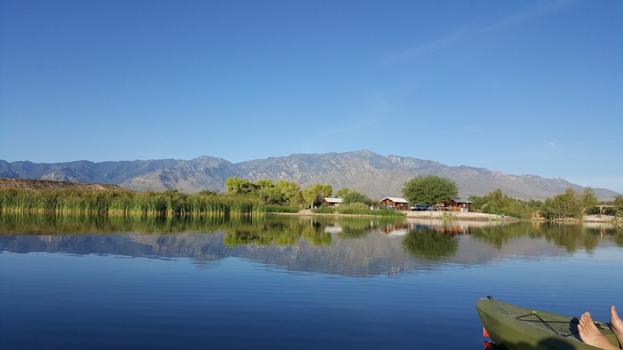
Image from The Dyrt user Adam R.
“This State Park is very well cared for and a pleasure to stay in. It has three campgrounds, with sites for tents and RV’s, as well as eight camping cabins for rent. The lake has fishing, swimming, and is perfect for kayaks and SUP’s.” –The Dyrt camper Kelly W.
Fifth Outpost: Cottonwood Campground
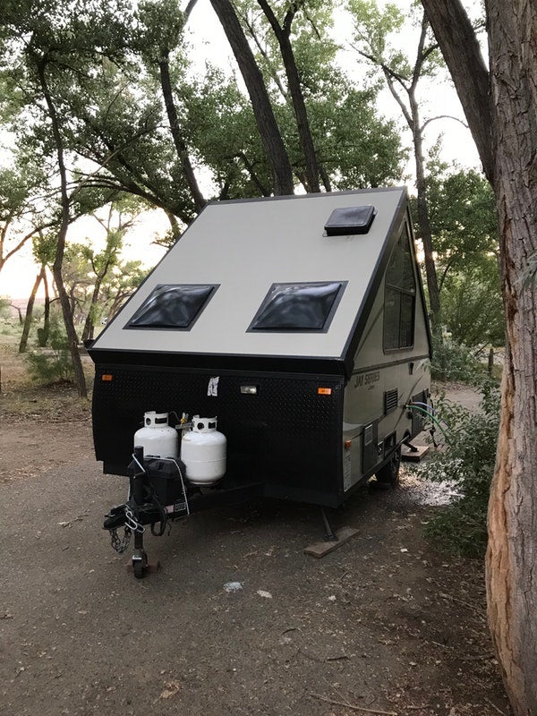
Image from The Dyrt user Tammy J.
This campground has shade, which is nice because the summer sun is very intense. It has hookups and is RV friendly, with both drive through and driveway sites available. The campground has bathrooms facilities, but NO SHOWERS.” –The Dyrt camper Tammy J.
Sixth Outpost: Black Canyon Campground-Lower
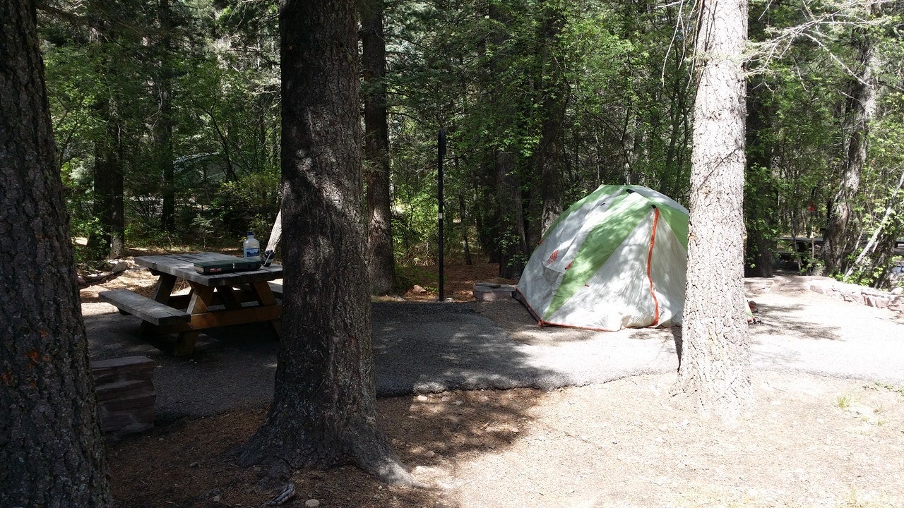
Image from The Dyrt user Court M.
“The birds are abundant here. I wore a red winter hat and had at least 10 hummingbirds buzz my head in one day. I could hear their wings and feel the breeze from them they came so close. Tons of shade here, and nice cool days with chilly nights in May.” –The Dyrt camper Court M.
Seventh Outpost: Luna Park Campground
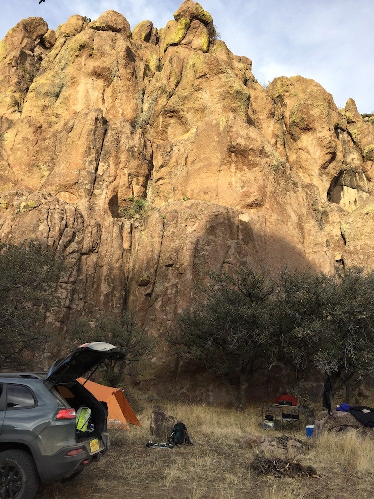
Image from The Dyrt user Damon T.
“There are 2-3 camp sites here and a handful of both sport and trad routes. A pit toilet is available. There was some scrub juniper to burn but not much firewood otherwise. The view back east is spectacular.” –The Dyrt user Damon T.
Eighth Outpost: Water Canyon Campground
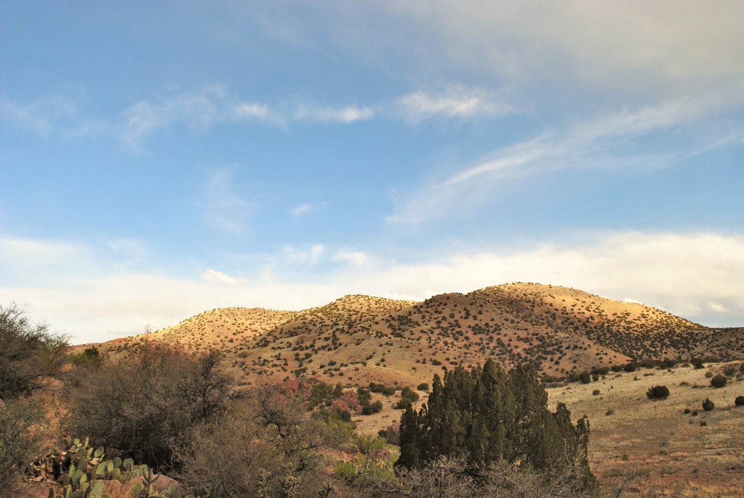
Image from The Dyrt user Leah W.
“This campground was great! Trails nearby, picnic tables, fire pits, and pit toilets…. Nice trees, good shade! We enjoyed smores that night! Lots of flies though…” –The Dyrt user Leah W.
Ninth Outpost: Manzano Mountains State Park
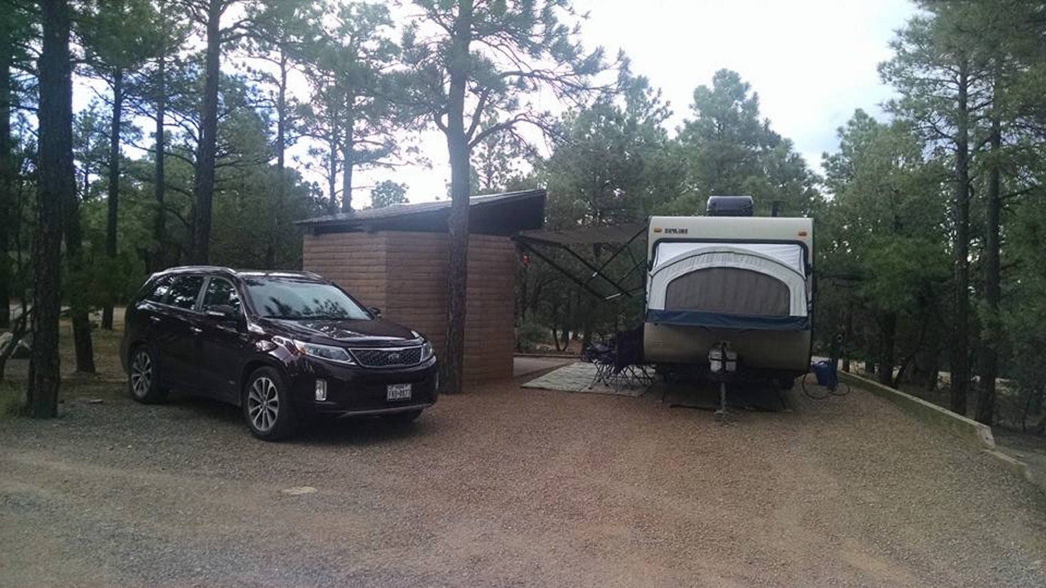
Image from The Dyrt user David C.
“Well off the beaten path, but worth a few nights of peace and solitude. Went in July and the weather was cool in the 80’s most of the time, cooling to the upper 40’s at night. Isolated at the end of a road in the edge of the Monzano Mountains, it is fully treed with great shade.” –The Dyrt user David C.
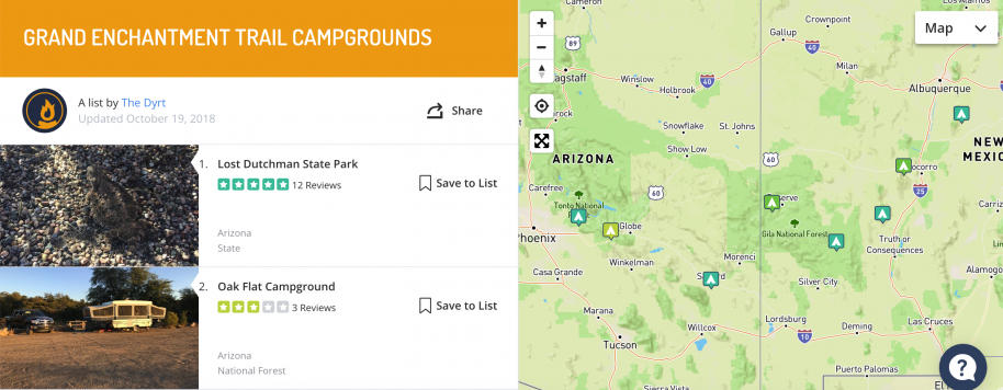
Check out the full list of Grant Enchantment Trail Campgrounds, in Tandem with Sweetpea and Beardoh’s Resupply Outpost List for your ultimate hiking adventure.
The Dyrt is the only camping app with all of the public and private campgrounds, RV parks, and free camping locations in the United States. Download now for iOS and Android.Popular Articles:
Articles on The Dyrt Magazine may contain links to affiliate websites. The Dyrt receives an affiliate commission for any purchases made by using such links at no additional cost to you the consumer.