This article is brought to you by Gregory, makers of seriously high-quality water reservoir backpacks that will keep you hydrated and adventuring for longer.
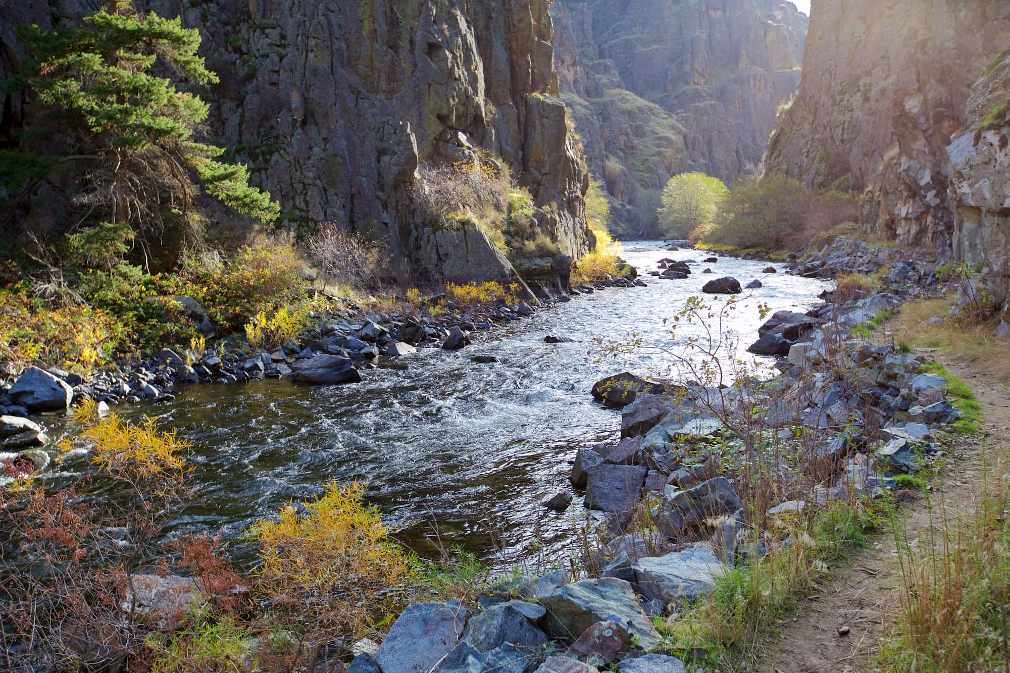
Carved by the raging waters of the Snake River along the Idaho and Oregon border, Hells Canyon is the deepest gorge in North America and one of the West’s best kept secrets. At its lowest spot, the Snake River flows an astounding 7,993 feet below the canyon rim. That is more than a quarter mile deeper than the Grand Canyon.
Hells Canyon features vast amounts of wilderness that can only be reached by hiking or on horseback, world-class whitewater boating, and nearly endless opportunities for solitude. No bridges span the canyon and only a few roads lead into the Hells Canyon National Recreation Area making just getting into the canyon area an adventure in itself.
Driving the Hells Canyon Scenic Byway
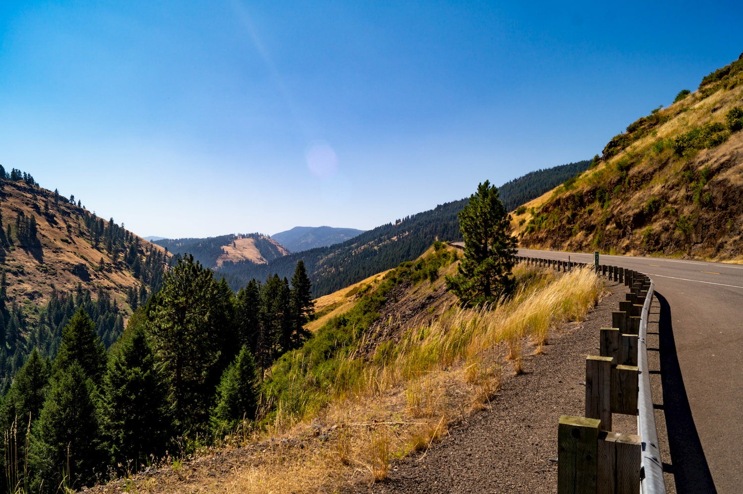
The 231-mile Hells Canyon Scenic Byway winds around the eastern side of Hells Canyon passing by some of the canyon’s most accessible viewpoints. The route is entirely paved and encircles northeastern Oregon’s Wallowa Mountains, although side trips on unpaved roads are recommended to get to some of the best canyon viewpoints.
Most visitors start their adventures in the region from La Grande or Baker City, Oregon. The entire route can be driven in four or five hours, but to really experience Hells Canyon, consider taking your time and spending a few nights camping near Hells Canyon Oregon.
Driving the route clockwise from La Grande, don’t miss the side trip to Hat Point, the highest point on the Oregon rim of Hells Canyon and one of the most dramatic viewpoints of Hells Canyon. Hat Point is accessed via a 24-mile drive on a gravel road from Imnaha and restrooms, picnic tables, and hiking trails are available at the viewpoint. If you’d rather stick to pavement, the Hells Canyon Overlook is another excellent option and is accessible via a paved road from the Hells Canyon Scenic Byway.
The side trip to the Hells Canyon Dam from Halfway, Oregon is also highly recommended. The Hells Canyon Dam is one of three hydroelectric dams in the national recreation area and is accessed via the Idaho side of the river. Just below the dam, the Hells Canyon Visitor Center offers a great opportunity to learn about the canyon’s geology and get more information on things to do and see in the region.
Camping Near Hells Canyon National Recreation Area
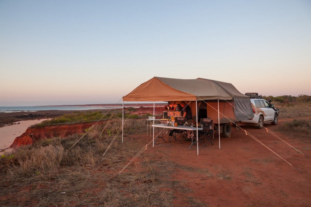
Camping options are numerous in Hells Canyon National Recreation Area, but most campgrounds only offer basic amenities and drinking water may not be available so be sure to carry ample water. On the Idaho side of the river, Hells Canyon Campground and the Pittsburg Campground are popular options. On the Oregon side of the river, the Ollokot Campground Oregon is located just off the Hells Canyon Scenic Byway and is a pleasant spot along the Imnaha River.
Best Hiking and Backpacking Trails in and Around the Canyon
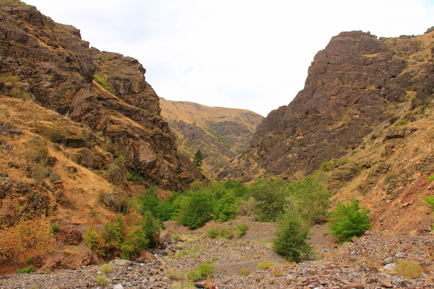
Since the canyon is so vast, heading out for a multi-day backpacking trip is one of the best ways to see the canyon. Shorter day hikes are available, but they often involve steep climbs and only provide a taste of the canyon’s immensity. Spring and fall are typically the best seasons for hiking since summer can get too hot and rattlesnakes and plentiful poison ivy create additional challenges.
Stud Creek Trail
Just below the dam on the Oregon side of the river, the Stud Creek Trail winds for a mile along the Snake River giving a taste of the immensity of the gorge without having to embark on a full-day hike. The trail hovers 100 feet above the river in spots with steep drop-offs so you’ll want to keep a close eye on the kids.
South Fork Imnaha Trail
Beginning at the Indian Crossing Trailhead along the Imnaha River on the Oregon side of the river, the South Fork Imnaha Trail follows the river and provides access to numerous surrounding trails. A beautiful swimming hole nicknamed the “Blue Hole” is only two miles from the trailhead and makes an excellent day hiking destination.
Hat Point Trail #1752
Located near the day use area at Hat Point, the Hat Point Trail #1752 descends over 5,000 feet to the bottom of the canyon, making it one of the most difficult hikes in the recreation area. Hikers don’t need to go all the way down to the river, but can enjoy a fantastic view of the Snake 2,600 feet below the rim.
Snake River Trail #102
On the Idaho side of the river, the Snake River National Recreation Trail #102 travels 40 miles through some of the region’s most spectacular scenery. Backpackers can traverse the entire trail or do an overnight trip to the Kirkwood Historic Ranch, a restored 19th-century cattle ranch now museum and campground. Jet-boat outfitters also offer drop-offs and pick-ups along the trail.
Boating the Snake River
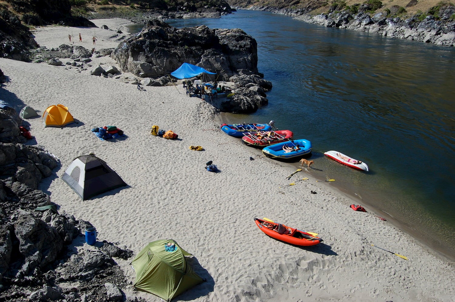
The easiest way to travel into the remote reaches of the canyon is by boat. The 31.5 mile section of the Snake River between Hells Canyon Dam and Upper Pittsburg Landing is a designated Wild and Scenic River and boasts some of the wildest rapids in the Pacific Northwest. Numerous guided river rafting tours are offered here, while private boaters need a permit to float the river anytime of year.
This article is brought to you by Gregory.
![]()
Their water reservoir backpacks will keep you hydrated and adventuring for longer.
Related Campgrounds:
- Goldbug Hot Springs, Lemhi County, ID
Popular Articles:
Articles on The Dyrt Magazine may contain links to affiliate websites. The Dyrt receives an affiliate commission for any purchases made by using such links at no additional cost to you the consumer.