“66 is the mother road, the road of flight.” — John Steinbeck, The Grapes of Wrath
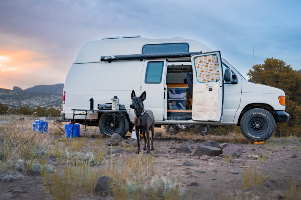
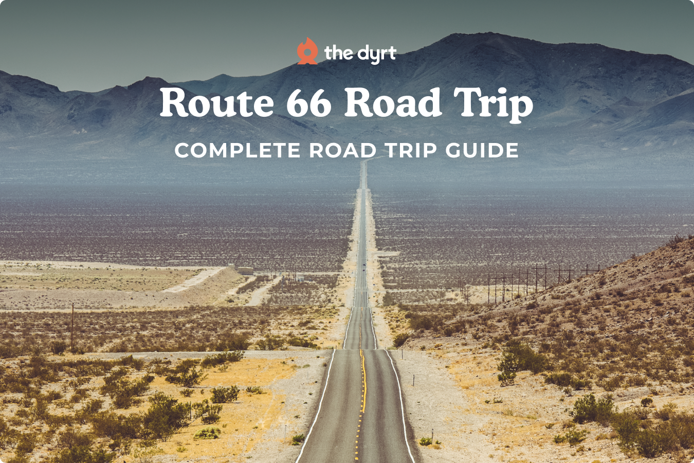
Route 66 runs 2,448 miles from Chicago, Illinois, to Santa Monica, California. Created in 1926 and removed from the federal highway system in 1985, the road still carries a strong presence thanks to preserved segments, restored businesses, and a culture built around cross-country travel. Drivers can follow it in either direction, and each path shows a different shift in landscapes. The route begins with farmland and small towns, moves into plains, rises toward high desert plateaus, and eventually ends at the Pacific coastline. Many travelers in The Dyrt community use Route 66 for long camping trips because it pairs history with steady access to parks and public land. Late spring and early fall bring the most comfortable weather across the full corridor. This overview guide covers the entire route and links to deeper segment articles for detailed planning.

Route Overview and Quick Facts
| Total Distance | 2,448 miles |
| States Crossed | IL, MO, KS, OK, TX, NM, AZ, CA |
| Recommended Time | 2 to 4 weeks |
| Best Seasons | May to June, September to October |
| Route Type | Historic alignments mixed with modern bypasses |
| Vehicle Needs | Standard vehicles and RVs with route planning |
| Notable Features | Vintage motels, neon signs, museums, roadside icons |
| Main Challenges | High temperatures, long distances between services in the West |
What Makes Route 66 Special
Route 66 carries a strong cultural legacy tied to migration and reinvention. During the Dust Bowl, families used the highway as a path toward new opportunities. That history later shaped books, songs, and television, turning the road into a symbol of movement across the American West. A long stretch of original pavement still exists in several states, giving travelers a chance to drive on authentic segments that date back nearly a century. The landscape shifts constantly, from Illinois farmland to the open plains of Oklahoma, then into red rock desert country and mountain plateaus in Arizona. The route approaches its one hundred year anniversary in 2026, which has encouraged many towns to restore museums, diners, and classic motor courts.
Regional Highlights Along Route 66
Illinois and Midwest Gateway
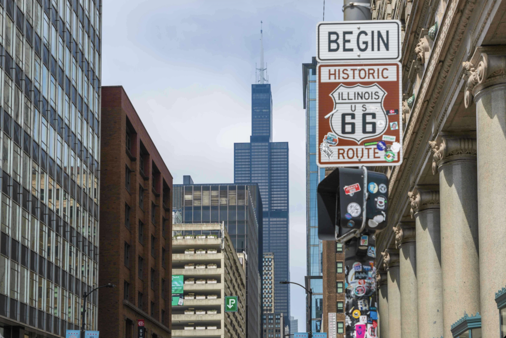
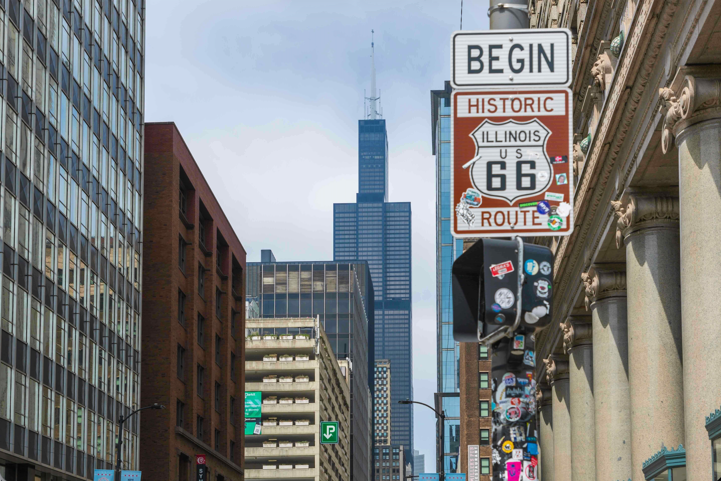
The journey begins in Chicago at the official Route 66 Begin sign. The early miles pass through Joliet, Wilmington, and Pontiac, where murals and small museums celebrate the road’s early years. Farmland surrounds most of the southern part of the state. Litchfield remains a staple stop thanks to the Ariston Café, one of the oldest restaurants still tied to Route 66. The Mississippi River crossing near St. Louis marks an early milestone and leads into the next segment.
Missouri, Kansas, and Oklahoma Heartland
Missouri brings a mix of rolling hills and classic roadside sites. Meramec Caverns draws steady traffic, and communities like Cuba use murals to document the road’s past. Kansas covers only thirteen miles, yet it features restored gas stations and buildings from the 1920s and 1930s. Oklahoma then stretches for hundreds of miles with frequent towns, Route 66 museums, art deco districts in Tulsa, and well-known landmarks such as the Blue Whale of Catoosa. Several segments of original pavement remain visible just outside Oklahoma City.
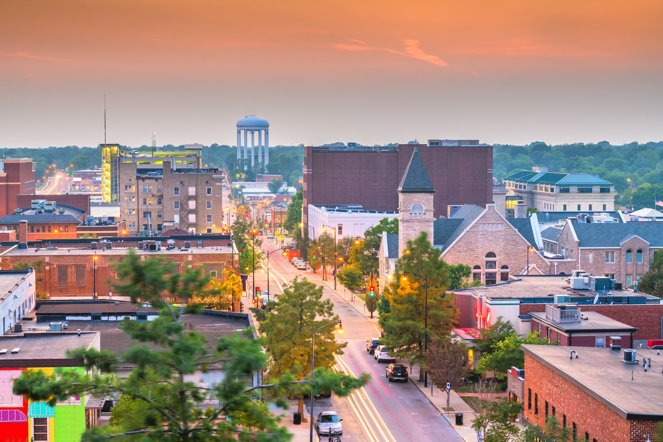
Columbia, Missouri, USA downtown city skyline at twilight.
Texas Panhandle
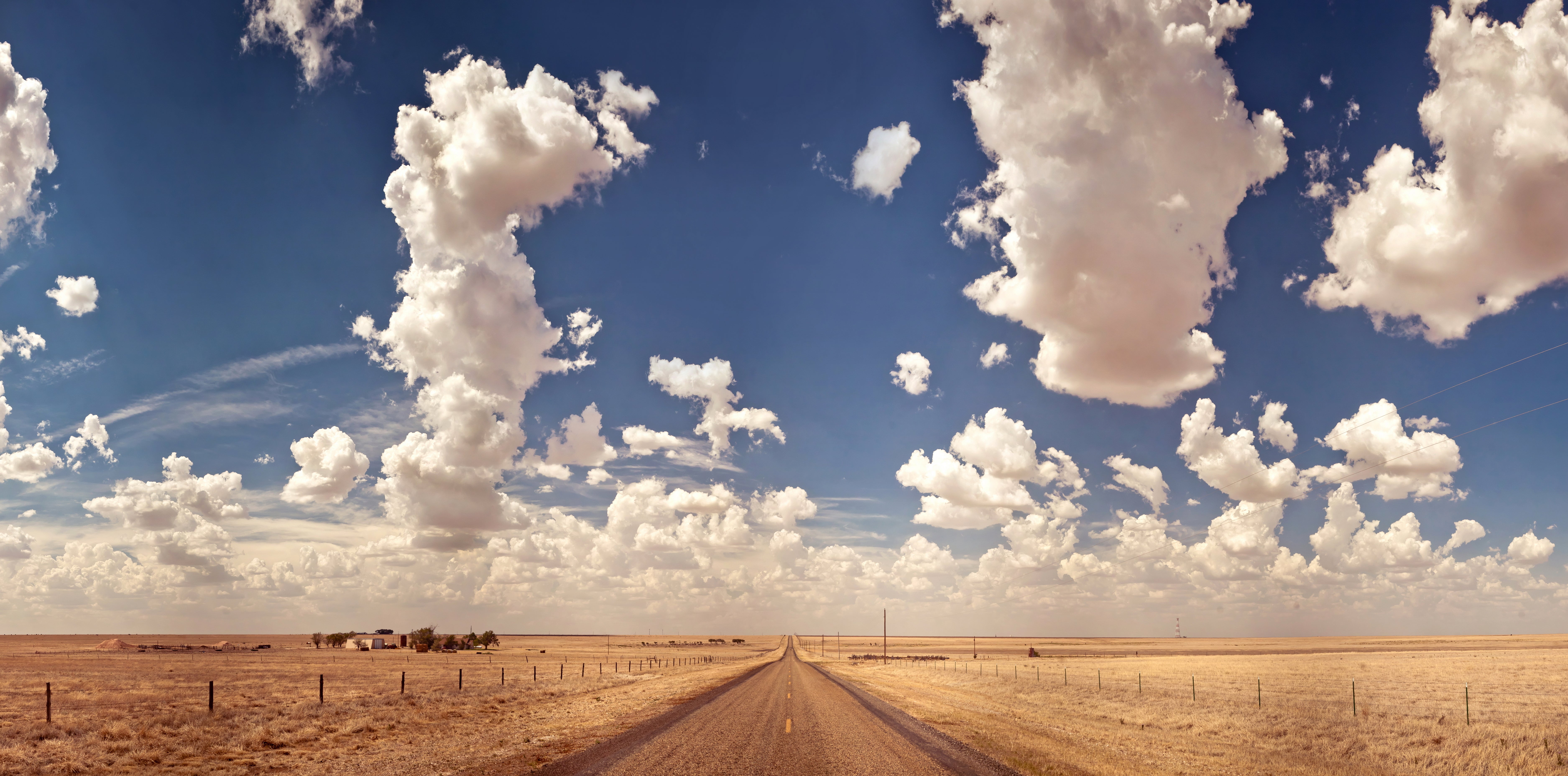
The plains of Texas feel open and quiet, with long views in every direction. Amarillo anchors the region and includes Cadillac Ranch, a popular roadside art installation. Adrian sits at the geographical midpoint of Route 66 and marks the halfway point between Chicago and Santa Monica. Restored buildings in Shamrock, such as the U-Drop Inn, show the area’s art deco heritage. Spring winds can be strong, and summer heat requires steady water and fuel planning.
New Mexico and Arizona High Desert
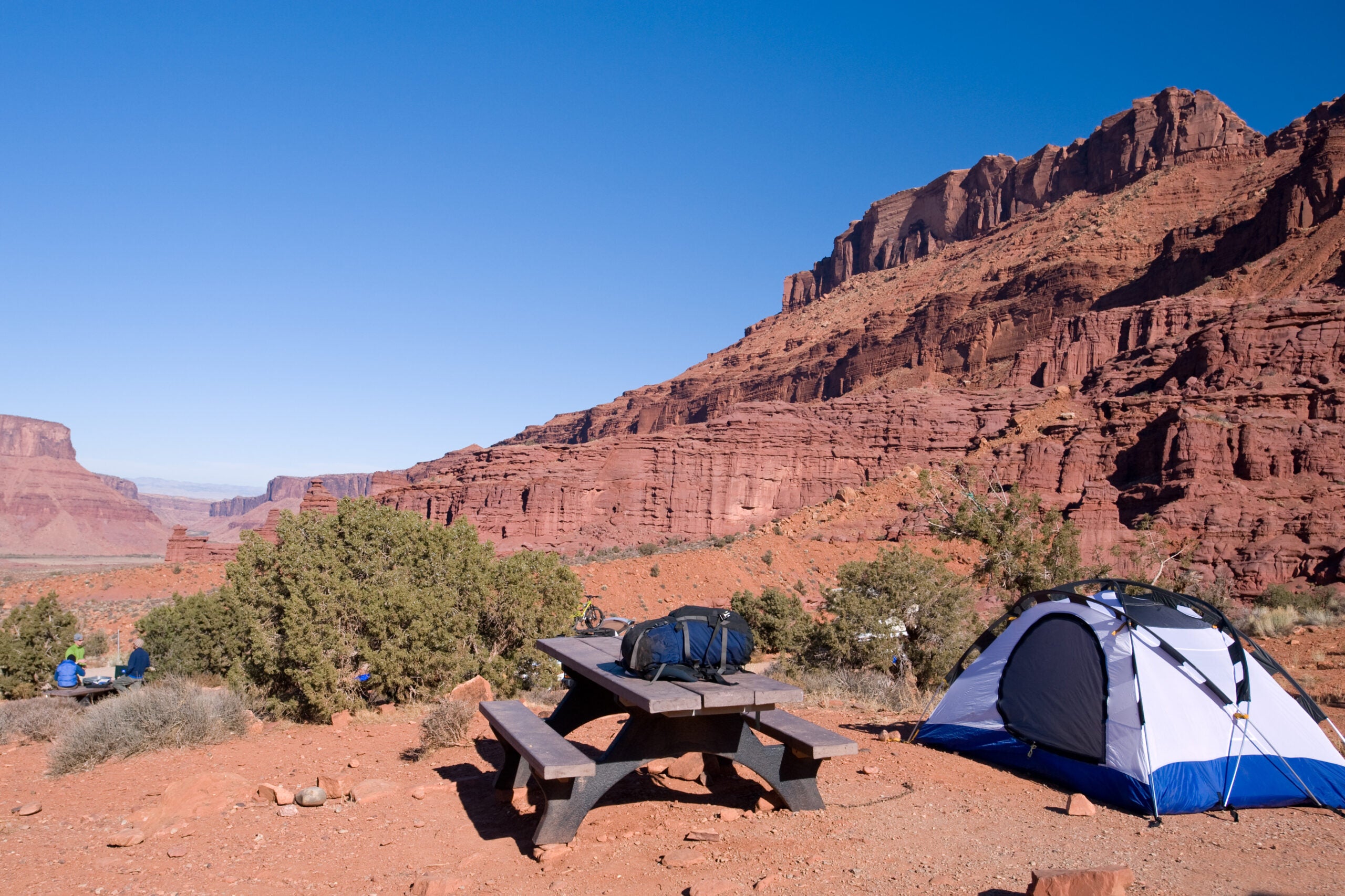
This portion of the route includes some of the most iconic landscapes of the Southwest. Tucumcari is covered in neon signs and historic motels. Santa Rosa and Albuquerque provide steady access to food and fuel, along with sections of pre-interstate road alignment. Petrified Forest National Park sits directly on the route and allows drivers to pass between ancient log fields and painted desert views. Meteor Crater is a worthwhile detour near Winslow. Flagstaff’s pine forest brings cooler air, and Williams provides access to the Grand Canyon. Several stretches of original concrete remain intact near Seligman and Ash Fork, making this one of the best places to drive on historic pavement.
California and Pacific Terminus
Once past Needles, travelers cross the Mojave Desert. This region features long, exposed miles and sparse services. Amboy Crater lies just off the highway and gives a close look at volcanic terrain. Towns like Ludlow and Newberry Springs preserve mid-century buildings that remain tied to the road’s earlier days. San Bernardino County contains the longest continuous segment of Route 66 in the state, including well-known diners and restored motels. The final approach into Los Angeles blends historic alignments with modern traffic. The official end point sits on the Santa Monica Pier beneath the End of Trail sign.

Featured Campgrounds Along Route 66
- Lincoln’s New Salem Historic Site – Petersburg, Illinois. A wooded state site with access to a reconstructed 1830s village. Clean facilities and quiet surroundings make it a useful overnight stop slightly off the corridor.
- Onondaga Cave State Park – Leasburg, Missouri. A well-reviewed state park known for guided cave tours and shaded campsites. Close to the Missouri portion of the route and convenient for a night between St. Louis and the Ozarks.
- Red Rock Canyon Adventure Park – Hinton, Oklahoma. Sandstone cliffs surround this scenic campground. Visitors value the shade, short trails, and convenient distance from Oklahoma City.
- Palo Duro Canyon State Park – near Amarillo, Texas. One of the highest-rated campgrounds in the Panhandle. Sites sit inside a deep canyon with access to long trails and striking desert layers. Summer temperatures rise fast, so early arrivals help secure cooler options.
- Route 66 RV Resort – Albuquerque, New Mexico. A modern RV destination with large pads, full hookups, and clean common areas. Campers note consistent maintenance and easy access to Albuquerque restaurants and supplies.
- Hualapai Mountain Park – Kingman, Arizona. High-elevation forest camping with cool air and pine shade. A strong pick for travelers who want a break from the heat before crossing the Mojave.
- Owl Canyon Campground – Barstow, California. A remote BLM site near Rainbow Basin with colorful rock formations and quiet surroundings. Primitive facilities, but a good match for travelers who want open desert space.
- Malibu Creek State Park – Calabasas, California. A popular campground with easy access to trails and coastal foothills near the end of Route 66. Well reviewed for spacious sites and proximity to the Santa Monica region.
Activities and Attractions Overview
Route 66 contains a long list of unique stops. Pontiac’s Route 66 Hall of Fame Museum shows decades of travel history through restored vehicles and original signage. The Blue Whale of Catoosa provides a quick break in Oklahoma and remains a favorite photo landmark. Cadillac Ranch in Texas invites travelers to walk among upright cars covered in layers of paint. Petrified Forest National Park sits directly on the road and gives an unusual mix of fossilized logs and painted desert terrain. Williams and Flagstaff support detours to the Grand Canyon. Many towns in Arizona and California maintain their neon corridors, with buildings restored to mid-century appearances. Segment articles provide deeper lists of recommended stops for each region.
Explore Route Segments in Depth
For more detail, use the segment guides below. Each one breaks the corridor into manageable distances with day-to-day suggestions, campground notes, and activity highlights.
- Chicago to St. Louis
- St. Louis to Oklahoma City
- Oklahoma City to Amarillo
- Amarillo to Kingman
- Kingman to Santa Monica
Planning Your Route 66 Trip
Fuel and Services
Fuel spacing becomes challenging west of Kingman. The distance between services can reach 50 to 70 miles, and some stations close early. Top off in major towns, carry extra drinking water, and check your spare tire. The Mojave region demands careful planning due to heat and limited shade.
Seasonal Considerations
May, June, September, and October usually bring mild temperatures along most of the route. Summer heat in New Mexico and Arizona can exceed one hundred degrees. Winter storms affect Flagstaff and the mountain passes near California. These shifts can slow travel or close short segments, so checking forecasts helps avoid delays.
Connectivity
Cell coverage fades in the Mojave and in parts of rural New Mexico. Offline maps are essential. The Dyrt PRO allows travelers to load campground details before entering areas with limited service.
Budget Considerations
Camping varies from free BLM sites to roughly forty dollars per night in state parks. Gas prices climb in the desert. A two to four week trip often includes a mix of grocery stops, diners, and small restaurants. Towns near larger cities tend to have better prices for fuel and supplies.
State DOT Resources
- Illinois DOT
- Missouri DOT
- Kansas DOT
- Oklahoma DOT
- Texas DriveTexas
- New Mexico DOT
- Arizona DOT
- Caltrans
Additional Resources
- The Dyrt PRO
- Route 66 travel features
- NPS Route 66 preservation
- BLM camping guidelines
- Leave No Trace principles
Popular Articles:
Articles on The Dyrt Magazine may contain links to affiliate websites. The Dyrt receives an affiliate commission for any purchases made by using such links at no additional cost to you the consumer.