This article about the Trans Catalina Trail is brought to you by Liquid IV. Their Hydration Multiplier drink powder has the electrolytes your body needs to take on a challenging hike, like one found on Catalina Island.
Santa Catalina Island is located off the coast of Southern California in the Gulf of Santa Catalina. It’s visible offshore from a handful of California beaches including Newport Beach, Huntington Beach, and Seal Beach. The island contains around 4,100 inhabitants, most of whom live on one of the island’s only established towns, Avalon. Catalina has been managed by the Catalina Island Conservancy since 1970, an organization established to restore the island after generations of gold mining, hunting, and other resource exploitation.
Most visitors get to the island by booking a ferry ride with the Catalina Express, which has terminals in San Pedro, Downtown Long Beach, and Dana Point. The Catalina Flyer also takes people out of Newport Harbor. The only other ways to get to the island are via the Island Express Helicopter Service or by plane.
What to Know About the Trans Catalina Trail
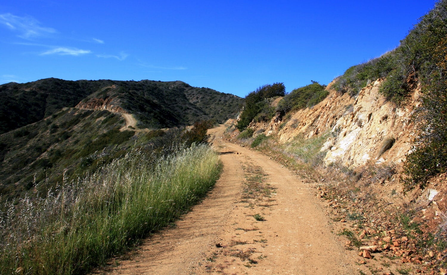
Many visitors to the island wish to hike the Trans Catalina Trail, a 38.5-mile trail that weaves through the island’s interior and coastal areas. The trail attracts hikers who wish to experience the full glory of the island—as opposed to staying down in Avalon like many of the tourists who frequent the island tend to do. Here’s what to know about the trail before beginning.
Plan for a 4-5 Day Thru-Hike
This is nearly a 40-mile hike, not a day hike, walk in the park, or even a single, overnight stay. This is a backpacking trip into the wilderness, into exposure to the elements, and into the most grippingly beautiful parts of Catalina Island. Being prepared for a trek of this length means having the proper hiking boots, ample food, water, and a cozy tent and sleeping bag depending on the time of year (though better safe than sorry). Many hikers choose to stop for food and drink at the Airport in the Sky (the one & only restaurant in Catalina Airport). The next food-stop from there will be in Two Harbors. Consider these options to lessen pack load.
The trail-head for the Trans Catalina Trail is located in Avalon, at the Conservancy’s Trailhead visitor center. Be sure to stop in for a permit, which you’ll need in order to stay at the many available campgrounds along the trail (more on that soon).
Prep for a Hilly Hike
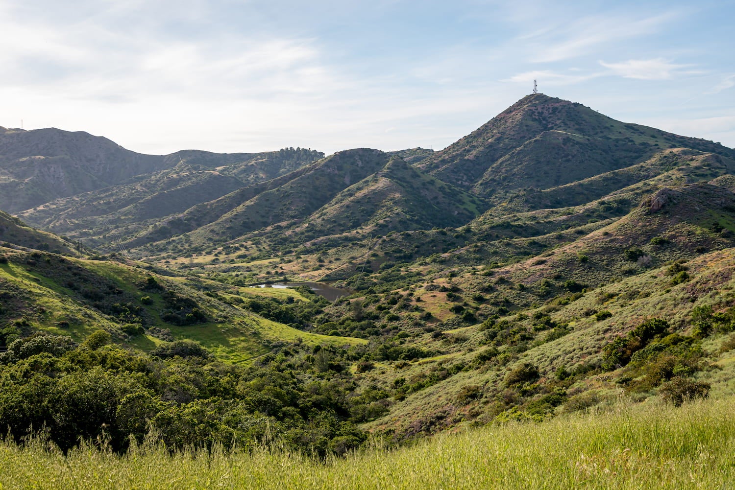
The difficulty level of this trail is definitely “hard.” It’s not a beginner’s hike and takes a good level of fitness to be completed (comfortably, at least). So if it’s been a while since you were on a big adventure, be sure to train a bit starting about a month or so in advance of your hike. The trail has a total of 8,202 feet of elevation gain!
Follow the Conservancy’s Trail Tips
- Be prepared. Essentials include proper hiking boots, a sun hat, sunscreen, and of course, water. Note that water is only available (on the trail) at: Haypress, Blackjack Campground, Little Harbor Campground, the Airport, the Isthmus, and Parson’s Landing if arranged.
- Remember to obtain a hiking permit before beginning the hike.
- Carry a map and be mindful of the mile markers along the way.
- There’s cell service on most of the trail, so call 911 in the case of an emergency.
- Arrange a check-in time with friends or family back on the mainland, so they know when things might not be going as planned.
- Rattlesnakes, which are native to the island, commonly reside on or under warm rocks. Be wary of them.
- When encountering bison (which will happen!), move slowly around them, keeping at least 150 feet away.
Camping Along the Trans Catalina Trail
Much of the camping along the Trans Catalina Trail is worthy of mention. Some of the spots certainly take full advantage of the incredible scenery around you. On the trail, hikers find campgrounds ranging from private and primitive, to those with amenities that keep you closer to civilization.
Blackjack Campground
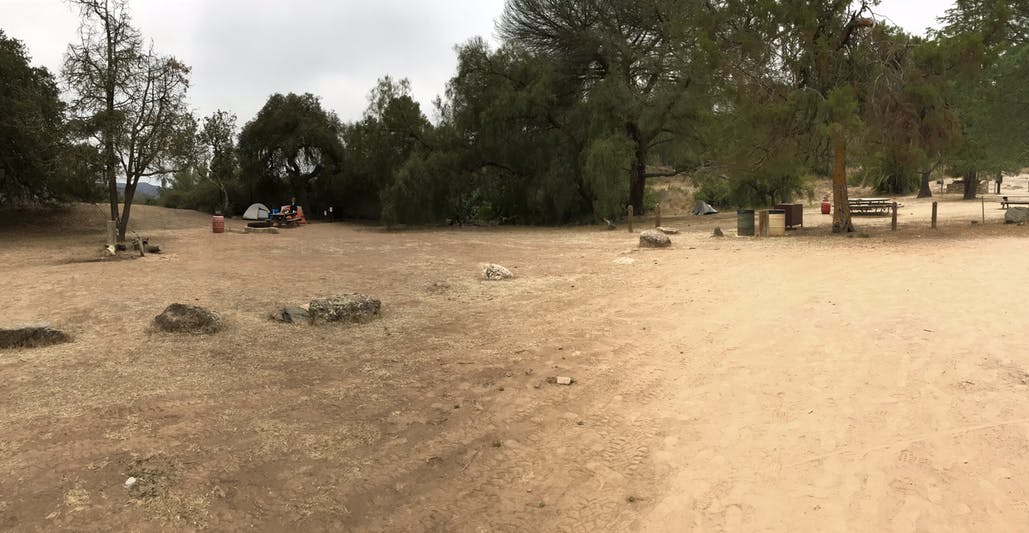
Image from the Dyrt camper Leasa W.
There’s actually a second trailhead out of Avalon that begins in the Hermit Gulch Campground, in Avalon Canyon. Many hikers who take this trailhead decide to stay at the Blackjack Campground—via the Hermit Gulch Trail. This campground features a pretty stunning wooded and remote area that provides water for hikers and plenty of space for tent set-up. Each spot contains a picnic table and a fire ring. Also, note that there is a shared bathroom in the campground. Pets allowed!
“Inland campground on Trans Catalina Trail, shaded and cool temps. Located approximately 11.5 miles from Avalon on the Trans Catalina Trail (TCT). The campground is inland and well shaded with larger trees. Very remote and quiet feeling.” — The Dyrt camper Leasa W.
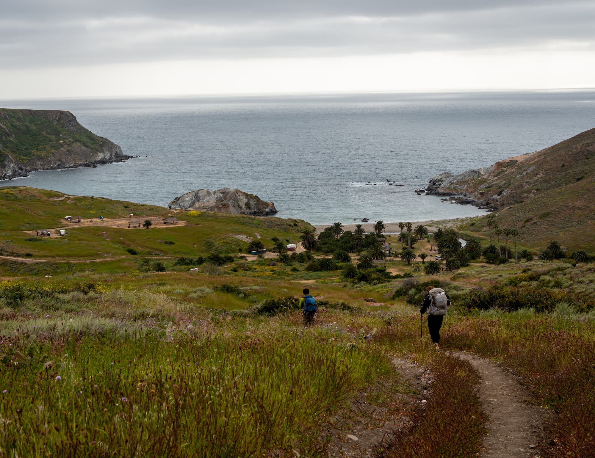
Little Harbor Campground
After a night at Blackjack Campground, hikers continue their journey on the trail, traversing Cottonwood Canyon and passing by some fascinating remnants from the Tongva people. Ultimately you’ll come across Little Harbor Campground, a perfect ending spot to set up camp for another night. Little Harbor is easily a favorite among Trans Catalina Trail hikers. The campsites are right on the beach in a beautiful cove and the place is very remote, private, and peaceful. The grounds contain tent sites only, fire rings, and picnic benches.
“Such a beautiful campground, and if you’re lucky enough (like we were) you may get the whole place to yourself. The beach is beautiful, and there’s nothing like the sunsets here.” — The Dyrt camper Morgan F.
Two Harbors Campground
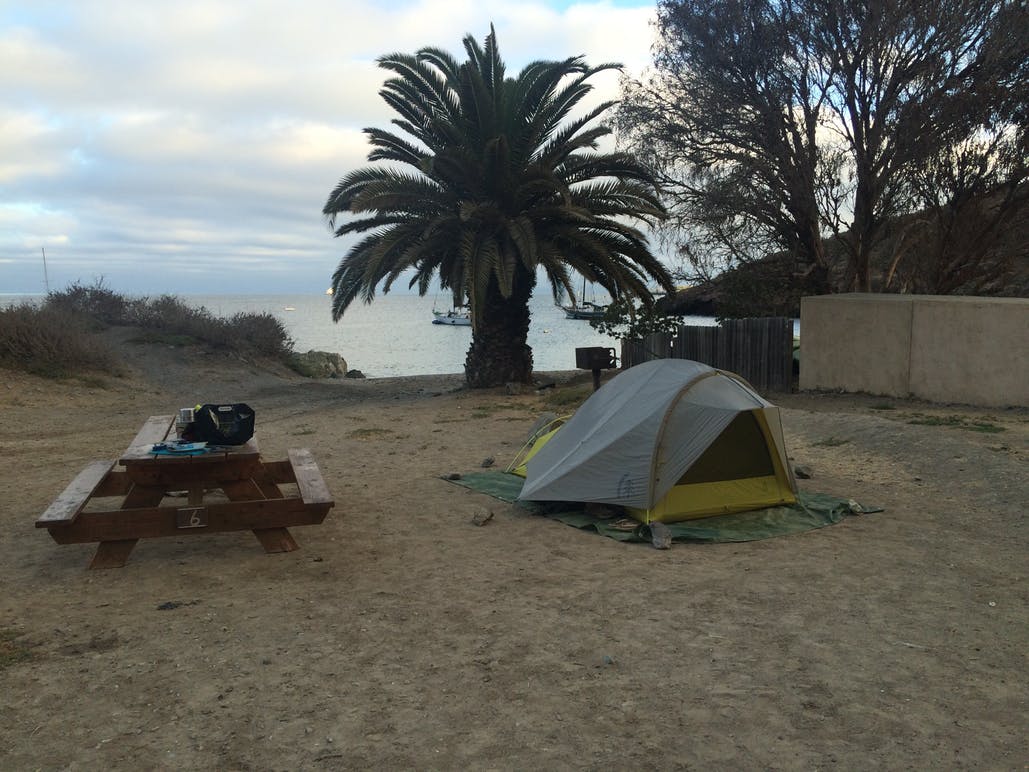
Image from the Dyrt camper Mandy E.
Another great campground hikers will eventually reach on the trail is the Two Harbors Campground. A little less secluded and closer to civilization, the grounds even have views of the harbor at Avalon. The campground also includes amenities like drinking water, toilets, showers, and a market.
“I am glad we pitched in a tent instead of paying for the high price hotels in town. The campground has toilets, running water, and showers. You can hike back in town which is about 1/4 miles away from the site.” — The Dyrt camper Roland B.
Parson’s Landing Campground
Last, but definitely not least, is Parson’s Landing Campground—some primitive beach camping on the 30-mile mark of the trail. Journeyers can only reach this spot via kayak or miles of hiking. It’s a peaceful beach spot, which campers on The Dyrt describe as “a special place and a trip you will never forget!” The grounds contain 8 primitive camping sites equipped with picnic benches, fire rings, and lockers that may be filled with water and firewood. Reservations are required to reserve a spot, and to get the key for the water/firewood lockers.
“If you can go, go! Parson’s Landing is a super unique campground. I would say it’s the only TRUE beach camping I’ve ever been able to find.” — The Dyrt camper Kate W.
The Dyrt is the only camping app with all of the public and private campgrounds, RV parks, and free camping locations in the United States. Download now for iOS and Android.Popular Articles:
Articles on The Dyrt Magazine may contain links to affiliate websites. The Dyrt receives an affiliate commission for any purchases made by using such links at no additional cost to you the consumer.