This article about the Arizona Trail is brought to you by Midland Radio, the leading makers of NOAA weather radios. These affordable emergency radios won’t break the bank and can be real life-savers during storms & natural disasters.
The brainchild of Flagstaff school teacher Dale Shewalter, the Arizona Trail stretches the entire length of Arizona; from the U.S.-Mexico border to Utah. Shewalter had always dreamed of hiking the Appalachian Trail. But while he was saving up money to pursue the hike, he discovered the beauty of Arizona’s Sonoran desert. The Arizona landscape inspired him to create a long-distance trail of his own, in his adopted state.
Traverse the Best of the Southwest on the 800-Mile Arizona Trail
Dale eventually walked from the Mexico border all the way to the Utah state line, to explore the feasibility of such a trail. He then spent the rest of his life lobbying state and federal agencies to create the trail. His dream became a reality when the Arizona Trail was designated a National Scenic Trail in 2009. Unfortunately Dale passed away in 2011, two years before the trail was officially completed.
Arizona Trail Overview
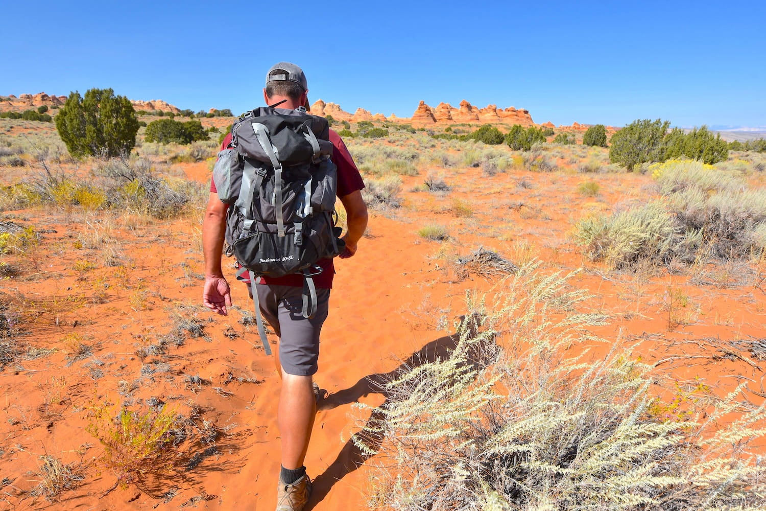
The Arizona Trail stretches for 800 miles across Arizona’s cactus-studded deserts, snow-capped peaks, rocky canyons, and aspen-filled forests. The trail is divided into 43 segments, or passages, ranging from 8 to 33 miles long. The trail begins in the Huachuca Mountains near the Arizona-Mexico border and then winds north through Saguaro National Park. It continues through destinations like the Catalina Mountains, Tonto National Forest, the San Francisco Peaks, and the Grand Canyon, before reaching the Utah border.
No motorized travel is allowed on the trail—hiking, trail running, mountain biking, and horseback riding are your only options. The route is extremely challenging and involves steep elevation changes, extreme temperature changes, and risks of flash flooding. Water is scarce in the Arizona desert, so finding reliable water sources is the biggest challenge you’ll face. Luckily, the Arizona Trail Association provides current water availability information on their website.
How to Thru-Hike the Arizona Trail
The Arizona Trail is typically hiked from south to north and takes hikers, on average, 6-8 weeks to complete the entire trail. Each year more long distance hikers are discovering the trail, but on average only around 100 hikers complete the trek each year. Each individual that completes the trail, whether as a thru-hike or one section at a time over a year or more, is listed on the Arizona Trail finishers list.
The Arizona Trail Association website provides excellent information on resupply options including grocery stories, lodging options, and post office locations along the trail. One of the great things about the Arizona Trail is the convenient access to towns along the way. Towns are spaced out nicely so you shouldn’t need to carry more than five days of food at a time.
The Arizona Trail begins from the Montezuma Pass Trailhead in the Coronado National Memorial. The trailhead is actually 1.8 miles after the official start of the trail. That’s because the actual start of the trail cannot be accessed by car. From Montezuma Pass, you need to hike 1.8 miles to the Mexican border and then return the way you came to make it official. Shuttle service to the Montezuma Trailhead is available from the Tucson airport and various locations throughout southern Arizona.
The northern terminus of the trail is equally remote. Shuttle service on this end is available from Page, Flagstaff, the Grand Canyon, and Kanab, Utah. The trailhead is located 10 miles down an unmarked dirt road. It sits midway between Kanab and Page, and is known as House Rock Valley Road. A free BLM campground, the Stateline Campground, is located adjacent to the trailhead.
Camping Along the Trail

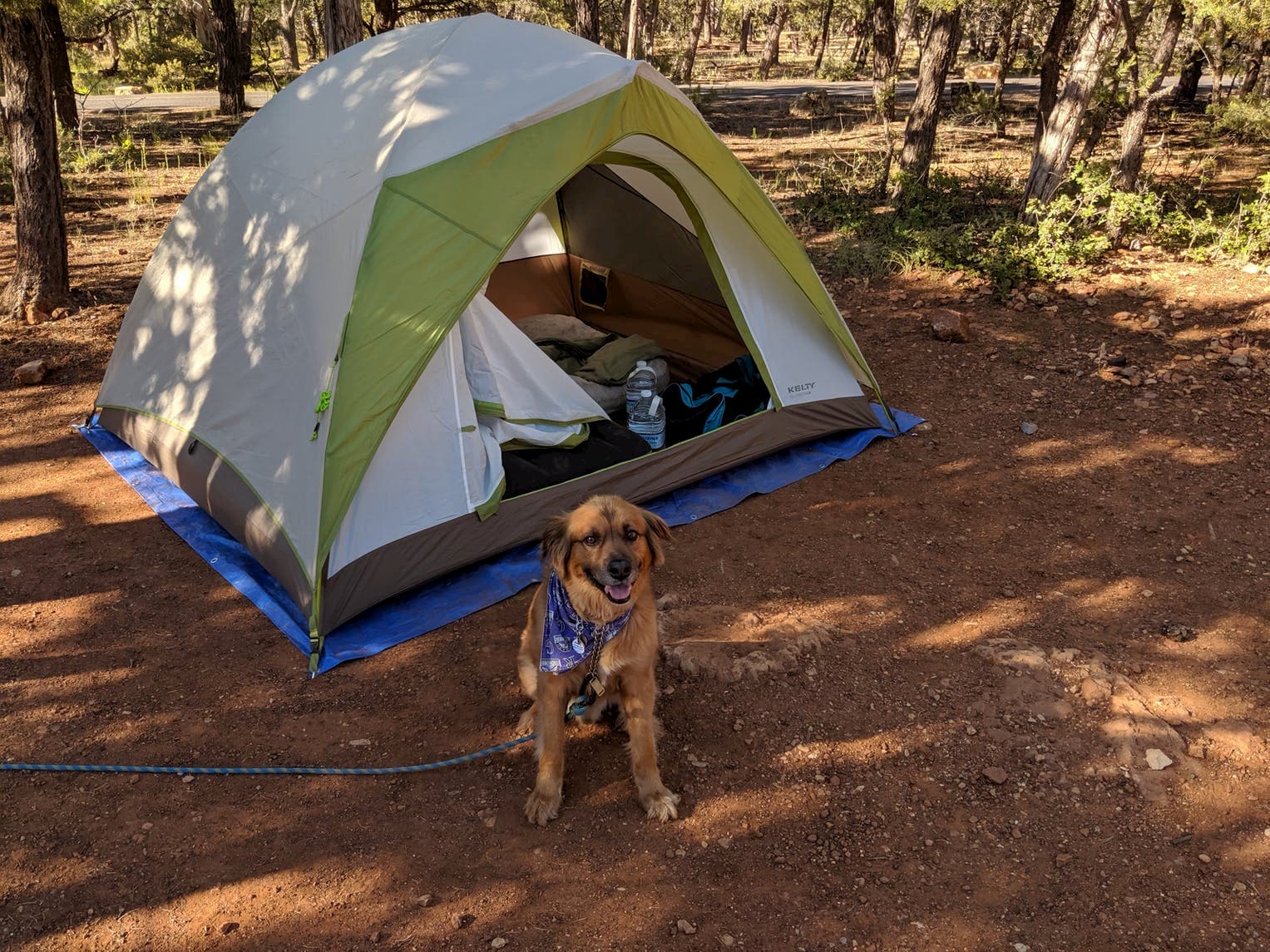
Image from The Dyrt camper Mike M.
Much of the Arizona Trail passes through National Forests and other public lands where camping in Arizona is free. Camping permits are required in Colossal Cave Mountain Park, Saguaro National Park, and Grand Canyon National Park. Reservations can be obtained in advance online and over the phone. Plus, rangers are always happy to help thru-hikers find a spot for the night.
Some thru-hikers avoid the hassle of obtaining permits in the parks by camping outside the park boundaries. Then they try to pass through the park in one day, to avoid the fees. This can be challenging in the Grand Canyon, given the vastness of the park. However, there are several Grand Canyon camping options that can be reserved in advance.
Most thru-hikers stay at the Mather Campground on the South Rim. Conveniently, a park shuttle is available from the trail to Mather Campground. A permit is also required to spend a night below the rim, which is typically difficult to obtain. However, rangers are allowed to make special accommodations for thru-hikers.
Day Hiking the Arizona Trail

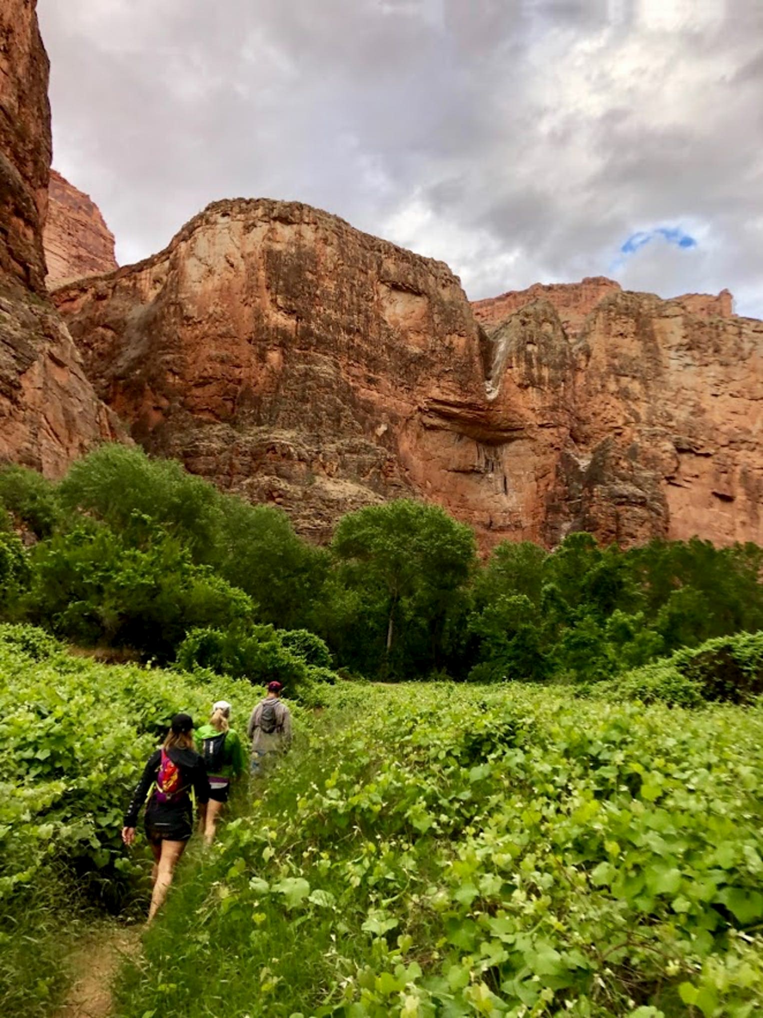
Image from The Dyrt camper Carly E.
If you don’t have the time nor the stamina, the Arizona Trail can be hiked in segments. This is a popular way to experience the trail in its entirety. In fact, some hikers have taken up to 6 years to complete the whole trail. Passage 28 is one of the most popular sections of trail and offers lush scenery, historic sites, and plenty of private camp spots. Day hiking parts of this trail is a great way to experience some of the beautiful region around the trail while also having the time for other popular Arizona hikes, such as Havasu Falls, Humphrey’s Peak, or Antelope Canyon. However you decide to attack the trail, there are plenty of ways to do it and plenty of sights to see along the way.
Due to COVID-19 concerns, The Arizona Trail Association has released a notice for anyone planning a long-distance hike or ride on the Arizona Trail as of March 16, 2020 and find more info here.
This article was brought to you by Midland Radio.
Popular Articles:
Articles on The Dyrt Magazine may contain links to affiliate websites. The Dyrt receives an affiliate commission for any purchases made by using such links at no additional cost to you the consumer.


