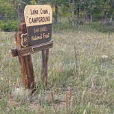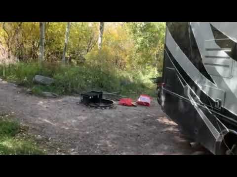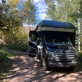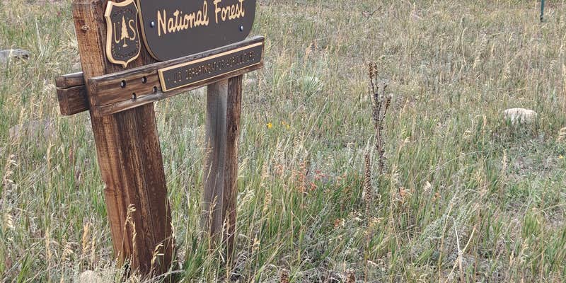
With water and sewer hookups available, Lake Creek Campground provides developed camping within San Isabel National Forest from May through September. The Forest Service facility features drinking water and restrooms across its compact layout. A small creek runs directly through the campground, with several sites positioned right along the water.
Sites remain relatively close together but benefit from tall trees and dense vegetation that create natural privacy barriers between camping areas. The forested setting limits mountain views of the Sangre de Cristo range. Campers can explore additional camping spots outside San Isabel National Forest or check out Cloverdale Mines Dispersed Area less than a mile south for a different camping experience.
Description
Overview
This location is available on a first-come, first-served basis only. Visitors are required to physically arrive at the campground to purchase and claim a site. Once on-site, you may be able to pay for your campsite(s) by scanning a QR code using the Recreation.gov mobile app, and the Scan and Pay feature. If this option is available, you will need to first download the free Recreation.gov mobile app https://www.recreation.gov/mobile-app prior to your arrival as some remote areas have limited or no cellular service.
Facilities
Lake Creek Campground is a small, shaded campground with abundant trees. There are 11 campsites, with some streamside sites.
Contact Info
For facility specific information, please call (719) 489-2034.
Warning 1 Alert is In Effect
There is 1 alert for this campground. Camp safely!
Warning 1 Alert is In Effect
There is 1 alert for this campground. Camp safely!
PIKE-SAN ISABEL NATIONAL FORESTS & CIMARRON AND COMANCHE NATIONAL GRASSLANDS** STAGE 1 FIRE PROHIBITIONS **** PROHIBITIONS**Pursuant to 16 U.S.C. 551 and 36 C.F.R. 261.50(a), the following are prohibited on the National Forest System (NFS) in the Leadville, Salida, San Carlos, Pikes Peak, South Park and South Platte Ranger Districts of the Pike-San Isabel National Forests & Cimarron and Comanche National Grasslands, described below and shown on the attached map incorporated into this Order as Exhibit A, hereinafter referred to as the Described Area:
- Building, maintaining, attending, or using a fire (including fires fueled by charcoal or briquettes), except if it is in
- A permanent metal or concrete fire pit or grate that the U.S. Forest Service has installed and maintained at its developed recreation sites (campgrounds and picnic areas);
- A device solely fueled by liquid or gas that can be turned on and off used in an area barren or cleared of all flammable materials within three feet of the device; or
- A fully enclosed metal stove with a chimney at least five feet in length and a mesh screen spark arrestor with a screen opening of a inch or less used in an area that is barren or cleared of all flammable materials within 10 feet of the device.36 CFR 261.52(a).
- Using an explosive. 36 C.F.R. 261.52(b)
- Smoking is prohibited, except in an enclosed vehicle or building, a developed recreation site, or while stopped in an area at least three feet in diameter that is barren or cleared of all flammable materials. 36 CFR 261.52(d)
- Welding, or operating acetylene or other torch with open flame, except if in a cleared area of at least 10 feet in diameter and a chemical pressurized fire extinguisher (with a minimum 8 oz. capacity and rating of Class 2A) is kept with the operator. 36 CFR 261.52(h) EXEMPTIONS Pursuantto36 C.F.R.261.50(e), thefollowingpersons areexemptfrom thisOrder:
- Persons with Forest Service Permit No. FS-7700-48 (Permit for Use of Roads, Trails, or Areas Restricted by Regulation or Order), specifically exempting them from this Order or a written determination by a Forest Service authorized officer that a permit is not required under 36 C.F.R. 251.50(e)(1) or (2).
- Any Federal, State, or Local Officer, or member of an organized rescue or firefighting service in the performance of an official duty. DESCRIBEDAREA All National Forest System lands, roads, and trails within the exterior boundaries of the Pikes Peak, South Platte, South Park, Leadville, Salida and San Carlos Ranger Districts of the Pike-San Isabel National Forests & Cimarron and Comanche National Grasslands, as depicted on the map attached as Exhibit A of this Order. PURPOSE Thepurposeof this Order is to protect natural resources and public health and safety. IMPLEMENTATION
- This Order shall be in effect from August 21, 2026, at 12:01 a.m. through August November 14, 2026, at 11:59 p.m., unless rescinded.
RV Road Trip Guides


Map & DirectionsLake Creek Campground is located in Colorado near Hillside
 Public Campground
Coordinates
38.264137 N
105.65969 W
Connectivity
 T-Mobile5GExcellent CoverageVerified by 1 userLast on 9/15/26
 VerizonLTESome CoverageVerified by 3 usersLast on 9/15/26
- AT&T5GExcellent CoverageVerified by 2 usersLast on 4/8/26
Connectivity
- T-Mobile5GExcellent CoverageVerified by 1 userLast on 9/15/26
- VerizonLTESome CoverageVerified by 3 usersLast on 9/15/26
- AT&T5GExcellent CoverageVerified by 2 usersLast on 4/8/26
Access
- Drive-InPark next to your site
Site Types
- Tent Sites
- RV Sites
- Standard (Tent/RV)
Features
For Campers
- Phone Service
- Drinking Water
- Toilets
- Alcohol
- Pets
For Vehicles
- Sewer Hookups
- Water Hookups
Drive Time
- 1 hr 23 min from Pueblo, CO
- 1 hr 44 min from Colorado Springs, CO
- 2 hrs 36 min from Denver, CO
- 2 hrs 59 min from Boulder, CO