Pendleton to Oregon City is the last Oregon Trail stretch in Oregon, from wheat country and river flats into waterfall country and the Willamette Valley. The modern route tracks the Columbia River west on I-84, then swings south on I-205 to Oregon City, where many wagon trains finished their overland trip. Along the way you pass The Dalles and Hood River, so it is easy to add a museum and a short hike.
Give this segment 2 days for a pace with hikes and museum time. One night in the Columbia Gorge sets you up for a waterfall morning and an easy finish into Oregon City. For the full route, see the complete Oregon Trail road trip overview.
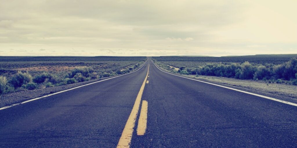
Pendleton to Oregon City Road Trip Overview
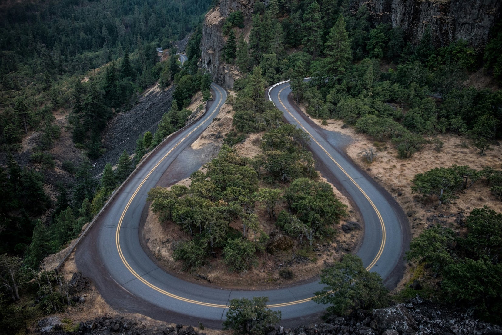
Drive west from Pendleton, and you will settle into the Columbia River corridor, with steady services in towns and resupply options in The Dalles and Hood River. Past The Dalles, the canyon closes in, winds pick up, and the Historic Columbia River Highway becomes a worthwhile parallel route for viewpoints and waterfall stops. Late spring through early fall is the easiest season for camping, while winter storms and summer wildfire smoke can change plans fast.
Quick Stats for Pendleton to Oregon City
| Stat | Details |
|---|---|
| Total distance | About 217 miles |
| Estimated drive time | About 3.5 to 4 hours, without stops |
| State | Oregon |
| Primary routes | I-84 W, I-205 S |
| Recommended duration | 2 to 3 days |
| Cell service | Usually strong near towns, less reliable at some trailheads |
| Fuel stops | Pendleton, Umatilla, Arlington, Biggs Junction, The Dalles, Hood River, Cascade Locks, Troutdale, Oregon City |
Day by Day Pendleton to Oregon City
Day 1: Pendleton to Cascade Locks on I-84
Mileage and drive time: About 167 miles, around 2 hours 45 minutes of driving. Stay on I-84 W for the mainline route, and expect crosswinds along the river, especially if you are towing.
Morning stops: Start at Tamástslikt Cultural Institute for a tribal perspective on westward expansion, and plan around posted hours (Tue-Sat, 10 a.m. to 5 p.m.). Then top off fuel and groceries in Pendleton before you roll into longer highway stretches. If you need a riverfront break, Umatilla has parks and a marina near the interstate.
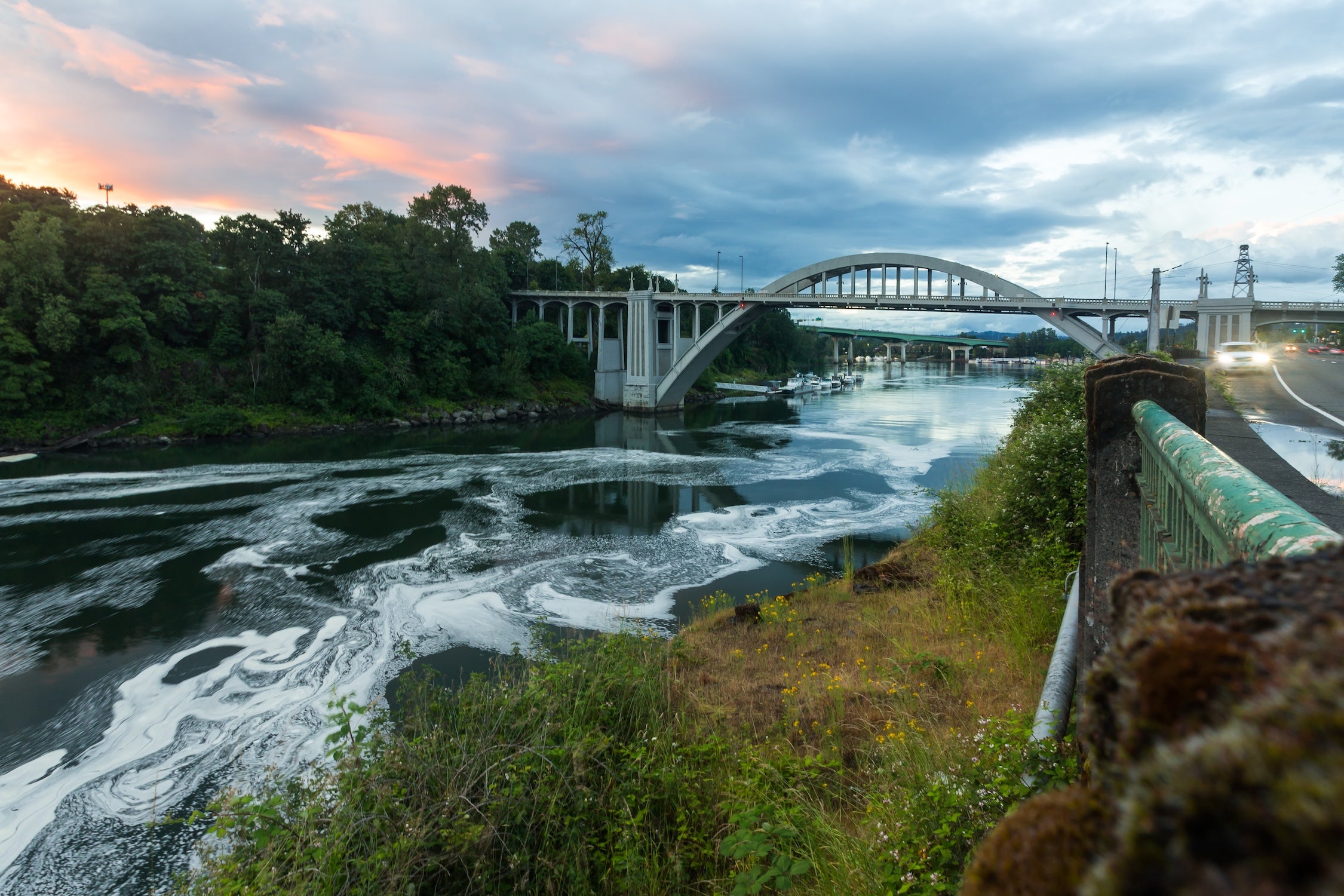
Afternoon plan: Use The Dalles as a resupply hub, then take US-30 up to Rowena Crest Overlook to walk off the drive. Tom McCall Preserve trails start from the same area, including the 2.6-mile Plateau Trail loop and a 4-mile out-and-back to McCall Point. Overnight in Cascade Locks at Ainsworth State Park Campground (4.0/5), or keep a private backup like a KOA in mind if sites are full. Detour: take US-30 west past Hood River, add about 30 minutes.
Day 2: Cascade Locks to Oregon City Finish
Mileage and drive time: About 50 miles, roughly 1 hour of driving. The mileage is short, but parking and short hikes can take longer than the drive itself.
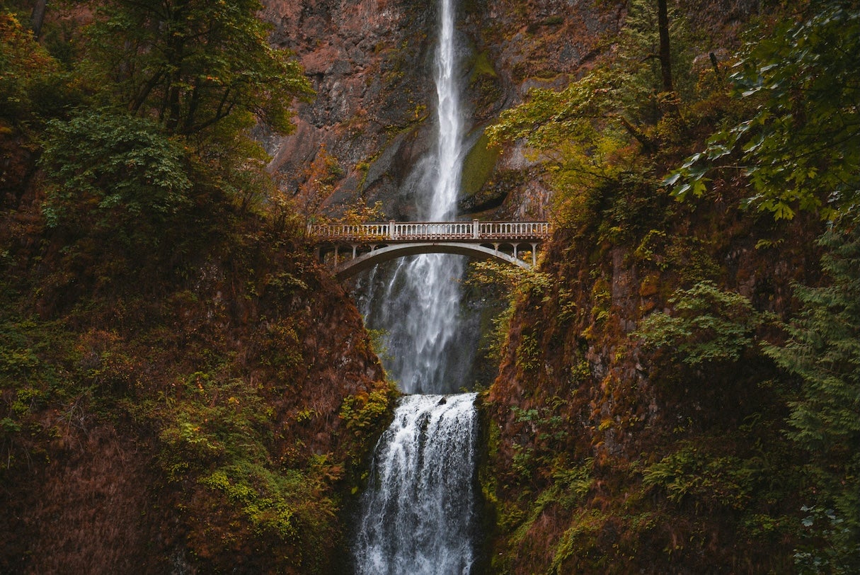
Morning stops: Hit Multnomah Falls early, the U.S. Forest Service hike to the top is 2.4 miles round trip with about 600 feet of elevation gain on steep, uneven trail. In recent summers, the I-84 Exit 31 lot has required timed-use permits during peak dates, so check current rules before you lock in a schedule.
Afternoon plan: For another waterfall hike, Wahclella Falls Trail is about 2.4 miles out and back near Bonneville Dam, and Horsetail Falls is a quick roadside stop with a short climb to Ponytail Falls. Merge back onto I-84 in the west Gorge, resupply in Troutdale, then take I-205 S into Oregon City and finish at the End of the Oregon Trail Interpretive Center. For current hours and admission, see End of the Oregon Trail hours and admission. Detour: take the historic highway to Vista House, add about 20 minutes.
Campgrounds Along the Columbia Gorge Route
Pendleton KOA (4.0/5) is a convenient first night near town when you want hookups, showers, and an easy supply run. It works best as a one-night reset before the Gorge.
Umatilla Marina & RV park (4.0/5) sits on the Columbia with room to stretch out after a driving day. Expect hookups, showers, and access to the marina for boating and shore fishing.
Deschutes River State Recreation Area (4.5/5) is a smart mid-route option near Biggs Junction, with multiple loops and good river access. Train noise is common, so pack earplugs if you are a light sleeper.
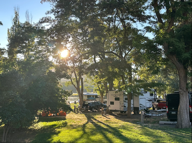
Ainsworth State Park Campground (4.0/5) is the overview pick for this segment, and it keeps you close to major waterfall stops. Expect showers and noticeable train traffic at night.
Port of Cascade Locks Campground (4.0/5) is an in-town option near the Bridge of the Gods with a small number of sites, some with water and power. It is a solid backup when Ainsworth is full.
Oxbow Regional Park (4.5/5) is a close-to-Portland camp when you want a forest setting and hot showers. Dogs are not allowed, so plan ahead.
Milo McIver State Park Campground (4.5/5) sits along the Clackamas River near Estacada, close enough to Oregon City for an early finish. It is a good choice for bigger sites, river walks, and disc golf.
Best Stops Between Pendleton and Oregon City
Natural highlights
Rowena Crest Overlook links to Tom McCall Preserve, with a 2.6-mile Plateau Trail loop and a 4-mile out-and-back to McCall Point. Multnomah Falls can stay short, or turn into a 2.4-mile hike to the upper viewpoint.
Cultural and historic sites
Tamástslikt Cultural Institute is open Tue-Sat, 10 a.m. to 5 p.m., with adult admission listed at $12. In Oregon City, the End of the Oregon Trail Interpretive Center connects the final miles to the Barlow Road route around Mount Hood.
Outdoor recreation
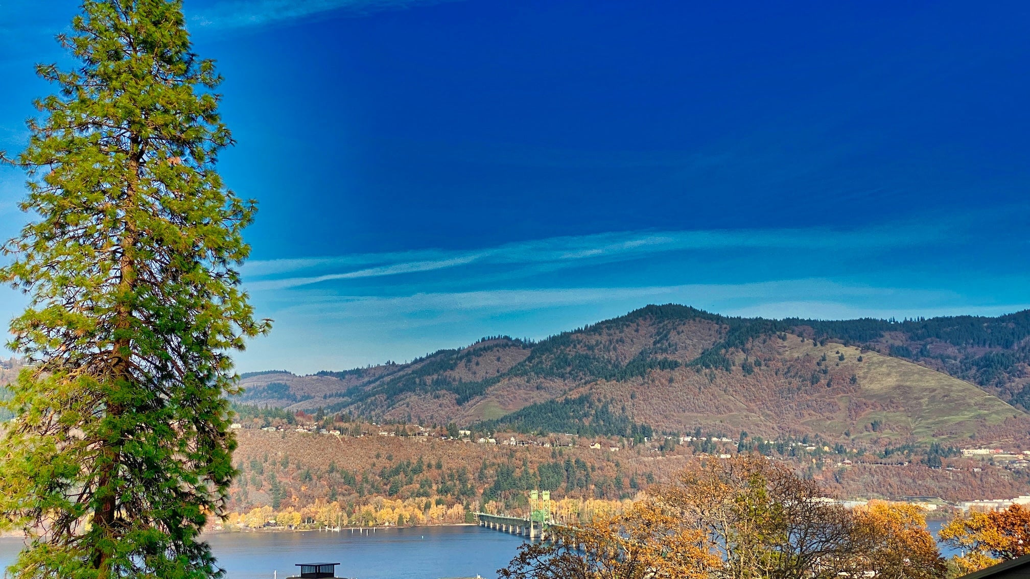
Hood River is a good place to watch water sports from shore on windy days. The Mosier Twin Tunnels segment is a paved 4.5-mile path between Mosier and Hood River.
Unique stops
Crown Point Vista House is a 1917 landmark on the historic highway, and it can close for high winds or icy conditions. For more Oregon Trail context, see The Oregon Trail road trip guide.
Travel Tips for I-84 to Oregon City
Fuel is rarely a problem on this stretch, but some exits only have one option. Fill up in Pendleton or Umatilla, and again in The Dalles or Hood River, before you commit to a full Gorge day with lots of stopping and starting. Hospitals are in Pendleton, The Dalles, Hood River, and Oregon City.
Train noise is part of camping near the Columbia, and it shows up at many riverfront campgrounds. If Multnomah Falls is on your list, check ODOT Multnomah Falls timed-use permit updates for peak-season rules, and keep an alternate waterfall stop in mind if the lot fills. For current park details and seasonal openings near Cascade Locks, see Ainsworth State Park.
More Oregon Trail Road Trip Resources
This segment is one leg of the whole route. Start with the full Oregon Trail road trip itinerary to stitch the pieces together, then use The Dyrt reviews to compare campsites and keep backups. If you rely on offline navigation, The Dyrt PRO helps when coverage drops and you need offline maps.
The Dyrt is the only camping app with all of the public and private campgrounds, RV parks, and free camping locations in the United States. Download now for iOS and Android.Popular Articles:
Articles on The Dyrt Magazine may contain links to affiliate websites. The Dyrt receives an affiliate commission for any purchases made by using such links at no additional cost to you the consumer.