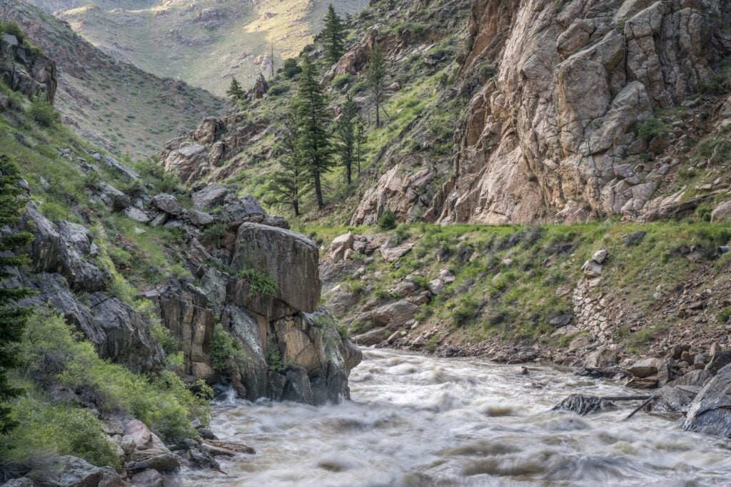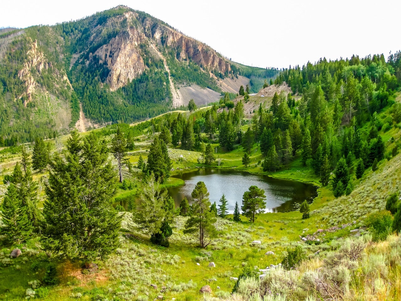
This segment covers roughly 680 miles of the TransAmerica Trail from Missoula, MT through Yellowstone National Park and the Absaroka Mountains to Rawlins, WY. This rugged segment crosses the Continental Divide at Lost Trail Pass (7,014 ft) and winds through dense forests, high alpine valleys and open sagebrush plains. You’ll pass the historic mountain town of West Yellowstone and enter Yellowstone National Park’s geyser basins before heading south through Shoshone National Forest and the Wind River Range. Major highlights include Yellowstone’s geothermal features and wildlife, the scenic winding roads of Shoshone NF, and frontier towns like Cody and Lander. See our complete TransAmerica Trail overview for context on the full coast-to-coast route; here we focus on this Montana–Wyoming portion of the journey.
Segment overview
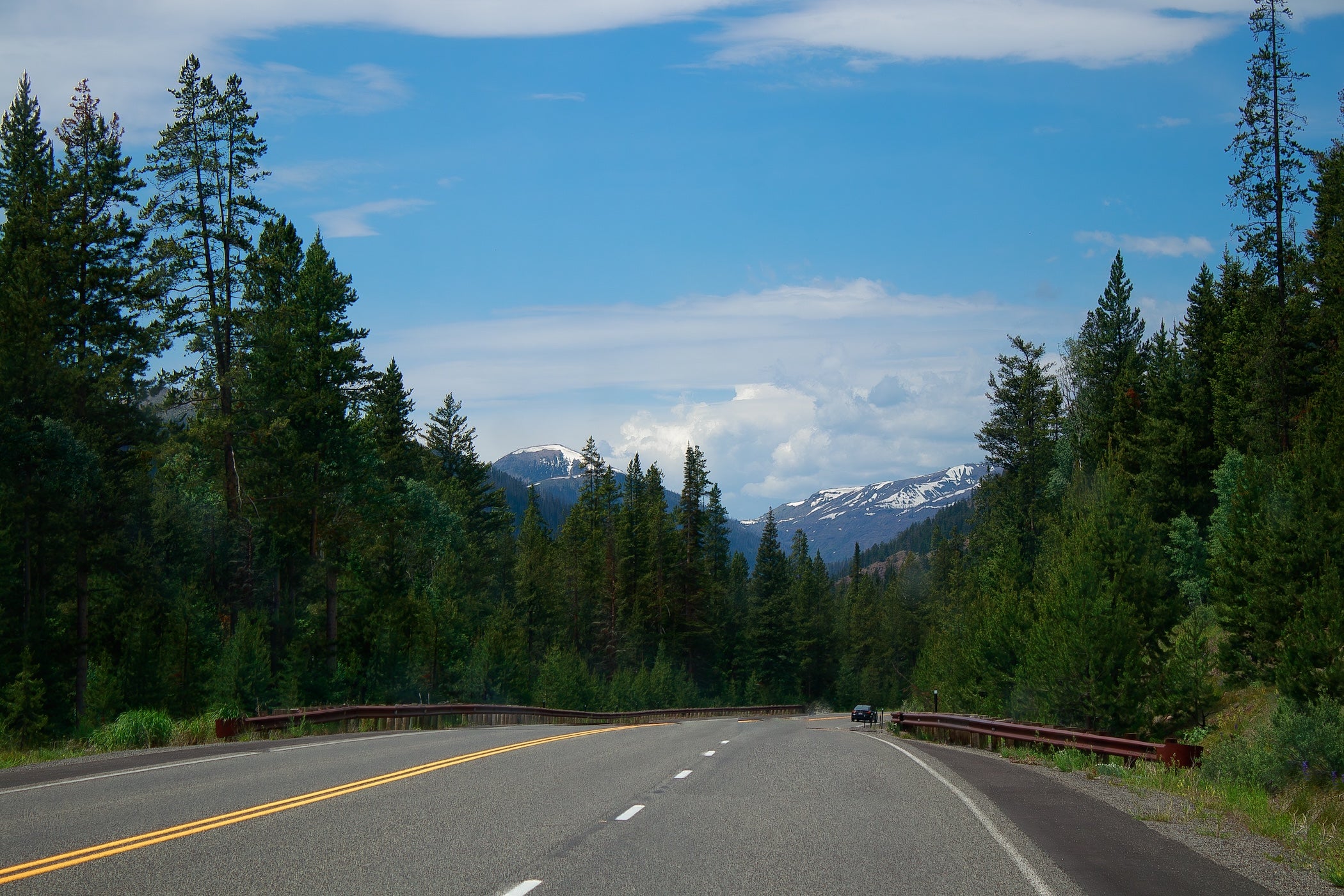
Expect a mix of paved highways and graded gravel backroads. In Montana you’ll follow U.S. 93/US‑12 through the Bitterroot Valley, then cross Lost Trail Pass into Idaho before re‑entering Montana toward West Yellowstone. From there, the route continues on Yellowstone’s Grand Loop Road (seasonally closed Nov–Apr) across high passes to the park’s east side, then heads south along U.S. 14/16/20 through Shoshone National Forest. You’ll traverse high country (e.g. Togwotee Pass at 9,658 ft) and the arid Great Divide Basin in southern Wyoming before reaching Rawlins. Seasonal travel is key: many Yellowstone and Teton Park roads shut down in winter. Summer (July–Sept) offers long days, wildflowers and active wildlife, but afternoon thunderstorms and high-elevation snow can occur. Cell service is spotty in wilderness stretches, and fuel/grocery stops are sparse between towns.
Quick stats
| Total Distance | ~680 miles Est. drive: ~25 hrs (no stops) |
| States | Montana, Wyoming |
| Main roads | US‑93, US‑287, WYO‑28 |
| Cell | Spotty in remote areas |
| Fuel/towns | West Yellowstone, Cody, Dubois, Lander, Rawlins (~100 mi gaps) |
Day-by-day suggestions
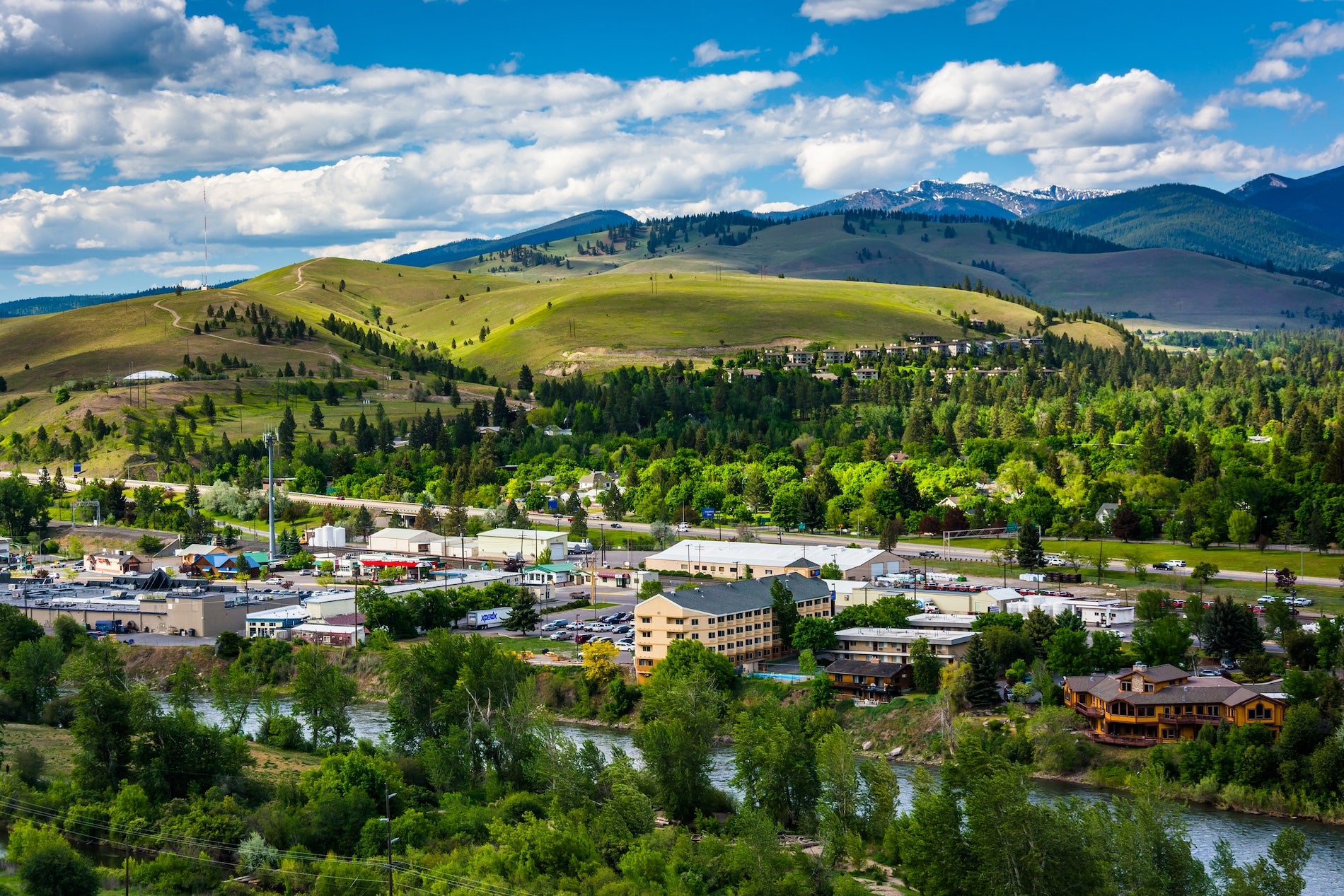
Day 1 – Missoula, MT to West Yellowstone, MT
Start in Missoula (riverfront trails, farmers market), then drive US‑93 south through Hamilton and Darby. Stop at Lolo Hot Springs or the Bitterroot Valley overlook. Climb MT‑38 over Lost Trail Pass into Idaho (7014 ft) and continue south through forests. Re‑enter Montana toward Wisdom or Bannack (historic mining town detour), then head east on US‑287/US‑20 to West Yellowstone. Total ~180 mi, 4–5 hrs drive. Fuel in Missoula or Hamilton; supper in Darby or Butte. Camp or stay in West Yellowstone (many lodges and RV parks).
Day 2 – West Yellowstone to Yellowstone East Entrance (Cody, WY area)
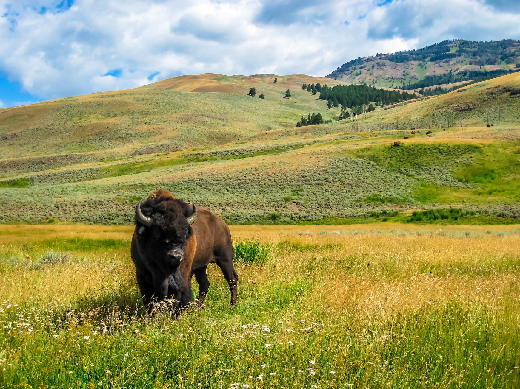
Explore West Yellowstone in the morning (Grizzly & Wolf Center, Yellowstone Heritage & Arts Center). Enter Yellowstone NP via the West Entrance and head for Old Faithful Geyser (parking, visitor center). Continue to the Grand Canyon of the Yellowstone (Artist Point views) and then out the northeast exit toward Cody (via Sylvan Pass and Wapiti Valley, open summer). Watch for bison and elk in Lamar Valley. This is ~150 mi from West to Cody with moderate highway driving, ~4–5 hrs. Gas up in West Yellowstone; limited services inside park. Overnight in Cody (Buffalo Bill Center of the West, nightly rodeo in season).
Day 3 – Cody to South Pass/Lander, WY
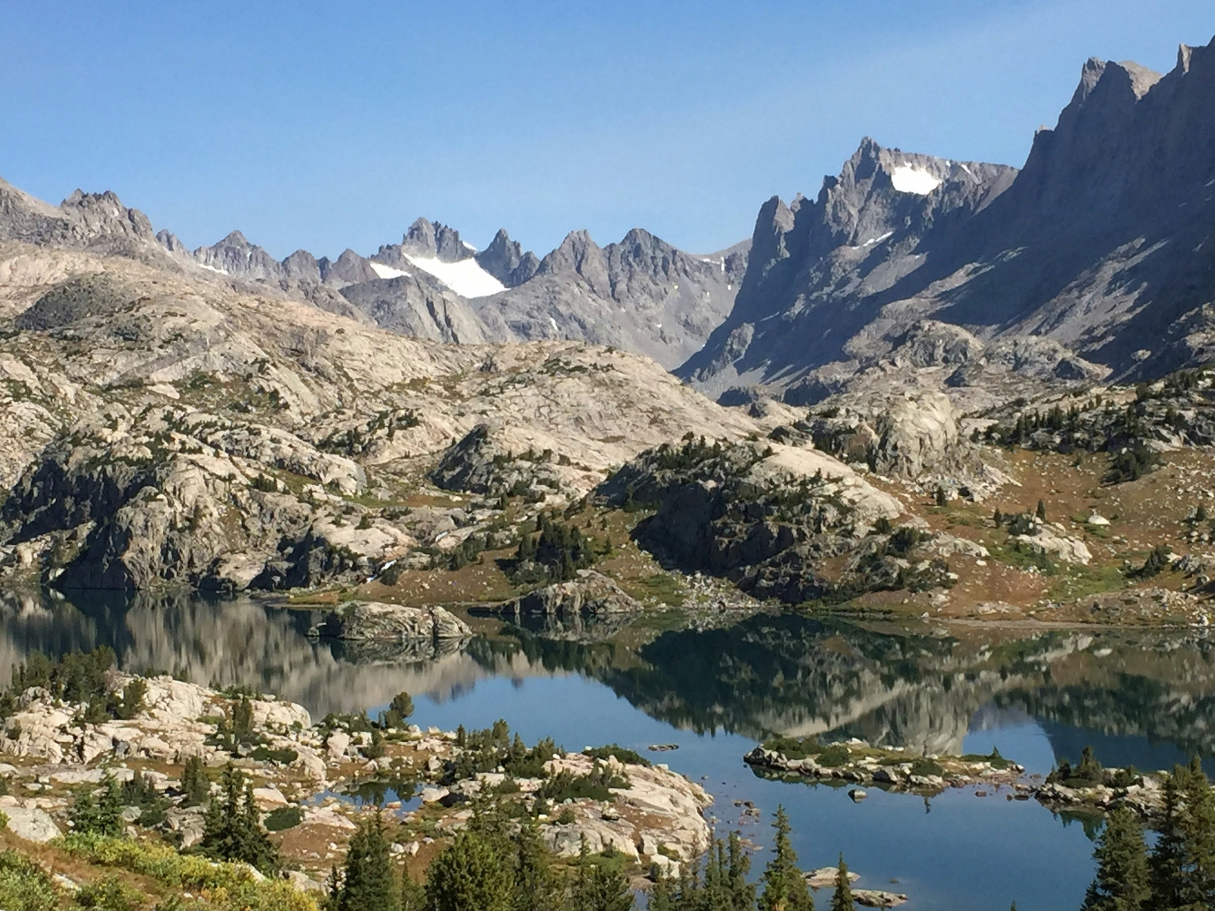
Morning in Cody (Museum or short hike). Head southwest on US‑14/US‑16 through Shoshone National Forest; consider a detour on the Chief Joseph Scenic Byway for dramatic canyons. Pass through Shoshone Cavern State Park (short cave hike). Continue to Dubois (gas, store), then south on WYO‑28 over South Pass (historic Oregon Trail landmark and mining ghost town). This drive (~130 mi) takes ~3–4 hrs. Camp near South Pass or Lander (hotels, campgrounds) and enjoy the sunset over the Wind River Range.
Day 4 – South Pass to Rawlins, WY
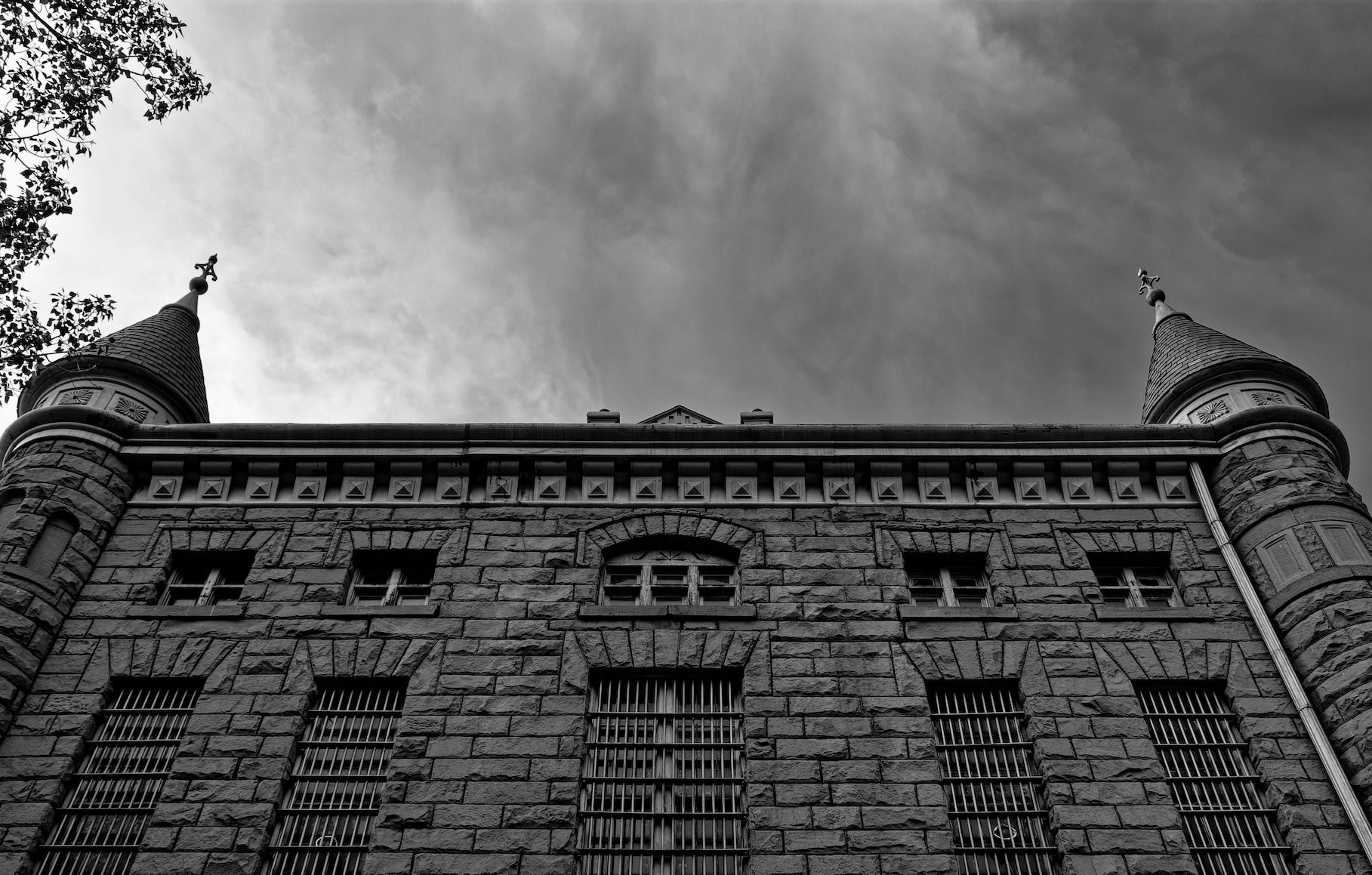
Continue on WYO‑28 through the remote Wind River Range foothills into the Great Divide Basin. Visit South Pass City State Historic Site (gold-mining ghost town museum). After Spencer or Fontenelle Reservoir, head east on Lincoln Highway (US‑287/WYO‑28) across high sage flats (note wind and dust). The final leg to Rawlins is ~150 mi (~3 hrs). Fill up in Lander or Rawlins (no services between). In Rawlins, top off supplies and consider visiting the Wyoming Frontier Prison museum. The end of this segment is in Rawlins, with interstate lodging and campgrounds nearby.
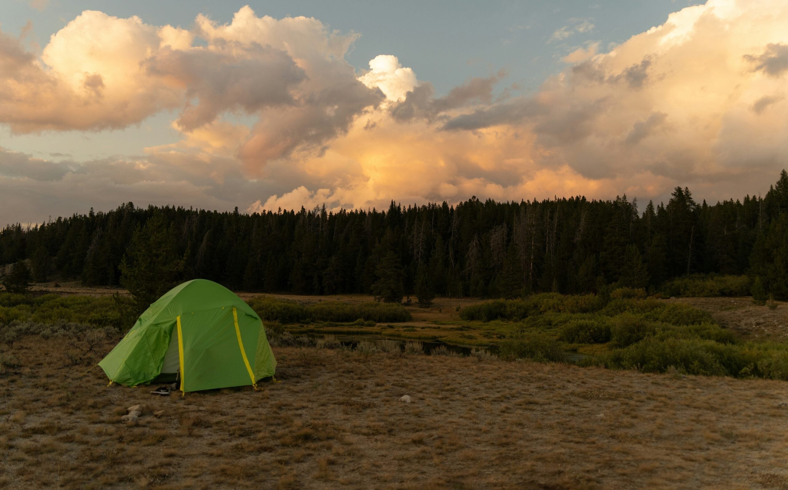
Campgrounds to consider
- Madison Campground (Yellowstone NP): Big-sites tent/RV campground near the Madison River confluence. No showers but bear boxes and a small ranger store. Excellent base for Yellowstone hikes (6,800 ft elevation, no cell). Reserve via park lodging site.
- Falls Campground (Dubois, WY): Shoshone national forest site on US‑26 near Gibbons Falls. Large loop with electric hookups on one side and primitive sites on the other. Close to Yellowstone (60 mi) and Grand Teton (35 mi) for quiet camping; watch for moose and elk.
- Horse Creek Campground (Dubois, WY): Small Shoshone NF group/tent site 12 mi north of Dubois (FS Road 285). Forested area along Horse Creek, great for fishing and stargazing. No hookups or water (primitive), so bring supplies.
- Encampment River Campground (Encampment, WY): BLM site ~40 mi west of Rawlins along the Encampment River. Eight shaded sites with picnic tables and a boat ramp. Fish for trout, hike nearby trails, or just relax by the riparian woods. Vault toilets only, no hookups.
- Dugway Campground (Hanna, WY): BLM campground ~10 mi NW of Rawlins along the North Platte River. Only five campsites, vault toilet, and a river take-out for rafters. Solitude is the main appeal – great place to wake up to river sounds. No water hookups (bring your own).
- Brooks Lake Campground (Dubois, WY): High-elevation (9,200 ft) Shoshone NF site near Dubois. Only 13 sites (bear lockers present) with cabin and mountain views. Fish Brooks Lake or hike Wilderness trails from camp; very scenic but bug spray recommended in summer.
Top activities & attractions
Yellowstone National Park
Don’t miss Old Faithful, Grand Prismatic Spring and Yellowstone Lake. Drive the Grand Loop to see geyser basins, the Grand Canyon of the Yellowstone and wildlife (bison, elk, bears) along the Madison and Yellowstone rivers. (Park entrance fee required.)
Grand Teton NP (optional detour)
If time allows, the main highway (US‑26/89/191) through Grand Teton NP provides stunning views of the Teton Range and access to Jenny or Jackson Lake. Scenic overlooks (e.g. Oxbow Bend) and park road hikes (Taggart Lake, Moose-Wilson Road) await; note that side roads often close in winter.
Buffalo Bill & Cody, WY
In Cody visit the Buffalo Bill Center of the West (museum complex) and catch the nightly summer rodeo. Nearby, historic Pahaska Tepee (Buffalo Bill’s hunting lodge) and the Shoshone River can be explored, or raft the Shoshone River’s class III rapids.
Chief Joseph Scenic Byway
A short detour on US‑296 (east of Cody) winds through Marbleton and gorgeous canyons. Look for Fall Creek Falls and Union Pass vistas. This alternate avoids highway traffic and rewards with dramatic mountain views.
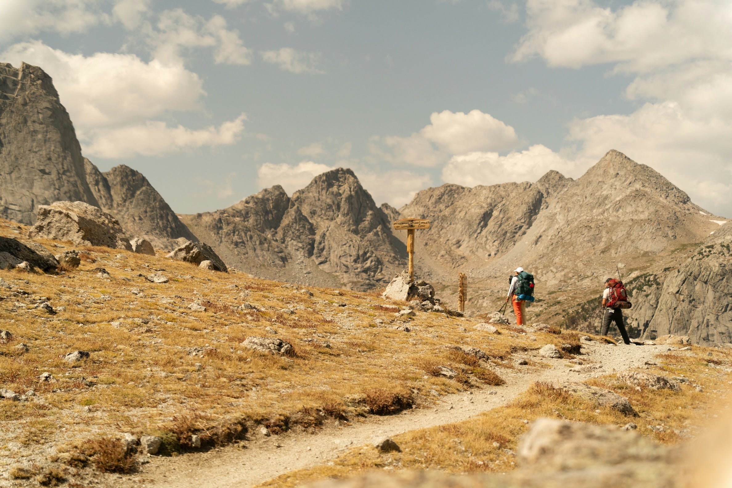
Shoshone National Forest
The vast Wind River Range provides hiking, fishing, and hot springs. Popular routes include Brooks Lake (near Dubois), Popo Agie Falls, and trails in the Fitzpatrick Wilderness. Wildlife here includes bighorn sheep, moose, and even wolves (rarely).
Historic South Pass City
Stop by this state historic site for a 1.5-mile interpretive loop through a preserved 1860s gold mining town. Picnic by the old saloon and see original buildings; it’s free to enter (donations suggested). Continue on to nearby Atlantic City ghost town for more frontier ambience.
Wind River Range overlooks
In late afternoon or dawn, watch the peaks glow on the Wind River Range. Scenic pullouts along WYO‑28 and WYO‑230 offer memorable photo stops. The Continental Divide crossing at South Pass (el. ~7,400 ft) also has a historic marker for the Oregon Trail.
Recreation Rivers
Float or fish the Madison River in Yellowstone and the North Platte River below Rawlins (optimal for trout and kayaks). In warm weather, soak in hot springs (e.g. Boiling River off Firehole Canyon Drive) or try river canoeing where permitted.
Travel tips
Road conditions
Much of this route uses paved US highways, but some scenic offshoots are gravel. High clearance is not strictly required on main roads, but a 4WD vehicle may be needed on backroads (e.g., around Brooks Lake or encampment river access). Wyoming often posts a chain law in November; check WYDOT for winter restrictions.
Seasonal access
Yellowstone’s interior roads (e.g., northeast/south loops) close roughly Nov–Apr. Only Gardiner (north) and Silver Gate (NE) stay open year-round. Grand Teton’s highway (US‑26/89/191) is plowed all winter, but most park loops and roads close Nov–May. Plan for snow on high passes outside of summer.
Fuel & supplies
Gas stations are found in towns only – major gaps are West Yellowstone→Cody and Lander→Rawlins (100+ miles each). Fill up whenever you see a station. Carry extra water and snacks; many trailheads lack services. Grocery stores are in larger towns (Missoula, Cody, Lander).
Permits & fees
Yellowstone and Grand Teton charge park entrance fees (or use an America the Beautiful pass). Other public lands here are mostly open access (no additional permits needed). Backcountry campers must follow Wyoming bear regulations and fire restrictions.
Wildlife safety
Expect elk, deer, bear and bison. Never approach wildlife. Store food in bear lockers (provided at campgrounds) or in vehicles. Be alert at dawn/dusk for deer and antelope on the road. Rattlesnakes and mosquitoes can be present in summer—wear boots and repellent.
Weather & gear
Even in summer, nights (especially at 7,000–9,000 ft) can be chilly. Pack layers and rain gear. Afternoons often bring thunderstorms; plan outdoor activities for mornings. Sun protection is essential at high altitudes.
Cell & navigation
Coverage is unreliable outside towns. Download maps (GPS apps or printouts) before heading into the wilderness. Keep a paper map as a backup. Inform someone of your route if traveling remote roads alone.
Photography tips
Sunrise/sunset light on mountain faces (e.g. Sleeping Indian silhouette near Cody, or Alpine glow in the Tetons) is spectacular. Early morning in Yellowstone (Lamar Valley) or late afternoon in the Shoshone NF can yield wildlife sightings. Bring a telephoto for wildlife and a wide-angle for geyser basins.
Additional segments & resources
This is one part of the full TransAmerica Trail adventure. To plan your complete trip, see our full TransAmerica Trail overview or the detailed TransAmerica Trail road trip planning guide. For other segments (Idaho, Rockies, Plains, etc.) refer to the complete TransAmerica Trail overview and explore The Dyrt’s route maps and camping guides for each section.
The Dyrt is the only camping app with all of the public and private campgrounds, RV parks, and free camping locations in the United States. Download now for iOS and Android.Popular Articles:
Articles on The Dyrt Magazine may contain links to affiliate websites. The Dyrt receives an affiliate commission for any purchases made by using such links at no additional cost to you the consumer.