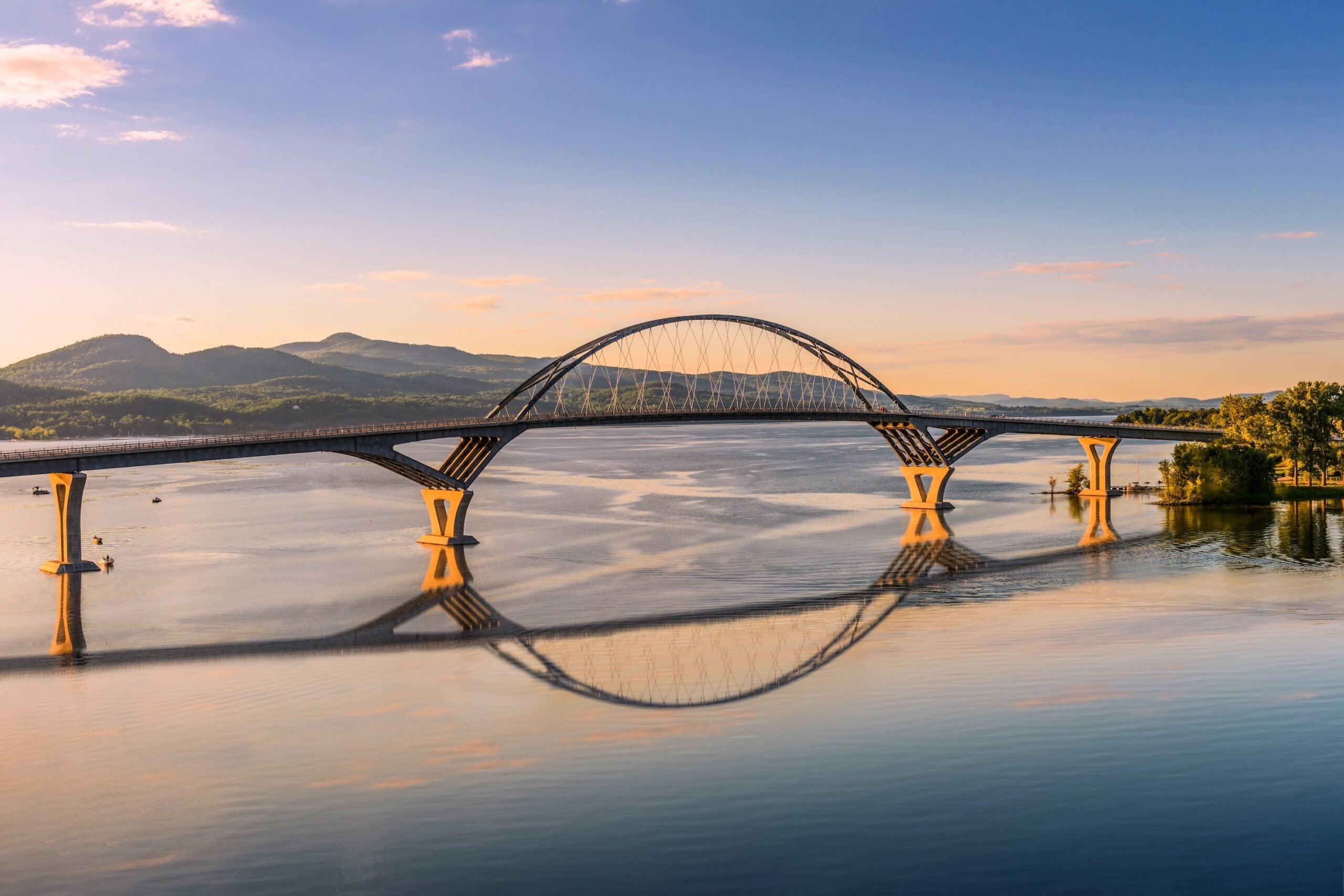
This Burlington, Vermont to Sault Ste. Marie, Michigan segment of the Great Northern road trip threads Lake Champlain, big-city Canada, and the Great Lakes into one long, satisfying drive. You start on Vermont’s island-dotted shoreline, cross into Quebec, swing past Ottawa, then follow Ontario’s Highway 17 west through forest and granite. The payoff is Sault Ste. Marie, where freighters squeeze through the Soo Locks on their way between Lake Superior and the lower Great Lakes. Give this stretch 3 to 4 days so you can stop for short hikes, waterfront walks, and a couple of museum-level stops without driving into the night. For a full-route plan, see the complete Great Northern road trip overview.
Burlington to Sault Ste. Marie via Canada Overview
Most drivers take I-89 north from Burlington, then cross at the Champlain, New York to Lacolle, Quebec area before continuing toward Montreal and Ottawa. From there, Ontario Highway 417 becomes Highway 17, the main east to west route across northern Ontario. The road is generally in good shape, but it is often two lanes once you leave Ottawa behind, with long distances between services in places. Late spring through early fall is the easiest window for this segment. Winter driving can mean heavy snow, ice, and shorter daylight, especially in northern Ontario and the Upper Peninsula.
Quick Stats for This Road Trip Segment
| Trip Detail | What to Expect |
| Total Distance | About 720 miles, depending on border crossing and city routing |
| Drive Time | About 13 to 14 hours, not counting stops |
| States and Provinces | Vermont, Quebec, Ontario, Michigan |
| Primary Routes | I-89, I-87, A-15, A-40, ON-417, ON-17, I-75 |
| Recommended Duration | 3 to 4 days |
| Cell Service | Good near cities, limited in parts of northern Ontario |
| Fuel Notes | Easy in Burlington, Montreal, Ottawa, and Sudbury, plan ahead on ON-17 |
Day-by-Day Plan: Burlington to Sault Ste. Marie Road Trip
Day 1: Burlington, VT to Ottawa, ON
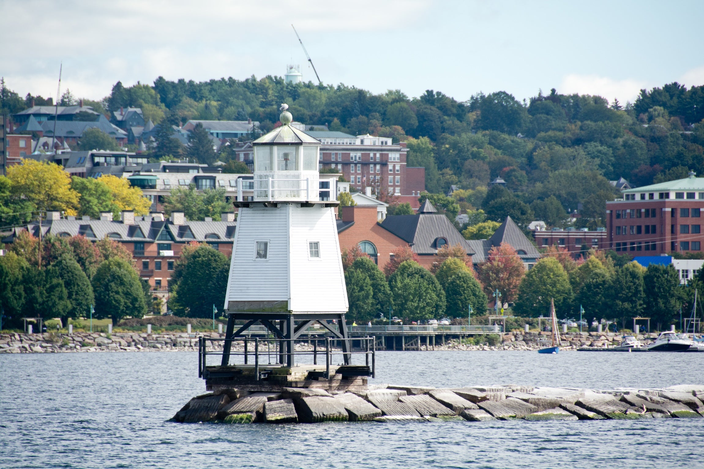
Plan on roughly 220 to 260 miles and 4.5 to 6 hours of driving, depending on your border crossing and whether you pass through central Montreal. Start with a quick Burlington waterfront lap at Waterfront Park, then point the car north for the border. If you have time before leaving Vermont, the Lake Champlain Islands are an easy warm-up with causeway views and snack stops. Crossing into Canada can add time, so keep your first day flexible. If you want a city break, Montreal makes sense for lunch, a short walk in Old Montreal, and coffee before pushing on.
In the afternoon, continue to Ottawa for an easy evening on foot. Stroll Parliament Hill grounds, then head to the ByWard Market area for dinner. If you want a simple next-morning plan, wake up early and do a quick Rideau Canal walk before leaving town. Overnight in Ottawa or just outside the city so you are not fighting traffic first thing.
Day 2: Ottawa, ON to North Bay, ON
This is a steady drive day, about 220 miles and around 4 hours on paper, plus stops. Before leaving Ottawa, consider booking a tour window in advance if you want a guided visit on Parliament Hill. Details and timing change seasonally, so check the official visitor site first. After Ottawa, the route follows ON-417 and then ON-17, shifting from multi-lane highway to long, rolling stretches with lakes and forest.
Stop options: a quick photo stop along the Ottawa River corridor, lunch in Pembroke, then a longer break around Mattawa where the Ottawa and Mattawa Rivers meet. North Bay is a natural overnight, with groceries, fuel, and a simple waterfront walk on Lake Nipissing. If you still have energy, the sunset light over the lake is a nice end to a long day.
Day 3: North Bay, ON to Sudbury, ON
Today is shorter, roughly 80 to 90 miles and about 1.5 hours of driving, which buys you time for a real stop. Leave North Bay mid-morning, then roll into Sudbury for a mix of hands-on attractions and a low-effort afternoon. Dynamic Earth and the Big Nickel are the classic choices if you want a break from highway driving.
Use the extra time to reset for tomorrow’s longer push. Do laundry, stock the cooler, and top off the tank. This is also a good night to download offline maps and campground details if you rely on your phone for navigation. Cell coverage gets less dependable in places once you head west on ON-17.
Day 4: Sudbury, ON to Sault Ste. Marie, MI
Plan on about 190 miles and 3.5 to 4 hours of driving, plus stops. ON-17 runs through small towns where a gas station and a café might be the only services, so treat every good stop as a chance to refuel. A favorite break is Chutes Provincial Park near Massey, just off the highway, for a short walk to waterfalls and the river gorge. After that, keep an eye out for lake views and rocky cuts through the Canadian Shield.
By afternoon, you will reach Sault Ste. Marie. If border lines are short, cross into Michigan and head straight for the Soo Locks area for ship watching. The Soo Locks Visitor Center is seasonal, so check hours before you arrive. End the day with dinner downtown or a simple camp meal, then get to bed. Tomorrow’s segment starts with Lake Superior country.
Campgrounds to Consider on This Segment
Grand Isle State Park Campground (Grand Isle, VT) sits on Lake Champlain with a mix of tent sites, RV sites, and cabins. It’s a solid pick if you want a first night that still feels like Vermont, with beach time and easy paddling.
North Beach Campground (Burlington, VT) keeps you right on the water with quick access to downtown. It’s convenient for a late arrival or an early start, and it works well for families who want a playground and beach in one stop.
Apple Island Resort (South Hero, VT) is a private campground on the islands with more amenities than most state parks. Think pool time, a camp store, and a resort-style setup that still puts you close to the lake.
Shelburne Camping Area (Shelburne, VT) is an easy, practical option close to Burlington for tents and RVs. If you want hookups and a straightforward base before you cross the border, it fits the bill.
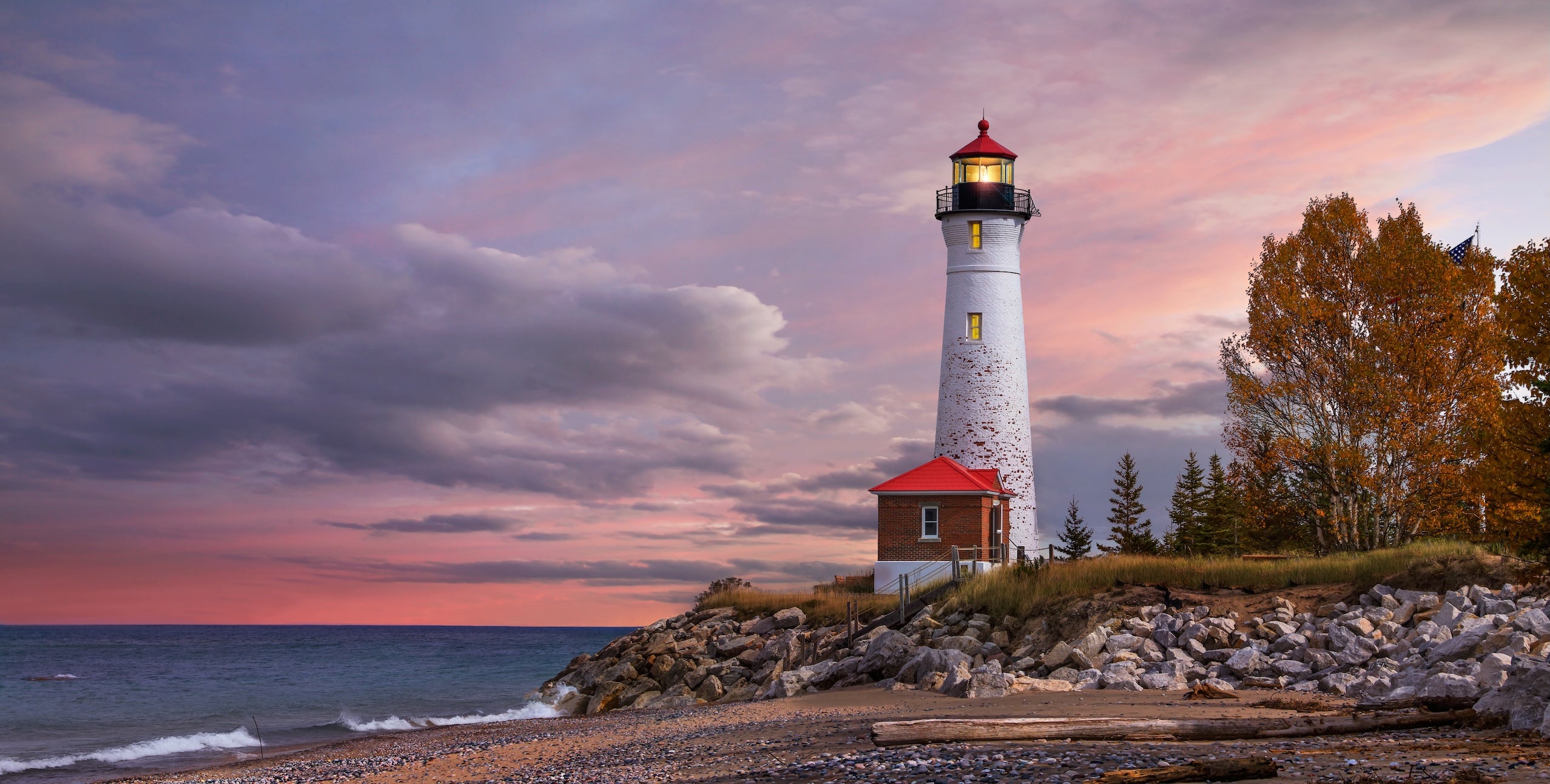
Aune-Osborn Campground (Sault Ste. Marie, MI) is known for freighter views on the St. Marys River. It’s close to the Soo Locks and makes a great finish-line camp for this segment.
Brimley State Park Campground (Brimley, MI) puts you on Whitefish Bay of Lake Superior. Expect a classic state park setup with beach time, big-lake wind, and a good reset after long drive days.
Bay View (Hiawatha National Forest, MI) sits right on Lake Superior with a more old-school national forest feel. It’s a good option when you want a simple site near the water without the resort vibe.
Monocle Lake Campground (Brimley, MI) is tucked in the woods of Hiawatha National Forest. It’s quieter, with a small-lake setting that works well for paddling or a low-key night.
Bay Mills Casino RV Campground (Brimley, MI) is a convenient full-hookup option near fuel and food. It’s useful if you want an easy pull-through stop and a break from cooking.
Top Stops and Attractions Along the Route
Natural highlights
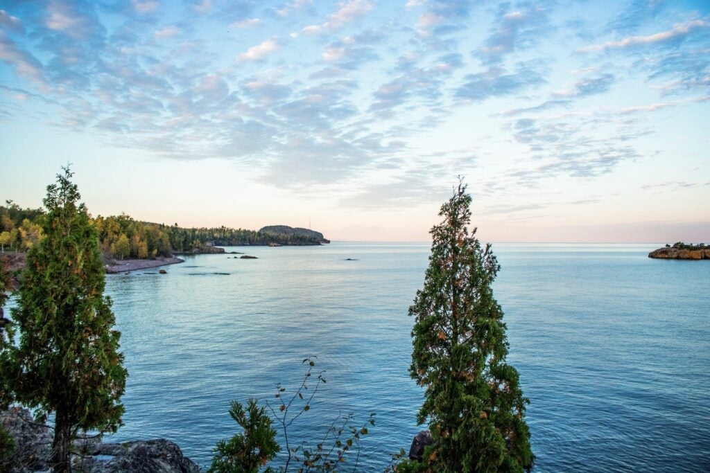
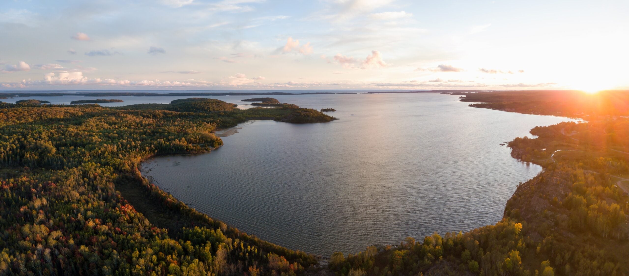
Chutes Provincial Park is an easy side stop off ON-17 for waterfalls and a short trail system near Massey. In the Upper Peninsula, Lake Superior shoreline time is the obvious move, especially around Whitefish Bay near Brimley. If you have extra daylight after arriving in Sault Ste. Marie, a quick waterfront walk along the St. Marys River is a simple way to end the day.
Cultural and historic stops
Ottawa is the best cultural stop on this segment. Parliament Hill is walkable, photo-friendly, and worth a tour if your schedule allows. If you pass through Montreal, Old Montreal makes a good two-hour break for food and architecture. In Sault Ste. Marie, the Soo Locks are the headliner, with great ship viewing when freighters are moving through.
Outdoor recreation
Burlington’s Lake Champlain bike path is an easy pre-drive leg stretch. North Bay’s waterfront is good for a calm walk and sunset views. In Michigan, Hiawatha National Forest campgrounds near Brimley set you up for swimming, beach walks, and simple day hikes.
Unique stops
Sudbury’s Big Nickel is a classic roadside photo. In Sault Ste. Marie, ship watching is the main event, and it can be surprisingly addictive. Bring a pair of binoculars if you have them.
Travel Tips for Burlington to Sault Ste. Marie
Border time can swing a lot. Before you leave Burlington, check official wait-time tools from Canada and the U.S. so you can decide whether to cross early or adjust your route. Once you are west of Ottawa on ON-17, plan fuel more carefully and avoid letting your tank run low. Two lanes and truck traffic are common, so pass only when it is clearly safe and give yourself extra time. Wildlife is a real factor in northern Ontario, especially at dawn and dusk. Slow down when visibility drops. For the Soo Locks, confirm seasonal hours so you do not arrive after the visitor areas close.
Additional Segments and Planning Resources
This is one part of the larger route, and the next legs continue west across the Upper Peninsula and into the heart of the Great Lakes region. For the full context and segment links, use the Great Northern road trip planning guide. If you rely on your phone for navigation, consider The Dyrt PRO for offline maps and campground details in areas where service drops. For responsible camping basics, review Leave No Trace guidance before heading out.
Helpful official resources:
Ontario Parks: Chutes Provincial Park
USACE: Soo Locks Visitor Center
The Dyrt is the only camping app with all of the public and private campgrounds, RV parks, and free camping locations in the United States. Download now for iOS and Android.Popular Articles:
Articles on The Dyrt Magazine may contain links to affiliate websites. The Dyrt receives an affiliate commission for any purchases made by using such links at no additional cost to you the consumer.