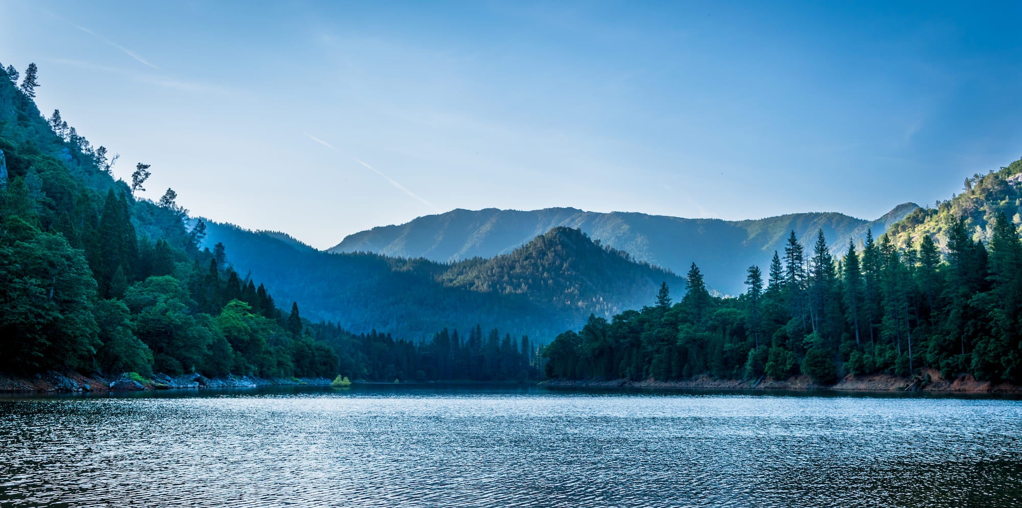
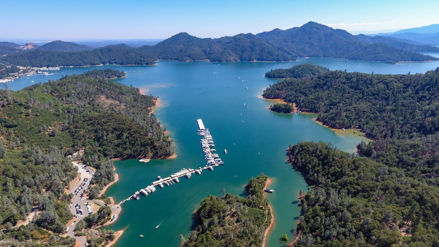
Created in the 1940s when the Shasta Dam flooded towns, valleys, and much of the traditional lands of the Winnemem Wintu people, Shasta Lake is now California’s largest reservoir and a popular summer getaway for Bay Area residents. Located just 15 minutes from Redding, Shasta Lake offers nearly 360 miles of shoreline surrounded by hiking trails, campgrounds, and more.
Since Shasta Lake is a reservoir, it exhibits an unusual layout with several fingers and arms branching off from the main channel. The lake has four major arms, each created by an approaching river, impounded by the construction of the dam. The four arms include: the Sacramento River, the McCloud River, Squaw Creek, and the Pit River. Each arm has its own unique character and geology, and all are worth exploring by boat.
When to Visit Shasta Lake
Summer is by far the most popular time to visit the lake, when both water and air temperature is at its warmest. If you prefer a quieter scene, visit in early spring or late fall. Winter is becoming an increasingly popular time to visit the Shasta Lake region. And don’t worry, there are plenty of activities to enjoy throughout winter, including snowshoeing, backcountry skiing, and winter hiking.
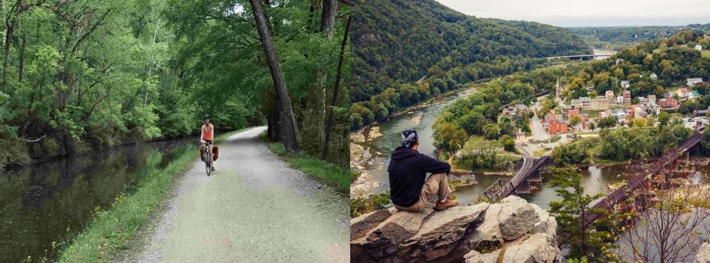
Hiking the Shasta Lake Trails
Many of the hiking trails on Shasta Lake hug the shoreline and provide excellent views of the lake. Bailey Cove, Waters Gulch, and Clikapudi are easy loop options and are also popular with mountain bikers and trail runners. The Fishermans Point and Dry Fork Creek Trail provide excellent fishing and swimming access, and the Samwel Cave Nature Trail and Greens Creek Trail are only accessible by boat. Several hiking trailheads are conveniently located near many of the best Shasta Lake camping spots.
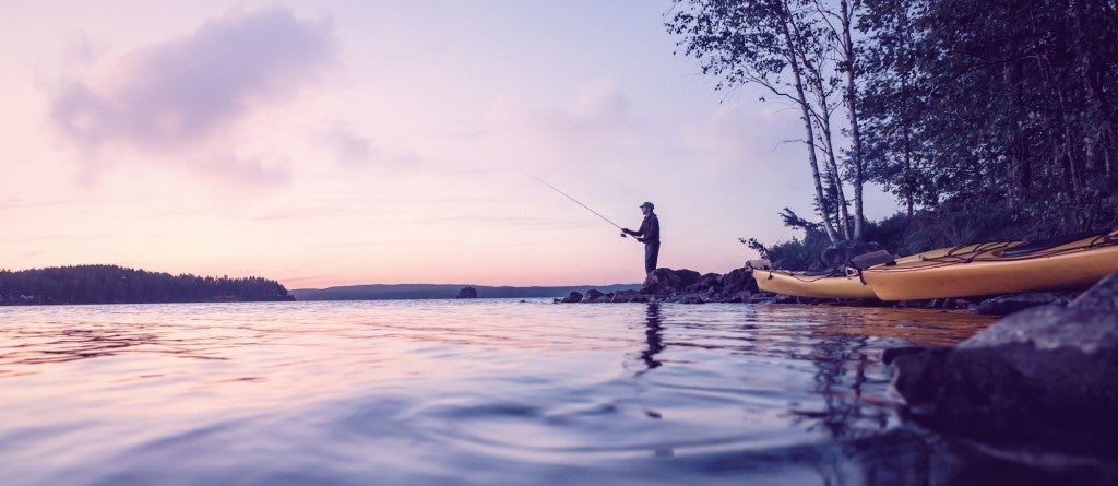
Boating on Shasta Lake
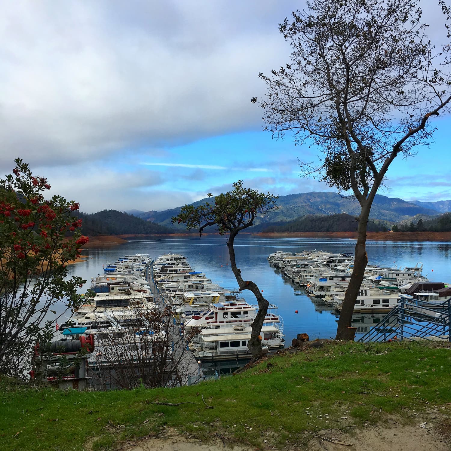
Since Shasta Lake is so vast, boating is one of the most worthwhile ways to experience the lake. If you don’t have your own boat, rent a canoe, kayak, speed boat, or houseboat from one of the many marinas and resorts scattered around the lake. If you’re visiting with a large group, renting a houseboat is like having your own private floating vacation home, and it’s a fun way to explore the lake’s many inlets and coves.
Visiting Shasta Caverns
The Lake Shasta Caverns are a network of limestone caves located on the McCloud Arm of the lake. The caverns are only accessible via a guided tour that includes a scenic boat ride across the lake. Tours require a significant amount of walking and stair climbing and are not accessible to wheelchairs or those with mobility restrictions. Tours of the caverns are offered year-round.
Touring the Shasta Dam
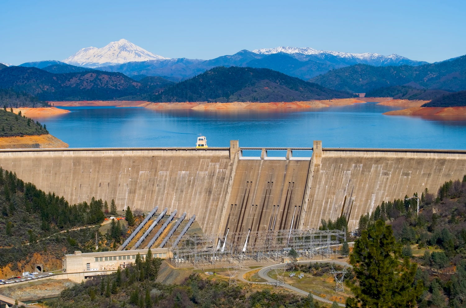
At the time of its completion in 1945, the Shasta Dam was the second highest dam in the world. This massive curved gravity dam spans the Sacramento River just north of Redding, and generates hydroelectric power and provides water to California’s Central Valley. Free guided Shasta Dam tours are offered daily, year-round, and include a 428-foot elevator ride to the base of the dam.
Climbing Mount Shasta
At an elevation of 14,179 feet above sea level, Mount Shasta is the fifth highest peak in California and is a bucket list peak for many climbers. Avalanche Gulch is the most popular non-technical route to the summit and gains about 7,300 feet of elevation in 11.5 miles. Extremely fit hikers can reach the summit in one day, but most hikers take two days to reach the summit.
Shasta Lake Camping
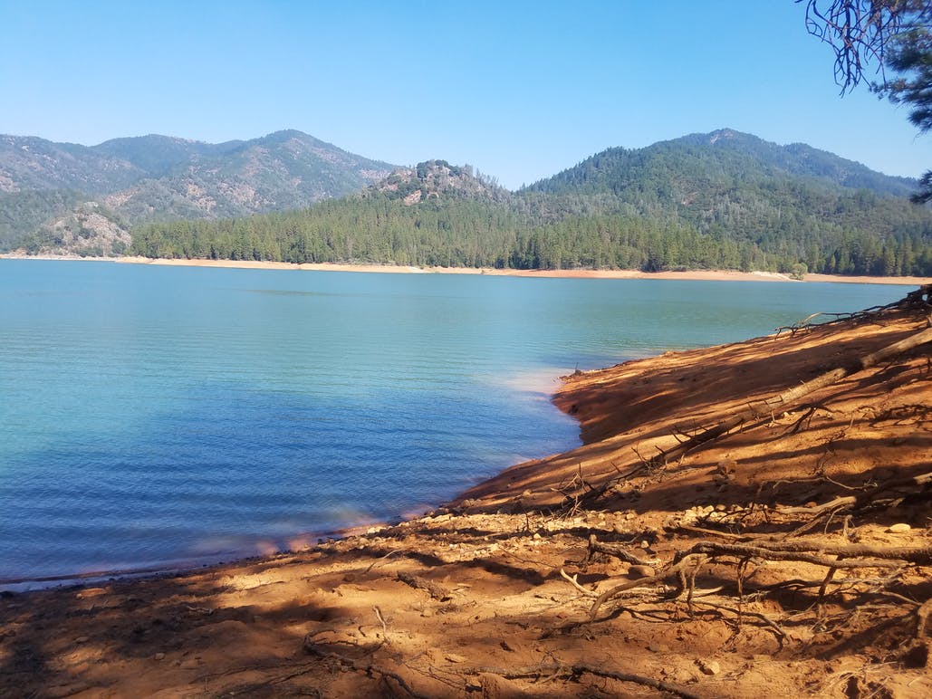
Image from the Dyrt camper Amber D.
Bailey Cove
Bailey Cove is a popular National Forest Service campground on the McCloud Arm of Shasta Lake. There are only seven sites available, so they will fill up quickly. But each of those seven sites have a tent pad, picnic table, raised fire ring, bear boxes, and paved parking area. Drinking water and flush toilets are also available on-site. A day use area adjacent to the campground has a boat ramp, picnic tables, restrooms, and access to the Bailey Cove Trail.
Hirz Bay Campground
Located on a hill overlooking the McCloud Arm of Shasta Lake, the Hirz Bay Campground is one of the best Shasta Lake camping options for visitors looking for easy access to the water. The campground is ideal for tent campers and small trailers. Each campsite has paved parking, a picnic table, a bear-proof food locker, and one fire ring. The campground itself offers a pay phone, drinking water, and flush toilets on-site.
Reservations are available from May 15 – September 15 only. The Hirz Bay Trail begins at the campground and follows the shoreline to the Dekkas Rock Campground.
Camping Near Shasta Lake
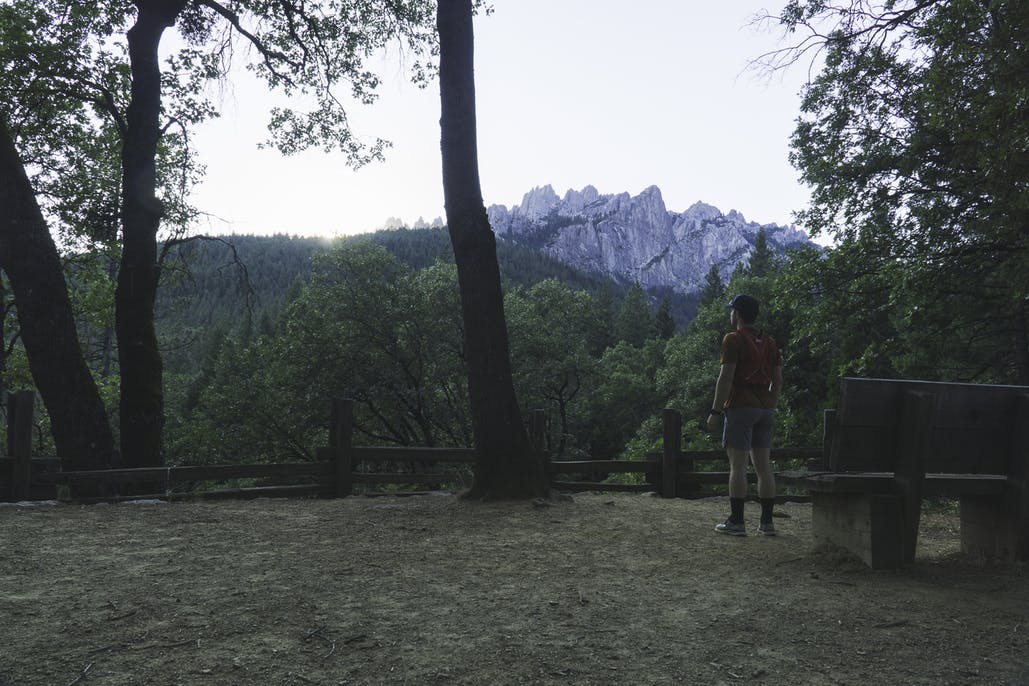
Image from the Dyrt camper Devyn D.
Castle Crags State Park
Located just north of Shasta Lake, Castle Crags State Park offers scenic camping spots along the Sacramento River with easy access to hiking trails in the Castle Crags Wilderness. For the best views of the dramatic rock spires known as the Castle Crags, take the moderately difficult 6.5-mile Castle Dome Trail to the base of Castle Dome. This state park acts as an excellent home base for exploring Shasta Lake and the Castle Crags area.
Manzanita Lake
Located in nearby Lassen National Park, the Manzanita Lake Campground has 179 sites suitable for both tents and RVs. Campground amenities include coin-operated showers, flush toilets (during the summer season), and a camp store where you can rent canoes, kayaks, and even camping equipment. The Manzanita Lake Campground is a good starting point for visitors wishing to explore both Shasta Lake and Lassen National Park.
Burney Falls
Just northeast of Shasta Lake, Burney Falls State Park is another popular camping option outside of Lassen. The park’s highlight is the hike to 129-foot Burney Falls, one of the most spectacular falls in the state. The campground is extremely popular during the summer months so book well in advance if you can.
Related Campgrounds:
- Pine Grove Resort, Cobb, CA
- Collins Lake Recreation Area, Browns Valley, CA
Popular Articles:
Articles on The Dyrt Magazine may contain links to affiliate websites. The Dyrt receives an affiliate commission for any purchases made by using such links at no additional cost to you the consumer.