Are you sitting at a desk right now? Yearning to get outside and take in the great outdoors? Well, no need to get up. You can do it from where you are.
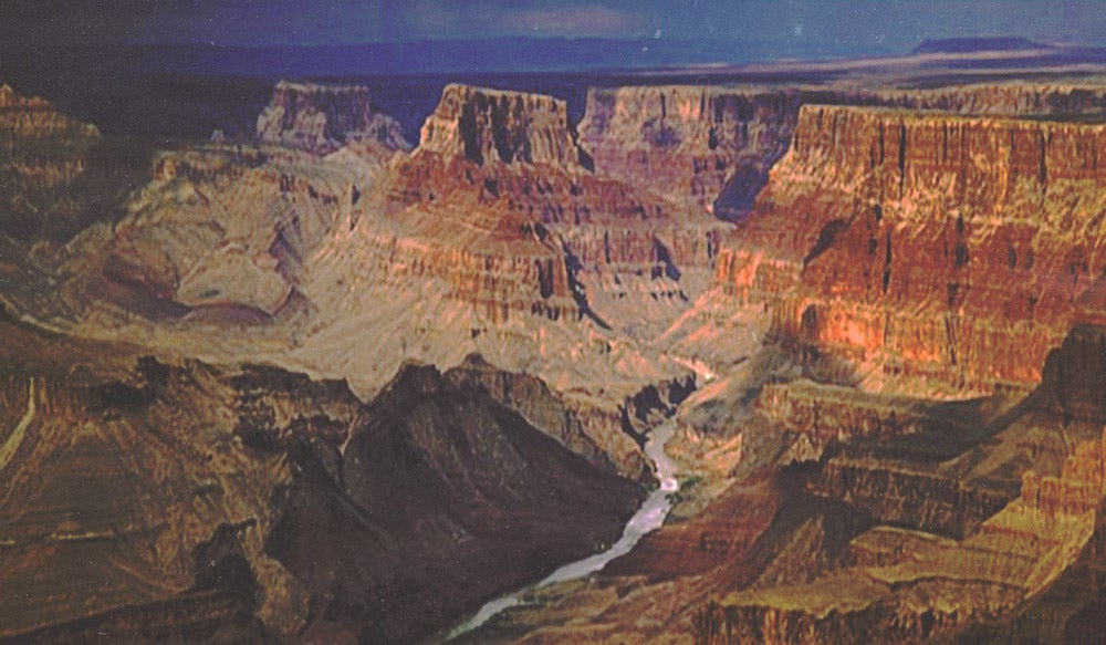
Earlier this year Google and American Rivers launched Colorado River Street View, Google’s “Street View” of a river. You can view 286 miles of the Colorado River as it snakes it way through the iconic Grand Canyon.
How’d they do it? With cameras on floating rafts, snapping photos every 2.5 seconds. The team also shot several side hikes in the canyon.
This isn’t the first time Google’s Street view as ventured “off street”. They’ve also captured major landmarks: The Taj Mahal in Agra, the Eiffel Tower in Paris, Burj Khalifa Tower in Dubai, and my favorite, five National Parks in California.
While some people criticize Google’s efforts as giving you one less reason to get outside, I like the benefits it provides. It offers people access to places they may not be able to go, works as a teaching tool even for places halfway across the globe, and it works as a planning resource for people mapping out their next trip.
Plus, it’s just plain cool.
The Dyrt is the only camping app with all of the public and private campgrounds, RV parks, and free camping locations in the United States. Download now for iOS and Android.Popular Articles:
Articles on The Dyrt Magazine may contain links to affiliate websites. The Dyrt receives an affiliate commission for any purchases made by using such links at no additional cost to you the consumer.