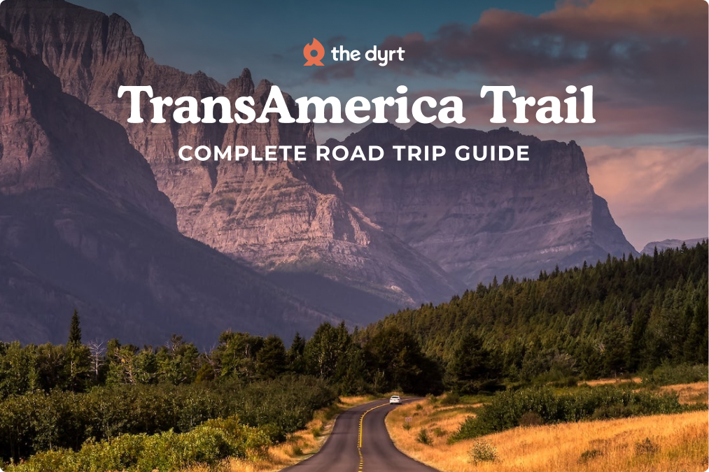
The TransAmerica Trail is a coast-to-coast road trip spanning over 4,200 miles from Astoria, Oregon to Yorktown, Virginia. Unlike interstate highways, this route sticks to backroads and small towns as it crosses 10 states on its way across the continent. You can drive it west-to-east or east-to-west – in both directions it delivers an epic journey from Pacific beaches, over the Rocky Mountains, across the Great Plains, and through Appalachian hills to the Atlantic.
It’s a significant and iconic route originally mapped for cross-country travel in 1976, and it remains a bucket-list adventure for many. The Dyrt camping community has deep ties to this trail, with countless campground reviews guiding travelers to hidden gems along the way. The best time to tackle the trip is generally late spring through early fall, taking advantage of mountain passes being clear of snow and avoiding the worst heat on the plains. This overview guide covers the entire route, with links to detailed segment guides for deeper exploration of each portion.
Route Overview & Quick Facts
| Feature | Details |
| Total Distance | ≈4,200 miles (6,760 km) coast to coast |
| States Crossed | OR, ID, MT, WY, CO, KS, MO, IL, KY, VA (10 total) |
| Recommended Time | 4–6 weeks (minimum) to fully experience the route |
| Best Seasons | Late spring through early fall (to avoid snow and mid-summer heat) |
| Route Type | Mostly two-lane rural highways & country roads; parallel alternatives to off-road trail sections |
| Vehicle Needs | Standard vehicles or campers for main route; 4×4 high-clearance needed for optional rugged segments |
| Notable Features | Pacific Coast start, Rocky Mountain passes (up to ~11,500 ft), Great Plains expanse, Appalachian Mountains, Atlantic Coast finish |
| Primary Challenges | Remote stretches with limited services, steep mountain grades, rapidly changing weather, and some rough road conditions in backcountry areas |
What Makes This Route Special
This route is a true cross-section of America, linking two oceans via the nation’s heartland. Culturally and geographically, it covers an unparalleled range – from the coastal forests of the Pacific Northwest to the wide-open prairies of Kansas and the colonial villages of Virginia. Historically, the TransAmerica Trail has deep roots: it was first established as part of the 1976 Bikecentennial, making it one of the original coast-to-coast touring routes. Travelers choosing this route trade big cities for backroads, discovering small-town hospitality and local history off the beaten path. In many areas it follows historic corridors (for example, paralleling portions of the Oregon Trail and the old Santa Fe Trail), and it traverses several National Scenic areas like the Blue Ridge Mountains. The journey also connects iconic sites – you begin near Lewis and Clark’s endpoint on the Pacific and finish at Yorktown, where the American Revolution effectively ended. Few road trips can match the TransAmerica Trail’s blend of natural beauty and American heritage in one continuous drive.
Regional Highlights Overview
Segment 1: Port Orford, OR to Missoula, MT
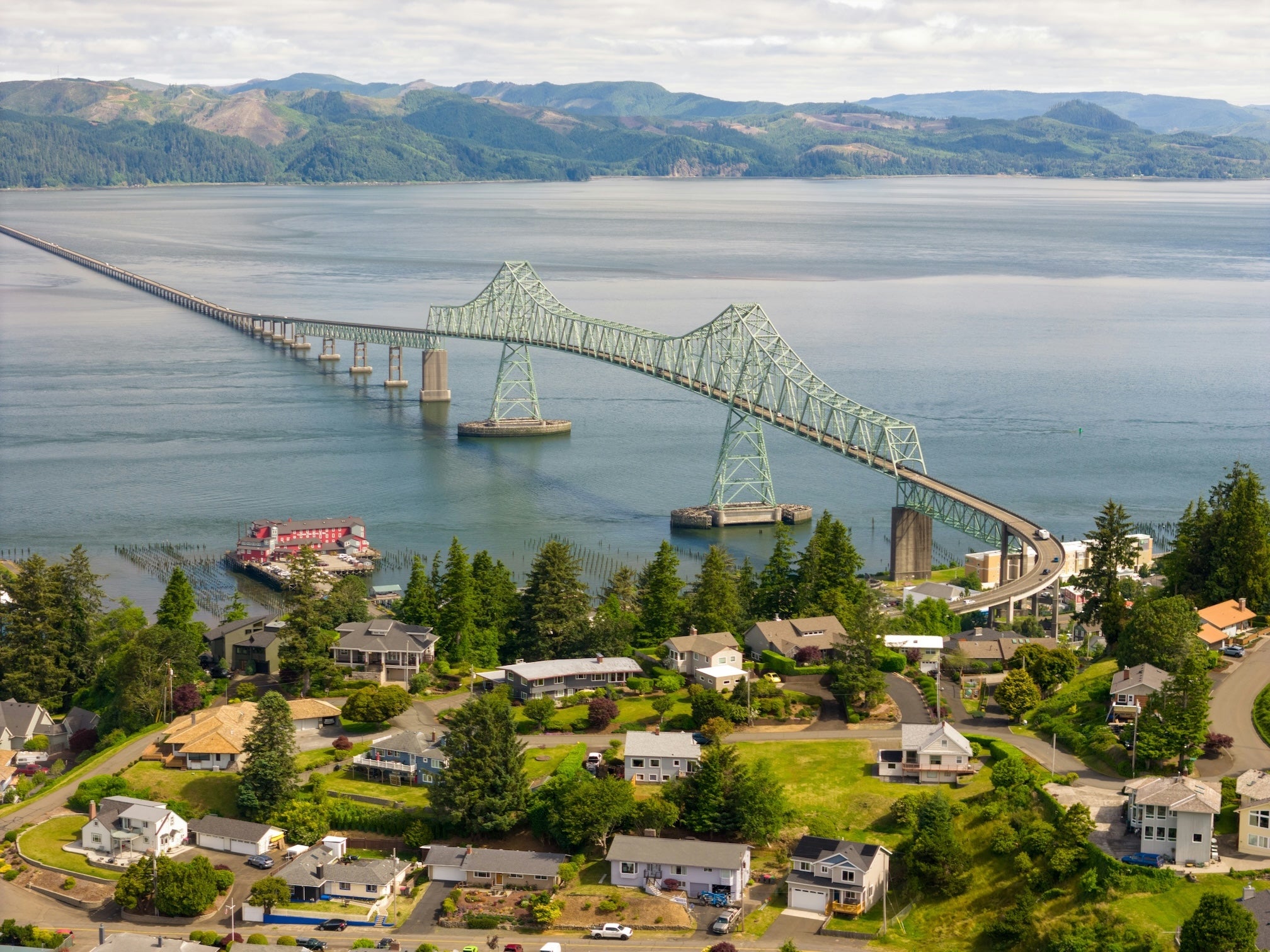
This segment starts on US-101 north, with a long run of headlands, beach pullouts, and summer traffic. Astoria is the official start of Adventure Cycling’s TransAmerica Trail, and the Astoria Column adds a quick history stop on Coxcomb Hill, with 164 spiral steps to the viewing deck. From there, the route turns inland through the Willamette Valley, with Eugene as the biggest place on this segment for a full grocery run.
Cross the Cascades on OR 242 over McKenzie Pass, where the road cuts through an old lava field. ODOT closes OR 242 from November to mid-June, and the earliest possible opening is the third Monday in June, so timing matters. Even in summer, it’s a tight drive, and vehicles over 35 feet are not allowed because of the narrow lanes, tight curves, and minimal shoulder.
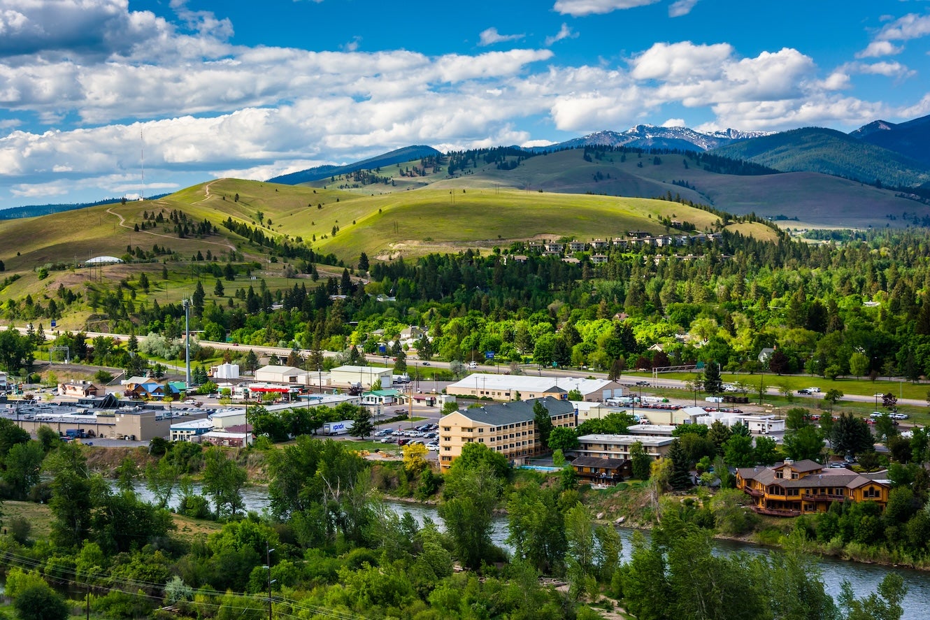
East of the pass, wet forest gives way to drier, higher terrain as you push toward Baker City. The Bureau of Land Management’s National Historic Oregon Trail Interpretive Center is a short side trip, about 5 miles east of Baker City on Highway 86. In Idaho, Emmett sits next to the Payette River and works well for fuel and supplies before you aim north toward US-12. That highway follows the Middle Fork Clearwater and Lochsa Rivers, two Wild and Scenic rivers, for a roughly 70-mile gradual climb to Lolo Pass along the Northwest Passage Scenic Byway, a 202-mile All-American Road, before the last miles into Missoula and Adventure Cycling headquarters.
Segment 2: Missoula, MT to Rawlins, WY
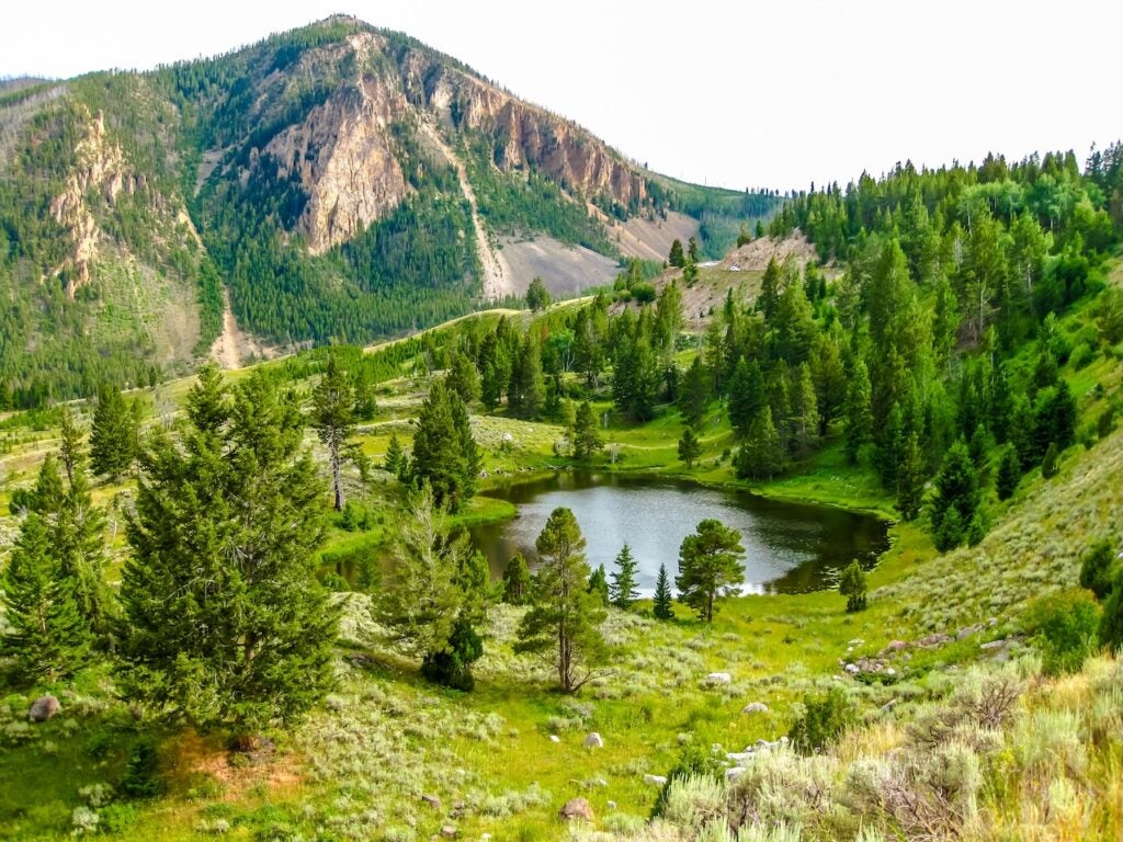
This section spans the Big Sky country of Montana and the high country of northwest Wyoming. After passing through Missoula (a famous cross-country cycling hub), the route climbs over the Rocky Mountains via the Bitterroot Range. Expect sweeping valleys and mountain vistas as you head toward Yellowstone National Park. In Montana, the route skirts the Mission Mountains and crosses the Continental Divide at Chief Joseph Pass. Entering Wyoming, you’ll traverse the edge of Yellowstone – a major highlight with its geysers, wildlife, and the Grand Canyon of the Yellowstone. A short detour south leads to Grand Teton National Park if time allows (roughly 60 miles out-and-back). Back on the main route, you continue through Wyoming’s Wind River Range foothills. The highest elevation of the trip comes around here: Hauling over mountain passes exceeding 11,000 feet tests you and your vehicle’s mettle. As you descend toward Rawlins, WY, pine forests give way to arid basins. Keep an eye out for pronghorn antelope on the open range. This segment is all about alpine splendor – towering peaks, clear trout streams, and the chance to camp under brilliant starry skies at elevation.
Segment 3: Rawlins, WY to Alexander, KS
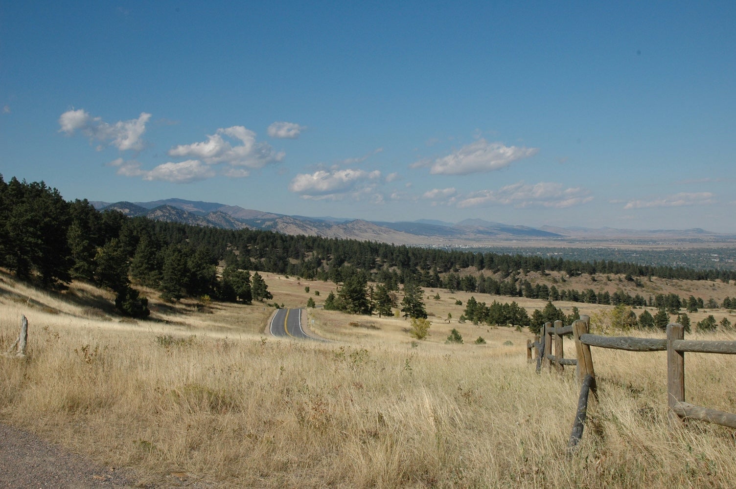
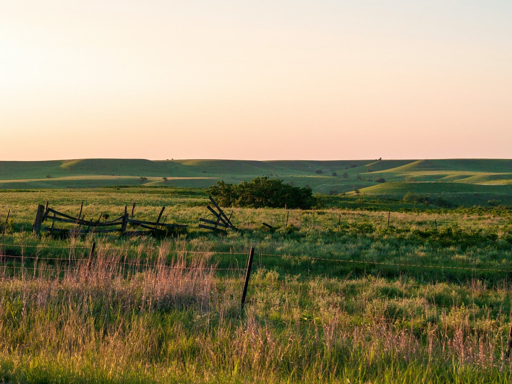
Crossing into northern Colorado, the route continues through the Rockies before emerging onto the Great Plains. In Colorado you’ll travel south through mountain parks and over passes (including Hoosier Pass at 11,542 feet, near Breckenridge, the highest paved pass on the TransAmerica route). From the ski-country highlands, you descend through the Front Range foothills and out into the rolling prairie of eastern Colorado. By the time you hit the Kansas state line, the terrain has flattened significantly. Western Kansas is classic Great Plains: vast wheat fields, big skies, and straight two-lane roads to the horizon. Services can be very sparse in this stretch – small farm towns are often 50+ miles apart, and strong headwinds are common. As you proceed east, you’ll notice subtle changes: grain elevators and windmills dot the landscape, and the humid air of the Midwest begins to creep in. This segment offers a dramatic contrast, from Colorado’s snow-capped peaks to Kansas’s endless plains, essentially transitioning from one extreme of American geography to the other.
Segment 4: Alexander, KS to Berea, KY
After crossing Kansas, the trail ventures into the wooded hills of the Ozarks and onward through the agricultural heartland. Eastern Kansas and western Missouri introduce more tree cover and rolling hills as you approach the Ozark Plateau. In Missouri, the route winds through the Ozark Mountains’ winding roads and hollows – expect short steep grades and lush oak forests. This area is rich in streams, springs, and caves; a refreshing change after the plains. Near the town of Eminence, MO, you’re in the heart of the Ozark National Scenic Riverways (a great place to canoe or swim). Continuing east, you’ll cross the Mississippi River from Missouri into Illinois – a milestone as you leave the West behind. Southern Illinois (around the town of Murphysboro and Shawnee National Forest) surprises many with its sandstone bluffs and giant hardwood forests. Next, the route dips into Kentucky’s western Appalachia foothills. The road meanders through rural Kentucky farmland and dense woodland, passing coal towns and country hamlets. By the time you reach Berea, KY (known as the Gateway to the Appalachians), you’ve traversed some challenging hill terrain. This segment showcases mid-America’s quieter charms: oak-covered hills, historic mills, and the transition from prairies to mountains. Keep in mind that some backroads in this region are narrow and twisting – drive cautiously and enjoy the slower pace of life.
Segment 5: Berea, KY to Yorktown, VA
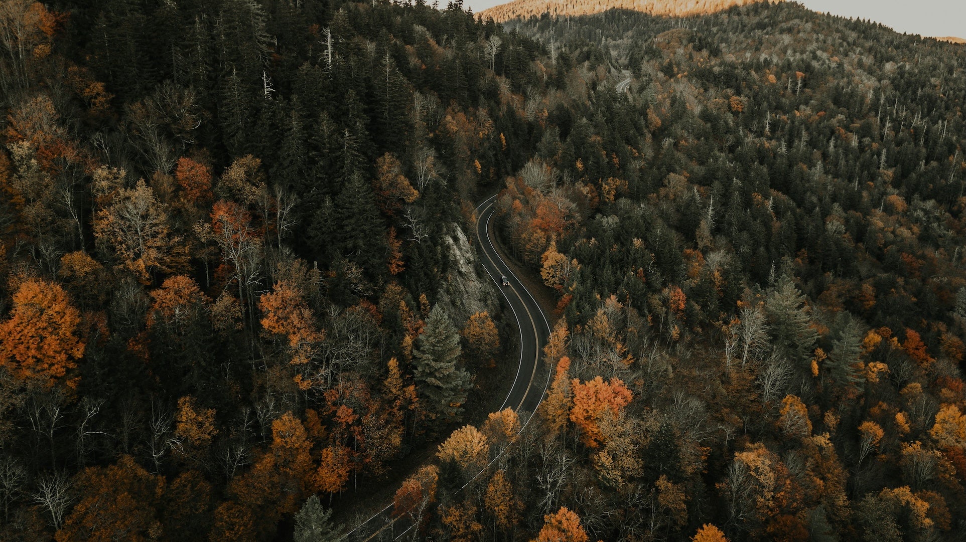
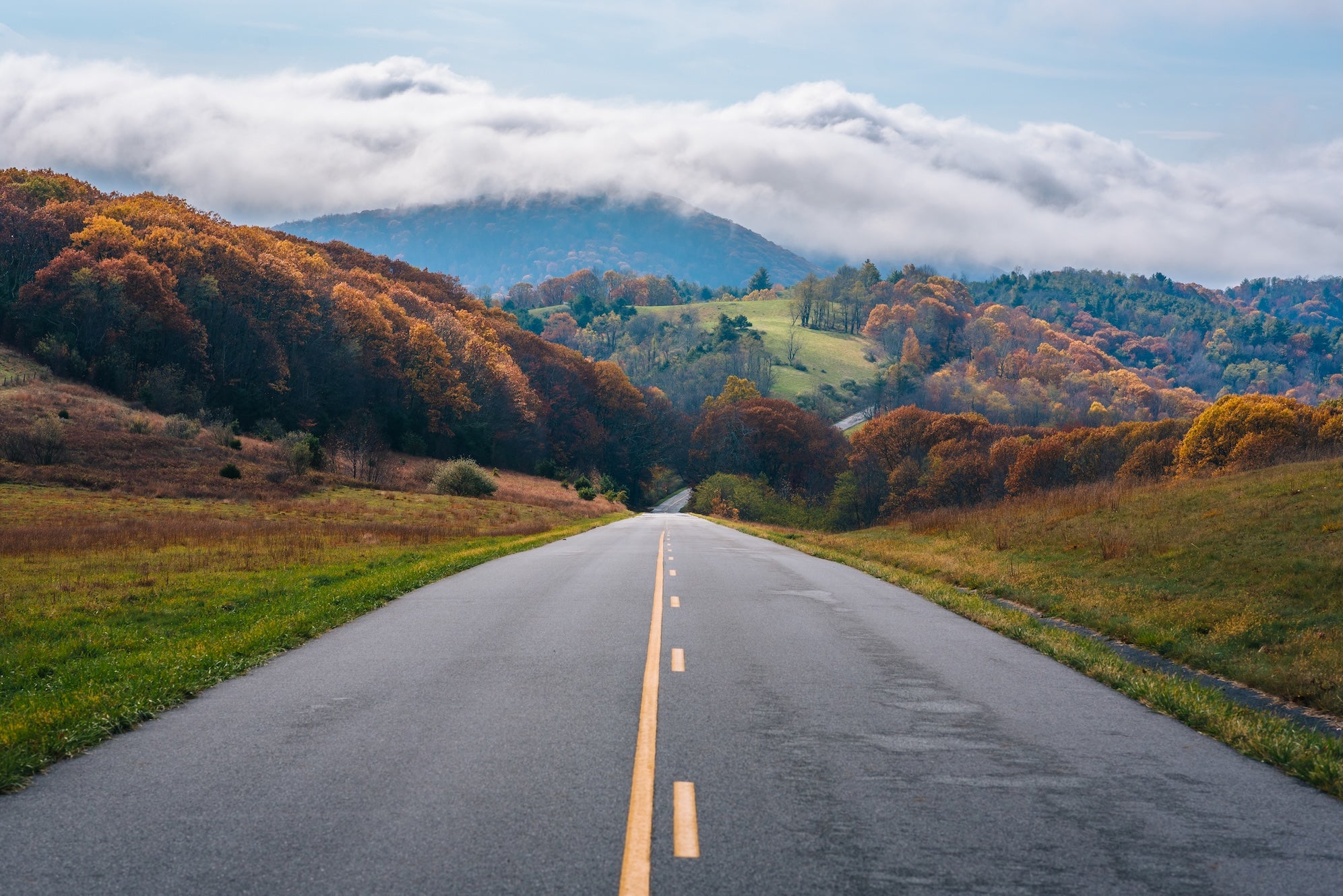
The final leg spans the Appalachian Mountains and drops down to the Atlantic seaboard. In eastern Kentucky, the route navigates through the Appalachian highlands with their rugged ridges and hollows. Crossing into southwestern Virginia, you’ll tackle some of the steepest climbs and descents of the entire trip as you traverse the Blue Ridge Mountains. The route overlaps parts of Virginia’s scenic backroads – you might even hop on the Blue Ridge Parkway for a spell as a scenic alternate. This region is known for its rich Appalachian culture, so consider pausing in small towns for regional music, barbecue, or a slice of pie. After threading through the mountains (and possibly the historic mountain pass at Breaks Interstate Park, nicknamed the “Grand Canyon of the South” for its gorge), the landscape opens up. You’ll enter Virginia’s Piedmont and then the flat Tidewater coastal plain. The trip concludes by passing through the Historic Triangle of Jamestown, Williamsburg, and Yorktown – fittingly rich with early American history. Rolling into Yorktown on the shores of Chesapeake Bay, you’ll have officially gone ocean to ocean. This segment is a memorable finale: mountain vistas, foggy valleys at dawn, and a tangible sense of reaching journey’s end as you smell salty air approaching the Atlantic.
Top 10 Best Places to Camp Along The TransAmerica Trail
- Fort Stevens State Park Campground – Astoria, OR (Segment 1): A huge campground at the route’s start, featuring beach access, historic military fort ruins, and even a famous shipwreck on the sand. Full facilities make this a comfortable kick-off or finish line stop on the Pacific.
- Farewell Bend State Recreation Area – Snake River, OR/ID Border (Segment 1): Located along the Snake River’s Brownlee Reservoir, this campground offers a peaceful desert river setting. It’s a historic Oregon Trail location, so you can camp where pioneers paused before bidding Oregon country “farewell.” Modern amenities include showers and hookups, and the fishing is excellent.
- Wilderness Gateway Campground – Clearwater National Forest, ID (Segment 1/2): A forested campground on the Lochsa River along US-12 in Idaho. It’s a convenient base before/after Lolo Pass. Expect spacious sites among cedar and fir trees, access to hiking trails, and the soothing sound of the river – a great spot to unplug (no cell service here!).
- Madison Campground (Yellowstone NP) – Yellowstone area, WY (Segment 2): A popular national park campground near West Yellowstone, set at the junction of the Gibbon and Madison Rivers. It puts you close to iconic Yellowstone sights like Old Faithful (16 miles south) while providing a rustic, nature-immersed experience (no hookups, and no cell signal). Wake up to elk wandering through camp and steam from nearby hot springs – truly in the wild heart of Yellowstone.
- Hoosier Pass Dispersed Camping – Continental Divide, CO (Segment 3): Free alpine camping at 11,500 feet on Hoosier Pass, south of Breckenridge. This is a dispersed (no services) area on National Forest land with spectacular mountain views. Access is via a rough road right at the pass summit. It’s a primitive overnight option for self-sufficient campers – you can literally sleep on the Great Divide, but come prepared for cold nights and thin air.
- Toronto Point – Cross Timbers State Park – Toronto Lake, KS (Segment 3): A pleasant lakefront campground in southeastern Kansas that offers a great respite on the plains. It features both primitive and RV sites (many with hookups) plus showers. Set on a forested shoreline of Toronto Reservoir, it’s an opportunity to enjoy fishing, swimming, or just a treeline after so much open prairie. Sunsets over the water here are gorgeous.
- Johnson’s Shut-Ins State Park – Ozark Mountains, MO (Segment 4): A favorite Missouri state park campground famed for its “shut-ins” – natural rock water slides and pools in the Black River. The campground is modern (electric sites, nice bathhouses) and situated in a beautiful hardwood forest. After a day of driving, you can cool off by splashing in the shut-ins, hiking the scenic trails, or checking out nearby Taum Sauk Mountain (Missouri’s highest point). It’s a fun family-friendly stop in the Ozarks.
- Giant City State Park Campground – Shawnee Forest, IL (Segment 4): Tucked in Illinois’ Shawnee Hills, this campground is surrounded by impressive sandstone bluffs and lush forests. Giant City is known for its unique rock formations (like Devil’s Standtable and the Giant City “streets” trail between cliffs). The campground has tent and RV sites with showers available. It’s a peaceful stop with a real sense of Illinois’ little-known hill country, and the park lodge even serves a famous family-style fried chicken dinner.
- Breaks Interstate Park Campground – VA/KY Border (Segment 5): Perched on the border of Virginia and Kentucky, Breaks is an interstate park that protects a stunning gorge on the Russell Fork River – often called the “Grand Canyon of the South.” The campground here has sites with hookups under the forest canopy and access to bathhouses. After navigating Appalachia’s tight curves, this is a great overnight. You can enjoy canyon overlooks, a visitor center, and even a small water park in summer. Note: the approach roads are steep and winding, but the views and unique bi-state park experience are well worth it.
- Chickahominy Riverfront Park – Williamsburg, VA (Segment 5): A roomy public campground in coastal Virginia that’s perfect for the final leg. It sits on the Chickahominy River just outside Williamsburg, offering over 120 campsites (from primitive to full hookup). There’s a boat ramp, fishing pier, and even a swimming pool in season. This park is along the Virginia Capital Trail bike route and within a short drive of Jamestown and Colonial Williamsburg. It’s an ideal base to explore Tidewater Virginia’s historic sites as you wrap up (or begin) your journey, with beautiful river sunsets to cap your trip.
Activities & Attractions Overview
Nature lovers will find highlights like national parks and natural wonders: from tide-pooling on the Pacific Coast, to marveling at geysers in Yellowstone, to hiking among giant rock formations in the Missouri Ozarks. In the East, the Blue Ridge Mountains offer countless overlooks and trails (the Appalachian Trail even intersects near the route in Virginia).
For those interested in history and culture, the route is rich with it: you can visit Oregon Trail interpretive centers in the West, stand on old pioneer wagon ruts in Wyoming, see frontier forts and one-room schoolhouses on the Plains, and explore Colonial American sites at Williamsburg and Yorktown. Small-town America is a big part of the charm – consider stopping at local museums (like the Dalton Gang Hideout in Kansas or a coal mining museum in Kentucky) and quirky roadside attractions.
Outdoor recreation is plentiful all along the trail: there’s world-class fly fishing in trout streams (Idaho’s Lochsa River and Montana’s Madison River, for example), canoeing and kayaking opportunities on rivers like the Current River in Missouri and the New River in Virginia, plus biking, rock climbing, and more. Whether it’s photographing wild bison grazing in Yellowstone’s valleys or learning about Civil War history in a Virginia hamlet, the TransAmerica Trail offers a bit of everything. Each segment of the route has its own “must-dos,” and our detailed segment guides dive deeper into those local highlights.
Planning Your TransAmerica Trail Road Trip
Embarking on a cross-country journey along this route requires some preparation. Here are key planning considerations to ensure a smooth trip:
- Fuel & Services: Some stretches are very remote, so never let your gas tank get too low. In the West (e.g. eastern Oregon and central Wyoming) and again in parts of Kansas, towns with services can be over 100 miles apart. Carry extra water and possibly a fuel can in case. Know your vehicle’s range and plan stops accordingly – for example, fill up in larger towns like Missoula, Pueblo, or Farmington whenever you have the chance.
- Seasonal Road Conditions: Time your trip to avoid weather extremes. Late spring through early fall is ideal, as mentioned, but even in summer you should be mindful of conditions. Mountain passes in the Rockies may be closed by snow until late May or June in heavy snow years. Afternoon thunderstorms are common in the mountains in July. And the Great Plains can be oppressively hot or stormy in mid-summer (many travelers choose to start early June from Oregon when eastbound, or late April from Virginia going west). In autumn, watch for early snowfall at high elevations by October. Always check current road conditions for passes and forest roads – sudden closures can happen due to mudslides, wildfires, or maintenance.
- Connectivity & Navigation: Cell service is hit-or-miss on this route. Expect long stretches with no signal, especially in the mountains of Idaho/Montana, parts of Wyoming, and rural Appalachia. Download offline maps and campground info before you go. (The Dyrt PRO offers offline campground maps and road overlays, which can be extremely useful when you’re beyond cell range.) It’s wise to carry paper maps or an atlas as backup as well. A GPS device or app with offline navigation will help keep you on the right backroads.
- Vehicle Prep & Requirements: You do not need a hardcore 4×4 to complete the TransAmerica Trail if you stick to the paved and graded-gravel alternates – a standard car, van, or camper can make it just fine. However, if you plan to venture onto the official off-pavement trail segments, a high-clearance 4×4 vehicle is strongly recommended. Make sure your brakes, tires (including spare), and cooling system are in top shape before tackling mountain grades. Carry basic tools and emergency supplies. In winter or shoulder seasons, be aware of traction laws in mountain states (e.g. Colorado may require chains or snow tires on certain roads if conditions warrant).
- Safety & Responsible Travel: Always practice Leave No Trace principles when camping or exploring (pack out all trash, respect wildlife, and leave campsites as you found them). Wildlife is a consideration in many areas – keep food secure from bears in Yellowstone and the Rockies, and watch out for deer or elk on roadways especially at dawn and dusk. In storm-prone areas, have a weather radio or app to receive severe weather alerts (e.g. tornado warnings on the Plains). Let someone know your general itinerary if you’re traveling in very remote sections. Most of all, embrace the slower pace and stay flexible – part of the adventure is adapting to road conditions, weather, or the unexpected small-town festival that might just tempt you to stop for an afternoon.
- Budget & Camping Costs: One great thing about this route is how budget-friendly it can be. Many municipal campgrounds and some city parks along the way offer free or very cheap camping (especially across Kansas and Missouri). National forest campgrounds typically cost around $10–$20 per night. State park campgrounds range from about $20–$35. There are also opportunities for free dispersed camping on BLM and Forest Service land in the western states – just be sure to follow all rules (usually 14-day stay limits and using existing sites). Factor in fuel costs for ~4,200 miles and any sightseeing extras (park entry fees, etc.). Overall, with prudent camping and cooking your own meals, a frugal traveler can do this trip on a modest budget, while those opting for RV parks and restaurants will spend more. Plan for a mix to balance cost and comfort.
State DOT Road Resources: Before and during your trip, consult state transportation websites for up-to-date road conditions, especially for mountain passes or construction. Here are some useful links:
Oregon DOT – TripCheck (Road Cameras & Conditions)
Wyoming DOT – Travel Information
Colorado DOT – Road Condition Reports
Missouri DOT – Traveler Information Map
Virginia DOT – 511 Road Conditions
Explore Route Segments in Depth
Ready for a closer look? Our extended guides break the journey into manageable segments, each with day-by-day itinerary ideas, detailed mileage, notable detours, and extra campground options. Explore each section of the TransAmerica Trail in depth:
- Segment 1 – Pacific Northwest (Port Orford, OR to Missoula, MT)
- Segment 2 – Montana & Yellowstone Country (Missoula, MT to Rawlins, WY)
- Segment 3 – Rockies to Plains (Rawlins, WY to Alexander, KS)
- Segment 4 – Ozarks & Midwest (Alexander, KS to Berea, KY)
- Segment 5 – Appalachian to Atlantic (Berea, KY to Yorktown, VA)
Each segment guide provides a deeper dive into that portion of the trip, including suggested stops, additional campgrounds, driving tips, and historical context to enrich your road trip. Use them to plan your day-to-day adventures along this epic route.
Additional Resources
For more information and detailed planning, check out these resources:
- Adventure Cycling Association – TransAmerica Trail (official bicycle route maps and history)
- The Dyrt PRO (campground finder with offline maps – useful for finding campsites and navigating when off-grid)
- Bureau of Land Management – Camping Guidelines (rules for dispersed camping on public lands, applicable in western states)
- Leave No Trace – 7 Principles (essential outdoor ethics to minimize your impact during the trip)
- Each of the segment guides in this series (see above) – for itinerary details, points of interest, extra tips, and specific references unique to those portions of the TransAmerica Trail.
Popular Articles:
Articles on The Dyrt Magazine may contain links to affiliate websites. The Dyrt receives an affiliate commission for any purchases made by using such links at no additional cost to you the consumer.