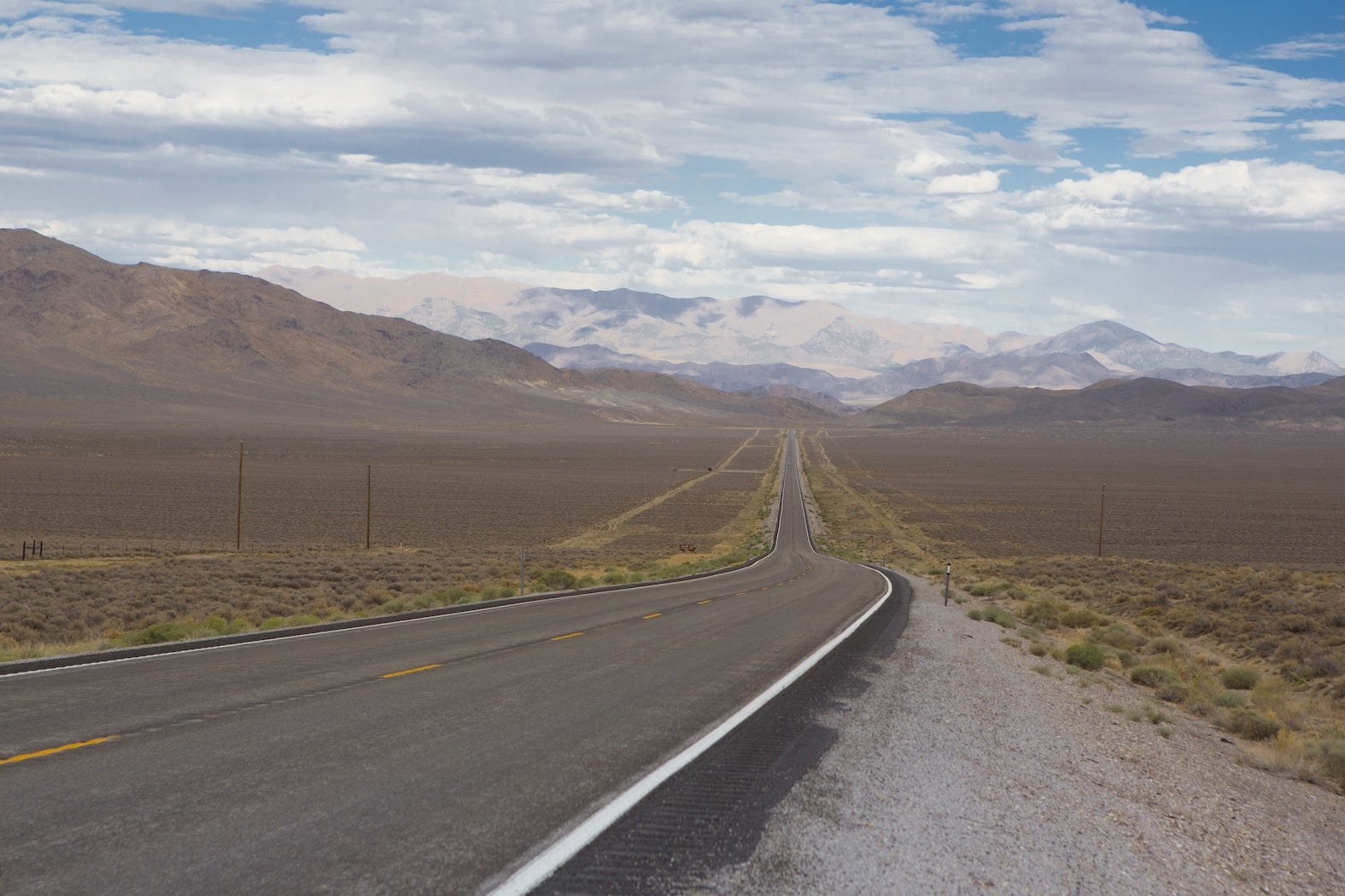
This stretch covers roughly 520 miles of classic Basin and Range country before cresting the Sierra Nevada and dropping into California’s Central Valley. This segment of The Loneliest Road follows US Highway 50 across central Nevada, linking wide desert basins, historic mining towns, and high alpine passes.
Expect long horizons, quiet highways, and dramatic elevation changes, from Utah’s high desert to Lake Tahoe’s granite peaks. Most travelers will want three to four days to explore ghost towns, hike in Great Basin country, and linger along the lake. For a broader look at the entire route, see our complete The Loneliest Road road trip overview.
Driving Across Nevada and the Sierra
This segment crosses western Utah into Nevada near Baker, then continues west on US 50 through Ely, Eureka, Austin, Fallon, and Carson City before climbing over Echo Summit into South Lake Tahoe and descending toward Sacramento. Elevations range from about 4,000 feet in the basins to more than 7,300 feet near Lake Tahoe.
Late spring through early fall offers the most predictable weather. Winter storms can close or restrict travel over Sierra passes, and services between towns in Nevada are limited. As outlined in our The Loneliest Road road trip guide, planning fuel stops is part of the experience here.
Quick Road Trip Stats
| Detail | Info | Notes |
|---|---|---|
| Total Distance | About 520 miles | Delta, UT to West Sacramento, CA |
| Drive Time | 8.5 to 9 hours | Without extended stops |
| Primary Routes | US 50 | Plus short connectors in UT and CA |
| Recommended Duration | 3 to 4 days | To explore towns and trails |
| Cell Service | Limited to spotty | Improves near larger towns |
| Fuel Stops | Baker, Ely, Eureka, Austin, Fallon, Carson City | Gaps up to 70 miles |
Day-by-Day Road Trip Itinerary
Day 1: Delta, UT to Ely, NV
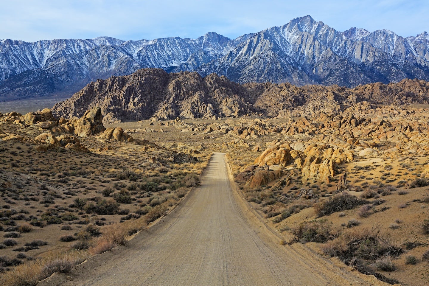
Approx. 120 miles, 2.5 hours driving. From Delta, head west toward the Nevada state line, skirting the northern edge of Great Basin National Park. The highway is generally straight and lightly traveled, with expansive desert views and distant mountain ranges.
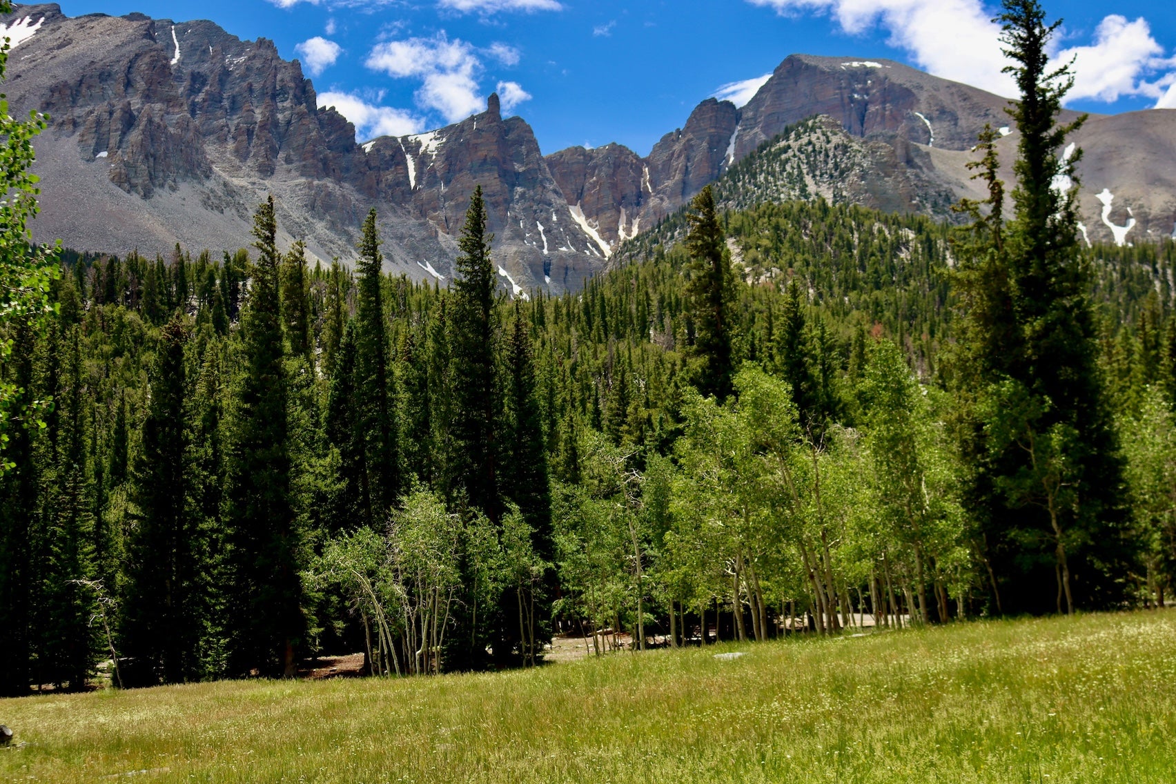
In the morning, consider a short detour south into Great Basin National Park to hike part of the Bristlecone Pine Trail, a 2.8-mile loop at 10,000 feet with ancient trees and sweeping views. Back on US 50, stop in Baker for fuel and a meal before crossing into Nevada.
Spend the afternoon in Ely exploring the Nevada Northern Railway Museum, where restored steam engines still run excursion rides. Overnight in Ely, which has full services, grocery stores, and several campgrounds.
If you have extra time and want to swap high desert basins for red rock drama, consider a southern detour to Valley of Fire State Park. Arch Rock Campground sits among sculpted sandstone formations and glowing red cliffs, offering one of Nevada’s most photogenic camping settings. Sites are simple but surrounded by rock formations that catch sunrise and sunset light in dramatic color. It is not directly on US 50, but for travelers willing to add a few hours, it delivers a completely different desert experience.
If you would rather begin this stretch with canyon walls instead of open desert, detour south toward Moab and the Fisher Towers area. Fisher Towers Campground sits along the Colorado River beneath towering red rock spires, offering a quieter and more intimate alternative to busier Moab campgrounds. The setting feels cinematic, especially in late afternoon light when the sandstone glows. It adds extra driving time, but it is a memorable way to start the Nevada crossing.
Day 2: Ely to Austin, NV
Approx. 170 miles, 3 hours driving.
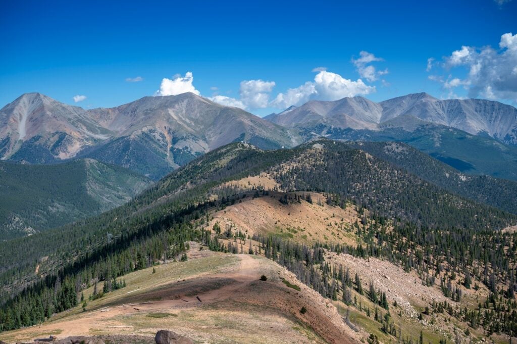
This is the heart of the Loneliest Road experience, crossing multiple mountain passes and wide basins. The road climbs and descends repeatedly, with grades that can be steep but well maintained.
Stop in Eureka, about 78 miles west of Ely, to walk its historic downtown and tour the Eureka Opera House, typically open seasonally. The Eureka Sentinel Museum offers insight into Nevada’s mining past.
Continue to Austin, perched on a mountainside along US 50. In the afternoon, hike a portion of the Toiyabe Crest Trail for high desert views, or drive a few miles up to Stokes Castle, a three-story stone tower built in 1897. Overnight in or near Austin, where services are limited but available.
Day 3: Austin, NV to South Lake Tahoe, CA
Approx. 190 miles, 3.5 to 4 hours driving.
From Austin, continue west through Fallon, where US 50 meets more frequent traffic and larger grocery stores. Fallon is a good place to refuel and restock before heading toward the Sierra.
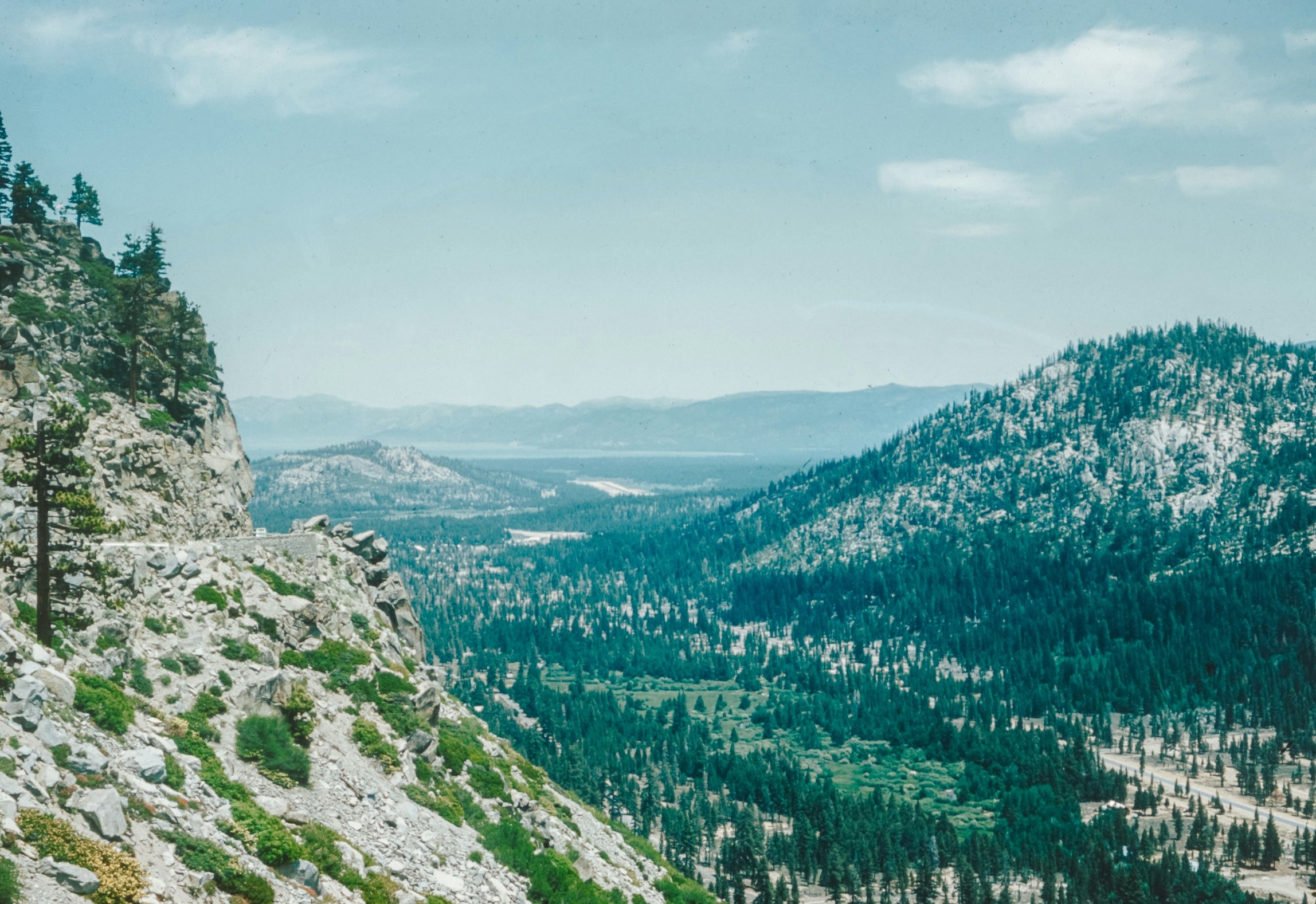
West of Fallon, the landscape shifts as you approach Carson City and then begin climbing toward Lake Tahoe. Consider a short walk at Sand Harbor in Lake Tahoe Nevada State Park, known for granite boulders and clear water. Park information and seasonal details are available at the Lake Tahoe Nevada State Park website.
Cross into California near Stateline and settle in South Lake Tahoe for the night. The cool mountain air and lakefront sunsets feel worlds away from the desert you crossed earlier.
Day 4: South Lake Tahoe to West Sacramento, CA
Approx. 85 miles, 1.5 to 2 hours driving.
Climb over Echo Summit on US 50, where winter chain controls are common during storms. The descent into the foothills brings forested curves, then vineyards and farmland as you approach Placerville.
Stop in historic Placerville to browse Main Street or visit the El Dorado County Historical Museum. From there, continue west into the Sacramento Valley. Arrive in West Sacramento along the river, where paved trails and waterfront parks offer a relaxed finale to this rugged stretch of highway.
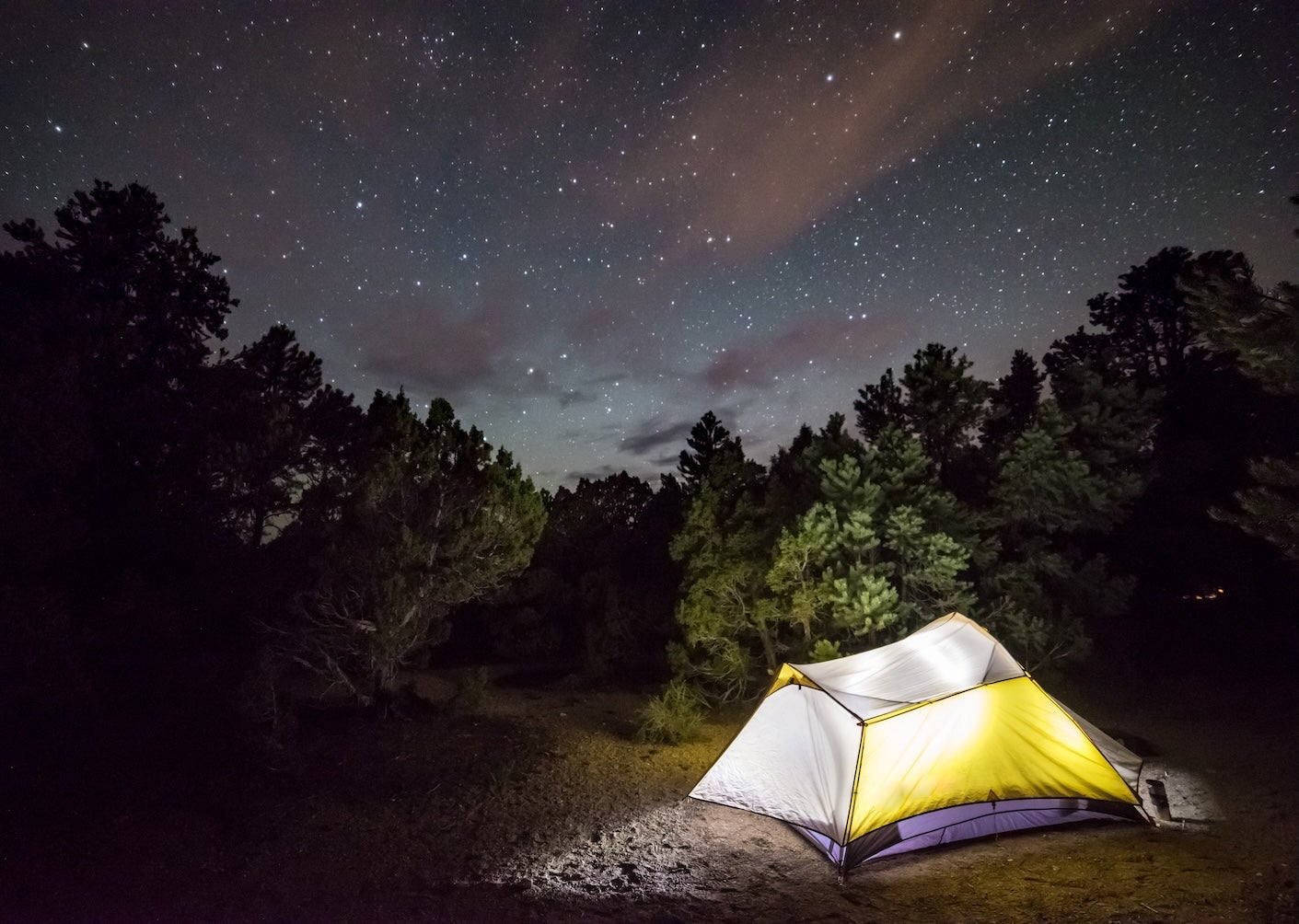
Campgrounds Along US 50
Nevada Beach Campground near South Lake Tahoe sits in a pine forest just steps from a sandy lakeshore. Popular with both tent campers and RV travelers, it offers easy lake access, restrooms, and proximity to bike paths along the shoreline.
Cave Lake State Park Campground southeast of Ely provides a cooler mountain setting at about 7,300 feet. Campers enjoy fishing, small boat rentals, and access to short hiking trails around the reservoir.
Hickison Petroglyph Recreation Area between Eureka and Austin offers a small, quiet campground near a hillside covered in ancient rock art. Sites are simple but scenic, ideal for travelers who want a peaceful overnight stop.
Fort Churchill State Historic Park Campground near Fallon pairs shaded sites with access to adobe ruins from an 1860s military fort. It is a convenient stop before climbing toward the Sierra.
D.L. Bliss State Park Campground on the west shore of Lake Tahoe features forested sites and access to the Rubicon Trail. Reservations are often required in summer due to high demand.
Beals Point Campground at Folsom Lake near the Sacramento area offers an easy final night close to West Sacramento, with swim beaches, paved bike trails, and both tent and RV sites.
Top Activities on This Segment
Natural Highlights
The Bristlecone Pine Trail in Great Basin National Park is a moderate 2.8-mile loop with interpretive signs and high elevation views. At Lake Tahoe, the Rubicon Trail connects D.L. Bliss and Emerald Bay for a scenic coastal hike of about 6.5 miles one way.
Cultural and Historic Sites
The Nevada Northern Railway Museum in Ely operates historic train rides on select days. In Eureka and Austin, preserved 19th-century buildings line the main streets, reflecting the region’s silver mining boom.
Outdoor Recreation
Fishing is popular at Cave Lake and along sections of the Carson River. Lake Tahoe offers kayaking, paddleboarding, and swimming in summer, with clearly marked beaches and seasonal lifeguards in certain areas.
Travel Tips for the Delta to West Sacramento Drive
Fuel gaps between Ely and Eureka, and again between Eureka and Austin, can approach 70 miles. Fill up whenever your tank drops below half. Summer temperatures in Nevada often exceed 90 degrees, while nights at higher elevations can be chilly.
Cell service is unreliable across long stretches of US 50 in Nevada. Download maps in advance. In winter, check California road conditions at the Caltrans QuickMap site before crossing Echo Summit, as chain controls are common during storms.
Continue Planning Your Loneliest Road Adventure
This Delta to West Sacramento stretch represents the western half of the journey across the Great Basin and over the Sierra Nevada. It is just one portion of the full Loneliest Road road trip itinerary, which covers the route end to end.
Explore our other segment guides to plan each section in detail, and use The Dyrt PRO to find offline maps and campground reviews along the way. With a bit of preparation, this remote highway becomes one of the most rewarding road trips in the West.
The Dyrt is the only camping app with all of the public and private campgrounds, RV parks, and free camping locations in the United States. Download now for iOS and Android.Popular Articles:
Articles on The Dyrt Magazine may contain links to affiliate websites. The Dyrt receives an affiliate commission for any purchases made by using such links at no additional cost to you the consumer.