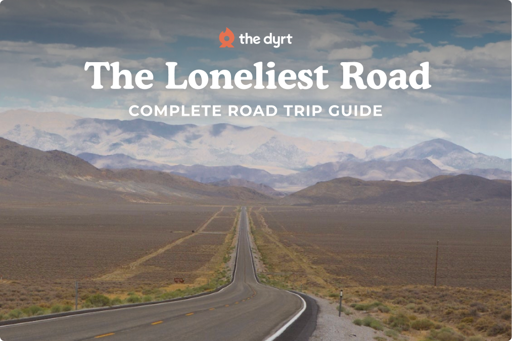
“For the unhurried, this little-known highway is the best national road across the middle of the United States,” wrote travel author William Least Heat-Moon about U.S. Route 50. Stretching 3,073 miles from the Atlantic in Ocean City, Maryland to the California capital of West Sacramento, the route crosses 12 states and a cross-section of American landscapes.
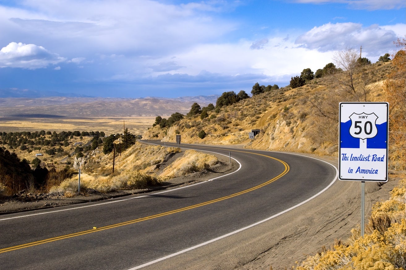
It can be traveled east-to-west or west-to-east. Each direction offers a different transition from coastal plains to desert basins to alpine mountains. Life Magazine’s 1986 “Loneliest Road in America” tag stuck to Nevada’s section, but the full drive is loaded with history, scenery, and plenty of camping informed by The Dyrt community. Spring and fall are generally the best windows to tackle this trip.
Route Overview & Quick Facts
| Total Distance | 3,073 miles |
| States Crossed | 12 (MD, VA, WV, OH, IN, IL, MO, KS, CO, UT, NV, CA) |
| Recommended Time | 20–30 days |
| Best Seasons | Spring (Apr–May) & Fall (Sept–Oct) |
| Route Type | Mostly two-lane highway; well-maintained, with some very remote stretches |
| Vehicle Needs | Any standard vehicle (RVs okay with planning) |
| Notable Feature | Only coast-to-coast route through Basin-and-Range country |
| Main Challenges | Fuel planning in Nevada; steep mountain passes; extreme temperature swings |
What Makes The Loneliest Road Special
The Loneliest Road links the Atlantic and the Pacific by cutting through some of the country’s least-traveled regions, far different from the interstates. Life Magazine’s jab at Nevada’s stretch in 1986 ended up boosting curiosity, and the state embraced the title. Along The Loneliest Road you pass through many national forests, near multiple national parks, and past sites tied to pioneer trails, Native homelands, and old mining booms. Big horizons, authentic small towns, and long quiet miles define the drive.
Regional Highlights Along The Loneliest Road
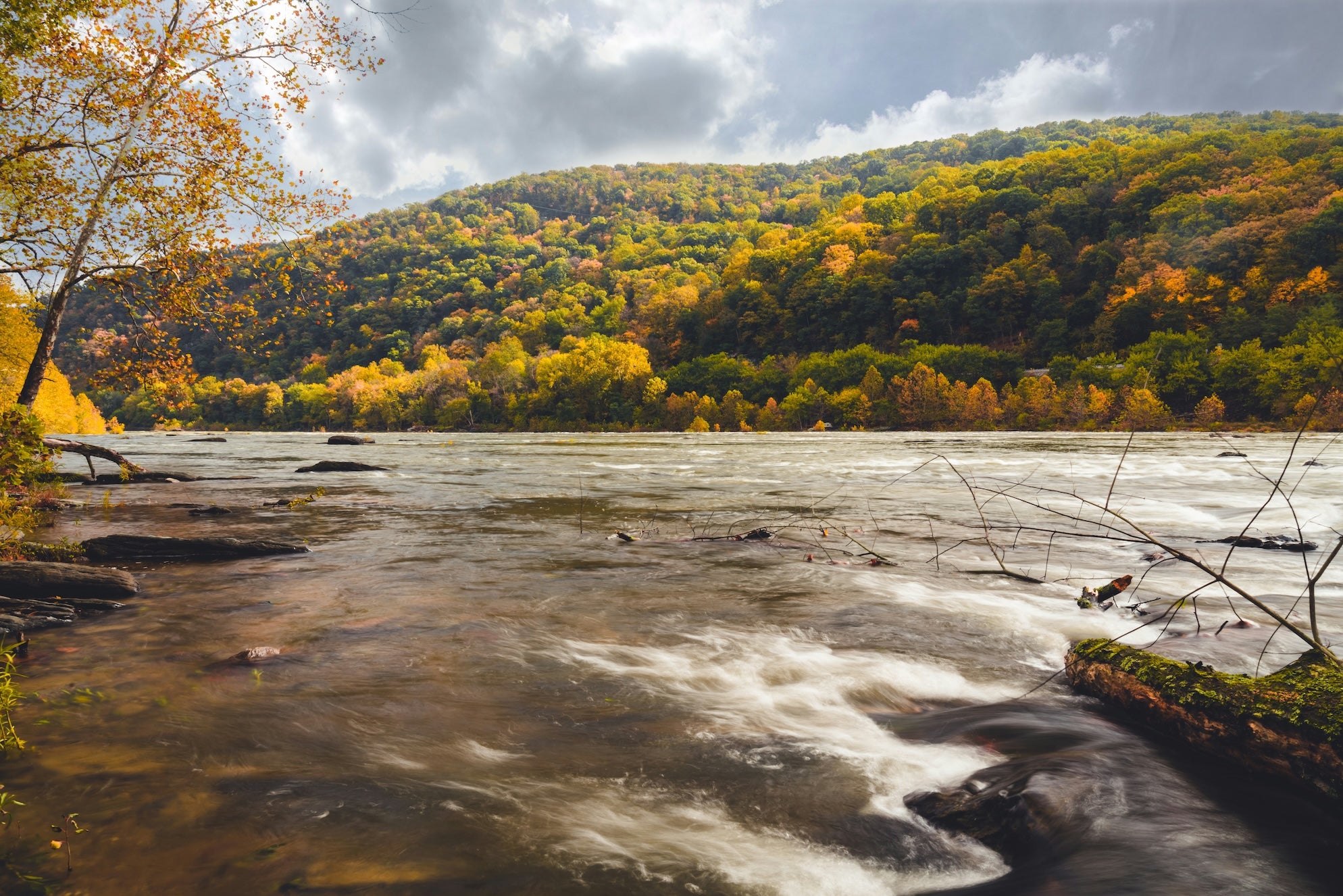
Segment 1: Annapolis, Maryland to Parkersburg, West Virginia
This segment runs from Annapolis, Maryland on the Chesapeake Bay to Parkersburg, West Virginia on the Ohio River, covering the eastern mountains, historic towns, and the Appalachian transition zone.
Harpers Ferry history and Appalachian Trail access sit close to the corridor. Expect leafy river valleys, humid summers, and occasional winter snow.
Segment 2: Parkersburg, West Virginia to Kansas City, Missouri
This segment stretches from Parkersburg, West Virginia, across Ohio, Indiana, Illinois, and into Kansas City, Missouri, following farmland corridors, river crossings, and Midwestern state capitals.

Segment 3: Kansas City, Missouri to Pueblo, Colorado
This segment runs from Kansas City, Missouri, across the Kansas prairie country to Pueblo, Colorado, at the base of the Rocky Mountains, with long agricultural stretches and classic Plains towns.
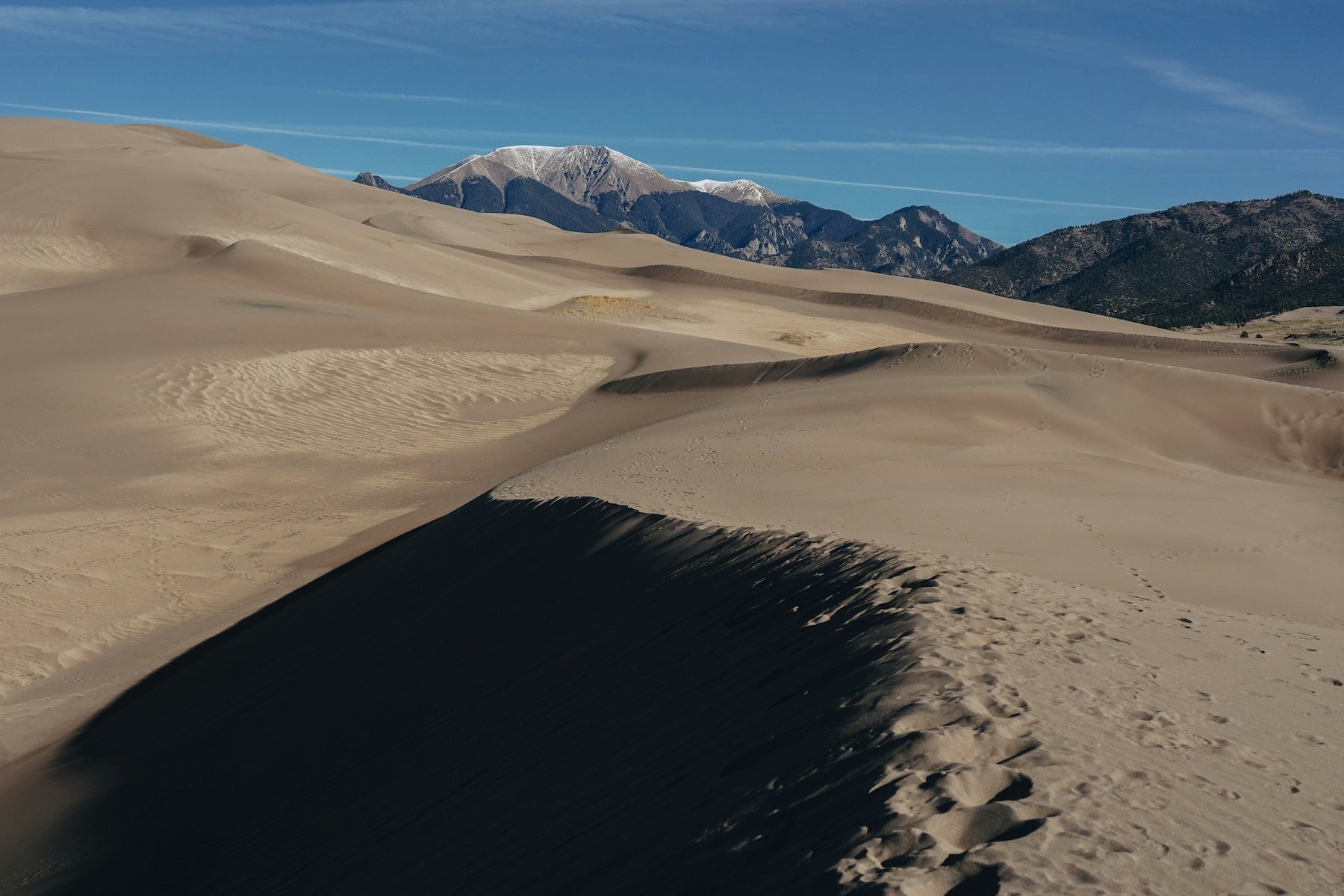
Colorado brings high country and a Continental Divide crossing at Monarch Pass (11,312 feet). Great Sand Dunes National Park is a worthy detour (about 90 miles round-trip from near Salida) rather than a direct on-route stop. The Million Dollar Highway and Jefferson City Highway are scenic byways reachable from this region. Altitude and fast-changing weather are part of the package.
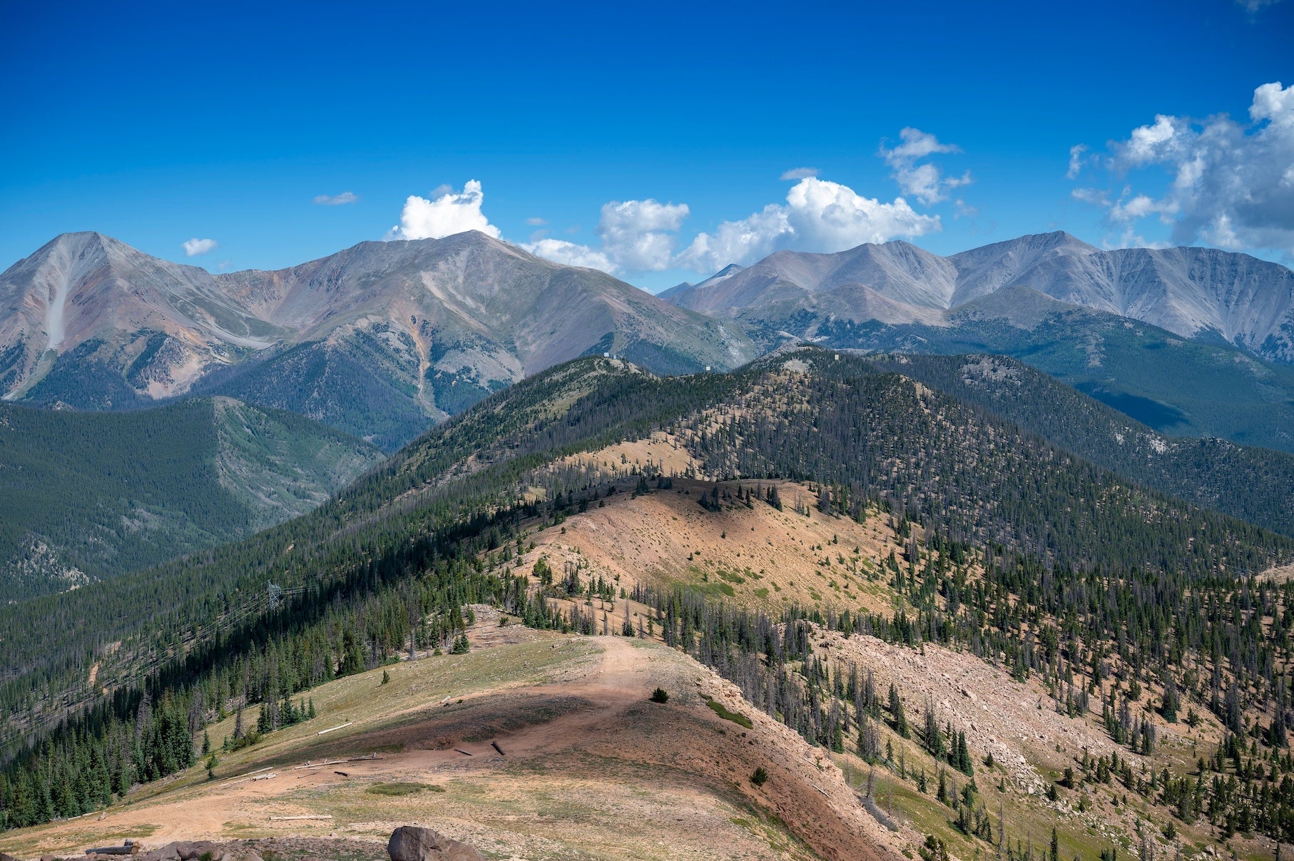
Segment 4: Pueblo, Colorado to Delta, Utah
This segment climbs from Pueblo, Colorado, over the Continental Divide, and through western Colorado canyon country to Delta, Utah, featuring high passes, reservoirs, and national park detours.
Utah to Nevada is where the “Loneliest Road” name fits. Central Nevada’s basin-and-range means 70–110 miles between services, isolated passes, and small towns with Pony Express history. Summer often tops 100°F; winter nights drop well below freezing.
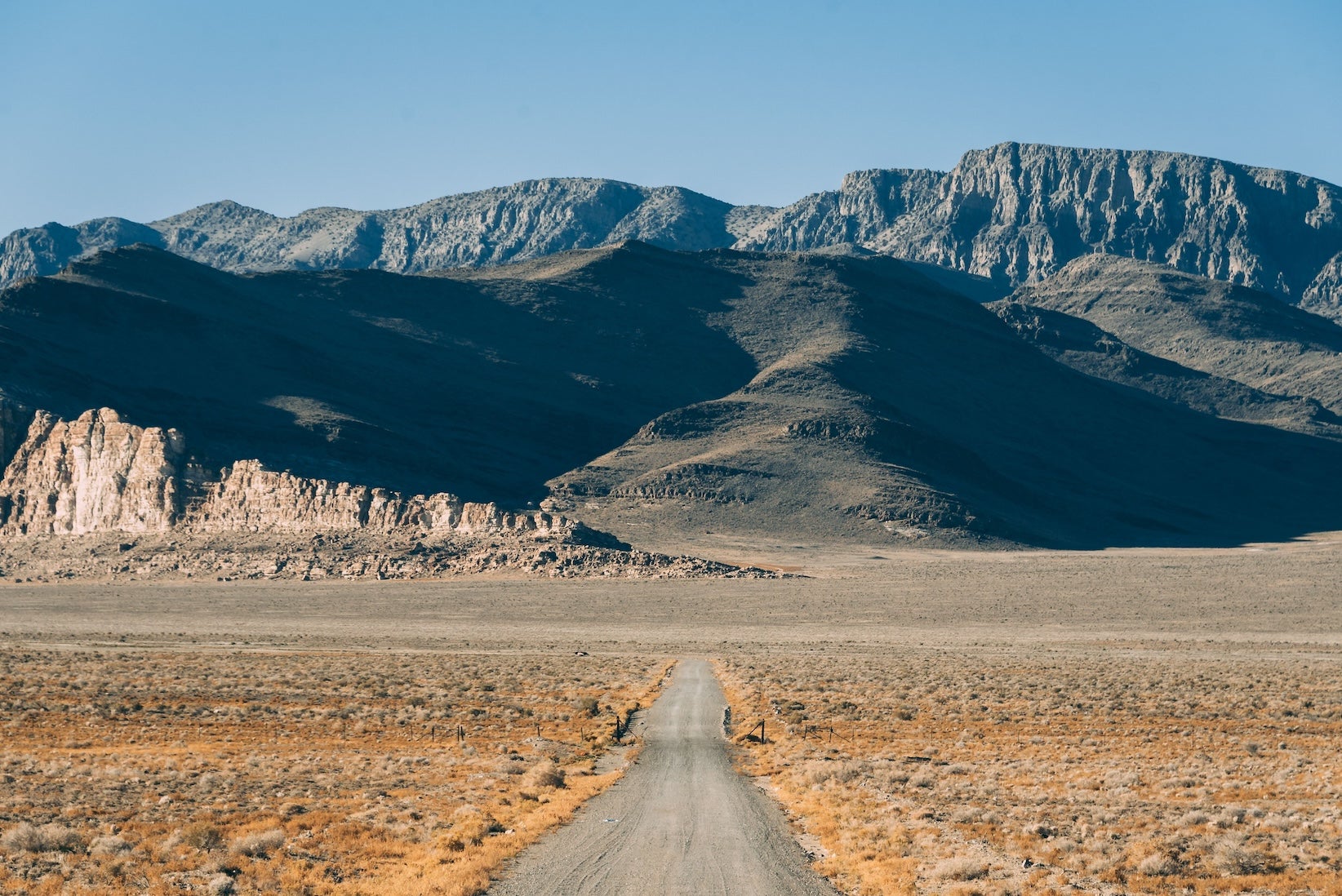
Segment 5: Delta, Utah to West Sacramento, California
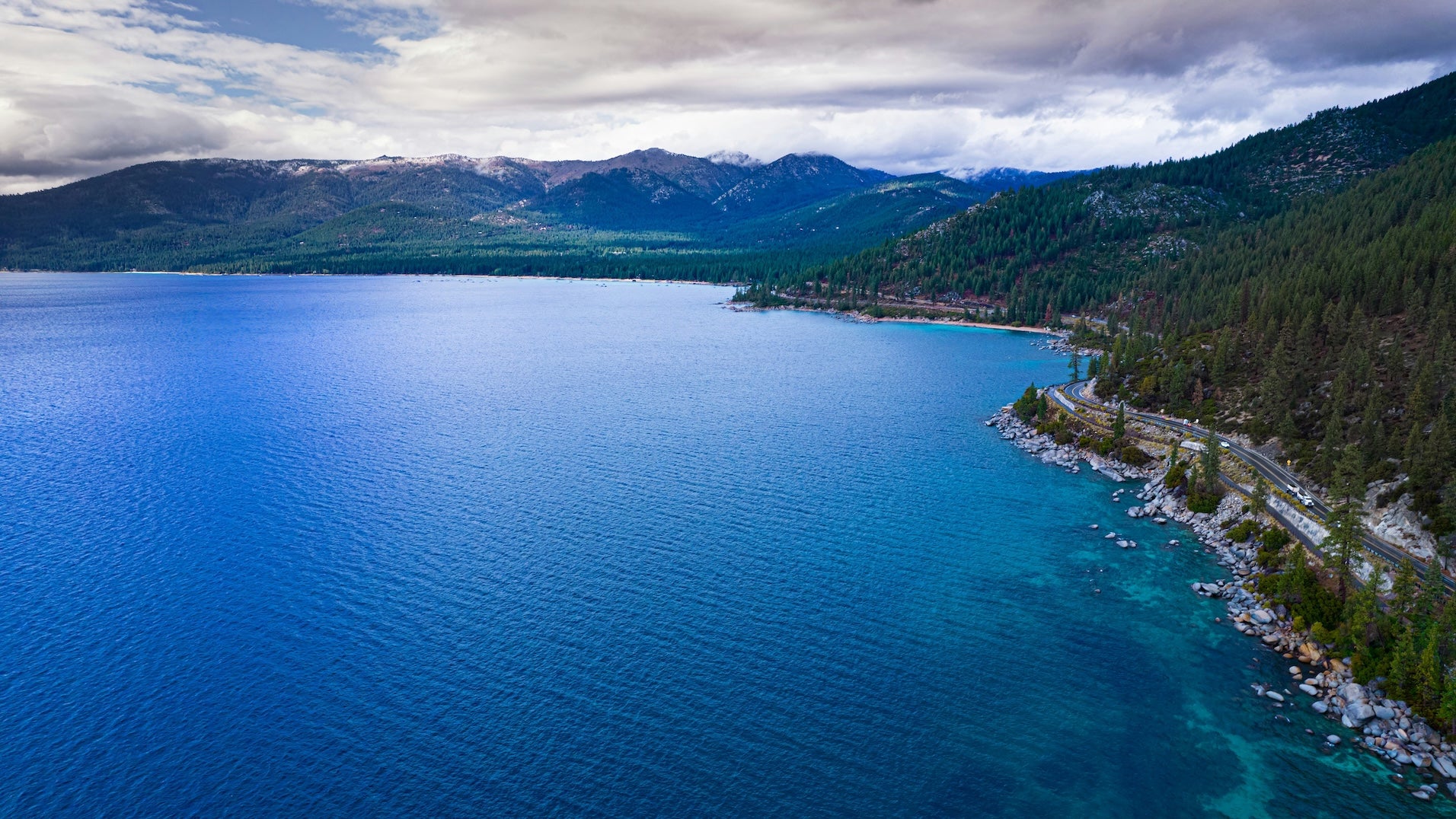
This segment covers Delta, Utah across Nevada’s basin and range country and over the Sierra Nevada to West Sacramento, California, including the Loneliest Road core and the Lake Tahoe corridor.
You’ll climb into the Sierra near Lake Tahoe, then descend through Gold Rush foothills toward the Sacramento Valley. Expect steep grades, possible winter snow at elevation, and a quick shift from alpine forest to farm country as you approach West Sacramento.
Top 10 Best Places to Camp Along The Loneliest Road
- Marysville City Park (Marysville, KS — Midwest): A surprisingly charming small-town stop with free camping beneath mature shade trees, clean facilities, and a peaceful park setting just minutes off the highway. An easy, comfortable overnight for travelers crossing the Plains.
- Elk City Lake Park Campground (in Elk City, OK — Southern Plains): A peaceful lakeside campground in Elk City where open skies, waterfront campsites, and quiet walking trails create an easy reset after long highway miles.
- Arch Rock Campground (Valley of Fire State Park, NV — Mojave Desert): Campsites surrounded by blazing red sandstone formations in Nevada’s most dramatic desert landscape. Sunrises ignite the cliffs and sunsets glow across the valley, making this one of the most memorable camping stops in the Mojave.
- Fisher Towers Campground (near Moab, UT — Colorado Plateau detour): A small, scenic riverside campground tucked beneath towering red rock spires along the Colorado River. Quiet nights, dramatic desert cliffs, and star-filled skies make it a favorite among photographers and road-trippers.
- Assateague State Park Campground (Ocean City, MD — Atlantic/Appalachia): Beachfront camping on a barrier island where the sound of crashing waves and sightings of Assateague’s famous wild horses create a memorable start to the journey.
- Tygart Lake State Park Campground (Grafton, WV — Atlantic/Appalachia): A wooded lakeside campground with peaceful water views, boat access, and forested hiking trails, offering a calm Appalachian stop just a short drive from U.S. 50.
- Knob Noster State Park Campground (Knob Noster, MO — Midwest): A quiet, tree-filled campground with spacious sites, modern hookups, and miles of wooded trails, making it an easy and relaxing overnight along Missouri’s stretch of the route.
- Piñon Flats Campground (Great Sand Dunes NP, CO — Rocky Mountains detour): Campsites set at the base of North America’s tallest sand dunes, where sunrise lights up sweeping golden ridges and the surrounding mountains create one of the most dramatic landscapes in the park system.
- Ward Mountain Campground (near Ely, NV — Great Basin): High-elevation Forest Service camping surrounded by pine forest at over 7,000 feet, offering cool mountain air, quiet nights, and sweeping views of Nevada’s vast basin-and-range landscape.
- Nevada Beach Campground (Lake Tahoe, NV — Sierra to Pacific): A beautiful lakeside campground with towering pines, a broad sandy beach, and clear blue Tahoe water just steps from camp. One of the most scenic overnight stops before reaching the Pacific.
Activities & Attractions Overview
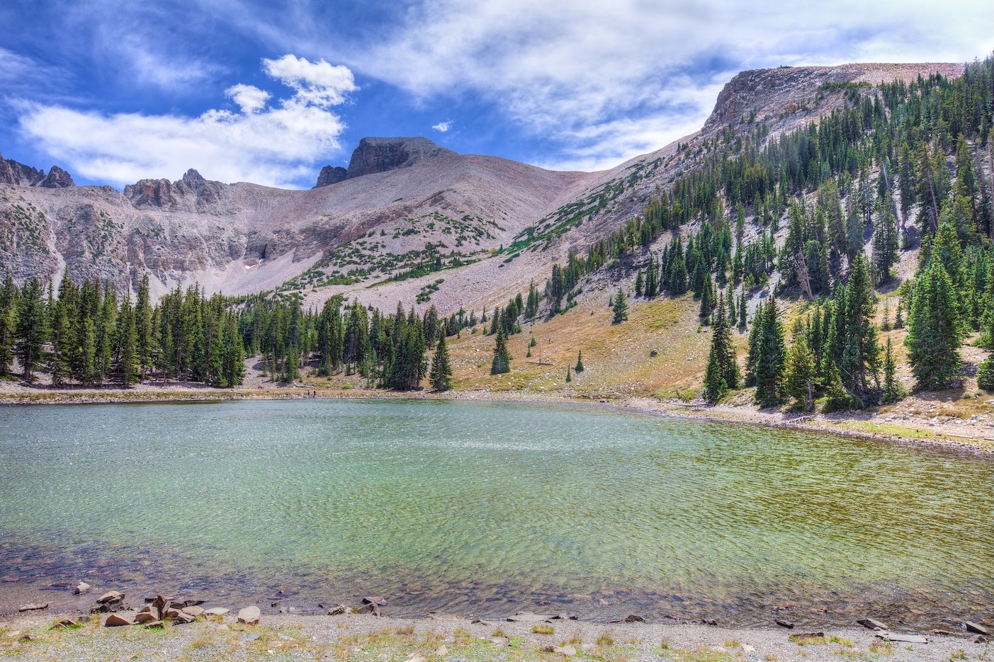
Outdoor options track the changing landscapes: hiking and fishing from Appalachia to the Rockies; hot springs and signed OHV areas in parts of Colorado and Nevada; and wide-open night skies across the Great Basin. Great Basin National Park sits near the route in Nevada, while Great Sand Dunes in Colorado is a detour rather than a direct on-route stop. History stays close to the pavement—Civil War sites back east, Lincoln country in Illinois, and Western mining and ghost towns out west. Capital cities like Carson City and Sacramento add museums and classic main streets. For deeper details and stop-by-stop ideas, see the segment guides below.
Explore Route Segments in Depth
Use the segment guides for day-by-day ideas, comprehensive campground lists, activities, mileage, and timing tips. Segments work in either direction.
- Segment 1: Annapolis to Parkersburg
- Segment 2: Parkersburg to Kansas City
- Segment 3: Kansas City to Pueblo
- Segment 4: Pueblo to Delta
- Segment 5: Delta to West Sacramento
Planning Your Journey Along The Loneliest Road
Fuel & Services
The longest gaps appear in Nevada (roughly 70–110 miles). Once west of Utah, top off whenever you can. Small-town stations may keep limited hours—plan fuel, water, and food ahead.
Seasonal Considerations
Best windows: April–May and September–October. Summer heat in desert sections often tops 100°F. Winter can bring snow and temporary pass closures in the Rockies and Sierra. Colorado’s traction law (Sept 1–May 31) requires proper tires or chains on mountain passes.
Connectivity
Expect long dead zones, especially across Nevada. Download offline maps and campground info before remote stretches. Check conditions with state DOTs:
- Nevada DOT 511: nvroads.com
- Colorado DOT (COtrip): cotrip.org
- California DOT (QuickMap): quickmap.dot.ca.gov
- Utah DOT: udottraffic.utah.gov
- Kansas DOT (KanDrive): kandrive.gov
- Missouri DOT Traveler Info: traveler.modot.org
- Illinois DOT: gettingaroundillinois.com
- Indiana 511: 511in.org
- Ohio (OHGO): ohgo.com
- West Virginia 511: wv511.org
- Virginia 511: 511virginia.org
- Maryland 511: roads.maryland.gov/md511
Budget Considerations
Camping keeps costs low—many public sites are free or under $20, while private campgrounds can be $40/night. Fuel will be a major expense (often pricier in remote areas). Stock up on groceries in larger towns. A shoestring camping trip along The Loneliest Road might cost only a couple thousand dollars, whereas adding hotels and restaurants could multiply the total budget.
Additional Resources
Check Nevada’s Highway 50 Survival Guide passport program. The Dyrt PRO helps with offline maps and trip planning. For responsible camping, see BLM dispersed camping guidance and Leave No Trace principles. For reservations, start from The Dyrt campground pages above and follow the “Make a Reservation” links when available.
The Dyrt is the only camping app with all of the public and private campgrounds, RV parks, and free camping locations in the United States. Download now for iOS and Android.Popular Articles:
Articles on The Dyrt Magazine may contain links to affiliate websites. The Dyrt receives an affiliate commission for any purchases made by using such links at no additional cost to you the consumer.