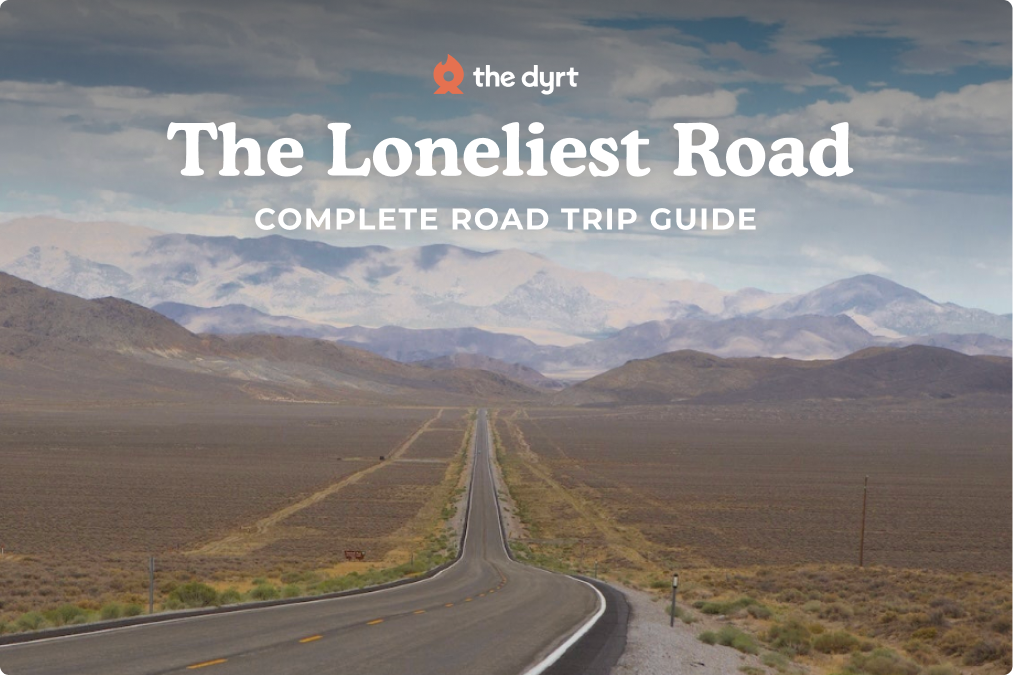
This Annapolis to Parkersburg segment is the opening leg of The Loneliest Road, the U.S. 50 road trip that runs coast to coast, and it is designed for travelers who like camping-driven pacing. You will cover about 340 miles from Chesapeake Bay to the Ohio River, brushing past Washington, D.C., before the road settles into Virginia pastureland, horse farms, and West Virginia ridges. The variety is the point: colonial streets in Annapolis, a quick city stretch, then long green miles, small towns, and a final riverfront finish. Plan 2 to 3 days here, and for the full route, see our complete Loneliest Road road trip overview.
Segment Overview
US 50 changes quickly on this stretch. Near Annapolis and the Beltway, it is a busy commuter route, and timing matters. West of the suburbs, the road settles into open country, then becomes a slower, twistier drive after you cross into West Virginia. Spring and fall bring the easiest weather for city walking and short hikes. Winter is quieter, but ridges can pick up snow and ice, so check road conditions before you commit to a long mountain day.

Annapolis to Parkersburg Road Trip Quick Stats
| Trip Detail | Info |
|---|---|
| Total Distance | About 340 miles |
| Estimated Drive Time | About 6 hours (no stops) |
| States | MD, D.C., VA, WV |
| Primary Route | US 50 |
| Recommended Duration | 2 to 3 days |
| Cell Service | Good near cities, spotty in WV valleys |
| Fuel Stops | Annapolis, D.C. suburbs, Winchester area, Romney, Clarksburg, Parkersburg |
Two Day Annapolis to Parkersburg Road Trip
Day 1: Annapolis to The Cove Campground
Mileage: about 120 miles. Drive time: 3 to 4.5 hours, plus stops.
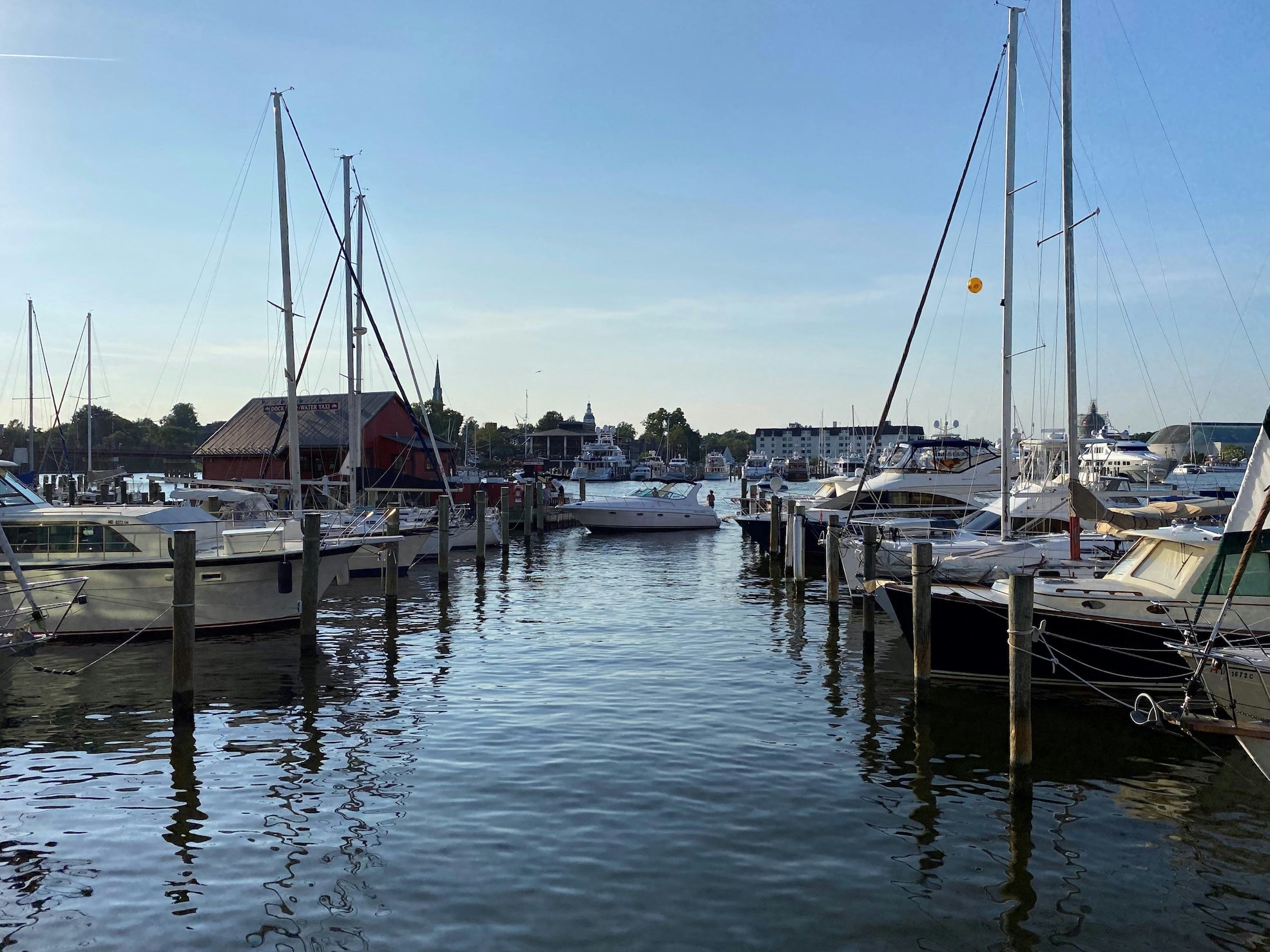
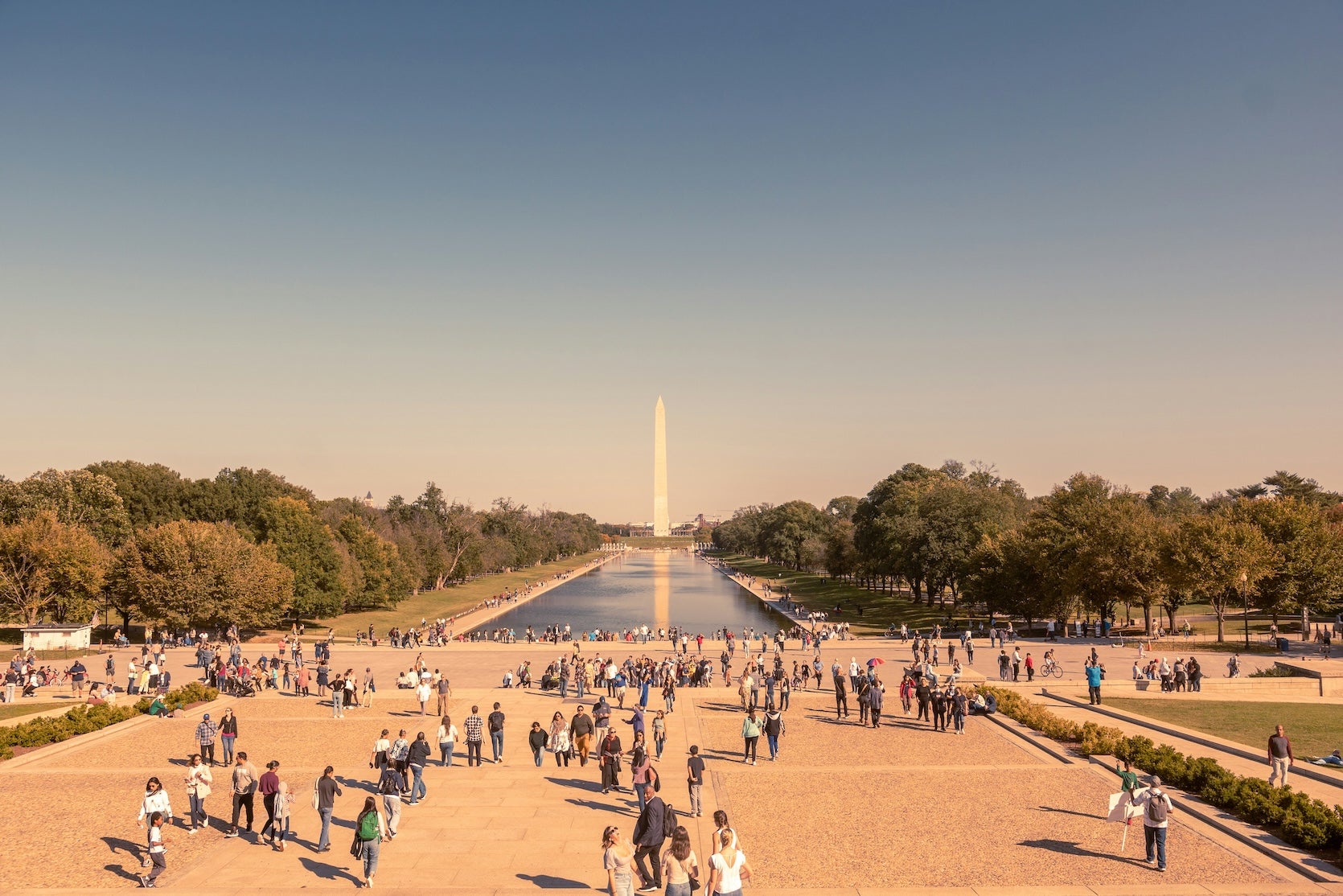
Start with a quick Annapolis loop: City Dock for water views, then State Circle for history. Head west on US 50 before traffic builds, because the D.C. metro portion can stretch a short drive into a long one. For a simple city stop, park once and use Metro for the National Mall and one museum, then return to US 50 for Virginia. Break up the afternoon in Middleburg for coffee, and if you want a hike, add Sky Meadows State Park for a moderate loop to the Piedmont overlooks.
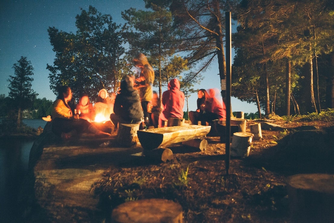
Camp overnight at The Cove Campground near Winchester.
Food and resupply: Stock up in the D.C. suburbs or Winchester area before you turn in. As outlined in our The Loneliest Road road trip planning guide, this is also the best spot to decide whether you want an extra night at a state park tomorrow.
Day 2: The Cove to Parkersburg Drive
Mileage: about 240 to 260 miles. Drive time: 4.5 to 5.5 hours, plus stops.
US 50 climbs into West Virginia through small towns like Romney, then continues west with more curves and fewer passing zones. Keep your pace relaxed and build in two breaks, one in Romney for coffee and fuel, then another near Grafton at Tygart Lake State Park for a short walk. Before Parkersburg, add a tunnel walk or a quick bike mile on the North Bend Rail Trail for a change of pace, then plan lunch or a late snack around Clarksburg or Bridgeport. Clarksburg and Parkersburg are your easiest reliable last-minute grocery stops.
Overnight: River Run Campground at North Bend State Park if you want woods, or stay in Parkersburg if you prefer a hotel night.
Food and resupply: If you camp, shop in Clarksburg or Parkersburg first, then head to the campground.
Optional detour: If you arrive early, look at sternwheeler times for Blennerhassett Island.
Campgrounds to Consider on This Segment
- Assateague State Park Campground is the coastal bonus, best for a pre-trip night or two before heading inland. Expect beach access, steady wind, and island wildlife. Check park updates on Maryland DNR.
- Greenbelt Park Campground is one of the most practical ways to camp close to Washington, D.C. It is wooded and straightforward, and it works well as a Metro-assisted basecamp for a museum day.
- Little Bennett Campground is a strong backup if Greenbelt is full or you want more developed amenities. Some loops have hookups and the sites tend to feel roomy and well spaced.
- Sky Meadows State Park Campground is hike-in camping with a short approach, so pack light. The payoff is easy access to trails and a quieter night than you will get near the Beltway.
- The Cove Campground sits west of Winchester with lakes, swimming, and plenty to do on-site. It can feel lively on weekends, which works well for families and groups traveling together.
- Tygart Lake State Park Campground is a calm West Virginia stop that fits nicely into the long Day 2 drive. Use it for a lake-side dinner, a short walk near camp, and a slower start the next morning.
- River Run Campground at North Bend State Park pairs camping with the North Bend Rail Trail and puts you within an easy drive of Parkersburg. It is a good pick when you want to end the day under trees instead of city lights.
Top Activities and Attractions on This Segment
Natural highlights
Sky Meadows State Park is the easy win for views. Pick a moderate loop that reaches the Piedmont overlooks for wide-open farm-country scenery. In West Virginia, short trails at Tygart Lake make a quick break feel like a real outing.
Cultural and historic stops
Give Annapolis at least a morning, then decide how much D.C. you want to add. In Parkersburg, Blennerhassett Island Historical State Park is accessed by sternwheeler from downtown when boats operate. Check current details and hours on West Virginia State Parks.
Outdoor recreation
The North Bend Rail Trail is built for low stress miles on foot or bike, with tunnels and bridges along the way. Carry a headlamp for any tunnel section and plan on cooler, damp air inside.
Unique stops
Middleburg is a quick stop that breaks up the Virginia portion of US 50. Grab coffee, browse a few blocks, and get back on the road without losing half a day.
Travel Tips for This US 50 Segment
Time your D.C. driving, it is the difference between a smooth day and a long one. West of Winchester, speeds drop and curves increase, so leave buffer time, top off fuel, plan on slower progress behind trucks on the steeper climbs, and use pull-offs to let faster traffic pass. Check the forecast before you commit to the mountain drive, especially in winter, and keep a headlamp handy for rail-trail tunnels because they stay dark and damp, even in summer. At Assateague, keep food secured, give wild horses space, do not feed them, and review Leave No Trace principles before you go.
More Loneliest Road Segments and Resources
This Annapolis to Parkersburg drive is one piece of a much longer route. Use our full Loneliest Road road trip itinerary to connect segments and adjust pacing, and look for the other segment articles to cover what comes next. For offline access and planning tools, explore The Dyrt PRO.
The Dyrt is the only camping app with all of the public and private campgrounds, RV parks, and free camping locations in the United States. Download now for iOS and Android.Popular Articles:
Articles on The Dyrt Magazine may contain links to affiliate websites. The Dyrt receives an affiliate commission for any purchases made by using such links at no additional cost to you the consumer.