150 million years ago, Southeast Colorado looked much different. Instead of cacti and rocks, sequoia trees and ferns grew wild in a tropical landscape that was home to hundreds of dinosaurs. The Purgatoire River Valley was a brackish freshwater lake at the time, and as the dinosaurs roamed, they left massive footprints in the bedrock below that stayed preserved for millions of years.
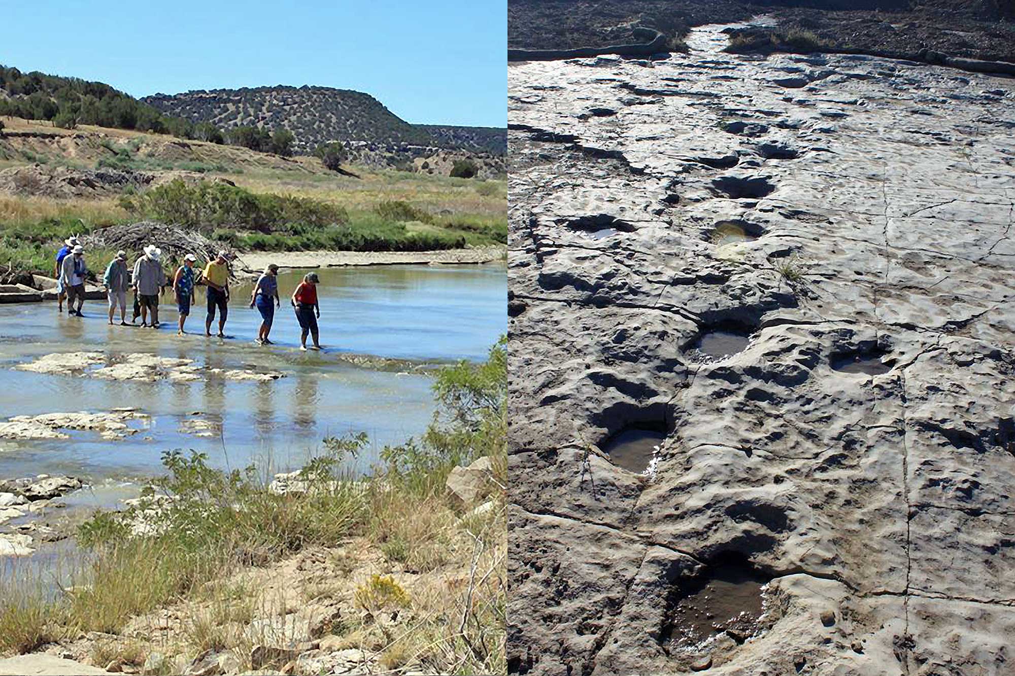
Today, you can follow in the steps of the Brontosaurus and Allosaurus who traversed the region to the Picketwire Canyonlands. More than 1,900 prints from 130 trackways are visible in the mostly-dried riverbed on public land in the Comanche National Grassland in Otero County, Colorado—the largest dinosaur track site in North America.
If you make the 11.2-mile round-trip hike to see the footprints, you’ll discover the remains of a Mexican Mission and cemetery, Native American rock art, the Rourke Ranch historic settlement, and much more.
Visit North America’s Largest Set of Dino Tracks in Colorado’s Picketwire Canyonlands
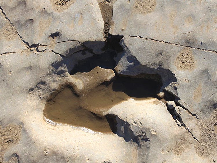
Image courtesy of USFS.
The History of the Picketwire Canyonlands
The Picketwire Canyonlands got their name from the proximity to the Purgatoire River. In the sixteenth century, Spanish explorers died in the canyons without receiving the proper burials and blessings by a priest, so the river was named El Rio de Las Animas Perdidas en Purgatorio (“the River of Souls Lost in Purgatory”). French trappers later shortened the name to the Purgatoire River, meaning purgatory. Later settlers struggled with the pronunciation, and over time, Purgatoire became “Picketwire.”
Today, the dinosaur tracks have made this spot a popular tourist destination, drawing visitors to the rural Eastern Plains from multiple states within a quick drive.
Hike to the Dinosaur Tracks
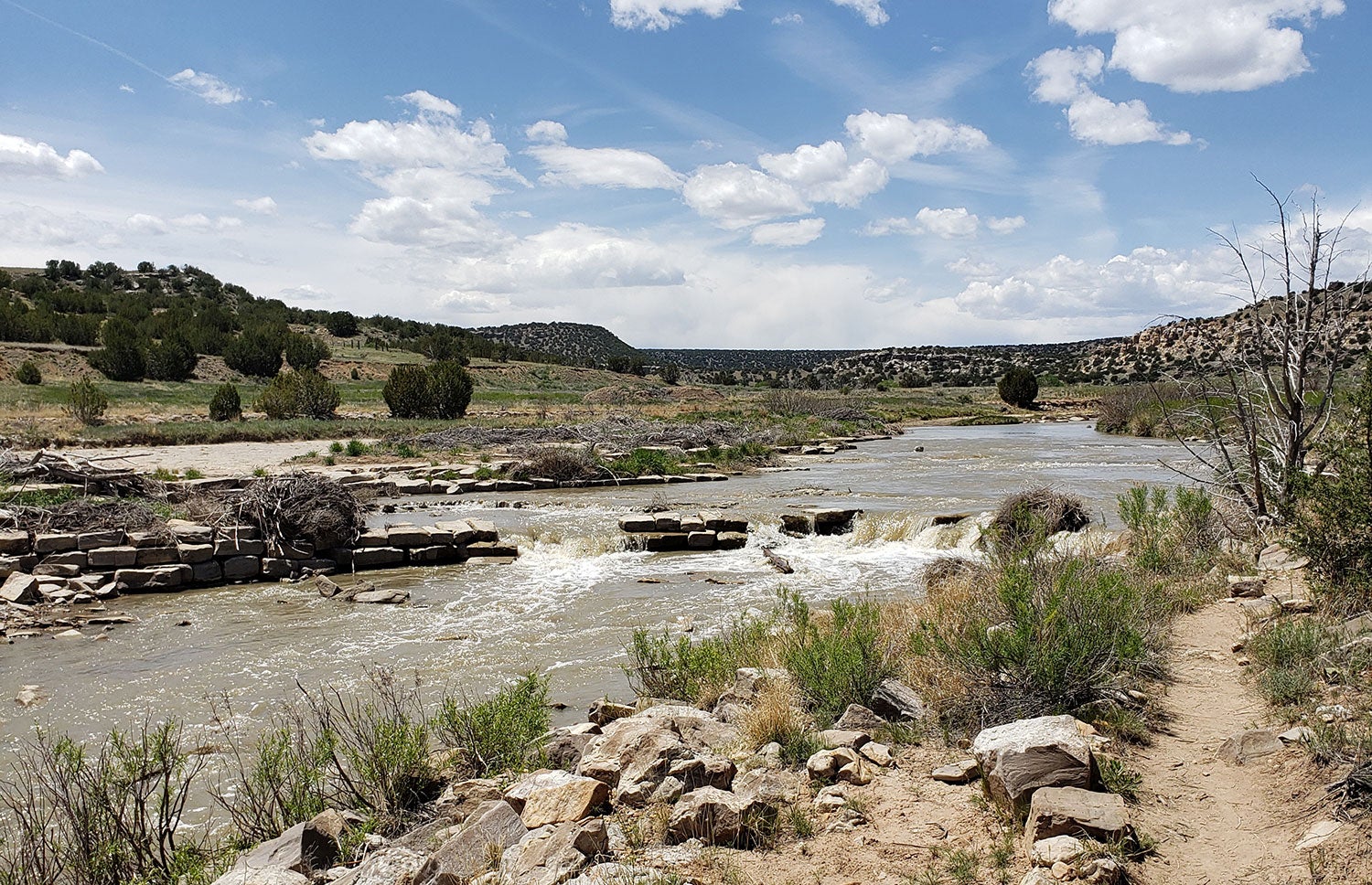
When you’re ready to see the tracks, start at the Withers Canyon Trailhead. The round-trip hike to the dinosaur tracks is a little over 11 miles, and involves a 250-foot descent into the canyons, but most of the trail is flat. Due to the long distances to the various attractions without any shade or water sources along the way, it is highly recommended that all users of the trail plan for extreme heat conditions. Leave early in the morning and carry at least one gallon of water per person. It is also recommended that you wear lightweight clothing that will shield and protect you from direct sunlight.
A few miles into the hike, you’ll come across the Dolores Mission and Cemetery. This historic site was home to many people who migrated from Mexico after the territory south of the Arkansas River became part of the United States at the end of the Mexican American War.
You can see the remains of the Mission and a small cemetery with fragile, elaborately designed stones, some of which date back to the 1890s.
As you continue on your hike, you will pass a replica of an 8-foot-long Apatosaurus shoulder blade bone found in a quarry in the canyon. It’ll give you an idea of how large these giant creatures were. Scientists estimate that this dinosaur was 98 feet long and weighed roughly 40,000 pounds.
Before you reach the tracks, you’ll arrive at an informational placard that will help you identify and differentiate the prints that you will see and the dinosaurs that left them behind. The area where the tracks are located has been preserved by the U.S. Forest Service to prevent the tracks from being washed away by the river, and visitors are able to walk in the steps left behind.
One very distinct set of Brontosaurus tracks can be found on the other side of the river. A sign offers suggestions for where to cross depending on water level, but it’s also recommended that you bring poles or look for sturdy sticks to help you maintain your balance while crossing.
If you continue down the trail after the dinosaur tracks for a 17-mile round trip hike, you’ll find the Rourke Ranch, a cattle and horse ranch established in 1871 that stayed in the Rourke family for three generations. The ranch is now on the National Register of Historic Places and is an excellent example of jacal and adobe-style architecture.
Safety in the Picketwire Canyonlands
While the hike elevation doesn’t change much, the lack of shade and the length of the route make this an advanced hike. Don’t forget to apply and reapply sunscreen often, and make sure that you are as covered as much possible without overheating (consider UV-protective clothing—often breathable and comfortable for desert hiking, but will keep you 100% covered against harmful rays.) There is no drinkable water available anywhere in the canyon, so be smart about water consumption and pay attention to the signs of dehydration. When you’re halfway through your water, turn back.
There are also scorpions, snakes, cacti, and animal holes near or on the trail, so make sure that you pay attention to your surroundings to prevent injury or an attack. Some of the bugs sting or bite, so make sure that you bring plenty of bug spray.
Because you’re in a canyon, it’s also important to check the forecast for rain as flash flooding does occur. If a storm comes through while you are on a hike, seek higher ground immediately.
Take in the Sights at the Surrounding Canyons
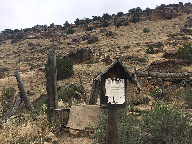
Image from The Dyrt camper Pam G.
The Picketwire Canyonlands are adjacent to Withers Canyon, and both share the same trailhead. If you’re looking for some extra miles (or are just curious about the alien-landscape of these canyons), heading out on these hikes will surely provide you a true Eastern Plains experience. The trails are accessible from dawn to dusk.
For a short trek, do the 1-mile Withers Loop Trail that runs from the trailhead to the rim of Withers Canyon. What it lacks in difficulty, it makes up for in views—they’re incredible.
If you have a four-wheel drive, high clearance vehicle, you can also go on the Picketwire Guided Auto Tour and get the inside scoop on difficult-to-find dinosaur tracks and prehistoric information. It is the only authorized motorized access into Picketwire Canyonlands. No all-wheel drive cars or ATVs are allowed. The tour is offered on Saturdays in May, June, September, and October, and reservations are required to attend.
Camping Around the Dino Footprints
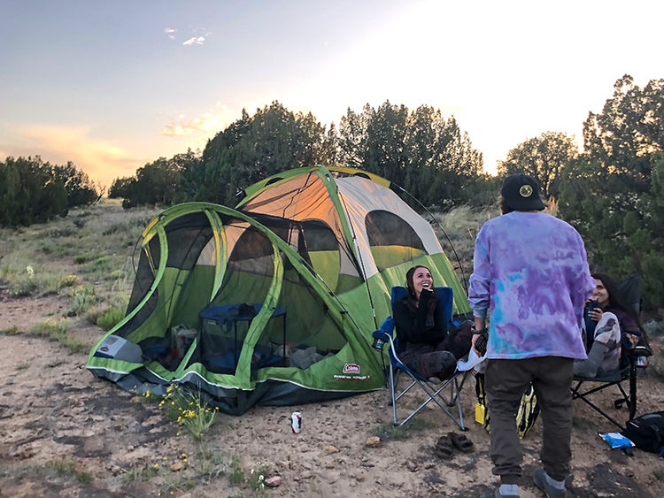
Image from The Dyrt camper Nick K.
While camping is not allowed in the Picketwire Canyonlands, there are six designated campsites at the Withers Canyon Trailhead. There’s also a vault toilet and a parking lot at the trailhead for those who only want to do a day hike. The sizeable campsites are first come, first serve. They’re relatively private, separated by trees and other foliage, but remember to be respectful and keep noise levels low so you don’t disturb other campers.
All of the sites have fire grates, and several overlook the canyons, offering incredible sunset and sunrise views. Pack in/pack out rules apply, and there are no trash cans available at the trailhead or anywhere else in the canyon.
Let someone know your expected departure and return times before you get to the trailhead, as there is no cell service available. The hike from the trailhead to the dinosaur tracks takes around 3 hours, so plan accordingly.
The Dyrt is the only camping app with all of the public and private campgrounds, RV parks, and free camping locations in the United States. Download now for iOS and Android.Popular Articles:
Articles on The Dyrt Magazine may contain links to affiliate websites. The Dyrt receives an affiliate commission for any purchases made by using such links at no additional cost to you the consumer.

