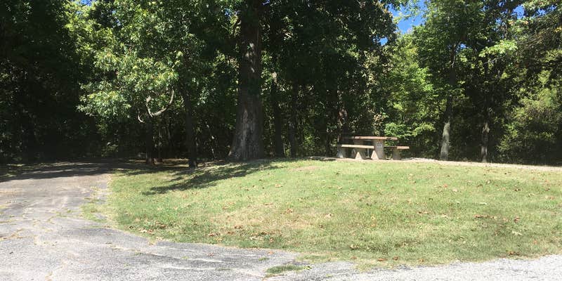

Fishing drives most visits to this US Army Corps of Engineers campground along the Verdigris River, on the downstream side of Oologah Dam. Sites sit close together, with the first two especially exposed near the road; the last site in the row has more separation. Anglers can launch a boat or kayak directly from this stretch of river. Amenities include picnic tables, firewood, trash service, and cell coverage. Among places to camp near Oologah, this one draws those focused on water access over hiking or developed facilities. Bring your own gear; sites are basic.
RV Road Trip Guides

Map & DirectionsVerdigris River is located in Oklahoma near Oologah
 Public Campground
Coordinates
36.42200042 N
95.68300082 W
Connectivity
 T-Mobile5GExcellent CoverageVerified by 1 user
 VerizonLTESome CoverageVerified by 1 userLast on 8/1/26
- AT&T5GExcellent CoverageVerified by 1 userLast on 12/6/25
Connectivity
- T-Mobile5GExcellent CoverageVerified by 1 user
- VerizonLTESome CoverageVerified by 1 userLast on 8/1/26
- AT&T5GExcellent CoverageVerified by 1 userLast on 12/6/25
Access
- Drive-InPark next to your site
- Walk-InPark in a lot, walk to your site.
- Boat-InSites accessible by watercraft.
Site Types
- Tent Sites
Features
For Campers
- Trash
- Picnic Table
- Firewood Available
- Phone Service
- Pets
- Fires
Drive Time
- 21 min from Tulsa, OK
- 1 hr 31 min from Joplin, MO
- 1 hr 50 min from Fayetteville, AR
- 2 hrs from Fort Smith, AR