This leg of the TransAmerica Trail takes you from Rawlins, WY, over the Rockies and into the High Plains, ending at Alexander, KS. You’ll climb through Wyoming’s snow-pruned passes and cruise down through Colorado’s mountain forests before descending into the open Kansas prairie. Along the way, you’ll pass alpine lakes, pine-covered summits, and frontier towns like Walden, Buena Vista and Lamar. Unique sights include continental divide vistas at Hoosier Pass and historic sites along old Santa Fe Trail corridors. This segment blends high-altitude Colorado scenery with wide-open Kansas grasslands, and serves as a rugged transition from the Rockies to the plains.
Segment Overview
Expect big elevation changes and remote drives. The route begins in high desert plains around Rawlins, quickly climbing south into Colorado on WY-130 and CO-14. You’ll crest Hoosier Pass (11,500 ft) and descend into the Arkansas River valley near Buena Vista. From Pueblo eastward you’ll encounter arid, rolling terrain as you head into western Kansas. Best times to drive are late spring through early fall (summer and early fall) when passes are open. Be prepared for gravel and dirt sections near Walden and for long stretches without services in eastern Colorado and Kansas.
Quick Stats
| Total Distance | ~680 miles |
|---|---|
| Drive Time | ~11–12 hours |
| States | Wyoming, Colorado, Kansas |
| Primary Roads | I-80, WY-130, CO-14, US-287, I-25, US-50, KS-96 |
| Recommended Duration | 3–4 days |
| Fuel & Stops | Major towns along route (Rawlins, Walden, Pueblo, Lamar, Garden City) with fuel/grocery; long stretches in between |
| Cell Coverage | Generally good in towns and on highways; spotty or none in high mountains and remote areas |
Day-by-Day Guide
Day 1: Rawlins WY to Walden CO
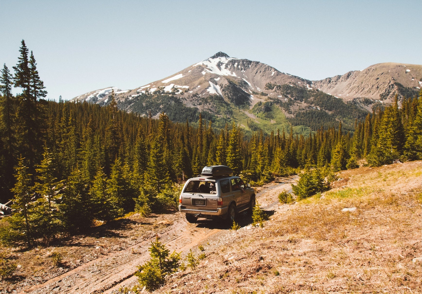
- Route & Pacing: Depart Rawlins via I-80 east for a few miles, then head south on WY-130 toward Colorado. The road climbs into Medicine Bow National Forest and over the divide. Rough road sections can appear; high-clearance 4×4 is advised in poor weather.
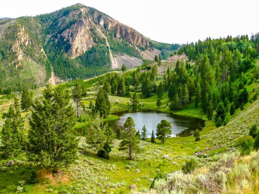
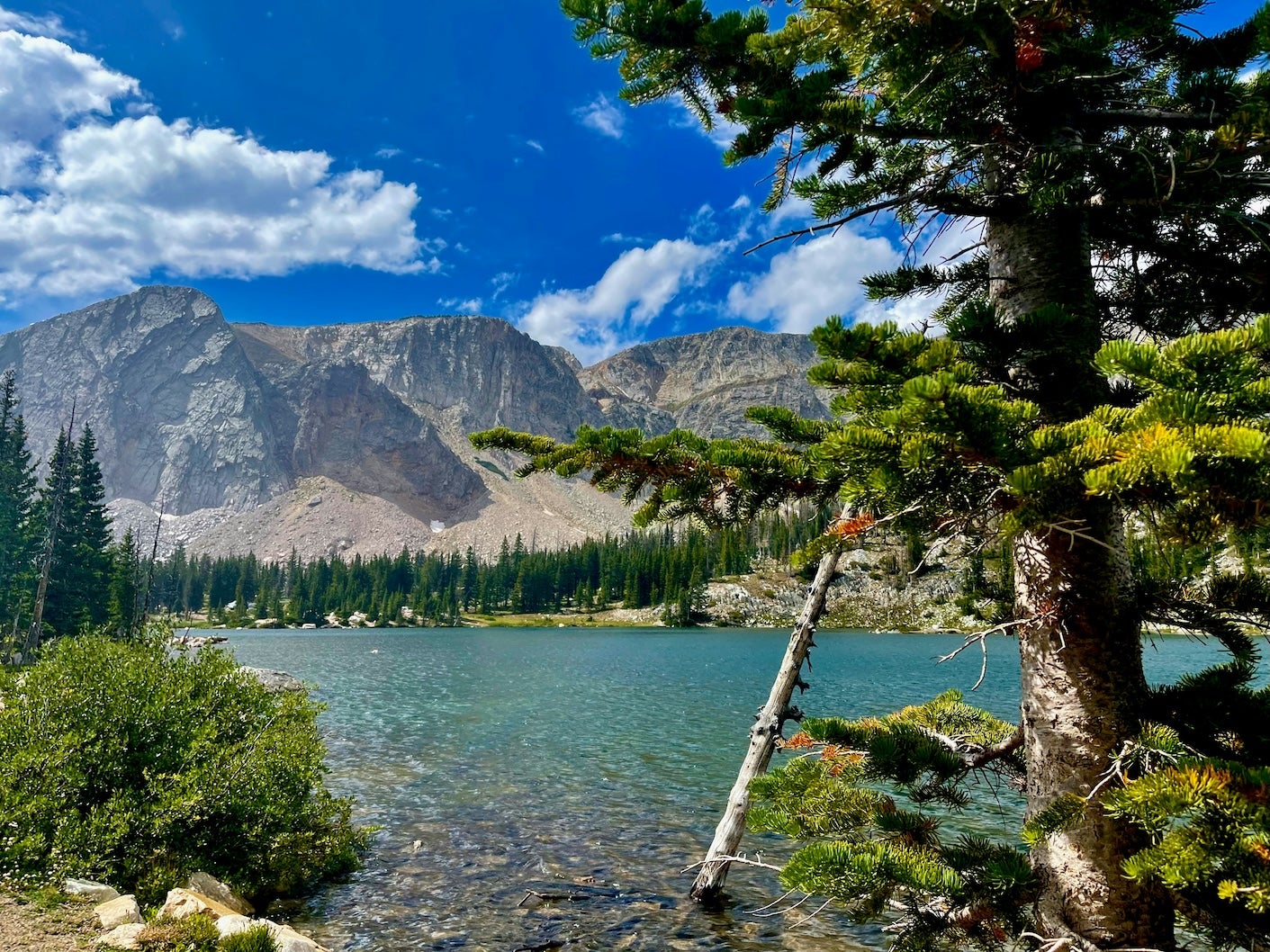
- Stops & Highlights: Mid-morning pause at Rendezvous Ranch (historic outpost) or scenic overlooks. About 120 miles from Rawlins, reach Colorado’s State Forest State Park. Mileposts 204–240 on CO-14 lead to North Michigan Reservoir near Cameron Pass.
- Evening & Overnight: Camp at North Michigan Campground (State Forest State Park). It offers tent and RV sites by the lake, picnic tables and vault toilets. Stock up on supplies in Walden (groceries, gas) before the pass, as amenities are limited.
Day 2: Walden CO to Pueblo CO
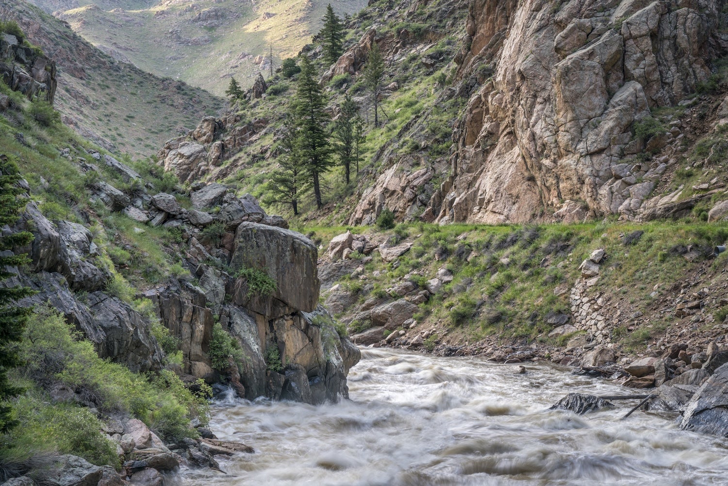
- Route & Pacing: From Walden, continue east on CO-14 over Cameron Pass (10,276 ft), skirting Arapaho National Forest. Descend into the Poudre River valley and turn onto US-287 south toward Fort Collins. Merge onto I-25 south through Colorado’s Front Range down to Pueblo.
- Stops & Highlights: Take a break in Fort Collins or Loveland for fuel and lunch. The afternoon drive on I-25 is straightforward highway through pine-forested foothills. Watch for deer or elk along the highway. Optional detour: Between Salida and Canon City, consider a side trip to historic Bent’s Old Fort (an 1830s adobe trading post) near La Junta.
- Evening & Overnight: Arrive at Lake Pueblo State Park. Camp at the Northern Plains Campground. It has electric sites, clean bathrooms, showers and lake access. Friendly ranger patrols keep facilities tidy. Enjoy sunset views over the reservoir. Pueblo (city) has all services for resupply if needed.
Day 3: Pueblo CO to Garden City KS
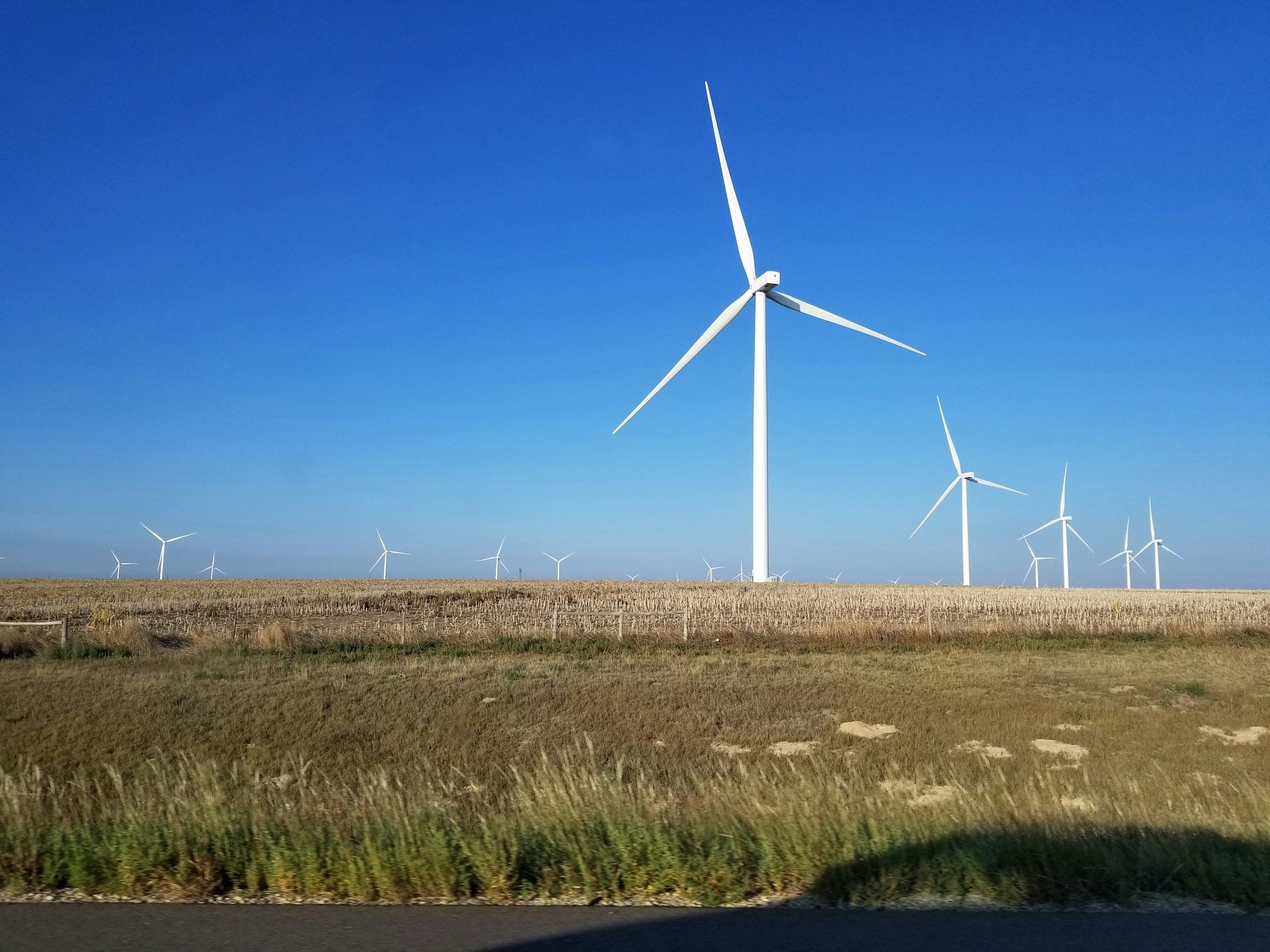
- Route & Pacing: Leave Pueblo on US-50 east toward Lamar. The route climbs slightly over the dry plains of southeastern Colorado. After Lamar, US-50 crosses into Kansas near Johnson City.
- Stops & Highlights: In Lamar, fuel up and grab lunch. A short side trip south of Lamar (via CO-183) leads to Fort Lyon historic site. Continue east into Kansas on KS-96, driving through Dodge City’s agriculture fields. Late afternoon stop in Garden City, KS, at the western edge of the High Plains.
- Evening & Overnight: Camp or stay in Garden City. Options include lakeside park campgrounds or local RV parks near town. Garden City has grocery, fuel and restaurants, making it a good resupply point before the final leg.
Day 4: Garden City KS to Alexander KS
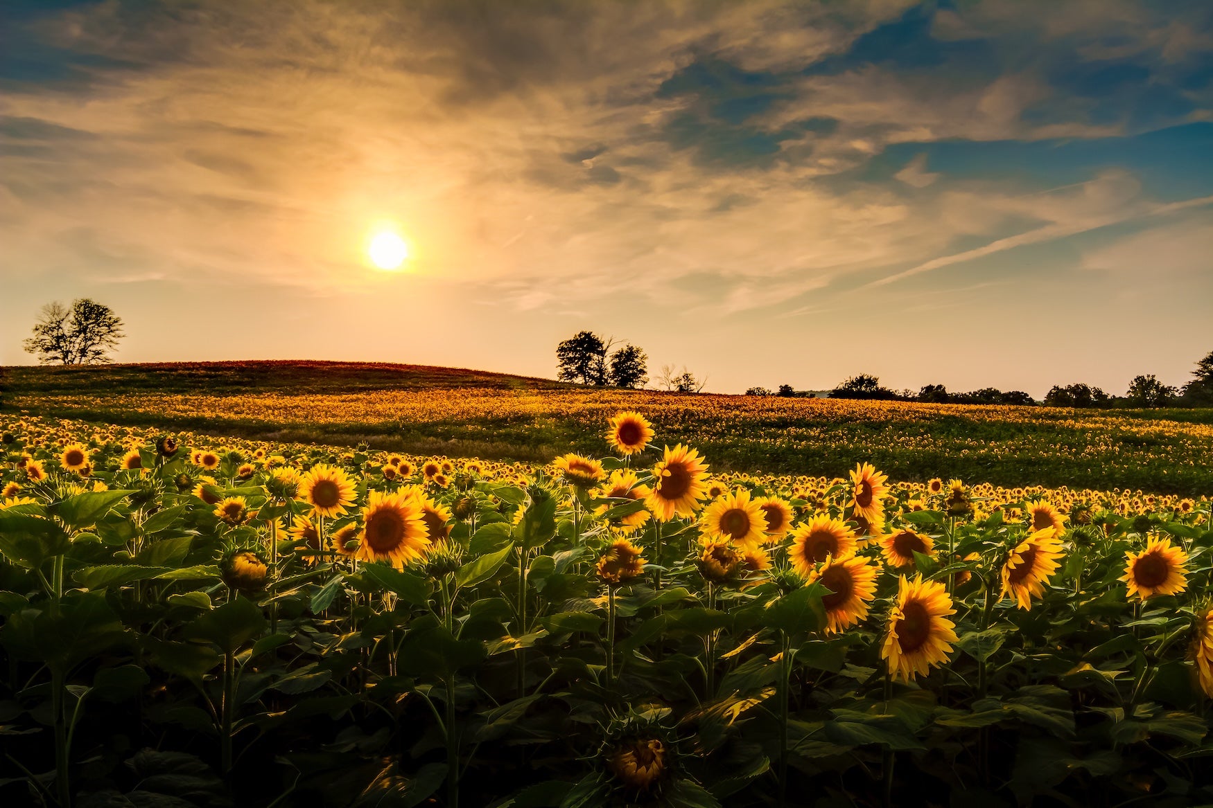
- Route & Pacing: From Garden City, head north on US-83 to Oakley, then east on I-70 briefly, or take US-283 and K-96 directly east. (Either route will bring you near the route.) Continue east on KS-96 through towns like La Crosse.
- Stops & Highlights: In La Crosse, view the historic Barbed Wire Museum or stroll the town square. The final stretch on KS-96 to Alexander is over gently rolling farmland. Watch for pheasants and native prairie grasslands. Alexander is a tiny town; the journey ends at the junction of KS-96 and US-283.
- End Point: Your route concludes in Alexander, KS. Fuel and amenities are minimal here; nearby Rush Center (east on KS-96) has a station and diner. From Alexander, you can continue east on the TransAmerica Trail toward Girard, KS.
Campgrounds to Consider
Hoosier Pass Dispersed Camping (Breckenridge, CO) – Free Forest Service camping along County Road 24 near Hoosier Pass. High mountain setting with thick pine forest. Offers several drive-up sites with fire rings, vault toilets, and no fees or reservations. Popular in summer for its alpine views; check for winter closures of the road. Dogs are allowed; practice Leave No Trace. No water or services, so pack all supplies. Elevation ~11,500 ft. (GPS: CR 24 near Hoosier Pass, 39.38N, -106.10W)
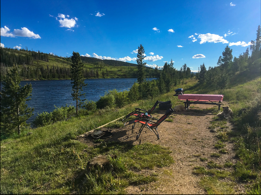
North Michigan Campground — State Forest State Park (Walden, CO) – Established campground on Michigan Reservoir in the high Rockies. Mix of tent sites and RV spots (no hookups) with picnic tables and fire rings. Pine and aspen forest setting with mountain views; easy fishing and boating on the lake. Amenities include clean vault toilets and potable water. Campers praise the level sites and peaceful mornings. Cabins with heaters are available in winter. Reservations required through Colorado Parks & Wildlife. Located 75 miles west of Fort Collins on Hwy 14 (Cameron Pass).
Northern Plains Campground — Lake Pueblo State Park (Pueblo, CO) – A modern lakeside campground with wide views of Lake Pueblo. Campsites include 30-amp electric sites on gravel pads, picnic tables and fire pits. Facilities feature clean restrooms and free hot showers. Trails and a boat ramp are within walking distance of sites, and the water is popular for bass fishing and boating. Wildlife like deer and upland birds frequent the edges of the canyon. Campers report excellent lake scenery, especially at sunset, and friendly park rangers. Located at the north end of Lake Pueblo.
Arkansas Point Campground — Lake Pueblo State Park (Pueblo, CO) – Picturesque campground on the eastern shore of the reservoir. Offers asphalt RV sites with electric hookups, plus tent sites. Each site has a picnic table under a shade shelter and a fire ring. Amenities include flush toilets, showers, and a dump station. Visitors highlight the sweeping water views and well-maintained grounds. Sunset colors over the water are a highlight. Hiking and biking trails begin nearby, and the area is pet-friendly. Situated 4 miles south of Highway 50 on Pueblo Reservoir Road.
Toronto Point — Cross Timbers State Park (Toronto Lake, KS) – Large campground on Toronto Lake in eastern Kansas. Serves both tent campers and RVers (30/50 amp hookups available). Pavement and level sites make RV parking easy. Amenities include flush restrooms, showers, potable water, and a dump station. The park has a fishing dock, playground, and swimming beach. Notable features are the wooded campground setting and quiet lake ambience. Reviewers praise the clean bathrooms and easy access to fishing. Bring bug spray in summer. Located 11 miles south of I-35 at Toronto, KS (US-75 exit to KS-292).
Top Activities & Attractions
Natural Highlights
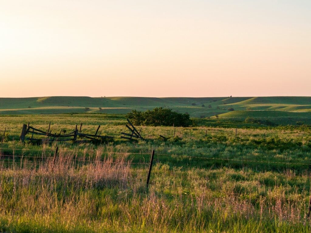
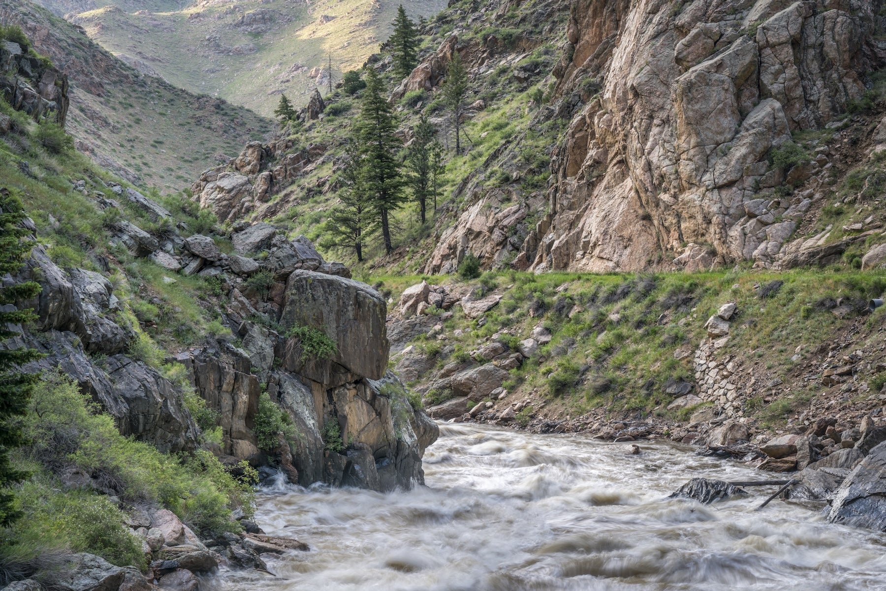
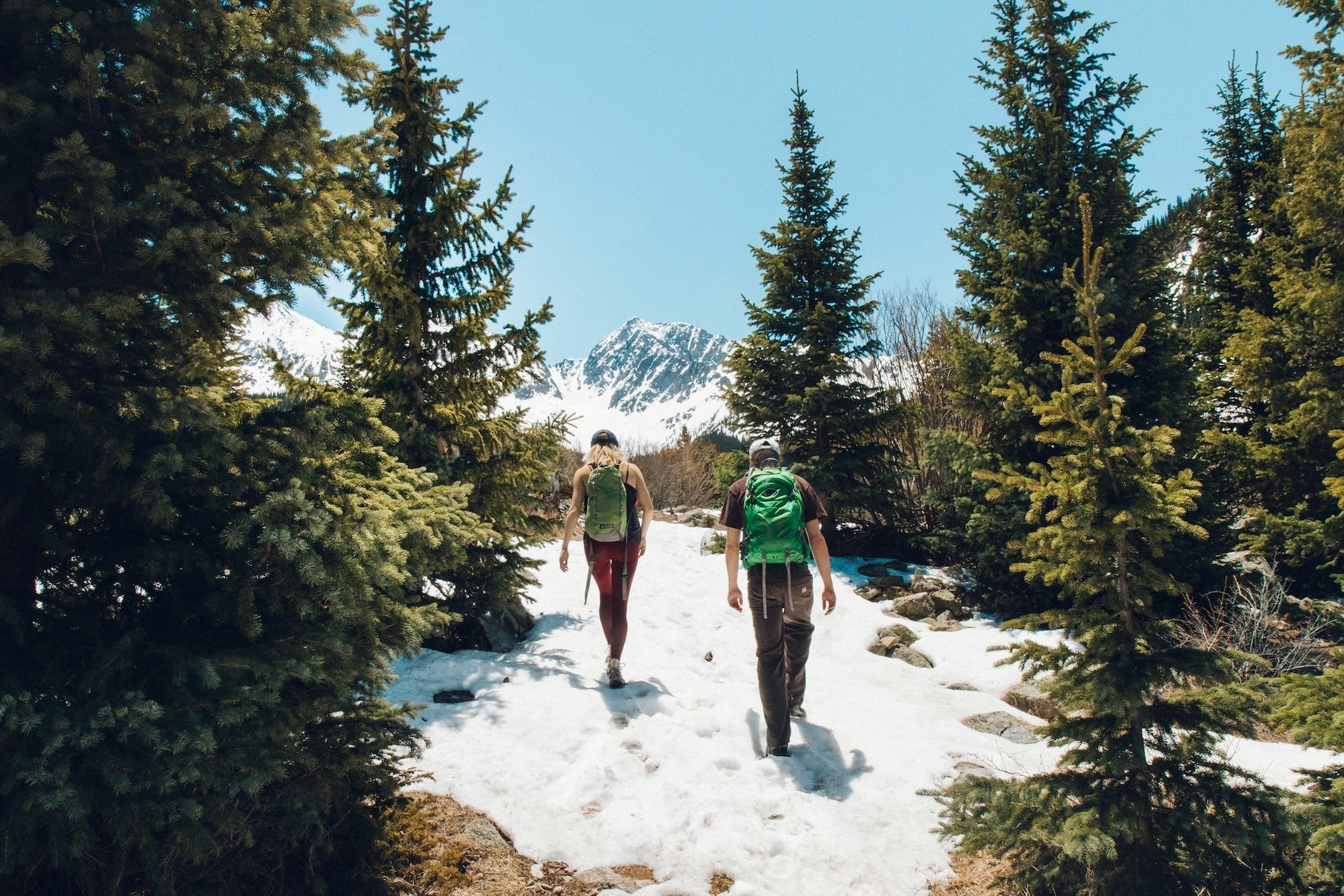
Colorado’s Continental Divide scenery dominates this segment. Hoosier Pass offers panoramic summit views over the Divide. Hiking off-trail in the high country (San Isabel NF) reveals wildflower meadows and subalpine lakes. Down-valley, the Arkansas River winds through pine and cottonwood groves – a prime stretch for whitewater rafting and trout fishing around Buena Vista. In Kansas, Cheyenne Bottoms Wildlife Area (north of Great Bend) is a vast marshland teeming with migratory birds (waterfowl and shorebirds). The Flint Hills prairie ecosystem near Kanopolis (just east of this segment) is a scenic detour for hiking among sandstone bluffs. Expect wide-open sky and golden prairie grasses on the plains, with spectacular sunsets.
Cultural & Historic
This route follows portions of the old Santa Fe Trail. Near La Junta (just west of Pueblo) is Bent’s Old Fort National Historic Site, a reconstructed adobe trading post from 1833. South of Lamar lies Fort Lyon (Colorado Hwy 183), a Civil War-era frontier post. In Wyoming, the highway traces old wagon roads once used by settlers and miners. Small towns like Walden and Akron offer local history museums. La Crosse, KS, has a quirky Barbed-Wire Museum. Don’t miss roadside markers for the Santa Fe and Smoky Hill Trails, which hint at the region’s frontier past.
Outdoor Recreation
Outdoor recreation abounds. The mountains offer countless hiking trails: from gentle lake loops in State Forest State Park to higher alpine routes near Hoosier Pass. Mountain biking and horseback riding are popular around Walden. The Arkansas River corridor (near Salida/Pueblo) is famous for rafting and kayaking, and dozens of fishing spots fill every canyon stream. In Kansas, hunting and bird-watching (especially at Cheyenne Bottoms and Quivira National Wildlife Refuge) draw wildlife lovers. Plenty of gravel backroads invite off-highway driving; however, hoist a flag or follow local guidance when venturing onto remote tracks.
Unique Roadside Stops
Unusual roadside attractions break up the drive. In Buena Vista take County Road 162 north to the old mining town of St. Elmo – now a ghost town with historic cabins. Along US-50 east of Pueblo, watch for colorful outcroppings of the Wet Mountains and Painted Rock formations. Quieter roads pass by sod huts and dramatic trail ruts from pioneers. Near Great Bend, roadside markers describe the Great Plains Railroad and frontier cattle routes. With few tourists in these parts, even small parks or scenic overlooks offer a feeling of solitude. Keep an eye out for prairie wildlife crossing the road — antelope, deer and even the occasional wild horse.
Travel Tips
Road Conditions: WY-130 and other high passes may be rough, steep and unpaved; check local reports. In Colorado’s mountains, expect logging and mining vehicles. Allow extra time on narrow gravel roads. Interstate and highway stretches (I-25, US-50, KS-96) are good pavement.
Weather & Season: Summer and early fall are safest. Winter storms can close passes; snow may linger above 10,000 ft into June. Afternoon thunderstorms are common in summer. Nights in Colorado can be chilly even in July.
Gas & Supplies: Fill up whenever possible. Towns are sparse east of Pueblo and west of Garden City; Don’t rely on mini-marts. Notable gas stops: Rawlins, Walden, Fort Collins/COS-Pueblo, Lamar, Garden City. Carry water and snacks on remote stretches.
Cell Service: Coverage is mostly reliable in towns and on main highways. However, reception can vanish through mountain forests and distant prairie roads. Download maps and routes in advance (TheDyrt PRO offline maps can help).
Wildlife & Safety: Drive alert at dawn/dusk for deer and livestock crossing. Kansas winds can suddenly gust, so brace when high-profile vehicles pass. Practice Leave No Trace – pack out all trash, and camp only in allowed areas (dispersed sites in National Forests or established campgrounds).
Additional Segments & Resources
This stretch is one leg of the full TransAmerica Trail road trip. For the complete journey west-to-east, see our TransAmerica Trail overview or full guide by segment. With The Dyrt PRO, you can access downloadable maps and planning tools for this route. Also review Leave No Trace guidelines as you camp — respect wildlife and public lands while enjoying the adventure.
The Dyrt is the only camping app with all of the public and private campgrounds, RV parks, and free camping locations in the United States. Download now for iOS and Android.Popular Articles:
Articles on The Dyrt Magazine may contain links to affiliate websites. The Dyrt receives an affiliate commission for any purchases made by using such links at no additional cost to you the consumer.