Many trails are still closed due to the Eagle Creek fire, but these Columbia River Gorge hikes are ready for you!
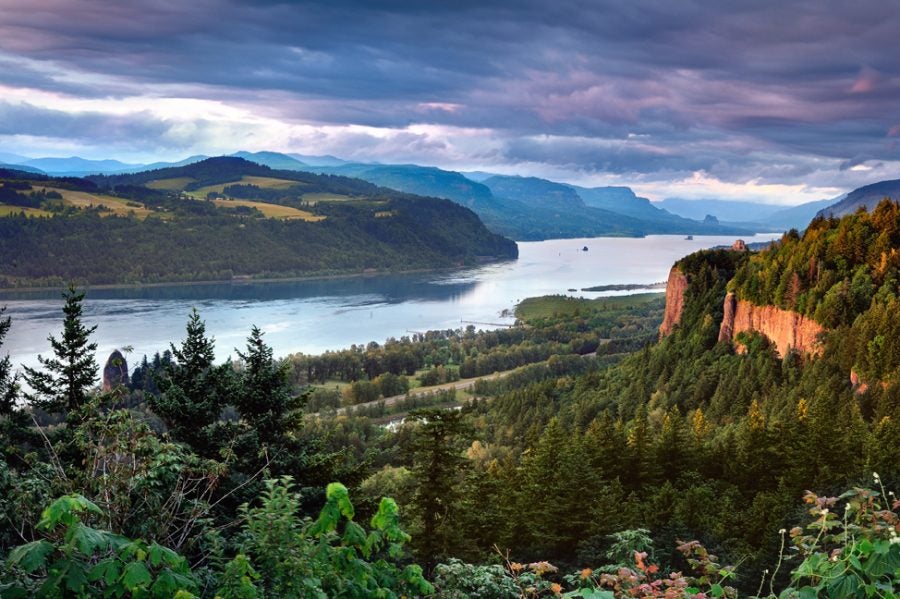
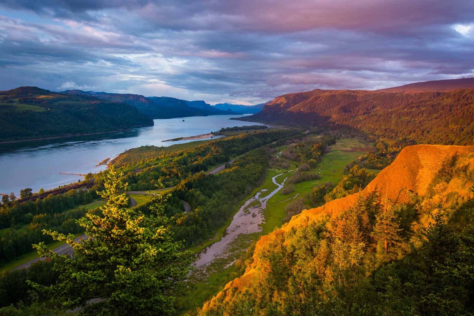
Columbia River Gorge hikes in Oregon offer an array of killer mountain top views, wildflower meadows, and waterfalls that draw in visitors and locals every day, all year long. Due to last summer’s Eagle Creek fire, many of the most frequented trails in the area remain closed for the summer of 2018.
This is disappointing to many enthusiastic hikers in the region, but there is a bright side. If you intend to hike in the Columbia River Gorge this summer, there are many other trails to explore, including some gems that you might not be familiar with.
Related Reading:
Fire in the Columbia River Gorge: Summer 2018 Restoration Update
With some help from Renee Tkach, the Project Manager for Gorge Towns to Trails, we outlined some of the best Columbia River Gorge hikes. Our list is ordered by the level of difficulty, allowing you to easily find the perfect trail for your next Columbia River Gorge hiking adventure.
5 Easy Columbia River Gorge Hikes
These trails vary in length, but each have little to no elevation gain. They meander along the Columbia River, through forests, over creeks, and around wildflower meadows. Each hike offers a relaxing taste of the trail experience, for when you just feel like enjoying the fresh air.
1. Steigerwald Lake National Wildlife Refuge – Gibbon’s Creek
This refuge is the perfect place if you are interested in seeing some wildlife. The wetlands and meadows here are home to more than 200 bird species. To preserve the area, dogs are not permitted, and there is a seasonal closure from October 1 – April 30 each year.
Getting There: Steigerwald Lake National Wildlife Refuge is located on the Washington side of The Columbia River, just 2.5 miles east of Washougal on the Highway 14.
Distance: 2.8 miles round trip
Elevation Gain: None
2. Strawberry Island Loop
Strawberry Island Loop provides a beautiful trail with lower views of the Columbia River. The island was named by William Clark for all of the wild strawberries that once grew there.
Getting There: The Strawberry Island Loop can be accessed on the Washington side of the Columbia River Gorge, approximately 5 miles west of the Bridge of the Gods.
Distance: 4 miles round trip
Elevation Gain: None
3. Latourell Falls Loop
The Latourell Falls Loop will take you to several viewpoints where you can look up from the lower falls area. You can also head up higher to get a better view of the two-tiered drop.
Getting There: The trailhead is located just off of the Historic Columbia River Highway. You can also begin the loop from another access point at Guy Talbot State Park.
Distance: 2.4 miles round trip
Elevation Gain: 520 feet
4. Catherine Creek Arch Loop
Catherine Creek Arch Loop will take you across Catherine Creek and through a stand of old oak trees. The shallow soil here actually makes this area ideal for wildflowers, which bloom steadily throughout the spring.
Getting There: The trailhead is located on the Washington side of the Columbia River, 6 miles east of Bingen.
Distance: 1.9 miles round trip
Elevation Gain: 325 feet
5. Panther Creek Falls
The Panther Creek Falls trail takes you down an incline and then to a view point. It is a super short and easy hike with incredible scenery. You can walk along the upper portion of the falls, or get a bit closer on the viewing platform.
Getting There: The trailhead is located nearly 13 miles north of Carson on the Wind River Highway.
Distance: .04 miles
Elevation Gain: 200 feet
5 Moderate Columbia River Gorge Hikes
These Columbia River Gorge hikes are not excessively long, but they do involve some steady elevation gain. You will get your daily fill of wildlife and sunshine, along with some cardio.
1. Lyle Cherry Orchard
Lyle Cherry Orchard features an abandoned cherry orchard as well as portions of the historic Convict Road, a demonstration road built by Sam Hill to try and get funding for the original Columbia River Highway. Renee shared with us that Friends of the Gorge will be adding another five miles to this trail, with two new loops in coming years.
Getting There: The trailhead is located just past the town of Lyle, WA. There is a gravel parking area just past the tunnel on the north side of Highway 14.
Distance: 5 miles round trop
Elevation Gain: 1500 feet
2. Starvation Creek Ridge Loop
Along the Starvation Creek Ridge Loop you will see three waterfalls and over several creek beds. The ascent portions can be steep, but the views, in our opinion, are worth the effort.
Getting There: The trail begins at Starvation Creek State Park, which is about 11 miles east of Cascade Locks on Interstate 84.
Distance: 2.5 miles
Elevation Gain: 700 feet
3. Mosier Plateau
The Mosier Plateau trail is known for its wildflowers in the spring. The plateau is owned by the Friends of the Columbia Gorge Land Trust and is part of the Gorge Towns to Trails project. Interesting views include a pioneer cemetery at the beginning of the trail, a small waterfall along Mosier Creek, and panoramic views on the plateau.
Getting There: The trailhead is located slightly less than half a mile east of the town of Mosier on Highway 30.
Distance: 3.5 miles round trip
Elevation Gain: 600 feet
4. Weldon Wagon
A portion of the Weldon Wagon trail winds through the White Salmon Oak Natural Conservation Area. The trail moves through a stand of oak trees and on the way down you might notice some of the old rusting farm equipment from years gone by.
Getting There: This trail is located 8 miles north of White Salmon, WA on Highway 141.
Distance: 5 miles round trip
Elevation Gain: 1340 feet
5. Gillette Lake and Greenleaf Overlook
You can stop at Gillette Lake for a picnic and a swim before heading on to take in the views at Greenleaf Overlook. Renee mentioned that hikers will want to be aware and lookout for poison oak here. Most of the elevation gain on this hike happens at the very beginning, leaving most of the trail fairly steady and easy to navigate.
Getting There: This trail is located north west of Bridge of the Gods on the Washington side of the Columbia River Gorge.
Distance: 8.5 miles round trip
Elevation Gain: 650 feet
4 Difficult Columbia River Gorge Hikes
1. Hardy Ridge Loop
The Hardy Ridge Loop trail is actually part of an old road that has been reclaimed. You will get plenty of shaded woodland areas on the way up and then incredible Gorge views on the ridge.
Getting There: This trail is about 7 miles north of Bridge of the Gods in Washington.
Distance: 9 miles round trip
Elevation Gain: 2500 feet
2. Cape Horn
The Cape Horn trail is closed from February 1 to July 15 each year to allow space for peregrine falcon nesting. The hike has foliage and flowers that make it particularly stunning during the spring and fall. Due to steep cliffs along the way, keep in mind that dogs are not welcome along the Cape Horn trail.
Getting There: You can find the trailhead just north of Highway 14 near milepost 26.
Distance: 8.3 miles round trip
Elevation Gain: 1500 feet
3. Mitchell Point
There are several viewpoints along the Mitchell Point hiking trail, where you can stop to take in views of the Columbia River Gorge. Hiking sticks are suggested, and you should watch out for poison oak and ticks on this hike.
Getting There: This trailhead is located on the Oregon side of the Columbia River Gorge, just off of exit 58 on Highway 84.
Distance: 2.6 miles round trip
Elevation Gain: 1270 feet
4. Dog Mountain Loop
The Dog Mountain Loop trail is steep but popular for its spring wildflowers. Just keep in mind that a Dog Mountain permit is required on weekends through July. There is also a shuttle available so you don’t have to drive to the trailhead.
Getting There: Dog Mountain is located 6 miles north of Carson just off of Highway 14.
Distance: 6.9 miles round trip
Elevation Gain: 2820 feet
For additional information about the open trails in the Columbia River Gorge, visit the Friends of the Columbia Gorge complete list.
Related Campgrounds:
- Columbia River RV Park, Portland, OR
Popular Articles:
Articles on The Dyrt Magazine may contain links to affiliate websites. The Dyrt receives an affiliate commission for any purchases made by using such links at no additional cost to you the consumer.