This stretch of the Atlantic Coast Highway runs roughly 480 to 520 miles from Savannah, Georgia to Miami, Florida, depending on how often you hug A1A instead of jumping on I-95. Drive it straight and you’re looking at about eight to nine hours behind the wheel. But that misses the point. This segment moves from moss-draped Lowcountry streets to rocket launch pads, barrier island beaches, and finally the skyline of South Florida. It’s coastal driving with real variety. Spring and fall bring the most comfortable weather, though this route works year-round with a little planning. If you’re following the full Atlantic Coast Highway itinerary, this leg connects Georgia’s historic coast to tropical South Florida in one steady southbound line.
The main highways are simple. I-95 handles the long hauls. U.S. 1 runs parallel through towns and city centers. A1A is the prize when you want ocean views and slower pacing. You’ll shift between them often. That’s part of the rhythm of this drive.
Quick Stats
| Total Distance | Approximately 200 miles (including ferry crossing) |
|---|---|
| Estimated Drive Time | About 5 hours total driving, plus 85-minute ferry crossing |
| States | New Jersey, Delaware, Maryland, Virginia |
| Primary Routes | Cape May–Lewes Ferry, DE-1, US-50, US-13, Chesapeake Bay Bridge-Tunnel |
| Recommended Duration | 4 days |
| Cell Service | Generally reliable in towns, limited on Assateague Island and parts of the Chesapeake Bay Bridge-Tunnel |
| Fuel Stops | Frequent in Lewes, Rehoboth Beach, Ocean City, Chincoteague, and Cape Charles; no fuel on the Chesapeake Bay Bridge-Tunnel |
Day 1: Savannah to St. Augustine (Approx. 180 miles)
Leave Savannah early and point the car toward I-95 South. The Georgia marshland gives way to the Florida state line in about two hours. Jacksonville is your first major city, and you can either skirt it on I-295 or detour east toward the coast. If time allows, swing through Fort George Island to visit Kingsley Plantation, part of the Timucuan Ecological and Historic Preserve. It’s a quiet stop with river views and preserved tabby slave cabins.
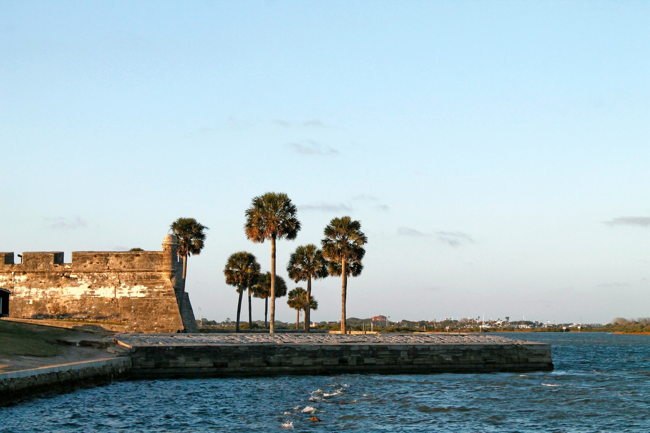
By early afternoon, roll into St. Augustine. Founded in 1565, it’s the oldest continuously occupied European-established settlement in the continental United States. Walk the historic district on foot. Tour Castillo de San Marcos, a 17th-century coquina stone fort that still anchors the waterfront. St. George Street is lined with small shops, bakeries, and coffee spots that make an easy lunch stop.
Spend the night at Anastasia State Park Campground. This is one of the top-rated campgrounds on The Dyrt along this segment. Sites sit beneath oak and palm canopy just a short walk from four miles of Atlantic shoreline. TheDyrt reviewers consistently mention the beach access and roomy sites. Book ahead in peak season. It fills quickly.
Day 2: St. Augustine to Sebastian Inlet (Approx. 170 miles)
In the morning, trade interstate speed for coastal two-lane. Pick up A1A south of St. Augustine and stay with it as long as you can. This section runs along the Atlantic on one side and the Intracoastal Waterway on the other. You’ll pass Fort Matanzas National Monument, where a short ferry ride crosses to a small 18th-century Spanish fort guarding the river mouth.
Flagler Beach makes a solid mid-morning stop. The pier stretches straight into the ocean, and several local cafés sit within walking distance. South of there, Daytona Beach signals a change in pace. Racing history runs deep here. You can tour Daytona International Speedway or simply cruise the beachfront strip before continuing on.
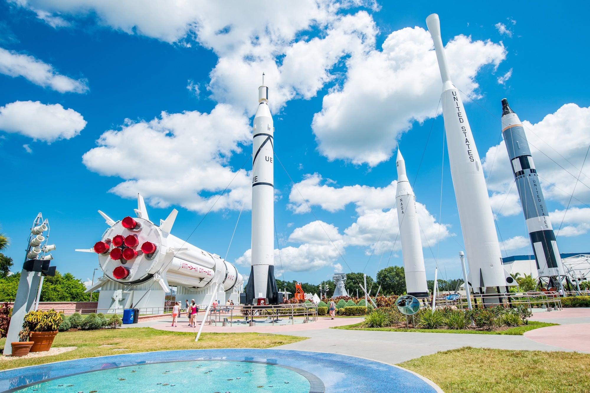
As you approach the Space Coast, consider a detour to Kennedy Space Center Visitor Complex near Titusville. Massive Saturn V rockets and Space Shuttle Atlantis are on display, and launch schedules are posted in advance. Even from the road, you may spot launch infrastructure rising above the flat landscape. Wildlife refuges border much of this area, including Merritt Island National Wildlife Refuge, where short drives reveal marshes filled with birds and occasional alligators.
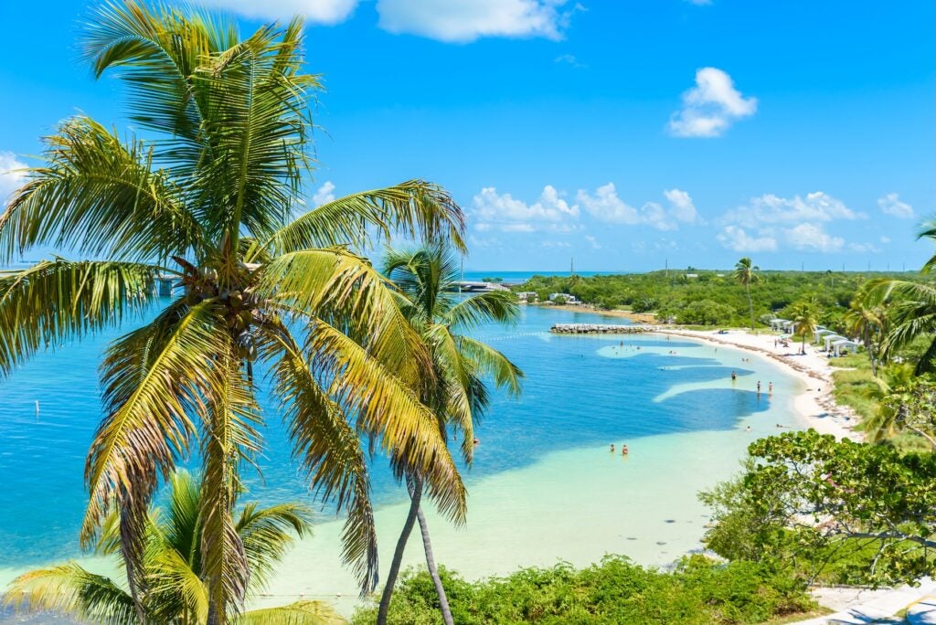
Continue south toward Sebastian Inlet. This stretch feels quieter again. End the day at Sebastian Inlet State Park Campground, another highly rated stop on The Dyrt. Campsites sit between the Atlantic Ocean and the Indian River Lagoon. Anglers line the jetty at sunset. Surfers paddle out on the ocean side. The campground includes water and electric hookups. Bring bug spray in warmer months.
Day 3: Sebastian Inlet to Palm Beach County (Approx. 120 miles)
Start the day with a beach walk. From late spring through early fall, this coast is one of the most active sea turtle nesting areas in the country. Tracks often mark the sand in the morning. Stay clear of marked nests and avoid flashlights at night.
Drive south on A1A through Vero Beach and Fort Pierce. This region is known as the Treasure Coast, named after Spanish shipwrecks discovered offshore. Small downtown districts offer coffee shops and seafood spots without the heavier crowds found farther south. Gas stations become more frequent as you approach larger towns, but some barrier island stretches have limited services. Fill up when you can.
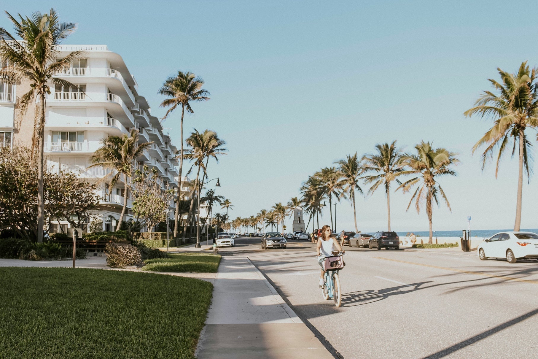
By midday, you’ll reach Jupiter and the northern edge of Palm Beach County. Climb the Jupiter Inlet Lighthouse for wide coastal views, or walk the riverfront parks nearby. Continue into West Palm Beach and Palm Beach via U.S. 1 or A1A. Traffic increases here. Speeds drop. Stay patient.
There are numerous private RV parks inland in Palm Beach County if you need full hookups for the night. Many travelers choose to overnight here before tackling Miami traffic the next day. Dinner options expand significantly in this region, with Caribbean, Cuban, and seafood restaurants all easy to find.
Day 4: Palm Beach County to Miami (Approx. 75 miles)
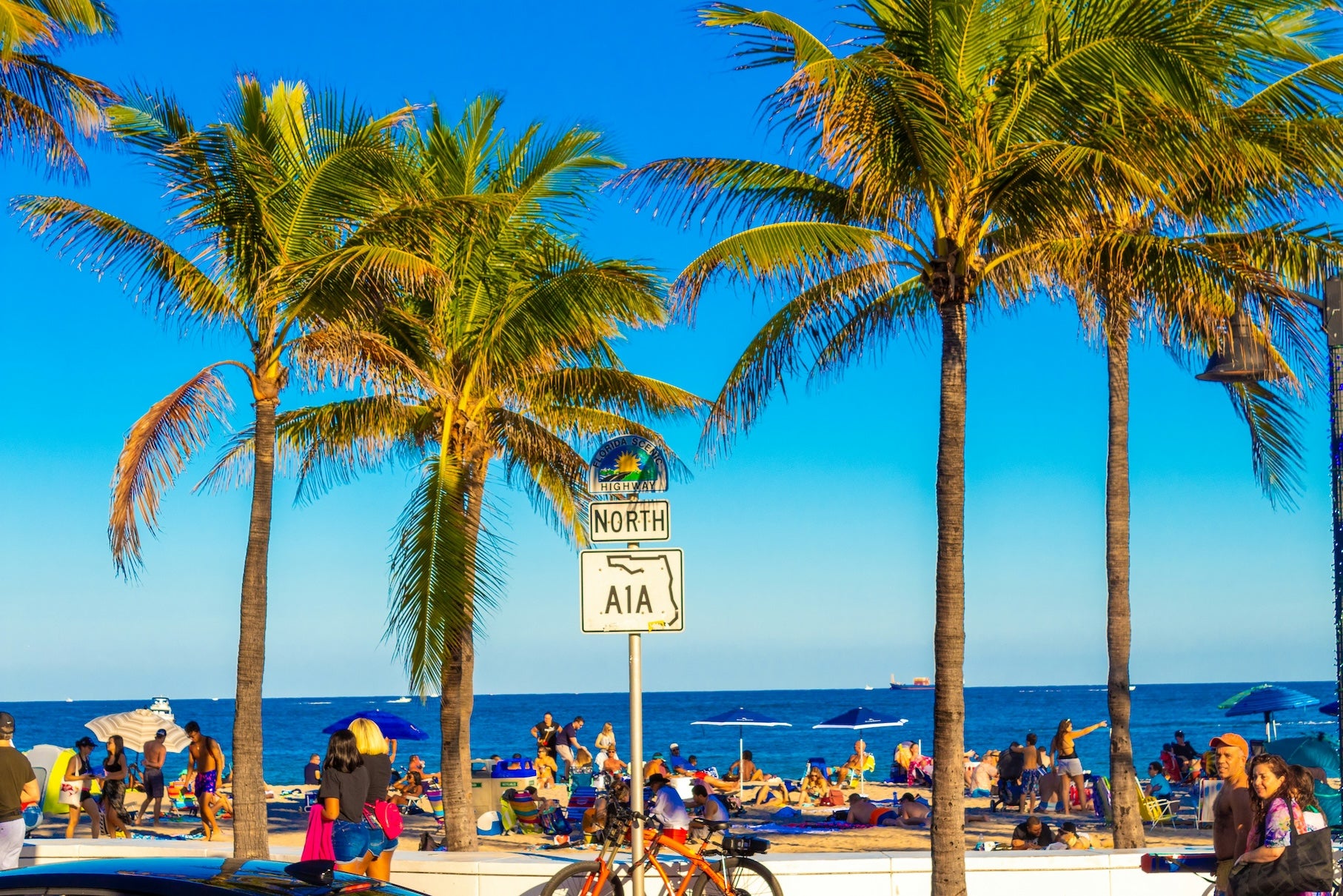
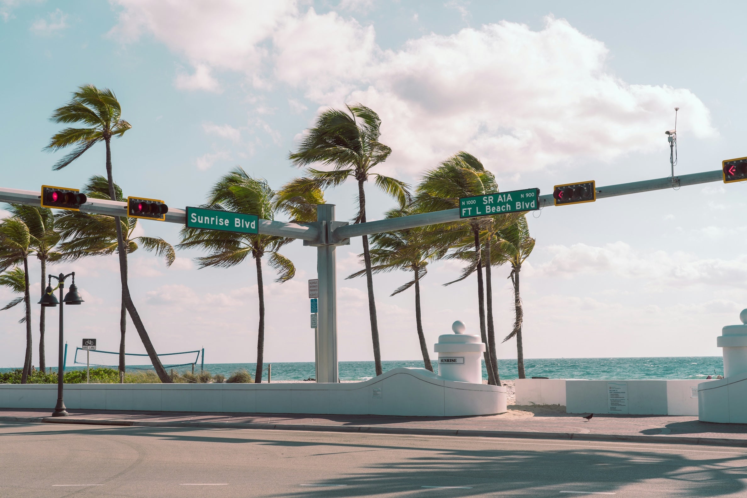
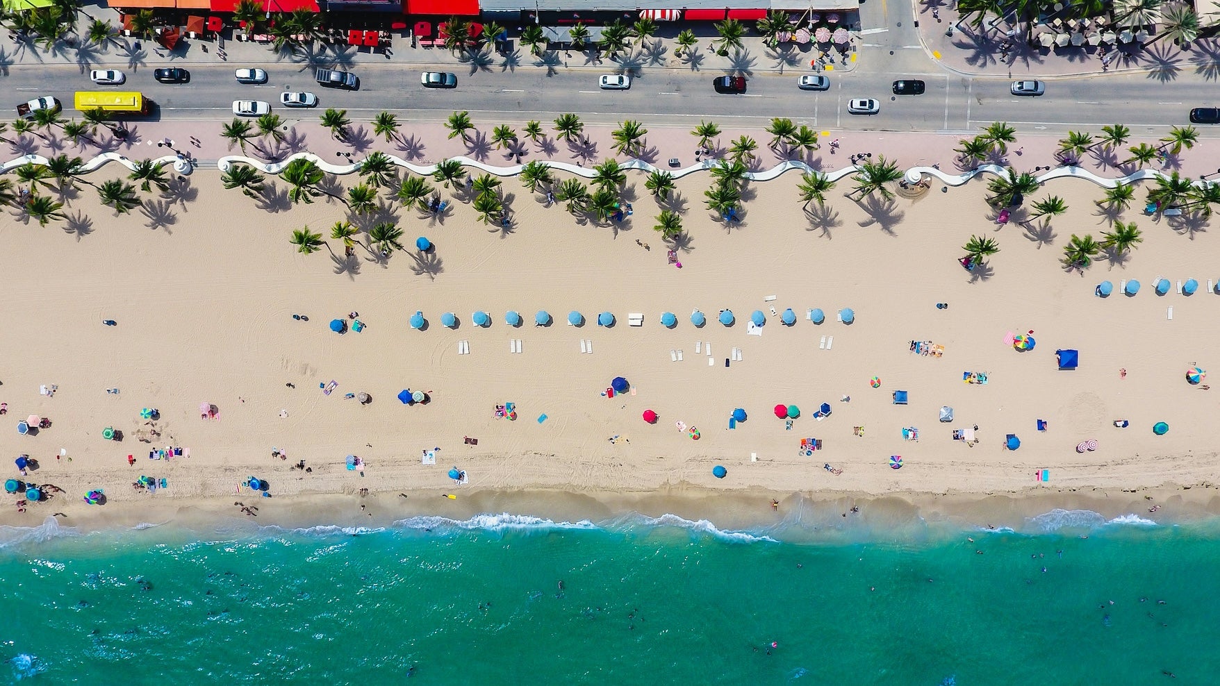
This final stretch is short in mileage but heavy in traffic. Fort Lauderdale sits about an hour south, known for its canal system and boating culture. Las Olas Boulevard connects downtown to the beach and makes a good lunch stop.
From there, choose your route carefully. I-95 moves faster but carries dense traffic. U.S. 1 keeps you closer to city centers. A1A runs along the shoreline through high-rise beach communities. Each has trade-offs. Use real-time navigation and avoid peak rush hour if possible.
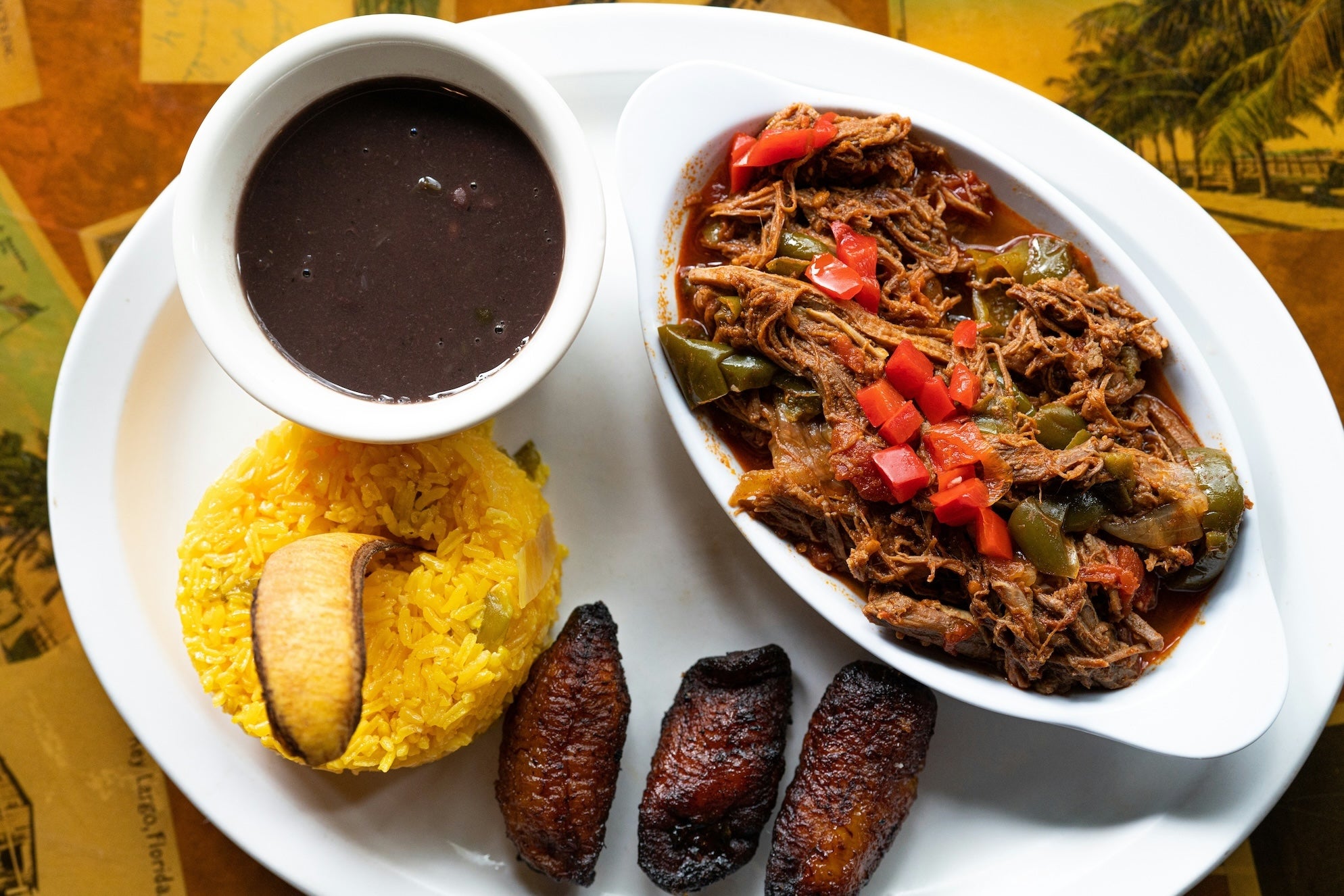
As you approach Miami, the skyline rises quickly. If you want the classic coastal arrival, cross the causeway to Miami Beach and drive Ocean Drive past pastel Art Deco buildings. Otherwise, follow U.S. 1 into downtown Miami. Cuban coffee windows, Latin music, and waterfront parks define the atmosphere here. This Atlantic Coast Highway segment officially ends in Miami, and the next leg continues south toward the Florida Keys.
Camping Along This Segment
This section focuses on two standout state park campgrounds: Anastasia State Park and Sebastian Inlet State Park. Both consistently receive strong feedback from The Dyrt community for beach access, clean facilities, and well-spaced sites. Reserve as early as possible during winter and spring. Snowbird season fills most coastal parks from January through March.
Dispersed camping is not common along this stretch due to heavy coastal development. Private RV parks are widely available in larger cities like Palm Coast, Melbourne, Fort Lauderdale, and Miami. If you need last-minute availability, inland parks sometimes have more open sites than oceanfront locations.
Seasonal Considerations
Spring and fall offer the most balanced weather. Daytime highs typically range from the 70s to mid-80s. Summer brings heat, humidity, and frequent afternoon thunderstorms. Hurricane season runs from June through November, with peak storm activity usually in late summer and early fall. Monitor forecasts closely if traveling during that window.
Winter temperatures cool significantly in North Florida but remain mild in South Florida. Expect higher campground demand across the entire region between December and March. Reserve early.
Practical Driving Tips
Road conditions are generally good. A1A narrows in sections and passes through small beach towns with reduced speed limits. Watch for cyclists and pedestrians. Drawbridges occasionally pause traffic for boat crossings. Delays are usually short.
Fuel stations are common near cities but less frequent on barrier islands. Keep your tank above half when staying on A1A for long stretches. Cell service is strong throughout most of this route, though signal strength may dip briefly in wildlife refuge areas.
Heat is a factor most of the year. Carry water. Use sunscreen. Afternoon storms can create sudden downpours and slick pavement. Slow down when they hit.
Why This Segment Stands Out
This leg of the Atlantic Coast Highway shifts steadily in tone. Savannah’s historic streets lead into Spanish colonial St. Augustine. The Space Coast introduces rocket launch history. Barrier islands stretch quiet and low along the Treasure Coast. Then South Florida rises with density and energy. It’s one of the most varied sections of the entire route.
If you’re driving the full Atlantic Coast Highway Road Trip, this stretch sets up the final push to the Florida Keys. And if Miami is your endpoint, you’ll finish with ocean air still in your clothes and sand still in your shoes. Not a bad way to end a road trip.
The Dyrt is the only camping app with all of the public and private campgrounds, RV parks, and free camping locations in the United States. Download now for iOS and Android.Popular Articles:
Articles on The Dyrt Magazine may contain links to affiliate websites. The Dyrt receives an affiliate commission for any purchases made by using such links at no additional cost to you the consumer.