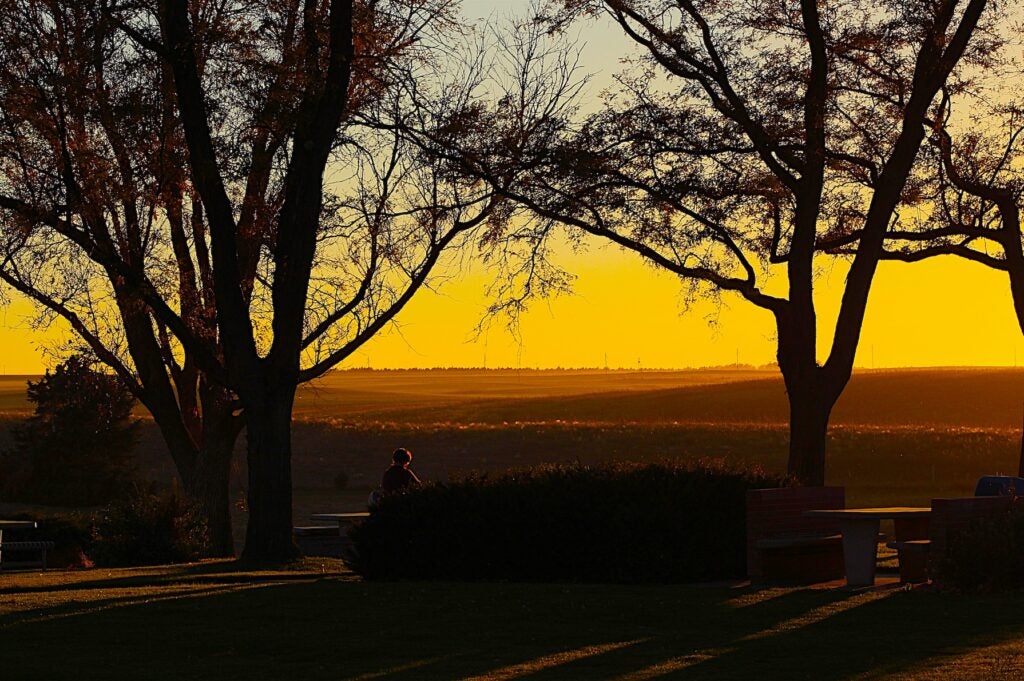
This stretch of the Oregon Trail road trip runs roughly 260 miles from Pocatello, Idaho to Pendleton, Oregon, tracing the Snake River Plain before crossing into northeastern Oregon. It is one of the most historic portions of the route, where emigrants forded rivers, followed wagon ruts still visible today, and made key decisions about the final push west.
Expect wide desert valleys, basalt cliffs, and fertile river corridors, with highlights like Massacre Rocks, Three Island Crossing, and Farewell Bend. Plan on three to four days to explore at a relaxed pace. For the bigger picture, see our complete Oregon Trail road trip overview to understand how this segment fits into the full journey.
Snake River Plain to Blue Mountains Overview
From Pocatello, I-86 and I-84 parallel the historic Oregon Trail across southern Idaho. The landscape shifts from sagebrush steppe and lava flows to irrigated farmland near Twin Falls and Boise, then climbs gradually toward the Blue Mountains approaching Pendleton. This section closely follows the Snake River, with multiple preserved emigrant sites.
Late spring through early fall offers the best conditions. Summer brings heat across the plain, often above 90 degrees, while winter storms can impact I-84 near the Oregon border. Services are regular between major towns, though some river stretches feel remote.
Pocatello to Pendleton Quick Stats
| Detail | Information | Notes |
|---|---|---|
| Total Distance | Approx. 260 miles | Pocatello to Pendleton |
| Drive Time | 4.5 to 5 hours | Without extended stops |
| States | Idaho, Oregon | Crosses near Ontario |
| Primary Routes | I-86, I-84 | Parallels historic trail |
| Recommended Duration | 3 to 4 days | With historic stops |
| Cell Service | Mostly good | Spotty near river canyons |
| Fuel Stops | American Falls, Twin Falls, Boise, Ontario | Few long gaps |
Day-by-Day Oregon Trail Road Trip Itinerary
Day 1: Pocatello to Twin Falls via American Falls
Approx. 110 miles, 2 hours driving. Follow I-86 west along the edge of the Snake River Plain. The road is smooth and fast, with open views of basalt bluffs and farmland.
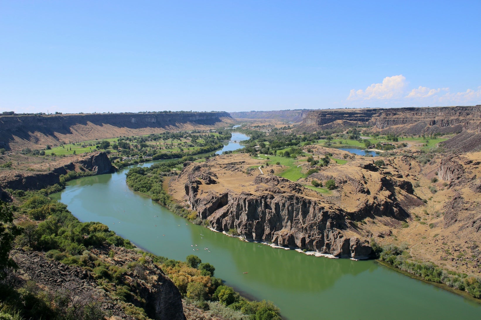
Stop at Massacre Rocks State Park to walk paved interpretive trails among wagon ruts and register rock signatures. Continue to American Falls Reservoir for birdwatching and shoreline views. In the afternoon, detour 10 minutes off I-84 to Shoshone Falls near Twin Falls, often called the Niagara of the West. The 212 foot waterfall is most powerful in late spring.
Overnight near Twin Falls. Grocery stores and fuel are plentiful here, making it a convenient resupply point.
Day 2: Twin Falls to Boise through Glenns Ferry
Approx. 130 miles, 2.5 hours driving. Continue on I-84 through rolling sagebrush hills. Traffic is typically light outside of peak commuter times near Boise.
Plan a mid-morning stop at Three Island Crossing State Park in Glenns Ferry. The visitor center explains how emigrants crossed the Snake River here, and walking paths lead to preserved ruts. In the afternoon, explore the Old Idaho Penitentiary or stroll the Boise River Greenbelt.
Boise offers broad dining options and full services. If you prefer a quieter night, camp along the river corridor east of town.

Day 3: Boise to Pendleton via Farewell Bend
Approx. 120 miles, 2 to 2.5 hours driving. West of Boise, I-84 follows the Snake River through agricultural valleys before climbing toward the Oregon border.
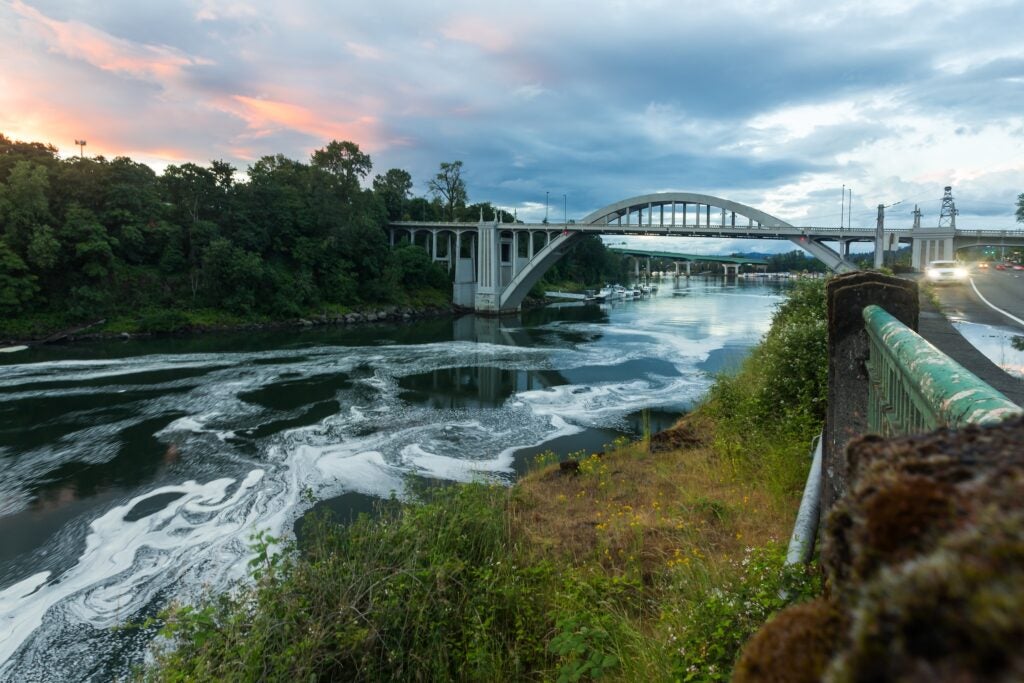
Pause at Farewell Bend State Recreation Area near Huntington, Oregon. This is where many emigrants left the Snake River and turned northwest. Interpretive panels explain the transition. In the afternoon, continue into Pendleton and visit the Tamastslikt Cultural Institute to learn about the Cayuse, Umatilla, and Walla Walla tribes.
Pendleton has full services, museums, and restaurants. From here, the route continues west as described in The Oregon Trail road trip guide.
Best Campgrounds Between Pocatello and Pendleton
Massacre Rocks State Park near American Falls offers riverside campsites with electric hookups and tent pads tucked among boulders. Visitors appreciate the paved trails leading to historic wagon ruts and the easy access from I-86.
Three Island Crossing State Park in Glenns Ferry combines shaded campsites with a well-regarded interpretive center. Sites accommodate RVs and tents, and the Snake River setting makes it a peaceful overnight stop.
Farewell Bend State Recreation Area Campground near Huntington, Oregon sits along the Snake River with boat access and roomy sites. It is a convenient base before climbing into the Blue Mountains.
Bruneau Dunes State Park south of Mountain Home features the tallest single structured sand dune in North America. Campers enjoy large sites, an observatory, and hiking trails across the dunes.
Boise Riverside RV Park provides full hookups along the Boise River Greenbelt. It is a practical choice for RV travelers who want quick access to downtown and bike paths.
Emigrant Springs State Heritage Area Campground east of Pendleton sits in a forested setting at higher elevation. Shaded sites and interpretive exhibits about the Oregon Trail make it a fitting final stop on this segment.
Top Activities Along This Oregon Trail Stretch
Natural Highlights
Walk the Devil’s Orchard Trail at Massacre Rocks for close views of wagon ruts. At Shoshone Falls, paved paths lead to multiple viewpoints. In Oregon, short hikes in Emigrant Springs State Heritage Area explore pine forests that once challenged wagon trains.
Cultural and Historic Sites
Three Island Crossing’s visitor center is open daily in peak season and includes multimedia exhibits. The Tamastslikt Cultural Institute in Pendleton offers in-depth interpretation of Native history and charges an admission fee. Check seasonal hours before visiting.
Outdoor Recreation
The Snake River supports boating and fishing near Farewell Bend. Cyclists can ride portions of the Boise River Greenbelt, a 25-mile paved path through the city.

Travel Tips for Pocatello to Pendleton
Summer heat across southern Idaho can be intense. Carry water for hikes and check tire pressure before long highway stretches. Winds are common along I-84, especially for high profile vehicles.
Fuel is reliable in Twin Falls, Mountain Home, Boise, and Ontario. Services thin slightly between Glenns Ferry and Mountain Home, though distances are manageable. Winter travelers should monitor the Idaho Transportation Department and Oregon DOT for pass conditions near the Blue Mountains.
Continue Your Oregon Trail Road Trip
This segment covers the heart of the Snake River corridor and the transition into Oregon. It is one part of the full Oregon Trail road trip itinerary, which details the journey from the Midwest to the Pacific Northwest. Explore our other segment guides to plan each stretch, and use The Dyrt to book campsites and find trusted reviews along the way.
The Dyrt is the only camping app with all of the public and private campgrounds, RV parks, and free camping locations in the United States. Download now for iOS and Android.Popular Articles:
Articles on The Dyrt Magazine may contain links to affiliate websites. The Dyrt receives an affiliate commission for any purchases made by using such links at no additional cost to you the consumer.