Every year, search and rescue teams across the United States respond to approximately 50,000 wilderness emergencies.
Here’s what might surprise you: the vast majority follow remarkably predictable patterns. According to data from the National Association for Search and Rescue (NASAR), nearly 70% of all SAR callouts involve just five scenario types, and most could have been prevented with different decisions made hours or even days before things went wrong.
Understanding these patterns isn’t about fear; it’s about empowerment. When you know what typically escalates a minor problem into a full-scale emergency, you can make choices that keep you safely off the rescue statistics. Because here’s the reality: SAR teams want you to have an amazing outdoor experience, not become their next callout.
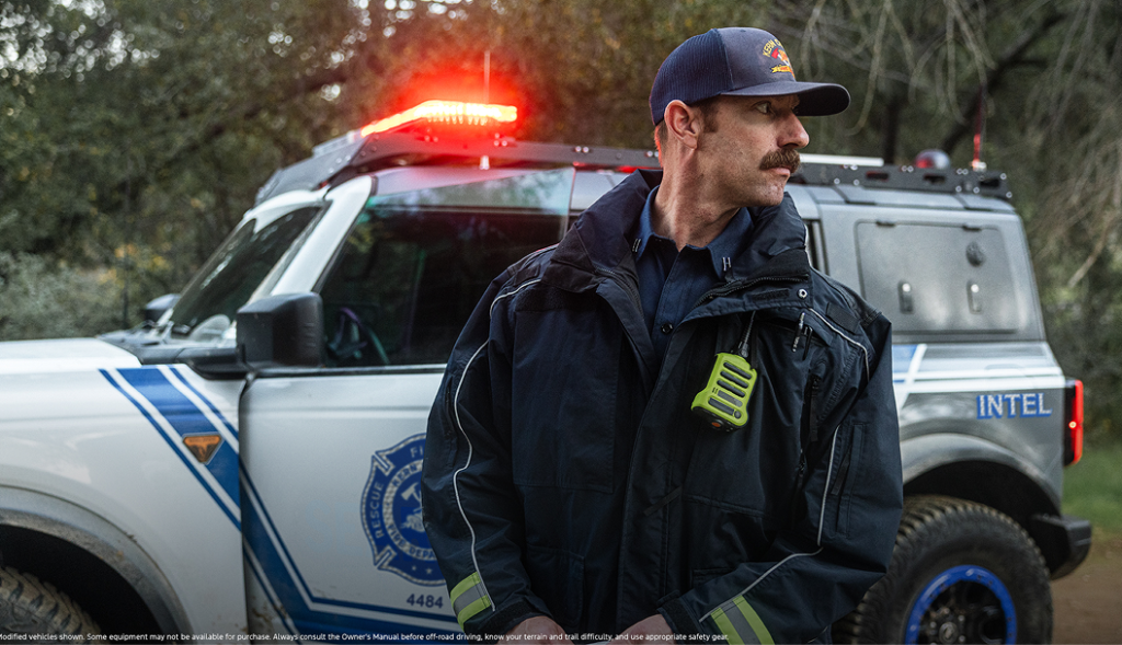
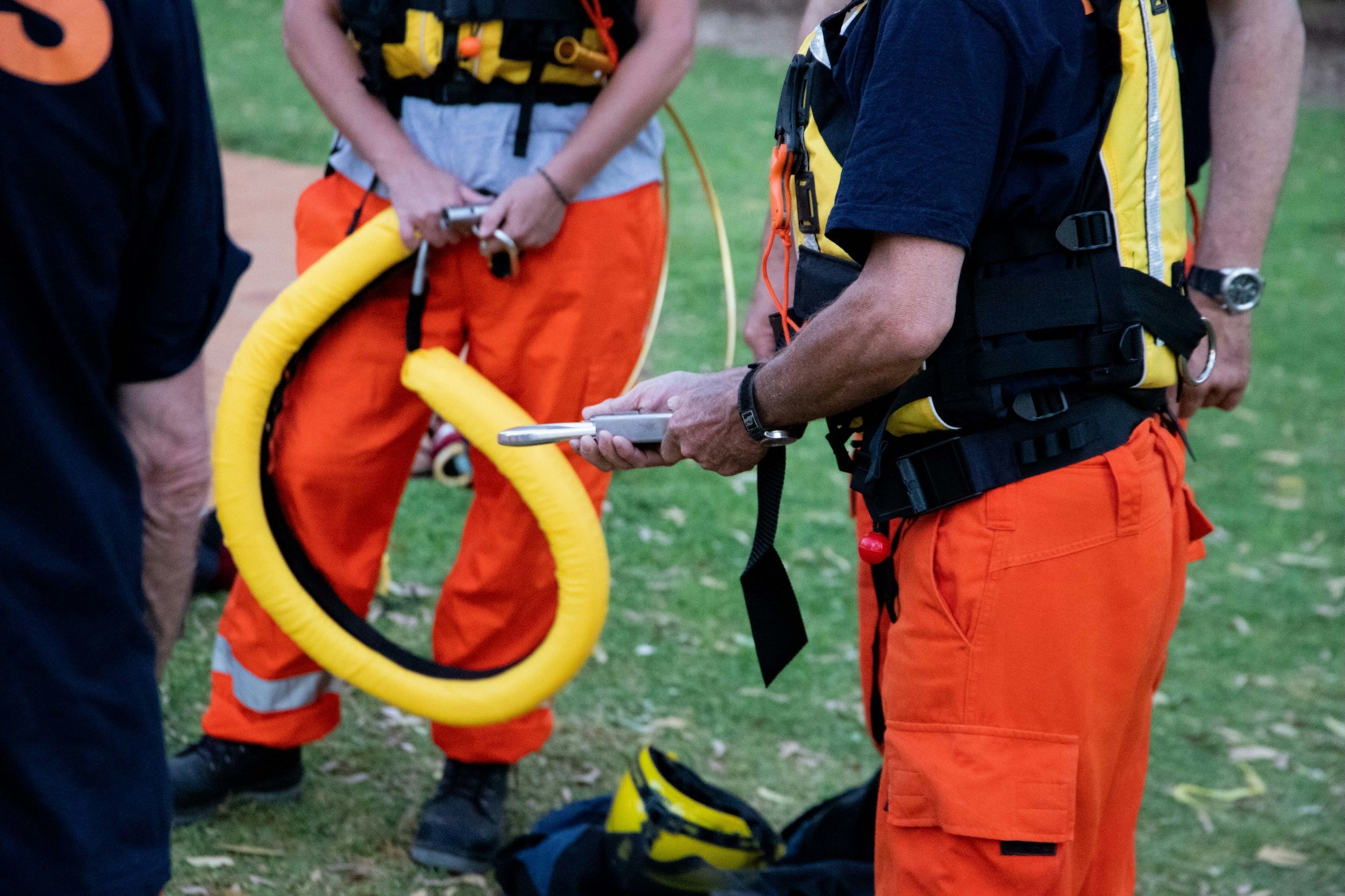
Search and rescue activation typically begins when someone contacts local authorities. This might be a family member, a hiking partner who made it out, or occasionally the person in distress themselves via satellite device. In most U.S. counties, the sheriff’s department coordinates response, mobilizing teams that are often entirely volunteer-based. These dedicated responders drop everything to search for strangers in challenging terrain and conditions. The best way to honor that commitment? Don’t need them in the first place.
The Five Most Common SAR Scenarios
Overdue and Lost Hikers
This is the single largest category of SAR calls, accounting for roughly 40% of all wilderness rescues according to Mountain Rescue Association data. The typical scenario: someone ventures onto a trail, loses the route or misjudges timing, and darkness falls before they return. What started as “I’ll just check out this side trail” becomes a night in the woods without proper gear.
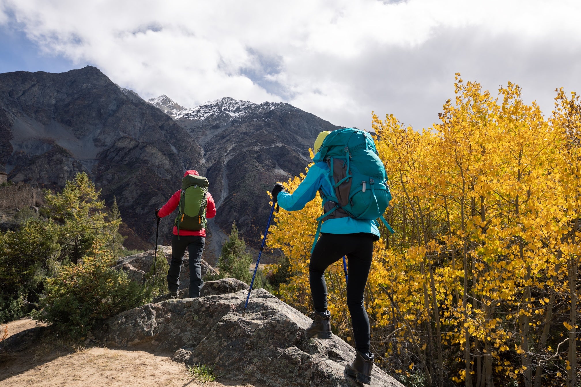
What escalates these situations: Navigation errors compound quickly in unfamiliar terrain. A wrong turn leads to another as hikers try to “fix” their mistake rather than backtracking. Add fading daylight, no headlamp, and inadequate clothing, and suddenly a simple wrong turn becomes a survival situation. Cell phones die. Temperatures drop. Panic sets in.
Red flags: Starting late in the day, continuing past planned turnaround times, following unmarked “shortcuts,” hiking alone without telling anyone your specific route, relying solely on phone GPS without backup navigation.
River and Water Incidents
Swift water accounts for approximately 15% of SAR calls, with a disproportionately high fatality rate. Most incidents involve stream crossings during spring runoff, underestimated current strength, or attempts to retrieve gear from moving water.
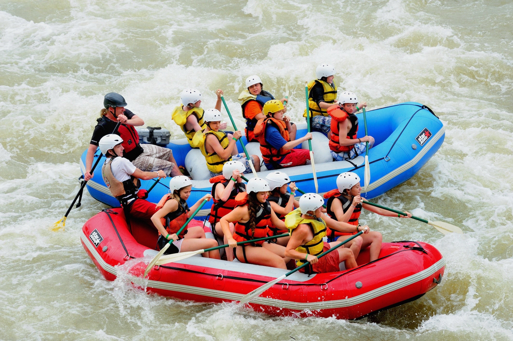
What makes these deadly: Water is deceptively powerful. Current moving at just 6 mph can knock an adult off their feet, and cold water incapacitates within minutes. Many victims are experienced hikers who’ve crossed the same stream safely in different seasons. The decision to cross often happens after hours of hiking, when turning back feels psychologically impossible despite obvious danger.
Red flags: Crossing swollen streams in early season, attempting crossings alone, wearing a heavy pack without unbuckling the hip belt, crossing in the evening when you’re fatigued, ignoring local warnings about water levels.
Weather Exposure
Hypothermia and heat-related emergencies make up roughly 20% of SAR incidents. Contrary to popular belief, most hypothermia cases occur in temperatures between 30-50°F, not extreme cold, when hikers are wet, exhausted, and inadequately layered.
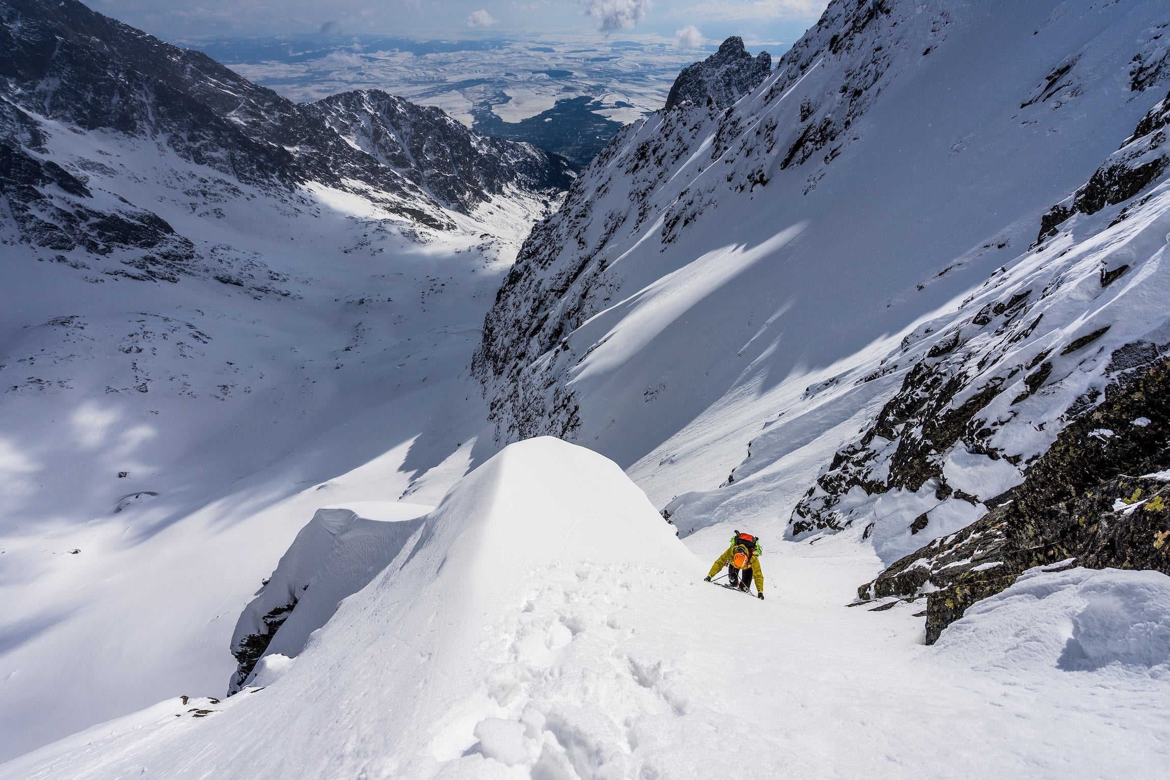
What turns weather into emergency: The cascade effect. You get rained on. Your cotton shirt stays wet. Wind picks up. Core temperature drops. Decision-making deteriorates. You stop recognizing you’re in trouble. Similarly, heat exhaustion progresses to heat stroke when early symptoms (dizziness, nausea, confusion) are ignored or attributed to altitude or exertion.
Red flags: Checking weather once before a multi-day trip, bringing insufficient layers “because it’s summer,” ignoring afternoon thunderstorm patterns in mountainous terrain, inadequate water capacity, continuing to push when showing early symptoms of heat or cold stress.
Navigation Errors and Off-Trail Incidents
About 15% of rescues stem from people becoming disoriented or venturing off established trails. Modern technology has created a false sense of security, until phone batteries die, GPS signals fail in canyons, or downloaded maps prove inaccurate.

What compounds the problem: The psychology of being lost is powerful. People often continue moving, trying to “find their way out,” which takes them farther from their last known position and makes them harder to find. Night falls. Terrain becomes hazardous. What began as mild uncertainty becomes genuine emergency.
Red flags: Relying on a single navigation method, following faint or unmarked trails without verification, bushwhacking without proper skills, failing to track your route, not recognizing terrain features from your map.
Injuries and Medical Emergencies
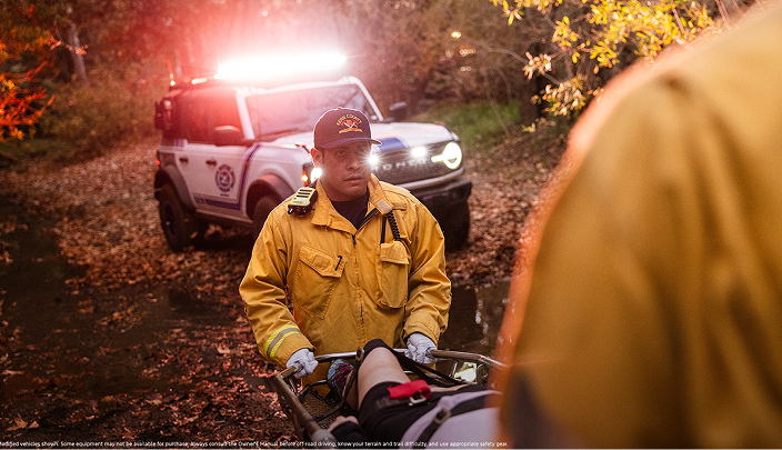
Traumatic injuries (primarily ankle and knee injuries on descents, plus falls) account for roughly 10% of SAR calls. Most happen in the afternoon when fatigue sets in and concentration wanes.
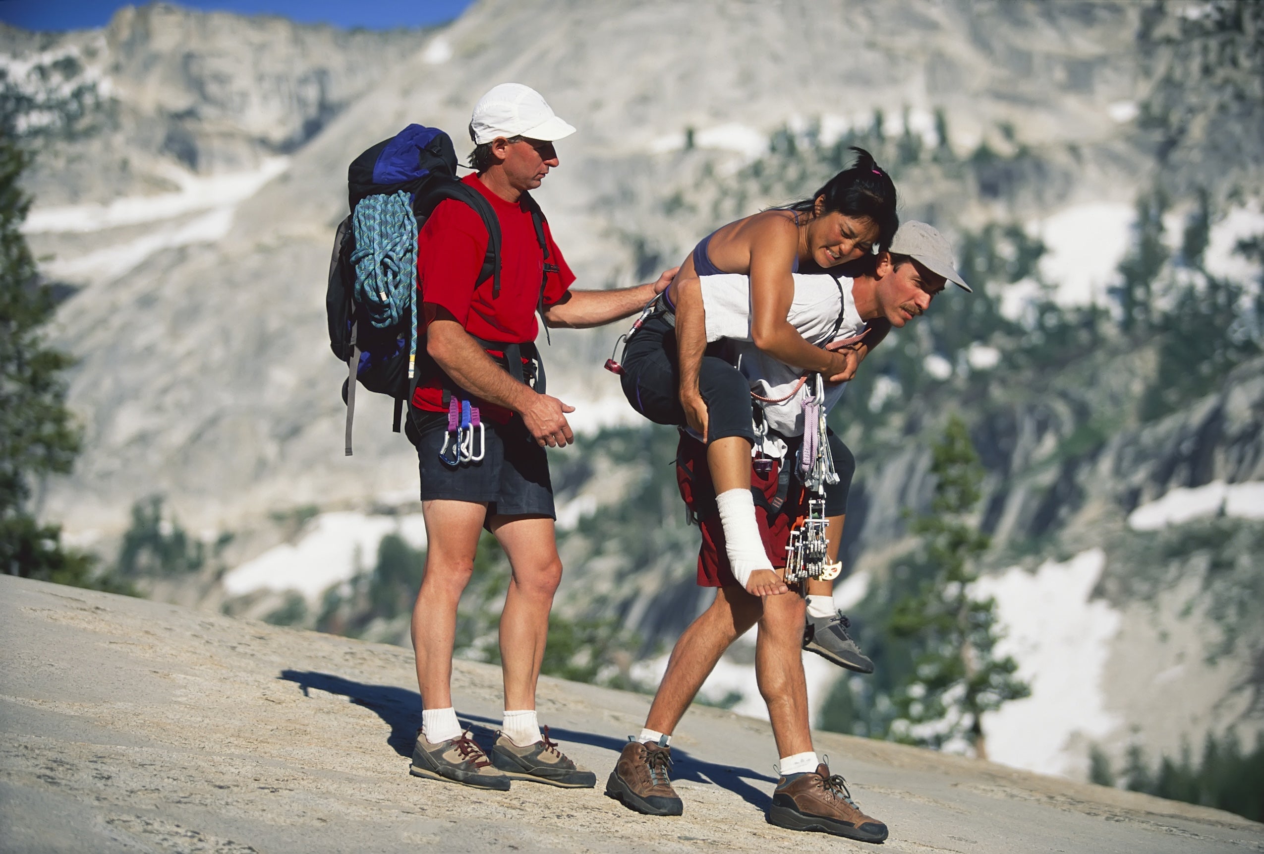
What makes injuries critical: Location and communication. A twisted ankle at mile two becomes a walk-out with support. The same injury at mile twelve in remote terrain becomes a technical rescue requiring litter carries or helicopter evacuation. Without communication capability, even moderate injuries can become life-threatening as hours pass.
Red flags: Descending too quickly, hiking beyond your fitness level, poor footwear choices, ignoring fatigue, traveling alone with pre-existing medical conditions, no first aid knowledge or supplies.
What Turns Mistakes Into Rescues
The difference between “we had an adventure” and “we needed rescue” often comes down to a few critical factors:
No trip plan left behind. When nobody knows where you are, when to expect you back, or when to worry, help gets delayed by crucial hours. SAR teams report that many rescues begin 12-24 hours after someone actually needed help because no one knew to call.
Inadequate gear for conditions. The “Ten Essentials” exist because they address the most common failure points. No headlamp means you can’t safely navigate after dark. No emergency shelter or extra layers means weather exposure. No first aid supplies means minor injuries become major problems. Gear isn’t about carrying everything possible. It’s about having what you need when things don’t go as planned.
Overestimating ability, underestimating time. “Summit fever” drives many rescues. Hikers continue past safe turnaround times, convinced they’re “almost there.” The reality: most accidents happen on the descent, when you’re tired, and many overdue calls involve people who summited but couldn’t make it down before dark.
Communication failure. In the backcountry, your phone is a camera, not a lifeline. Dead batteries, no service, and no backup communication mean that when you need help, you can’t call for it. Modern satellite communication devices have changed SAR outcomes dramatically, but only if you carry one and know how to use it.
Cascade failures. Small problems compound. You start late, which makes you rush, which leads to a navigation error, which makes you later, which means you’re hiking in darkness without a headlamp, which leads to injury. SAR teams see this pattern repeatedly: one poor decision creates conditions for the next.
What SAR Teams Prioritize in the First Hours
Understanding how rescuers think can inform your prevention strategies:
Establishing Last Known Point (LKP). The most valuable information is where you were last seen or last made contact. This is why detailed trip plans matter. They give searchers a starting point and probable search area. With modern satellite SOS devices, LKP is immediate and accurate, dramatically reducing search times.
Terrain mapping and probability analysis. SAR teams use sophisticated analysis to predict where lost persons might be based on terrain, weather, and human behavior patterns. They know people tend to follow drainages, avoid steep climbs when disoriented, and seek shelter in certain conditions. Your job: stay put if you’re lost and unable to safely navigate back.
Resource deployment decisions. SAR coordinators must decide: ground teams or helicopter? Where to start searching? How many resources to commit? These decisions depend heavily on information quality. Vague trip plans (“hiking somewhere in the national forest”) make effective response nearly impossible.
Time-critical factors. Weather windows, remaining daylight, and medical urgency drive response intensity. Someone with a satellite SOS indicating injury gets faster, more aggressive response than someone simply overdue. This isn’t callousness. It’s triage with limited resources.
Prevention: What Actually Works
Before You Go
Leave a detailed trip plan with someone responsible who will actually call for help if you’re overdue. Include: specific trailhead and parking location, planned route with alternates, expected return time (with a buffer), vehicle description and plate number, group member names, emergency contacts, and clear instructions on when to call authorities.
Check current conditions, not just forecasts. Trail reports, ranger station updates, and recent trip reports reveal conditions forecasts miss: snow levels, stream crossings, trail closures, wildlife activity. Weather forecasts should cover your entire trip window, not just departure day.

Know your route and bailout options. Study the map. Identify where you could exit early if needed. Understand terrain features. Know where you’ll have communication capability. Download offline maps as backup, but don’t rely on them exclusively.
Verify communication options. If you’re going beyond cell coverage, you need satellite communication. Devices like Garmin inReach or Zoleo provide two-way messaging and SOS capability. Test them before your trip, not when you need them.
On the Trail
Respect turnaround times ruthlessly. Calculate when you must turn around to return safely before dark, then stick to it regardless of how close the summit appears. The mountain will be there next time.
Monitor conditions actively. Weather changes, group energy levels, pace relative to plan: these should trigger continuous decision-making. Be willing to modify or abandon plans when conditions warrant.
Communicate changes. If you have satellite communication, update your contact when you change plans. If not, leave notes at trailheads or trail junctions when deviating from your stated route.
Recognize early warning signs. Fatigue, navigation uncertainty, weather deterioration, group conflict: these are signals to pause, reassess, and potentially turn back. The best rescues are the ones that never happen because someone recognized trouble early.
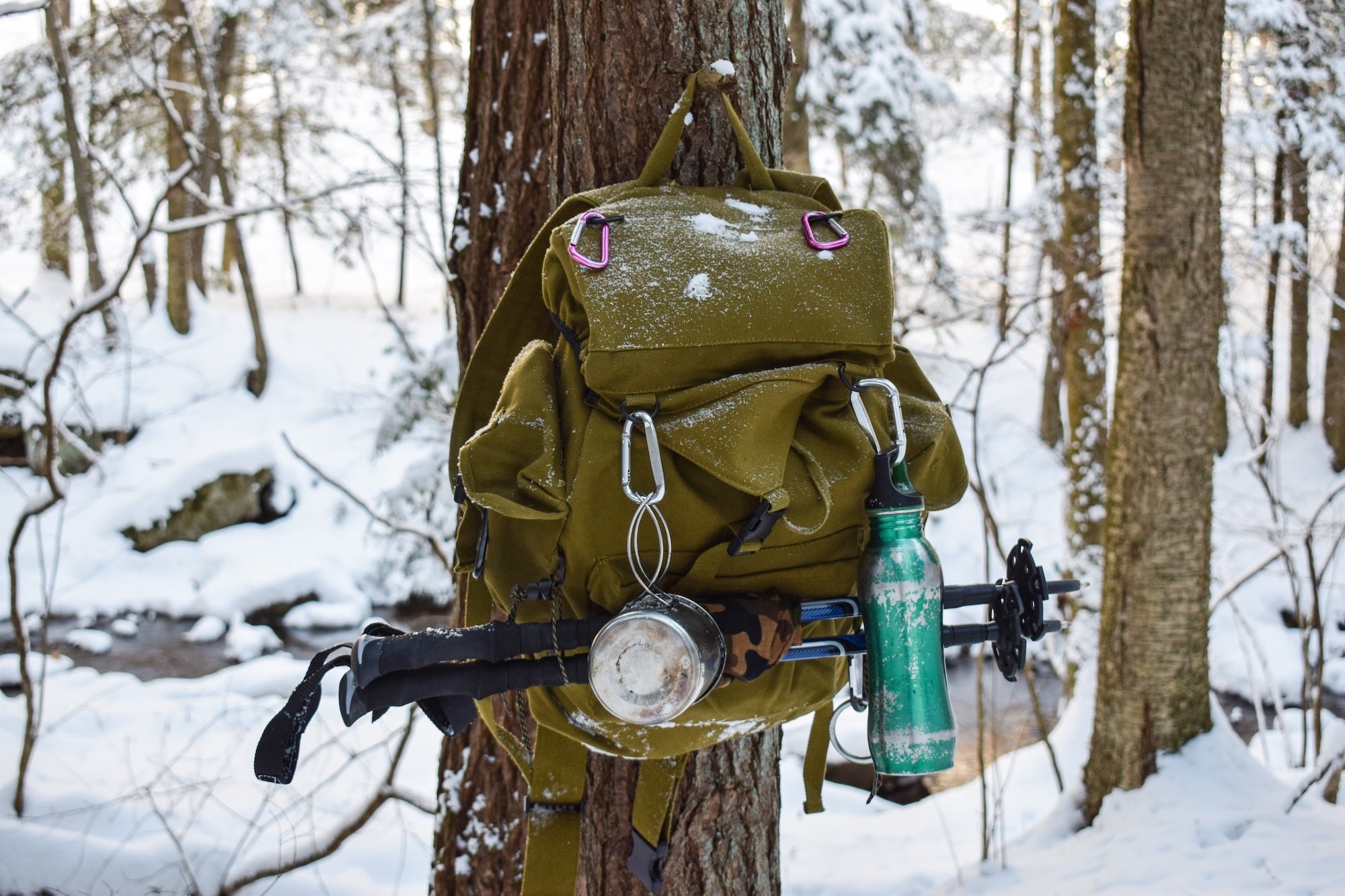
Essential Equipment
Communication tools: Satellite messenger devices are no longer luxury items for remote travel. They’re essential safety equipment. They allow you to call for help, provide exact coordinates, and communicate your situation. Cost: roughly $15-30/month plus device purchase.
The difference between “nice to have” and “need to survive”: Navigation (map, compass, GPS), sun protection, insulation, illumination, first aid, fire starter, emergency shelter, nutrition, hydration, and repair tools. These aren’t suggestions. They’re the baseline for responsible backcountry travel.
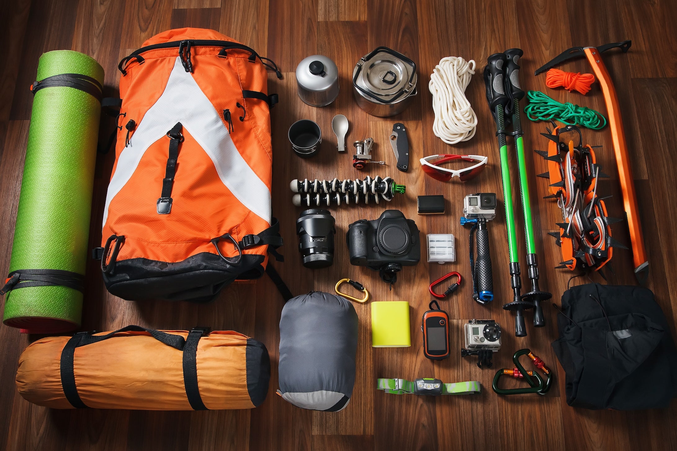
Build in redundancy: Two light sources. Multiple fire-starting methods. Backup navigation. Battery backup for critical electronics. Redundancy isn’t paranoia. It’s acknowledging that gear fails and batteries die.
As Deputy Todd Rector, who’s coordinated hundreds of SAR operations, puts it: “Success in the backcountry comes through education and experience and preparation.” That preparation happens long before you need it, in the planning, the gear choices, the skills you develop, and the judgment you exercise.
The Bottom Line
Most search and rescue calls follow predictable patterns because human psychology and decision-making follow patterns. We push past turnaround times because we’re “so close.” We rely on phone GPS because it’s convenient. We skip trip plans because “it’s just a day hike.” We continue despite warning signs because turning back feels like failure.
But here’s what SAR veterans know: turning around is success. Carrying gear you don’t use is success. Leaving detailed plans for a trip where nothing goes wrong is success. These aren’t wasted efforts. They’re exactly why nothing went wrong.
The goal isn’t to eliminate risk from outdoor recreation. Risk is inherent and, for many, part of the appeal. The goal is to make informed decisions that keep manageable risks from becoming emergencies. To recognize that the difference between an epic adventure story and a SAR statistic often comes down to a few critical choices made when everything still seems fine.
The outdoor community has a responsibility to each other: to be prepared, to make sound decisions, to not require rescue for preventable reasons. Not because SAR teams won’t come (they will, every time, without judgment), but because the best outdoor experiences are the ones where you return safely under your own power, with stories to tell and plans for the next adventure.
The Dyrt is the only camping app with all of the public and private campgrounds, RV parks, and free camping locations in the United States. Download now for iOS and Android.Popular Articles:
Articles on The Dyrt Magazine may contain links to affiliate websites. The Dyrt receives an affiliate commission for any purchases made by using such links at no additional cost to you the consumer.