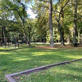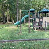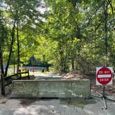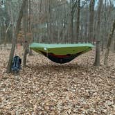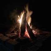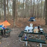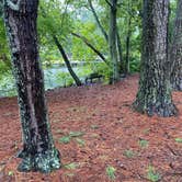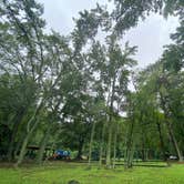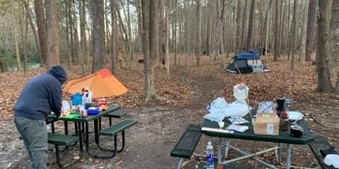

Situated within the Big Bethel Recreation Area on Langley Air Force Base, this military FamCamp sits alongside a lake and reservoir in Hampton, Virginia, surrounded by mature trees that provide solid shade over generously sized sites. Access requires valid military ID. Each site has a grill, picnic table, and fire ring, and the campground runs year-round with full hookups available for RVs up to 45 feet, including electric, water, and sewer connections.
Noise is worth factoring into trip planning. Saunders Road runs nearby, and reviewers note that traffic, including emergency vehicles, carries through at night. Weekends can also bring crowds and event activity from an adjacent field and paintball area, though one regular visitor noted that over five or six weeks of stays, only one weekend felt noticeably loud. A few sites have drainage issues after sustained heavy rain. On quieter visits, the lake gives anglers and paddlers direct water access, and boat rentals are available on site. Campers who brought canoes and dogs have found the setup accommodating on both counts.
"Everything was very clean," notes Cari M., and cleanliness comes up across multiple reviews. Tent sites are closely grouped, and bathroom lighting shines onto the camping area through the night, so light sleepers should plan accordingly. Rates run $15 to $30 per night, reservations are required, and bookings are capped at 90 days out with a 180-day annual limit. Campers looking for camping near Big Bethel Recreation Area or a more nature-focused alternative nearby can also consider Sandy Bottom Nature Park to the south.
RV Road Trip Guides


Map & DirectionsMilitary Park Langley AFB Bethel Recreation Area is located in Virginia near Newport News
 Public Campground
Directions
The recommended way to the campground is by getting off I-64 at exit 261A and go West on Hampton Roads Center Pkw. For less than one mile to Hwy 600 or Big Bethel Rd. Then North about 1.5 miles on Big Bethel Rd to Saunders Rd. There is a traffic light there and you can only turn left. Turn left and go about 1/3 mile where the entrance to park is on the right hand side of the road at a sign "Hidden Road". The park is well indicated but there is a curve in the road just before you get to the entrance. Alternate directions are: I-64E to exit 258-us 17N-1 mile,rt on Harpersville rd 1 mile Park on left.
Coordinates
37.09232047 N
76.43085028 W
Connectivity
 T-Mobile5GExcellent CoverageVerified by 2 usersLast on 7/19/26
- Verizon5GExcellent CoverageVerified by 5 users
 AT&T5GGood CoverageVerified by 2 usersLast on 8/28/26
Connectivity
- T-Mobile5GExcellent CoverageVerified by 2 usersLast on 7/19/26
- Verizon5GExcellent CoverageVerified by 5 users
- AT&T5GGood CoverageVerified by 2 usersLast on 8/28/26
Access
- Drive-InPark next to your site
- Walk-InPark in a lot, walk to your site.
Site Types
- Tent Sites
- RV Sites
- Standard (Tent/RV)
- Group
- Yurts
Features
For Campers
- ADA Access
- Trash
- Picnic Table
- Phone Service
- Reservable
- WiFi
- Showers
- Drinking Water
- Electric Hookups
- Toilets
- Pets
- Fires
For Vehicles
- Sanitary Dump
- Sewer Hookups
- Water Hookups
- 30 Amp Hookups
- 50 Amp Hookups
- Big Rig Friendly
Drive Time
- 1 hr 3 min from Richmond, VA
- 2 hrs 35 min from Salisbury, MD
- 2 hrs 55 min from Lexington Park, MD