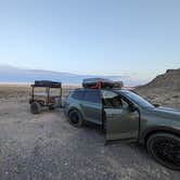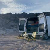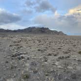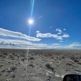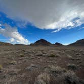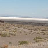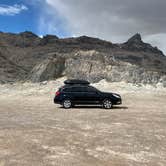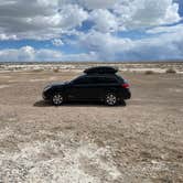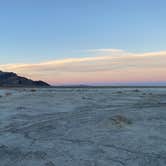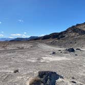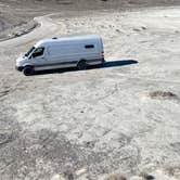
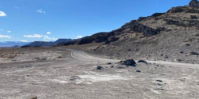
Managed by the Bureau of Land Management, this free dispersed area sits along a washboard dirt road that branches off from the Bonneville Speedway road near Wendover, Utah. The road is rough but manageable, and one reviewer towing a 33-foot travel trailer confirmed it is doable with room to turn around before committing to the full loop. No water is available on site. The nearest potable water and dump station is the KOA in West Wendover.
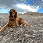
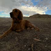
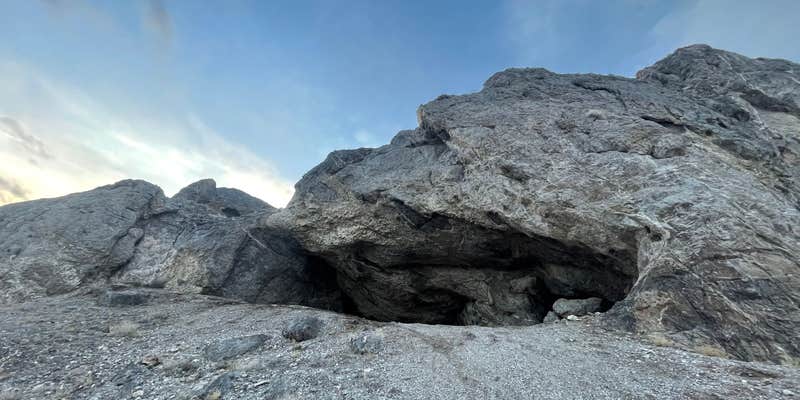
Sites vary in levelness, so arriving with extra time to scout helps. Campers who drive further along the road tend to find flatter ground and fewer neighbors. Some spots sit against the hills, which provides a degree of shelter from the wind, though wind is a recurring theme in reviews and can be significant. Rattlesnakes have been reported in the area. Cell service is listed as available, and campfires and pets are permitted.
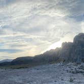
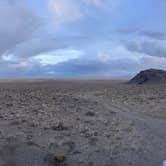
The setting faces open sightlines toward the Bonneville Salt Flats and surrounding mountains, with views that shift considerably between sunrise and midday. Susan T. notes that "just to view the flats in the morning is awesome." Dark skies make this a workable spot for stargazing. Nearby dispersed options include Volcano Peak Campground (Dispersed) and Cave Hill Dispersed Site, both within a short distance along the same general corridor.
Campers passing through or staging a longer stay in the region can find places to camp around Wendover to compare options before committing to a night out on the flats.
Description
No overnight camping on the salt flats. No driving vehicles on salt flats when wet or flooded.
The potash production canals north of Interstate 80 (I-80), located just east of the Bonneville Salt Flats, are leased and managed by Intrepid Potash and are located on a mix of private property, State of Utah School and Institutional Trust Lands Administration (SITLA) land, and Bureau of Land Management-managed public lands. The canals are industrial facilities leased to Intrepid Potash for potash mining activities and are not designed or safe for public recreation. Therefore, the public should not access, swim, float, kayak, canoe, or pursue any other recreation activities in these industrial canals. In addition, the Utah Highway Patrol has indicated that parking along I-80 to access to the canals is illegal and extremely dangerous due to the proximity to the interstate highway.
RV Road Trip Guides

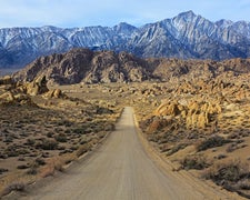
Map & DirectionsBLM by Salt Flats is located in Utah near Wendover
 Dispersed Camping
Coordinates
40.78361072935361 N
113.95149663840284 W
Connectivity
 T-MobileNo CoverageVerified by 6 usersLast on 9/11/26
 Verizon5GExcellent CoverageVerified by 2 usersLast on 2/11/26
- AT&T5GExcellent CoverageVerified by 6 usersLast on 9/11/26
Connectivity
- T-MobileNo CoverageVerified by 6 usersLast on 9/11/26
- Verizon5GExcellent CoverageVerified by 2 usersLast on 2/11/26
- AT&T5GExcellent CoverageVerified by 6 usersLast on 9/11/26
Access
- Drive-InPark next to your site
Site Types
- Tent Sites
- RV Sites
- Standard (Tent/RV)
- Dispersed
- Group
Features
For Campers
- ADA Access
- Phone Service
- Alcohol
- Pets
- Fires
For Vehicles
- Big Rig Friendly
DISPERSED CAMPING
Enjoy dispersed camping on government land and leave no trace. Pack in and pack out. No (or limited) services at this camping area. Permit may be required.
PERMIT might be REQUIRED
We curate permit requirements across the US for our PRO members. Try PRO to see if BLM by Salt Flats - Dispersed Site needs a permit.
Drive Time
- 1 hr 56 min from Salt Lake City, UT
- 2 hrs 23 min from Ogden, UT
- 2 hrs 33 min from Provo, UT
- 3 hrs 4 min from Twin Falls, ID