
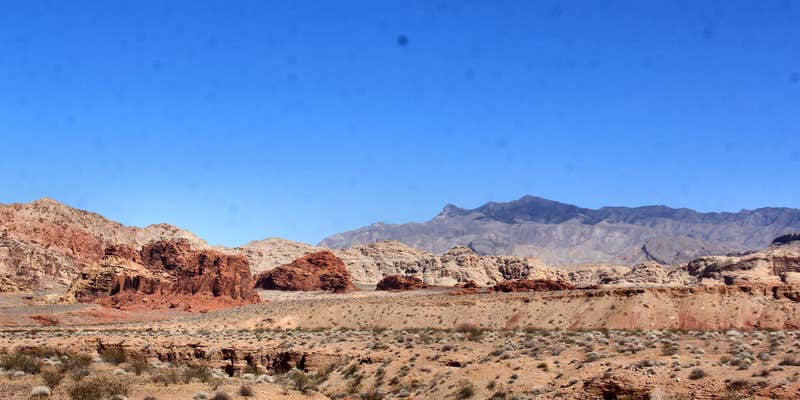
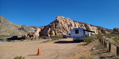
Hikers and OHV riders heading into the Whitney Pockets area use Falling Man Camp as a staging point, with access to red and white sandstone formations across the surrounding BLM landscape. No water, power, or restrooms are available on site. Cell coverage depends on your spot: sites with open sightlines south toward Lake Mead tend to get a signal, others do not. The access road is partially paved but has deep potholes, turning to gravel at Whitney Pockets, Nevada. Bring all water, and check your rig's clearance before committing to the drive in.
RV Road Trip Guides

Map & DirectionsBLM Whitney Pockets is located in Nevada near Bunkerville
 Dispersed Camping
Coordinates
36.52733526 N
114.1618886 W
Connectivity
 T-MobileNo Coverage
 VerizonLTESome CoverageVerified by 1 user
- AT&TLTESome Coverage
Connectivity
- T-MobileNo Coverage
- VerizonLTESome CoverageVerified by 1 user
- AT&TLTESome Coverage
Access
- Drive-InPark next to your site
Site Types
- Tent Sites
- RV Sites
- Standard (Tent/RV)
- Dispersed
- Equestrian
Features
For Campers
- Phone Service
- Pets
- Fires
For Vehicles
- Pull-Through Sites
- Big Rig Friendly
DISPERSED CAMPING
Enjoy dispersed camping on government land and leave no trace. Pack in and pack out. No (or limited) services at this camping area. Permit may be required.
PERMIT might be REQUIRED
We curate permit requirements across the US for our PRO members. Try PRO to see if BLM Whitney Pockets - Falling Man Camp needs a permit.
Drive Time
- 1 hr 32 min from St. George, UT
- 1 hr 52 min from Las Vegas, NV
- 4 hrs 5 min from Lake Havasu City, AZ
- 5 hrs 30 min from Prescott Valley, AZ



