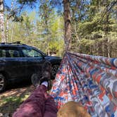
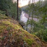
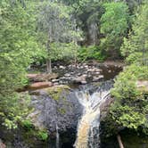
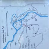
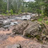
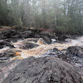
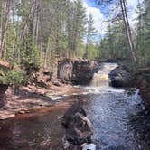
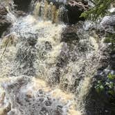
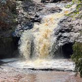
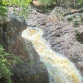
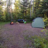
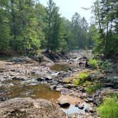
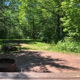
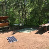
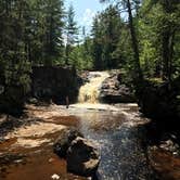
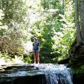
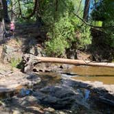
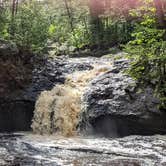
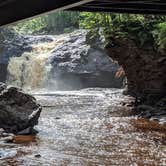
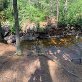
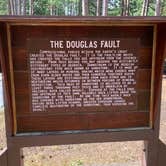
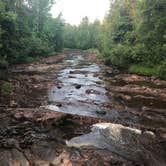
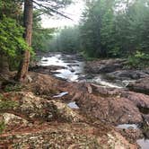
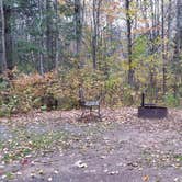
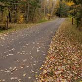
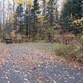
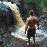
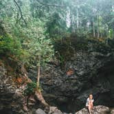
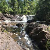
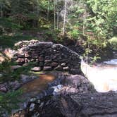
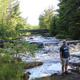
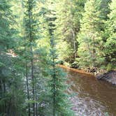
Waterfall enthusiasts and photographers will find direct trail access from their campsite to Amnicon Falls, where sandstone and basalt formations create multiple cascades within walking distance. The 36-site campground sits within dense forest cover, providing natural separation between sites that extends deep into the woods. Highway 2 runs close enough that traffic noise carries through the trees, though campers report it fades as evening activities begin.
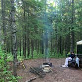
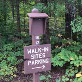
Sites vary considerably in size and terrain. The two walk-in sites require carrying gear from the parking area, while drive-in spots accommodate RVs up to 30 feet with electric and water hookups available. Joe R. recommends bringing "10-inch steel stakes and a 2.5lb sledge hammer because the ground is very rocky." Several reviewers mention the rocky soil makes tent setup challenging without proper equipment.
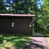
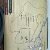
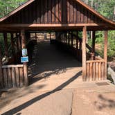
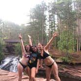
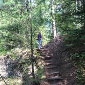
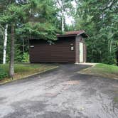
The covered bridge crossing to the island provides additional hiking opportunities beyond the main waterfall viewing areas. Rangers offer trail guides for the island's forest paths, where families often gather in clearings near the water. Vault toilets serve the campground at three locations, with drinking water available but no shower facilities. A dump station operates at nearby Pattison State Park for RV users.
Reservations are required and can be made online or by phone upon arrival. Wisconsin state park stickers are mandatory for all campers, with fees varying for in-state versus out-of-state visitors. Scott M. notes the campground offers "a lot to offer outside of the campground" and stays "really simple to get in and out of" due to its highway proximity.
Weekend spots fill quickly during summer months, though fall and winter camping remains available year-round. For additional camping options in the region, explore campgrounds around South Range or consider nearby Northland Camping & RV Park for full hookup sites.
Description
Amnicon Falls State Park features a series of delightful waterfalls and rapids along the Amnicon River which can be viewed from 2 miles of trails, picnic areas and the historic covered foot bridge. The rustic campground offers family campsites; there are no showers or flush toilets at the park. An open-air shelter adjacent to the Amnicon River is reservable.
RV Road Trip Guides

Map & DirectionsAmnicon Falls State Park Campground is located in Wisconsin near South Range
 Public Campground
Directions
Amnicon Falls State Park is about 7 miles east of the Superior city limits in Douglas County. Take US Highway 2/53 to to the southeast out of Superior. From the junction of highways 2 and 53, take US 2 about 1 mile east to County Highway U. Turn left (north) on Highway U and go about 0.3 mile. The park entrance is on the left.
Address
4279 Co. Hwy U
South Range, WI 54874
Coordinates
46.6087371 N
91.89335875 W
Connectivity
 T-Mobile5GExcellent CoverageVerified by 2 usersLast on 10/14/26
 VerizonLTEGood CoverageVerified by 12 usersLast on 10/14/26
 AT&TLTESome CoverageVerified by 2 usersLast on 8/7/26
Connectivity
- T-Mobile5GExcellent CoverageVerified by 2 usersLast on 10/14/26
- VerizonLTEGood CoverageVerified by 12 usersLast on 10/14/26
- AT&TLTESome CoverageVerified by 2 usersLast on 8/7/26
Access
- Drive-InPark next to your site
- Walk-InPark in a lot, walk to your site.
Site Types
- RV Sites
- Standard (Tent/RV)
Features
For Campers
- Trash
- Picnic Table
- Firewood Available
- Phone Service
- Reservable
- Drinking Water
- Electric Hookups
- Toilets
- Pets
- Fires
For Vehicles
- Sanitary Dump
- Water Hookups
- Pull-Through Sites
- Big Rig Friendly
Drive Time
- 19 min from Duluth, MN
- 1 hr 55 min from Eau Claire, WI
- 2 hrs 24 min from Minneapolis, MN
- 2 hrs 38 min from St. Cloud, MN