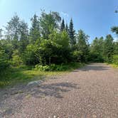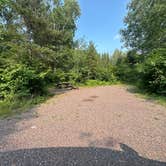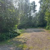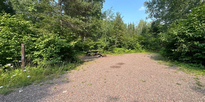
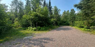
Wilson Lake Area sits within Superior National Forest, accessible via forest roads that require attention to surface conditions. The campground operates as an established site under Forest Service management, though specific amenity details remain limited in available records. Forest roads in this region can vary seasonally, making a high-clearance vehicle advisable depending on conditions.
The location places campers in the North Shore region's interior forest lands, removed from the immediate Lake Superior corridor. Wilson Lake Rustic Campground & Backcountry Sites operates less than a mile away, providing additional context for the area's camping infrastructure. Check current forest conditions and road status before departure, as access can change with weather patterns.
RV Road Trip Guides

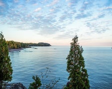
Map & DirectionsSuperior National Forest Wilson Lake Area is located in Minnesota near Schroeder
 Public Campground
Directions
From MN 61 northeast of Schroeder: Between Schroeder and the entrance to Temperance River State Park, turn inland on FR 343 (Temperance River Rd.) Drive 4 miles to a T intersection with FR 166 (The "600" Road). Turn left, drive 1 mile to FR 346. Turn right on FR 346. Drive 5.5 miles to FR 170 (The Grade). Turn left on FR 170. Drive 3 miles to FR 355 (Wilson Lake Access). Turn right on FR 355. Drive 0.5 miles to a fork in the road. Veer right to Wilson Lake Rustic Campground, veer left to Little Wilson Lake boat launch.
Coordinates
47.67126829 N
91.07442336 W
Connectivity
 T-MobileNo Coverage
- VerizonNo Coverage
- AT&TNo Coverage
Connectivity
- T-MobileNo Coverage
- VerizonNo Coverage
- AT&TNo Coverage
Access
Site Types
- Tent Sites
Features
Drive Time
- 2 hrs 8 min from Duluth, MN
- 4 hrs 25 min from Eau Claire, WI
- 4 hrs 29 min from St. Cloud, MN
- 5 hrs 36 min from Wausau, WI