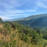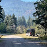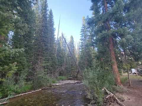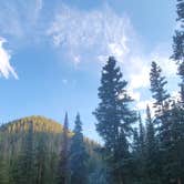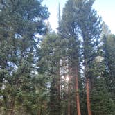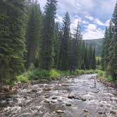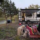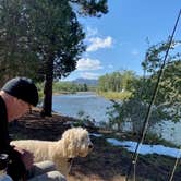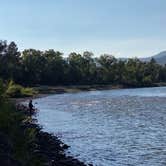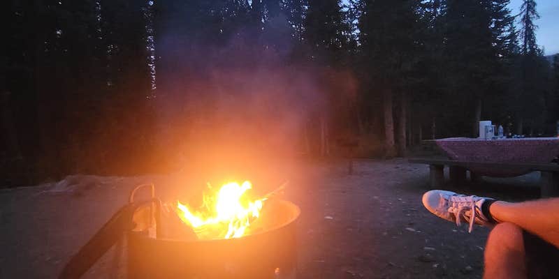
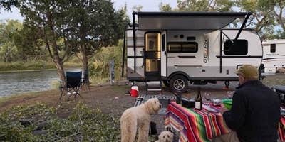
White River National Forest's South Fork Campground sits along the South Fork of the White River in northwestern Colorado, operated by the US Forest Service and open from May through November. Sites run first-come, first-served at $20 per night, paid in cash on-site. Most sites are shady and private, with a handful of more exposed spots that sit directly on the river. A camp host has been on-site in recent seasons, and vault toilets are maintained nearby.
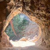
Two trailheads start at the back of the campground. The South Fork Trail (#1827) follows the river for 16 miles into the Flat Tops Wilderness, while the Spring Cave Trail (#1834) leads to a bat cave that requires a permit and decontamination compliance before entry; "check the forest service website for full details," notes Campground Recon C.. Spring Cave is open mid-April through mid-August only. The trail to Cliff Lake is also accessible from the campground and gains elevation over a few miles, though it can be overgrown in late summer.
Cell service is unreliable here. No potable water is available on-site, so campers should bring their own supply. RVs up to 36 feet are accommodated. Nearby alternatives include Meadow Lake Campground and Meadow Ridge Campground, both a few miles south along the same corridor. Campers planning a longer trip in the region can browse camping destinations around White River National Forest for additional stops. Arrive early on summer weekends, as sites near the river fill quickly.
Description
The South Fork Campground provides good access to fishing on the South Fork of the White River, and hiking & horseback riding in the Flat Tops Wilderness. This site provides access to South Fork Trail #1827and Spring Cave Trail #1834. Overflow camping is available (regular fees apply).
RV Road Trip Guides


Map & DirectionsSouth Fork Campground is located in Colorado near New Castle
 Public Campground
Directions
The South Fork Campground is located 29 miles east of Meeker. From Meeker, take Colorado Highway 13 east for 1 mile, then turn right (east) on Rio Blanco County Road 8 and follow this for 18 miles. Turn south and Rio Blanco County Road 10 for 2 miles, jog north .25 miles, then continue east for 10 miles to the campground.
Coordinates
39.86700025 N
107.5340004 W
Connectivity
 T-MobileNo Coverage
- VerizonNo Coverage
- AT&TNo Coverage
Connectivity
- T-MobileNo Coverage
- VerizonNo Coverage
- AT&TNo Coverage
Access
- Drive-InPark next to your site
- Walk-InPark in a lot, walk to your site.
Site Types
- Tent Sites
- RV Sites
- Standard (Tent/RV)
- Group
- Equestrian
Features
For Campers
- Trash
- Picnic Table
- Toilets
- Alcohol
- Pets
- Fires
For Vehicles
- Sanitary Dump
Drive Time
- 2 hrs 27 min from Grand Junction, CO
- 4 hrs 24 min from Denver, CO
- 4 hrs 34 min from Boulder, CO
- 5 hrs 10 min from Fort Collins, CO