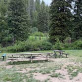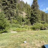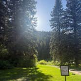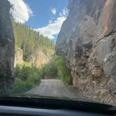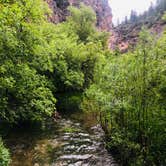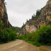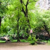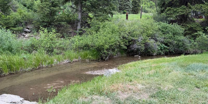
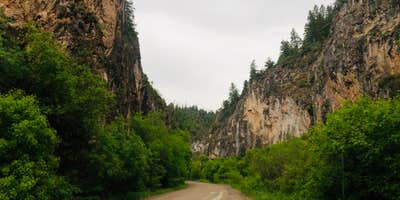
Rifle Mountain Park sits within a canyon managed by the City of Rifle, where walls of red and orange rock rise on both sides of the road and a creek runs through the length of the park. The campground spreads across both sides of the main road and along several side roads, with sites ranging from first-come, first-served spots along the main corridor to reservable van and tent sites. Sites fill quickly on weekends, so arriving early or booking ahead matters.
Cell service is essentially nonexistent inside the canyon. Reviewers note that completing online reservations requires driving out to Harvey Gap to get a signal, and the host cabin has limited hours. The booking process has a reputation for being complicated, particularly for group sites where the website provides little detail about what to expect on arrival. That said, amenities at each site include a fire ring, picnic table, and drinking water nearby, with pit toilets or porta-potties placed frequently throughout the park.
The park draws a consistent crowd of climbers, anglers, and hikers. Rifle Mountain Park- Sawmill Gulch sits just 0.5 miles north for campers who want a nearby alternative if sites here are taken. Fees run $10 for the city park entrance plus $20 per campsite, with additional vehicle fees on top. One reviewer described the layout as "minimal but pleasant," which captures the trade-off accurately. Sites are on the smaller side and positioned close together along the main road, though the vegetation provides some separation. Come prepared with cash for on-site payment and plan to arrive before the weekend rush.
RV Road Trip Guides


Map & DirectionsRifle Mountain Park is located in Colorado near Silt
 Public Campground
Directions
Take State Hwy 13 or Railroad Avenue (which becomes 13) North through the City. Take a right on County Road 325 (bowling alley at the corner), this will head you toward Rifle Creek Golf Course and Rifle Gap. Drive over the dam at Rifle Gap and continue on CR 325 until you reach the Rifle Fish Hatchery. The road will change to gravel after the fish hatchery. The entrance to the park starts about 2000 feet after the road turns to gravel.
Coordinates
39.73100052 N
107.6870004 W
Connectivity
 T-MobileNo Coverage
- VerizonNo Coverage
- AT&TNo Coverage
Connectivity
- T-MobileNo Coverage
- VerizonNo Coverage
- AT&TNo Coverage
Access
- Drive-InPark next to your site
- Walk-InPark in a lot, walk to your site.
Site Types
- Tent Sites
- RV Sites
- Standard (Tent/RV)
- Group
Features
For Campers
- ADA Access
- Trash
- Picnic Table
- Firewood Available
- Reservable
- Drinking Water
- Toilets
- Alcohol
- Pets
- Fires
Drive Time
- 1 hr 30 min from Grand Junction, CO
- 3 hrs 27 min from Denver, CO
- 3 hrs 37 min from Boulder, CO
- 4 hrs 12 min from Fort Collins, CO