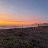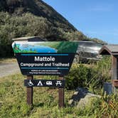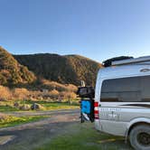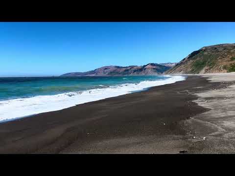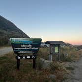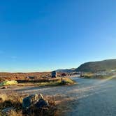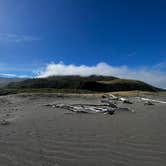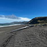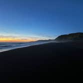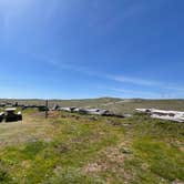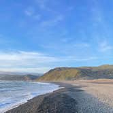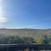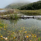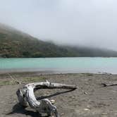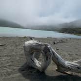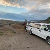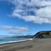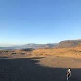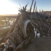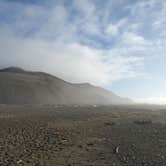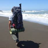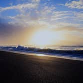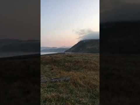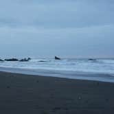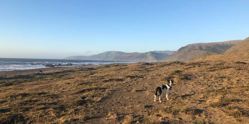
Hiking the northern terminus of the Lost Coast Trail draws most visitors to Mattole Campground, a BLM-managed site where the Mattole River meets the Pacific and the beach stretches south for miles. The trailhead sits directly at camp, giving backpackers an immediate start into the King Range, while day hikers can walk north along the shoreline to the river mouth, where harbor seals regularly haul out on the opposite sandbar. Wildlife sightings extend into camp itself: campers have reported cows wandering through sites in the morning and quail moving through the berry bushes at the edges.
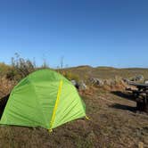
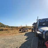
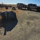
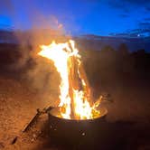
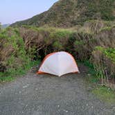
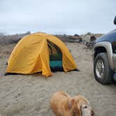
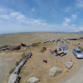
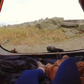
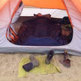
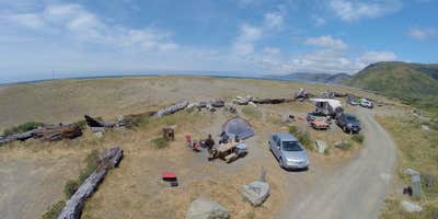
The 15 sites are first-come, first-served at $15 per night, and each includes a fire ring and concrete picnic table. Dunes separate the campsites from the water, which blocks sightlines to the ocean but also cuts the wind that frequently arrives in the afternoon and typically eases by evening. Site privacy varies: most spots are open and visible to neighbors, though a few offer more separation. One practical note for tent campers: native dune plants send small prickers into the sand among the sites, so footwear matters more than it might appear.
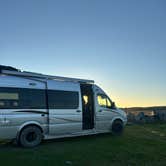
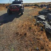
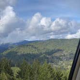
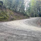
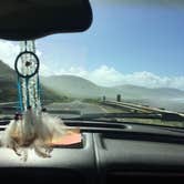
Reaching the campground requires commitment. The route from Ferndale follows Mattole Road through the King Range, a paved but rough stretch with steep grades and significant elevation change. Noah C. noted it "took me three hours to go 30 miles" with an older vehicle, and multiple reviewers flag deep potholes and muddy conditions after rain. High-clearance vehicles handle the road more comfortably than low-clearance cars, and large RVs or trailers are not well-suited to the route. There are no hookups and no potable water on site, so campers should arrive with everything they need. The small store in Petrolia is nearby but unreliable for hours; stocking up in Eureka or Fortuna before heading over the mountains is the more dependable approach.
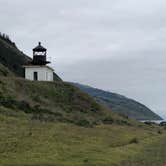
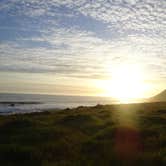
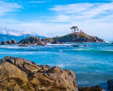
Cell coverage is limited to none through most of the drive and at camp itself, with occasional signal reported near the lighthouse farther up the trail. The campground fills on summer weekends, though midweek visits in shoulder seasons tend to find open sites. Celine D. noted the vault toilets were "plentiful stocked with tp" during her March visit, and cleanliness reviews are generally consistent across seasons. Campers who want additional options in the area can browse campgrounds near BLM Land — Arcata Field Office or consider nearby sites like A.W. Way County Park to the east. Mattole Campground suits self-sufficient campers willing to manage a demanding drive in exchange for direct access to one of California's most remote stretches of coastline.
Description
Facilities: 14 tent/trailer campsites with picnic tables, fire rings, vault toilets, no hookups. Potable water until October 31, 2016. Lost Coast Trailhead and parking area. Wheelchair accessible. No OHV access. ADA Access: Wheelchair accessible campsites
Fee Info
Use Fee: Camping - $8.00
RV Road Trip Guides

Map & DirectionsMattole Campground is located in California near Petrolia
 Public Campground
Directions
Location: North end of King Range at the beach. U.S. 101 at Garberville, South Fork/Honeydew, or Ferndale exits. Follow signs toward Petrolia, turn on Lighthouse Road toward ocean.
Address
Bureau of Land Management
Arcata Field Office
Arcata, CA 95521
Coordinates
40.28918 N
124.355879 W
Connectivity
 T-MobileNo Coverage
- VerizonNo CoverageVerified by 2 usersLast on 7/4/26
- AT&TNo Coverage
Connectivity
- T-MobileNo Coverage
- VerizonNo CoverageVerified by 2 usersLast on 7/4/26
- AT&TNo Coverage
Access
- Drive-InPark next to your site
- Walk-InPark in a lot, walk to your site.
Site Types
- Tent Sites
- RV Sites
- Standard (Tent/RV)
- Group
- Equestrian
Features
For Campers
- Trash
- Picnic Table
- Phone Service
- Toilets
- Alcohol
- Pets
- Fires
Drive Time
- 4 hrs 3 min from Santa Rosa, CA
- 4 hrs 25 min from Redding, CA
- 4 hrs 34 min from Grants Pass, OR
- 5 hrs 26 min from Chico, CA