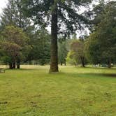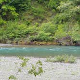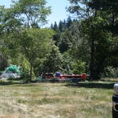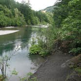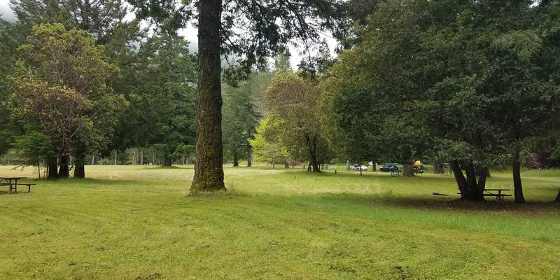

Managed by Humboldt County and open year-round, A.W. Way County Park sits along the Mattole River with flat, grassy campsites that reviewers describe as notably large. Sites are mowed grass rather than dirt, a detail that stands out among drive-in campgrounds in the region. Coin-operated showers, drinking water, and trash service are on-site. The river runs low in summer. Deer and skunks are regular visitors, and the park tends to run well under capacity on summer weekends, making it a low-stress option for families with dogs. Campers exploring the area can also find places to camp near Petrolia or continue south toward Honeydew Creek Campground for a different setting along the same general corridor.
RV Road Trip Guides


Map & DirectionsA.W. Way County Park is located in California near Petrolia
 Public Campground
Directions
Located 31 miles west of HWY 101; exit South Fork/Honeydew (22 miles north of Garberville) or 35 miles south of Ferndale on Mattole Road.
Address
36594 Mattole Rd
Petrolia, CA 95558
Coordinates
40.26900021 N
124.2300004 W
Connectivity
 T-MobileNo Coverage
- VerizonNo Coverage
- AT&TNo Coverage
Connectivity
- T-MobileNo Coverage
- VerizonNo Coverage
- AT&TNo Coverage
Access
- Drive-InPark next to your site
Site Types
- Tent Sites
- Standard (Tent/RV)
Features
For Campers
- Trash
- Picnic Table
- Showers
- Drinking Water
- Toilets
- Pets
- Fires
For Vehicles
- Pull-Through Sites
- Big Rig Friendly
Drive Time
- 3 hrs 40 min from Santa Rosa, CA
- 4 hrs 15 min from Redding, CA
- 4 hrs 35 min from Grants Pass, OR
- 5 hrs 7 min from Chico, CA