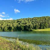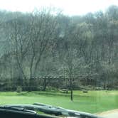
Reservations are available at this Wisconsin DNR-managed campground in the Bad Axe Watershed, open April 15 through October 15. Sites are grassy and level, with electric hookups, a dump station, and an RV water fill available, though individual water hookups at sites are not confirmed by recent visitors. Site 34 is noted for afternoon shade. A two-mile trail circles the lake, and the Mississippi River is roughly 20 minutes by car. Campers exploring campgrounds around Viroqua will find this one a workable base for the surrounding driftless country.
RV Road Trip Guides


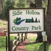
Map & DirectionsSidie Hollow County Main Campground is located in Wisconsin near Viroqua
 Public Campground
Directions
Located 3 miles southwest of Viroqua on County Trunk Hwy. From Viroqua, take State Hwy 56 west approximately 1/2 mile to County and follow signs to the park.
Coordinates
43.54615492 N
90.96067 W
Connectivity
 T-MobileNo Coverage
- VerizonNo CoverageVerified by 2 usersLast on 9/29/26
- AT&TNo Coverage
Connectivity
- T-MobileNo Coverage
- VerizonNo CoverageVerified by 2 usersLast on 9/29/26
- AT&TNo Coverage
Access
- Drive-InPark next to your site
- Boat-InSites accessible by watercraft.
Site Types
- Tent Sites
- RV Sites
- Standard (Tent/RV)
- Group
- Tent Cabin
Features
For Campers
- ADA Access
- Trash
- Picnic Table
- Firewood Available
- Reservable
- WiFi
- Showers
- Drinking Water
- Electric Hookups
- Toilets
- Alcohol
- Pets
- Fires
For Vehicles
- Sanitary Dump
- Water Hookups
Drive Time
- 41 min from La Crosse, WI
- 1 hr 40 min from Rochester, MN
- 1 hr 46 min from Dubuque, IA
- 1 hr 57 min from Madison, WI