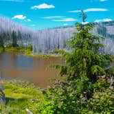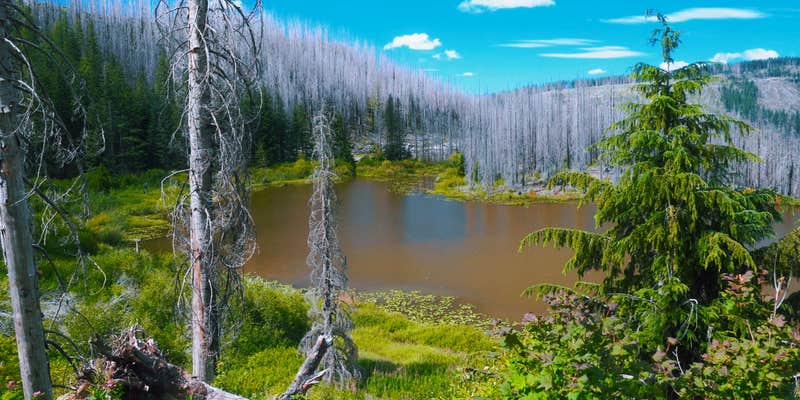
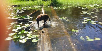
Rhody Lake sits within Santiam State Forest north of Scotts Mills, reached by a dirt road with a steep final approach that can challenge lower-clearance vehicles. The lake itself draws paddlers, with kayak access reported as relatively straightforward. Summer crowds are a known factor here. Campers should note that as of August 2025, the campground was closed to overnight use, so confirming current status with the Oregon Department of Forestry before making the drive is strongly advised.
RV Road Trip Guides


Map & DirectionsSantiam State Forest Rhody Lake Recreation Area is located in Oregon near Gates
 Public Campground
Directions
From the city of Silverton, take Hwy. 213 to Scott’s Mills Road and turn east. Proceed to the town of Scott’s Mills, drive through town until you reach the Crooked Finger Road, then turn right. Continue 9.6 miles to the end of pavement, then 2 miles over gravel road to the CF 400 Rd., then turn left. Travel 2 miles down this route to the Butte Creek Falls Trailhead, parking and restrooms are nearby. From the Butte Creek Falls Trailhead drive approximately 1.5 miles to the BC 500 Road and turn right. Follow the BC 500 for 5 miles until it splits. The BC 500 continues 1.5 miles to the right leading to Rhody Lake.
Coordinates
44.89329451 N
122.41091755 W
Connectivity
 T-MobileNo Coverage
- VerizonNo Coverage
- AT&TNo Coverage
Connectivity
- T-MobileNo Coverage
- VerizonNo Coverage
- AT&TNo Coverage
Access
- Drive-InPark next to your site
- Walk-InPark in a lot, walk to your site.
Site Types
- Tent Sites
- Standard (Tent/RV)
Features
For Campers
- Toilets
- Alcohol
- Pets
- Fires
Drive Time
- 1 hr 9 min from Salem, OR
- 1 hr 20 min from Albany, OR
- 1 hr 37 min from Corvallis, OR
- 1 hr 50 min from Portland, OR