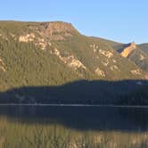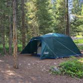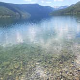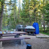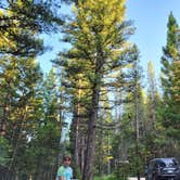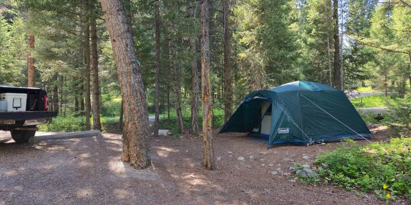
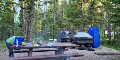
Spillway sits within Deerlodge National Forest outside Anaconda, Montana, along the forested edge of a reservoir that draws anglers and wildlife watchers. It's free to use. Campsites come with fire rings and picnic tables, vault toilets are well-maintained, and drinking water is available by pump. Campers visiting in summer 2025 should note that dam construction generates noise on weekdays from roughly 7am to 6pm. eastfork reservoir sits less than half a mile away, and several other campgrounds around Deerlodge National Forest are within a few miles. RVs are limited to 22 feet, and the season runs May 25 through September 30.
Description
This campground is located on the northwestern shore of East Fork Reservoir. The reservoir covers 500 acres with timbered hillsides all around. At the far end of the reservoir you may access the Anaconda Pintler Wilderness. At an elevation of 6,500 feet, Spillway Campground encompasses 3 acres. It is a nicely developed Forest Service campground with 13 campsites in lodgepole timber. Some sites are along the shore and some slightly back on the hillside. Restrooms and water are available and pets are welcome at the campground as long as they're kept on a leash. The maximum recommended trailer length for the area is 22 feet. Please limit your stay to 16 days.
RV Road Trip Guides

Map & DirectionsSpillway is located in Montana near Philipsburg
 Public Campground
Directions
From Philipsburg, MT, take State Rt. 1 south 6.6 miles to State Rt. 38. Turn right onto Rt. 38 and go 6.2 miles to East Fork Reservoir sign (Forest Rt. 672). Turn left onto Rt. 672 and go 5.1 miles to another East Fork Reservoir sign. Continue straight 0.4 miles to "East Fk. Resvr" sign at "Y" intersection. Continue straight through intersection and go 1 mile to Carp Creek sign. Turn right at sign and go 0.3 miles (across dam) to campground.
Coordinates
46.12700037 N
113.38300097 W
Connectivity
 T-MobileNo Coverage
- VerizonNo Coverage
- AT&TNo Coverage
Connectivity
- T-MobileNo Coverage
- VerizonNo Coverage
- AT&TNo Coverage
Access
- Drive-InPark next to your site
Site Types
- Tent Sites
- RV Sites
- Standard (Tent/RV)
Features
For Campers
- Drinking Water
- Toilets
- Alcohol
- Pets
- Fires
FREE established camping
Enjoy camping on government land. Limited or no services at this camping area.
Drive Time
- 1 hr 57 min from Missoula, MT
- 2 hrs 15 min from Helena, MT
- 2 hrs 28 min from Bozeman, MT
- 3 hrs 27 min from Great Falls, MT