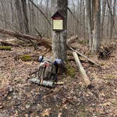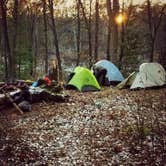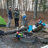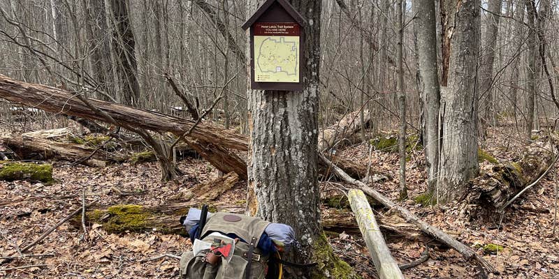

Foot travel only and first-come, first-served, the Hoist/Reid Lake Areas loop in Huron National Forest runs roughly 8 miles through forested terrain near water. Sites are rustic with no hookups, and campers report that previous visitors have left basic setups at many spots. Cell service is listed as available. The trail is low-traffic, and camp locations are spread along the route, giving hikers flexibility on where to stop for the night. Gabions Campground is a nearby alternative for those wanting a more developed site.
Description
Recreation areas located near Hoist and Reid Lakes, north of the Au Sable River in the northeast corner of the Huron National Forest.
RV Road Trip Guides


Map & DirectionsHoist/Reid Lake Areas is located in Michigan near Curran
 Public Campground
Coordinates
44.65524973 N
83.8379754 W
Connectivity
 T-MobileNo Coverage
- VerizonNo Coverage
 AT&TLTESome Coverage
Connectivity
- T-MobileNo Coverage
- VerizonNo Coverage
- AT&TLTESome Coverage
Access
- Walk-InPark in a lot, walk to your site.
- Hike-InBackcountry sites.
Site Types
- Tent Sites
- Group
Features
For Campers
- Phone Service
- Alcohol
- Pets
- Fires
Drive Time
- 1 hr 34 min from Bay City, MI
- 1 hr 44 min from Saginaw, MI
- 1 hr 44 min from Midland, MI
- 1 hr 46 min from Traverse City, MI