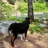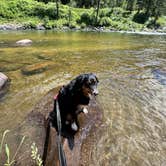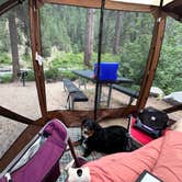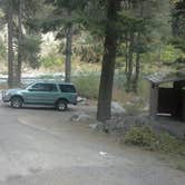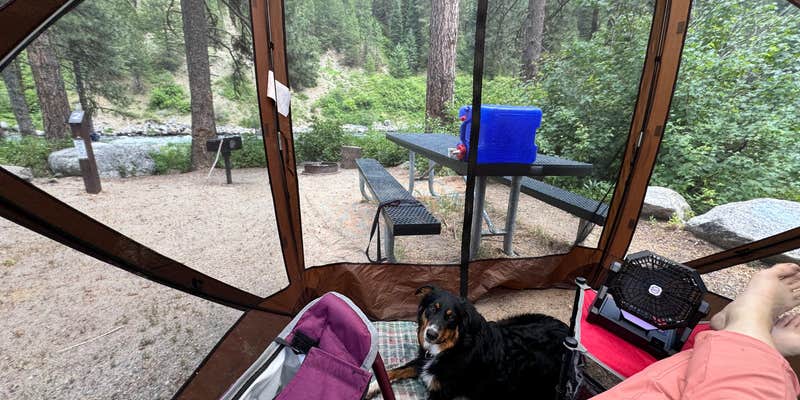
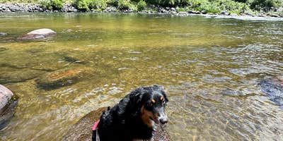
Sitting alongside the North Fork of the Payette River in Boise National Forest, Big Eddy Campground runs from late April through October and gives campers direct river beach access for fishing and wading. Sites accommodate RVs up to 30 feet, though reviewers note the space gets tight when combining a tent and vehicle at the same spot. Highway 55 runs nearby, so road noise is a real factor. Hosts make regular rounds, keeping the bathrooms maintained and answering questions about camping near Boise National Forest. Reservations are available, though most sites fill on a first-come, first-served basis. Anglers and anyone needing a reliable overnight stop along the corridor will find it worth a look.
Description
Overview Big Eddy Campground is located approximately 15 miles north of Banks, Idaho, just off Highway 55 at an elevation of 4,000 feet. The North Fork Payette River flows next to the highway, where whitewater rafting and kayaking are popular activities. Big Eddy used to be a water stop for the old steam engines. The foundation of the old water tower can still be seen across the river. Big Eddy Campground is one of 4 campgrounds that lie along State Highway 55, on the North Fork of the Payette River between Banks and Smiths Ferry. Natural Features: The campground is situated is a scenic canyon just above Highway 55. The mountains are forested with a mix of Ponderosa and lodgepole pines and shade is plentiful within most of the campground. Summer days are warm, reaching 80-90 degrees; nights are cooler. Recreation: The North Fork Payette River is a very popular location for whitewater rafting and kayaking. The Payette Whitewater Roundup is held annually in July along different sections of the river. Anglers will find good to excellent fishing for whitefish and rainbow trout.
RV Road Trip Guides

Map & DirectionsBig Eddy Campground is located in Idaho near Ola
 Public Campground
Directions
Big Eddy Campground is located in Southwestern Idaho, 44 miles north of Boise. Take State Highway 55 north to Banks (35 miles). Proceed north on Highway 55 (9 miles) to campground. Watch for recreation signs.
Coordinates
44.22048065 N
116.10678028 W
Connectivity
 T-MobileNo CoverageVerified by 3 usersLast on 10/23/26
- VerizonNo CoverageVerified by 2 usersLast on 10/23/26
- AT&TNo Coverage
Connectivity
- T-MobileNo CoverageVerified by 3 usersLast on 10/23/26
- VerizonNo CoverageVerified by 2 usersLast on 10/23/26
- AT&TNo Coverage
Access
- Drive-InPark next to your site
- Walk-InPark in a lot, walk to your site.
- Boat-InSites accessible by watercraft.
Site Types
- Tent Sites
- RV Sites
- Group
Features
For Campers
- ADA Access
- Picnic Table
- Firewood Available
- Phone Service
- Reservable
- Toilets
- Alcohol
- Pets
- Fires
Drive Time
- 1 hr 28 min from Boise, ID
- 3 hrs 12 min from Twin Falls, ID
- 3 hrs 43 min from Lewiston, ID
- 4 hrs 40 min from Walla Walla, WA