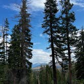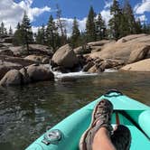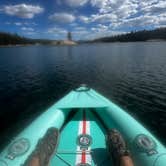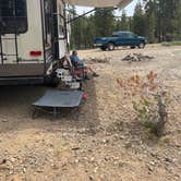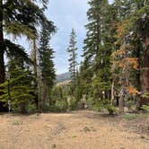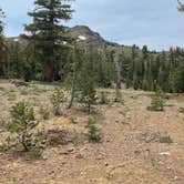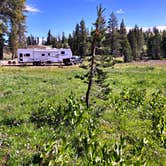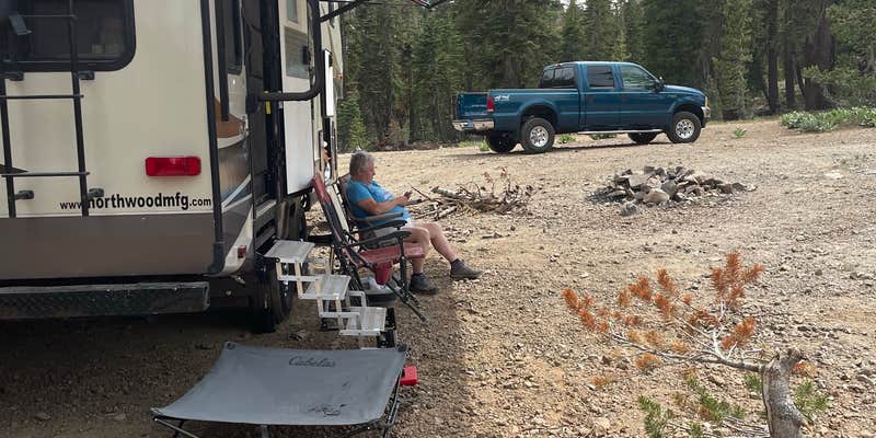
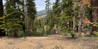
Along Blue Lakes Road between Hope Valley and the Blue Lakes, this dispersed camping area sits at 8,300 feet elevation within Toiyabe National Forest. Several pull-offs along the road give campers options for spacing. The road in is steep and winding, with grades up to 8%, and rain can cause washouts and deep puddles, so moderate to high clearance rigs handle it best. Water fill-up is available at developed campgrounds roughly five miles in either direction, including Upper Blue Lake Dam to the southwest. Expect more company over holiday weekends; early August visits have found sites uncrowded. Campers planning a trip to the campgrounds around Markleeville area should note that cell service is listed as available, though the elevation and terrain mean weather can shift quickly.
RV Road Trip Guides

Map & DirectionsDispersed USFS is located in California near Markleeville
 Dispersed Camping
Coordinates
38.6375261 N
119.91688136 W
Connectivity
 T-MobileNo CoverageVerified by 1 userLast on 9/12/26
 VerizonLTESome CoverageVerified by 6 usersLast on 9/6/26
- AT&TNo Coverage
Connectivity
- T-MobileNo CoverageVerified by 1 userLast on 9/12/26
- VerizonLTESome CoverageVerified by 6 usersLast on 9/6/26
- AT&TNo Coverage
Access
- Drive-InPark next to your site
- Walk-InPark in a lot, walk to your site.
Site Types
- Dispersed
Features
For Campers
- ADA Access
- Phone Service
- Alcohol
- Pets
- Fires
DISPERSED CAMPING
Enjoy dispersed camping on government land and leave no trace. Pack in and pack out. No (or limited) services at this camping area. Permit may be required.
PERMIT might be REQUIRED
We curate permit requirements across the US for our PRO members. Try PRO to see if Dispersed USFS needs a permit.
Drive Time
- 1 hr 7 min from Carson City, NV
- 1 hr 35 min from Reno, NV
- 2 hrs 14 min from Sacramento, CA
- 2 hrs 31 min from Stockton, CA