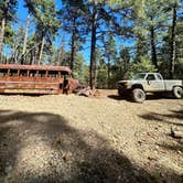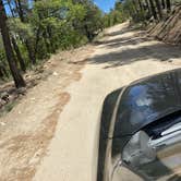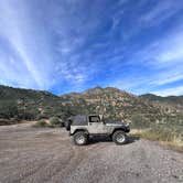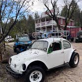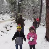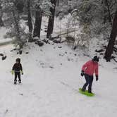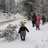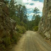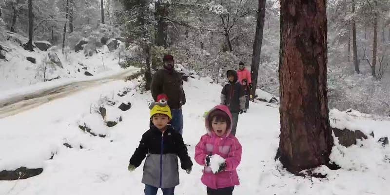
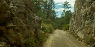
Reaching Horsethief Basin Lake requires roughly 26 miles of unpaved, switchback-heavy road from the I-17 Bumble Bee exit, and the final 7 miles past Crown King demand a high-clearance vehicle, with 4x4 strongly recommended. Single-vehicle-width bridges and steep grades are part of the route. Fuel and supplies are available in Crown King, but prices run high, so most campers stock up before making the drive. Snow can limit or close access entirely in winter months.
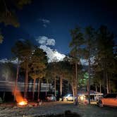
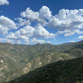
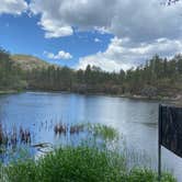
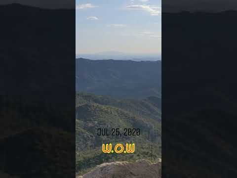
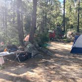
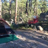
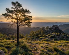
Sites sit at around 6,000 feet elevation, which keeps temperatures notably cooler than the Phoenix valley below. The area is open terrain near a lake, and several campers note sightlines that extend across the entire Phoenix metro area. The lake holds bluegill, largemouth bass, channel catfish, and muskie, making it a workable destination for anglers. OHV and ATV use is permitted in the area. Amenities include picnic tables, fire rings, firewood, and trash service, and cell service is available at the site.
Matt M. sums up the experience as "unimproved camping area, hard to get to and a cool old little mountain town." Crown King itself has a general store, a saloon, and a breakfast spot. Nearby lodging alternatives include Crown King Bunkhouse Hostel LLC and Crown King Cabins for those who want a roof. This campground is a good match for self-sufficient campers and OHV riders who are comfortable navigating rough backcountry roads to reach a high-elevation lake setting.
Description
Horsethief Basin Recreation Area offers a variety of recreational opportunities including: hiking, mountain biking, horseback riding, camping, fishing, and OHV riding. Castle Creek Wilderness is located nearby, and Horsethief Cabin and Turney Gulch Group Campground are available by reservation. Day use sites and trails are open year-round; overnight accomodations are not available during the winter. Scroll down (below the recreation map) to learn more about these recreational opportunities. Note: Until further notice, use of a high-clearance vehicle is recommended for those who plan to visit recreation sites in Horsethief Basin.
RV Road Trip Guides

Map & DirectionsCrown King Area (Horsethief Basin lake) is located in Arizona near Crown King
 Public Campground
Coordinates
34.21060021 N
112.33610075 W
Connectivity
 T-MobileNo Coverage
 VerizonLTESome CoverageVerified by 2 usersLast on 9/12/26
- AT&TLTESome CoverageVerified by 2 usersLast on 11/19/25
Connectivity
- T-MobileNo Coverage
- VerizonLTESome CoverageVerified by 2 usersLast on 9/12/26
- AT&TLTESome CoverageVerified by 2 usersLast on 11/19/25
Access
- Drive-InPark next to your site
- Walk-InPark in a lot, walk to your site.
- Hike-InBackcountry sites.
Site Types
- Tent Sites
- Standard (Tent/RV)
- Cabins
- Equestrian
Features
For Campers
- Market
- Trash
- Picnic Table
- Firewood Available
- Phone Service
- Alcohol
- Pets
- Fires
For Vehicles
- Pull-Through Sites
Drive Time
- 1 hr 21 min from Prescott Valley, AZ
- 1 hr 40 min from Phoenix, AZ
- 2 hrs 8 min from Flagstaff, AZ
- 4 hrs 29 min from Lake Havasu City, AZ