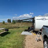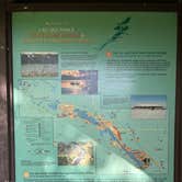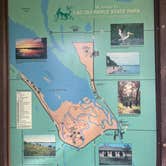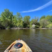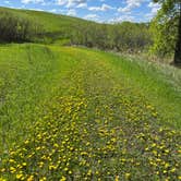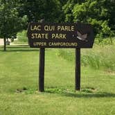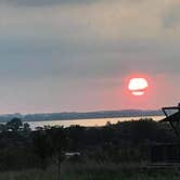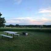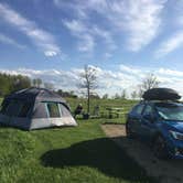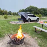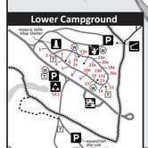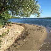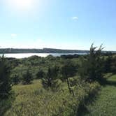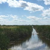
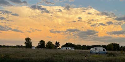
Bird watching, paddling, and open-sky stargazing draw campers to the Upper Campground at Lac qui Parle State Park, where the prairie setting above the lake sets it apart from the forested lower section of the park. Sites sit on gravel, run relatively level, and are well-spaced across two loops, with one loop facing Lac qui Parle Lake. No significant leveling is required for most rigs, and the campground accommodates RVs up to 60 feet with electric hookups available.
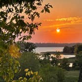
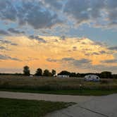
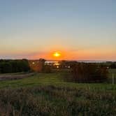
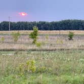
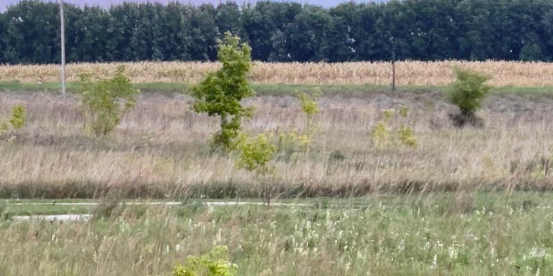
The terrain here is open grassland. Young trees have been planted throughout, but they won't provide meaningful shade for years, and the surrounding landscape includes farm fields on two sides. That openness works in campers' favor for watching large birds, including geese, turkey vultures, and pelicans, and the area sits along a major flyway that draws significant waterfowl during spring and fall migration. The lake itself is visible from the campground, and the wide skies make for good stargazing on clear nights. Verizon cell coverage is reported as poor, so plan accordingly.
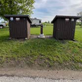
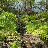
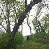
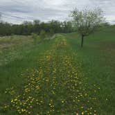
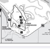
Hiking trails connect directly from the upper campground, though options are limited. The boat and canoe launch is located in the lower campground, roughly a 10-minute drive away. A centrally located bathhouse includes private showers, and a dump station sits near the entrance. The campground is remote enough that stocking up on groceries before arrival is strongly advised. Montevideo, the nearest town, has dining options including a taproom and a dog-friendly cafe, and campers planning a longer stay in the region can browse places to camp around Montevideo for additional bases. The Group Camp at Lac qui Parle State Park is 1.8 miles south for larger parties. This campground suits self-sufficient campers who prioritize lake views and wildlife access over shade and seclusion.
Description
Campground is open April 1 - November 30
Arrive prepared. Go to mndnr.gov/lacquiparle for visitor alerts and seasonal updates.
RV Road Trip Guides

Map & DirectionsLac qui Parle Upper Campground is located in Minnesota near Montevideo
 Public Campground
Directions
Approximately 1/2 mile north of Watson on U.S. Highway 59 and State Highway 7, then west on Chippewa County Road 13.
Address
14047 20th Street Nm
Watson, MN 56295
Coordinates
45.045747 N
95.88304748 W
Connectivity
 T-Mobile5GExcellent Coverage
 VerizonLTESome CoverageVerified by 2 usersLast on 9/28/26
- AT&TLTESome Coverage
Connectivity
- T-Mobile5GExcellent Coverage
- VerizonLTESome CoverageVerified by 2 usersLast on 9/28/26
- AT&TLTESome Coverage
Access
Site Types
- Tent Sites
- RV Sites
- Standard (Tent/RV)
- Group
- Cabins
Features
For Campers
- Market
- ADA Access
- Picnic Table
- Firewood Available
- Phone Service
- Reservable
- Showers
- Electric Hookups
- Toilets
- Pets
- Fires
For Vehicles
- Sanitary Dump
- 50 Amp Hookups
- Big Rig Friendly
Contact
General Info
Reservations
Drive Time
- 1 hr 42 min from St. Cloud, MN
- 2 hrs 16 min from Mankato, MN
- 2 hrs 20 min from Sioux Falls, SD
- 2 hrs 24 min from Minneapolis, MN