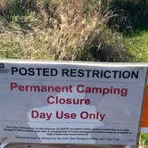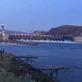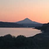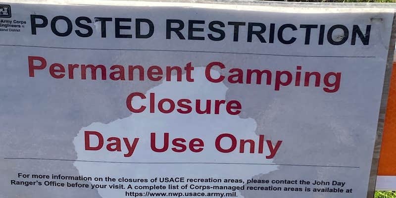
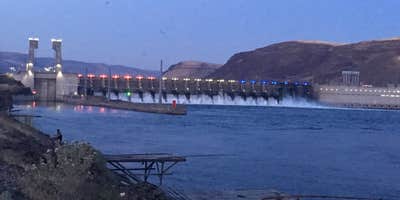
Within the Columbia River Gorge, Cliffs Park operated as a US Army Corps of Engineers campground along the banks of the Columbia River before its permanent closure. The site provided direct water access and views of Mount Hood across the river. Campers could watch commercial traffic navigate the locks at John Day Dam while fishing from the shoreline. The no-pets policy and boondocking-style camping attracted RV owners seeking riverside spots. White pelicans and other waterfowl frequented the area during certain seasons. The location worked well for campsites around Cheatham Lock and Dam exploration before closure.
Description
This recreation area is part of John Day Lock and Dam, Lake Umatilla
Map & DirectionsCliffs Park is located in Washington near Cheatham Lock and Dam
 Public Campground
Coordinates
45.71200051 N
120.71800055 W
Connectivity
 T-Mobile5GExcellent CoverageVerified by 21 usersLast on 11/1/26
 VerizonLTESome CoverageVerified by 4 usersLast on 11/1/26
- AT&T5GExcellent Coverage
Connectivity
- T-Mobile5GExcellent CoverageVerified by 21 usersLast on 11/1/26
- VerizonLTESome CoverageVerified by 4 usersLast on 11/1/26
- AT&T5GExcellent Coverage
Access
Features
Drive Time
- 1 hr 25 min from Kennewick, WA
- 1 hr 34 min from Yakima, WA
- 1 hr 36 min from Portland, OR
- 2 hrs 15 min from Longview, WA