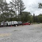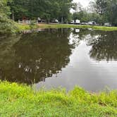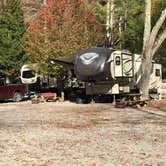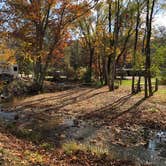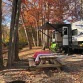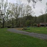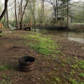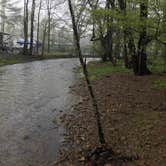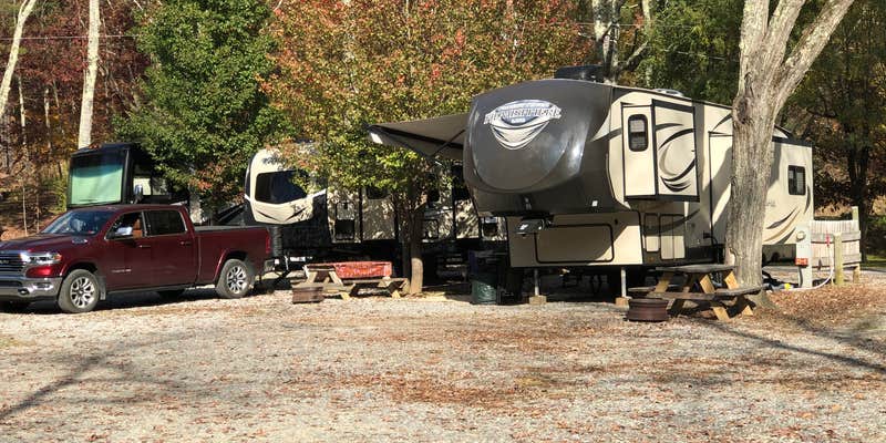
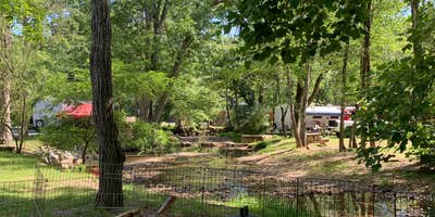
A stream runs through the property at Deer Trail Park & Campground in Wytheville, Virginia, and several sites back directly up to the water. The campground sits in a remote pocket of the Virginia highlands, which has real consequences for connectivity: cell service is all but nonexistent, and the WiFi tends to slow down in the evenings when the park is full. The access road has drawn caution from more than one reviewer, particularly for larger rigs making the turn into the off-road area, where trailer clearance can be tight. Campers with fifth wheels up to 60 feet can get full hookups with electric, water, and sewer.
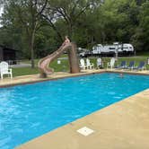
Recreation skews toward families. The grounds include a heated pool, a large game room, multiple playgrounds, and a catch-and-release pond that doesn't require a fishing license since it's privately owned. A hiking trail loops through the property, and deer sightings are common. Samuel C. describes the sites as "quite and spacious," though he flags that the entry turn can damage vehicles on larger rigs.
Bath facilities, including showers and toilets, draw consistent praise across reviews for cleanliness. The laundry is small but functional and sits near the pool deck. Rates run $39 to $65 per night depending on site type, and reservations are available. Pets are allowed. For a different setup in the same stretch of the Virginia highlands, Stoney Fork Campground sits a short distance to the southeast.
Description
Call us for a reservation, we will set you up with a pull through site if available and you can pull in and park. Scenic views in a valley away from highway noise. Enjoy our pool, recreation area, hiking trail, fishing pond and playground for the children .Hope to see you soon!
RV Road Trip Guides


Map & DirectionsDeer Trail Park & Campground is located in Virginia near Bland
 RV Park
Directions
From Interstate 81: Take exit, 70, go North on Hwy 52 (Stoney Fork Rd) for 9 miles, turn left on Gullion Fork Rd for 1 mile. Follow campground signs! From Interstate 77: Take exit 47 at bottom of ramp turn left go to stop sign approx. 4.5 miles, turn Right 1/4 mile, turn left at camp sign on Gullion Fork Rd proceed 1 mile to campground.
Address
599 Gullion Fork Rd
Wytheville, VA 24382
Coordinates
37.02382165 N
81.20619136 W
Connectivity
 T-MobileLTESome Coverage
 VerizonNo Coverage
- AT&TNo Coverage
Connectivity
- T-MobileLTESome Coverage
- VerizonNo Coverage
- AT&TNo Coverage
Access
- Drive-InPark next to your site
Site Types
- Tent Sites
- RV Sites
- Standard (Tent/RV)
- Group
- Cabins
Features
For Campers
- Market
- ADA Access
- Trash
- Picnic Table
- Firewood Available
- Phone Service
- Reservable
- WiFi
- Showers
- Drinking Water
- Electric Hookups
- Toilets
- Alcohol
- Pets
- Fires
For Vehicles
- Sanitary Dump
- Sewer Hookups
- Water Hookups
- Pull-Through Sites
- 30 Amp Hookups
- 50 Amp Hookups