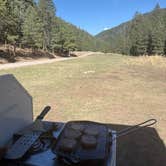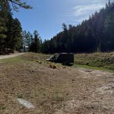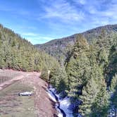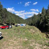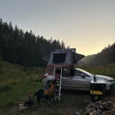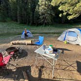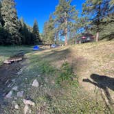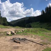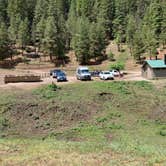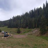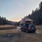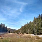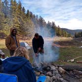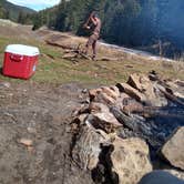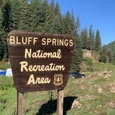
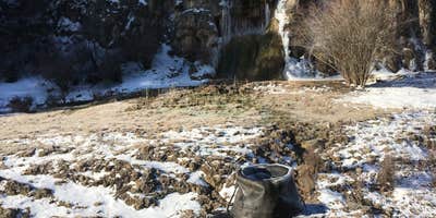
Lincoln National Forest's Sacramento district is home to Bluff Springs Dispersed Camping, a free-range area along a creek corridor roughly ten miles south of Cloudcroft via Sunspot Highway and Upper Peñasco Road. The final two miles are unpaved dirt road, and the route narrows in places to single-lane width, which has caused minor friction between vehicles traveling in opposite directions. Campers approaching from Mayhill should be aware that route adds approximately nine miles of rough unpaved road, making the Cloudcroft approach the practical choice for most rigs.
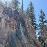
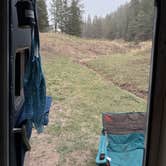
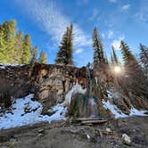
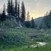
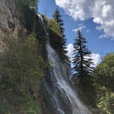
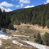
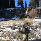
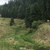
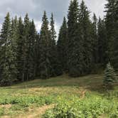
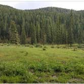
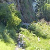
Sites spread out along the creek in a forested valley, and the most sought-after positions sit directly on the water. Kids regularly play in the creek, and a short waterfall hike of under a mile is accessible from the trailhead near the parking area with pit toilets. Overnight camping is not permitted at the trailhead itself; campers must continue past that point along the creek. Wildlife sightings are common, including elk, mule deer, turkey, and free-range cattle that wander through on open range. Hummingbirds have been reported approaching campers at close range.
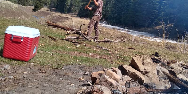
Crowd patterns here are pronounced. Holiday weekends draw enough campers that finding a site can be difficult, and Hailee S. cautions directly: "Do not expect to have a quiet camp if you go on a holiday weekend." Midweek arrivals, particularly Wednesday through Thursday, give campers a much better shot at the better creek-side spots. Winter camping is possible but brings temperatures in the 20s and persistent wind, so fires need careful management.
Cell coverage is essentially absent throughout the area on Verizon, beginning roughly at Haynes Canyon on Sunspot Highway. Cloudcroft provides the nearest resupply point for water, food, and signal. Campers looking to explore dispersed camping near Lincoln National Forest will find several comparable options in the surrounding terrain, including Lincoln NF - Forest Service Road 64 - Dispersed Camping to the southwest and Upper Karr Canyon Campground to the northwest. Temperatures swing significantly between day and night regardless of season, so layers and cold-weather gear are worth packing even in summer.
Description
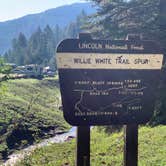
Partially developed picnic and dispersed camping area nestled next to the waterfalls called Bluff Springs. A short trail exists just beyond the bridge that will take you up and over the waterfalls as well as another trail (Willie White Spur T112) that follows and old railroad grade to the east.
RV Road Trip Guides

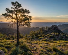
Map & DirectionsBluff Springs Dispersed Camping is located in New Mexico near Sunspot
 Dispersed Camping
Directions
Take the Sunspot Highway (NM6563) located just 2 miles south of Cloudcroft about 8 miles and turn left (east) onto the Rio Penasco Rd, county road C017. This road is paved up to Water Canyon, then dirt the remainder of the way. Continue on the dirt portion for another 1.5 miles and Bluff Springs will appear on your right.
Coordinates
32.83114965 N
105.73726997 W
Connectivity
 T-MobileNo Coverage
- VerizonNo Coverage
- AT&TNo Coverage
Connectivity
- T-MobileNo Coverage
- VerizonNo Coverage
- AT&TNo Coverage
Access
- Drive-InPark next to your site
- Walk-InPark in a lot, walk to your site.
Site Types
- Tent Sites
- RV Sites
- Standard (Tent/RV)
- Dispersed
Features
For Campers
- ADA Access
- Trash
- Firewood Available
- Toilets
- Alcohol
- Pets
- Fires
For Vehicles
- Pull-Through Sites
- Big Rig Friendly
DISPERSED CAMPING
Enjoy dispersed camping on government land and leave no trace. Pack in and pack out. No (or limited) services at this camping area. Permit may be required.
PERMIT might be REQUIRED
We curate permit requirements across the US for our PRO members. Try PRO to see if Bluff Springs Dispersed Camping needs a permit.
Drive Time
- 2 hrs 2 min from Las Cruces, NM
- 2 hrs 9 min from El Paso, TX
- 3 hrs 48 min from Albuquerque, NM
- 4 hrs 11 min from Santa Fe, NM