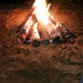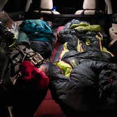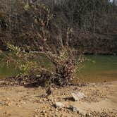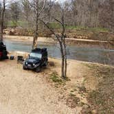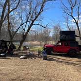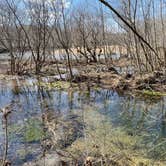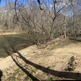
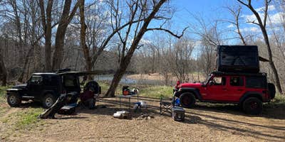
Reaching Courtois Creek Dispersed means committing to roughly a mile of rough, narrow road off the main highway before arriving at a creekside clearing in Mark Twain National Forest. No reservations, no fees, no electricity, no toilets. Campers have reached the site in vehicles ranging from a Toyota Highlander to an F350 with a slide-in camper, but reviews consistently flag low-hanging branches, water-filled ruts, and at least one sharp rocky turn that demands slow, careful navigation. Carrying a handsaw is a practical precaution if a downed tree blocks the lane.
The creek is the main draw. Visitors report it draws fly fishers and families floating with kids, and the flat ground along the bank gives dogs room to run and swim. No cell signal reaches the site. Noise is not zero: trucks on a nearby road are audible, and a house sits on the hill across the water. "Can hear a road and trucks passing fairly nearby," notes Jen, who also found the water worth the trip.
Campers interested in more developed options nearby can use the site as a base while exploring campgrounds near Mark Twain National Forest, which include a range of setups across the region. For a nearby alternative with established facilities, Mark Twain National Forest Berryman Trail & Campgrounds sits about 2.2 miles east and offers a more structured experience.
Description
This section is the gateway to the Ozarks--starting at Onondaga Cave State Park and winding through the Huzzah State Forest/Conservation Area, opening into the lead district of Missouri and the Mark Twain National Forest, view variegated wildlife, flora, and scenery and end up at Hazel Creek on the south. This 45-mile long section includes 7.5 miles of state land north of the Narrows Trailhead, crosses private land at the Bass Resort, follows the Berryman Trail from about mile 22 through mile 32, and connects to the Trace Creek Section on the south at the Hazel Creek Trailhead. It is part of the over 220 mile continuous through-trail. Use caution after periods of rain as the creek crossings can be hazardous. This section of trail includes springs, creeks and other water locations, as well as some popular places for trailside camping.
Dispersed camping is the term used for free camping anywhere in the National Forest OUTSIDE of a designated campground. Dispersed camping means there are no toilets, no structures, no trash cans, no treated water, and no fire grates. There are extra responsibilities required for this type of camp. It's a must to educate yourself before you try it, but we hope the adventure of dispersed camping in the Mark Twain National Forest calls to you!
Pick a Campsite and follow the Leave No Trace Principles Camp 100 feet away from trails and water sources. Treat any water found in the area before consuming it. Human waste (Feces) must be buried at least 6 inches deep and covered. Pack out all of your garbage.
RV Road Trip Guides

Map & DirectionsCourtois Creek Dispersed is located in Missouri near Davisville
 Dispersed Camping
Coordinates
37.92842024 N
91.10197018 W
Connectivity
 T-MobileNo Coverage
 VerizonLTESome Coverage
- AT&TNo CoverageVerified by 1 userLast on 11/14/25
Connectivity
- T-MobileNo Coverage
- VerizonLTESome Coverage
- AT&TNo CoverageVerified by 1 userLast on 11/14/25
Access
- Drive-InPark next to your site
- Walk-InPark in a lot, walk to your site.
Site Types
- Tent Sites
- Dispersed
- Group
Features
For Campers
- Alcohol
- Pets
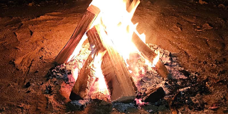
- Fires
DISPERSED CAMPING
Enjoy dispersed camping on government land and leave no trace. Pack in and pack out. No (or limited) services at this camping area. Permit may be required.
PERMIT might be REQUIRED
We curate permit requirements across the US for our PRO members. Try PRO to see if Courtois Creek Dispersed needs a permit.
Drive Time
- 1 hr 35 min from St. Louis, MO
- 1 hr 42 min from Jefferson City, MO
- 1 hr 57 min from Cape Girardeau, MO
- 2 hrs 12 min from Columbia, MO