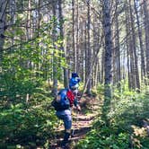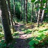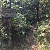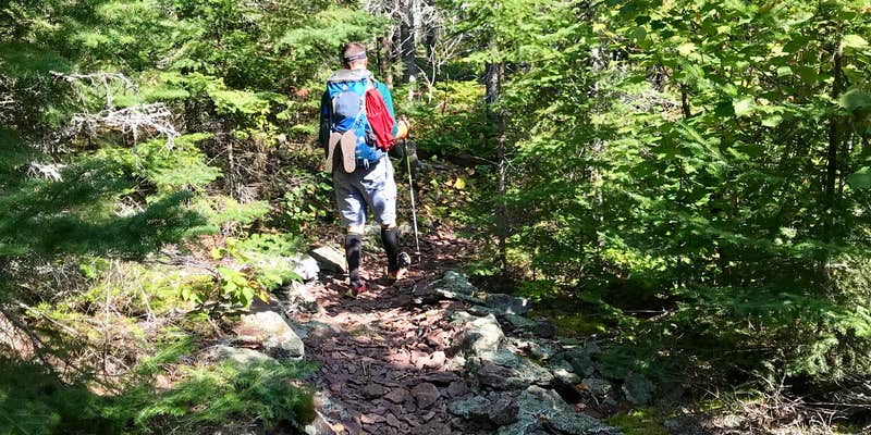
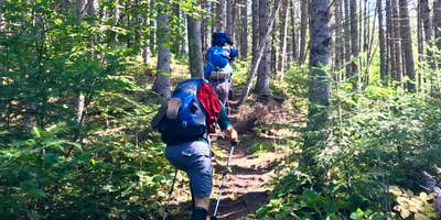
Superior National Forest's Superior Hiking Trail includes Cliff Creek, a hike-in group site managed by the US Forest Service above the creek it's named for. The site sits at the end of a short spur trail, which adds some separation from through-hikers. With at least eight tent pads, it ranks among the larger group sites on the trail, though the fire pit is small relative to that capacity. Water requires a walk to the creek. Campers heading northbound on the trail pass exposed red Rhyolite and open sightlines toward Lake Superior before climbing to reach the site. Nearby options on the same trail include Durfee Creek, Superior Hiking Trail to the west and Kimball Creek, Superior Hiking Trail to the east. Bring a water filter and expect to share the site if hiking during peak fall color season.
RV Road Trip Guides


Map & DirectionsCliff Creek, Superior Hiking Trail is located in Minnesota near Grand Marais
 Public Campground
Coordinates
47.79772504873253 N
90.22140695267626 W
Connectivity
 T-MobileNo Coverage
 VerizonLTESome Coverage
- AT&TNo Coverage
Connectivity
- T-MobileNo Coverage
- VerizonLTESome Coverage
- AT&TNo Coverage
Access
- Hike-InBackcountry sites.
Site Types
- Tent Sites
- Group
Features
For Campers
- Toilets
- Pets
- Fires
Drive Time
- 2 hrs 15 min from Duluth, MN
- 4 hrs 21 min from Minneapolis, MN
- 4 hrs 31 min from Eau Claire, WI
- 5 hrs 42 min from Wausau, WI